 22 mi away
9.2
Gaping GillSouthern slopes of Ingleborough, near Clapham, North Yorkshire
Limestone pothole and underground waterfall
22 mi awaySouthern slopes of Ingleborough, near Clapham, North Yorkshire
Limestone pothole and underground waterfall
 12 mi away
Between Silverdale and the Yealands, Lancashire
Mixed-habitat reserve · Donation
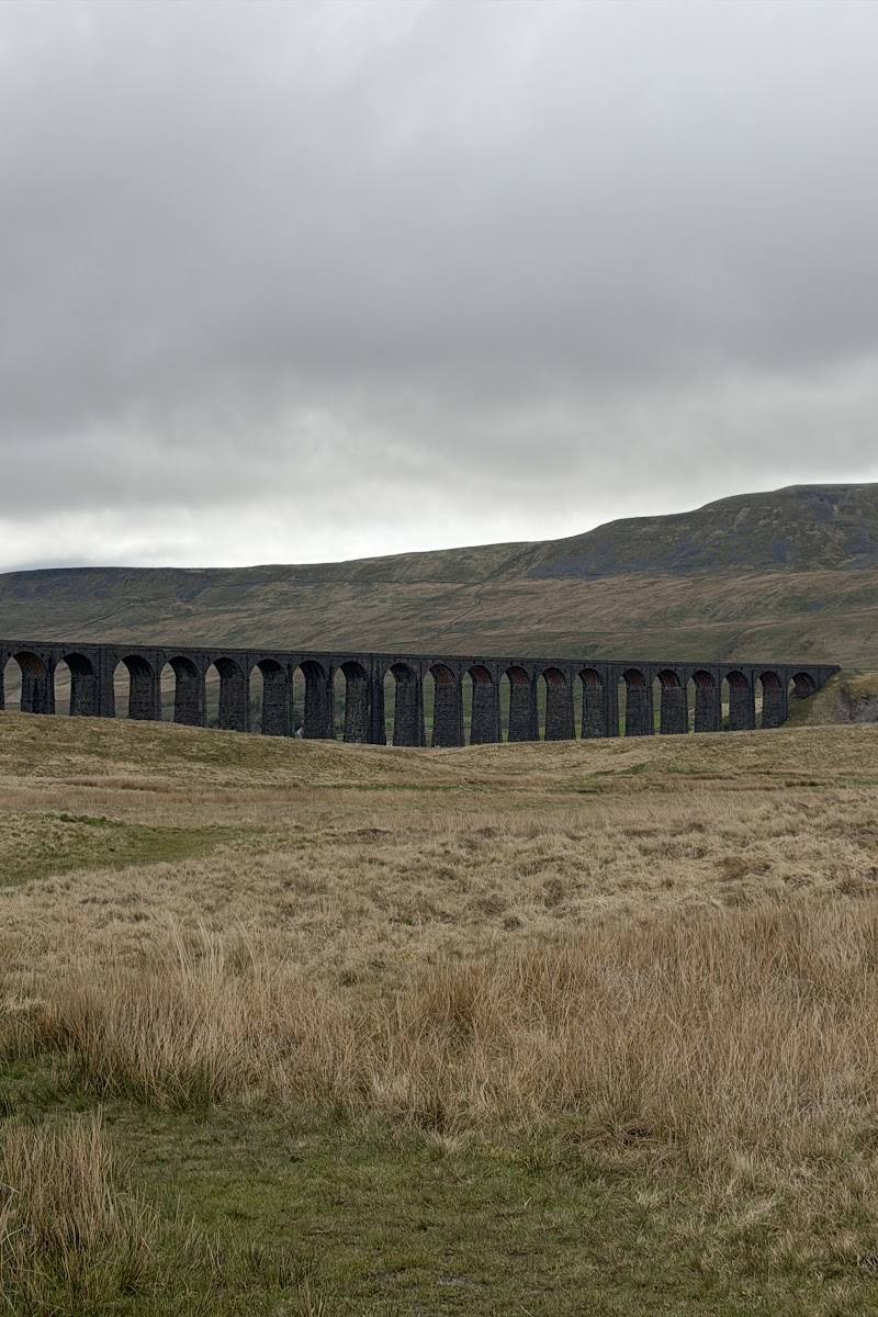 24 mi away
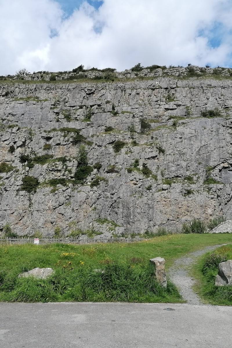 9.6 mi away
Crag Road, Warton, near Carnforth, Lancashire
Mixed-habitat reserve
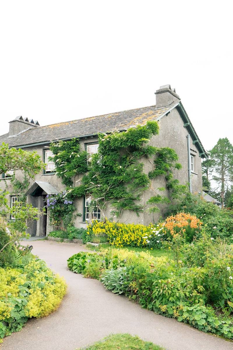 23 mi away
 11 mi away
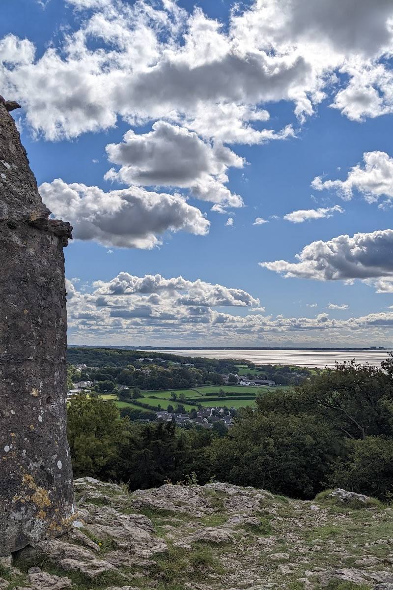 13 mi away
Around Arnside and Silverdale, on Morecambe Bay, spanning Cumbria and Lancashire
Waterside landscape · Check before visiting
 22 mi away
Ingleborough, Yorkshire Dales National Park
Countryside walk · Check before visiting
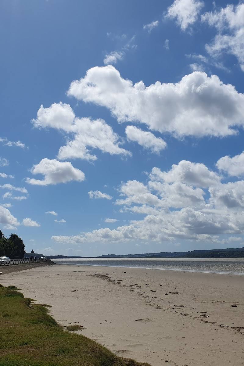 13 mi away
On the Lancashire–Cumbria border, around Arnside and Silverdale
Mixed-habitat reserve · Check before visiting
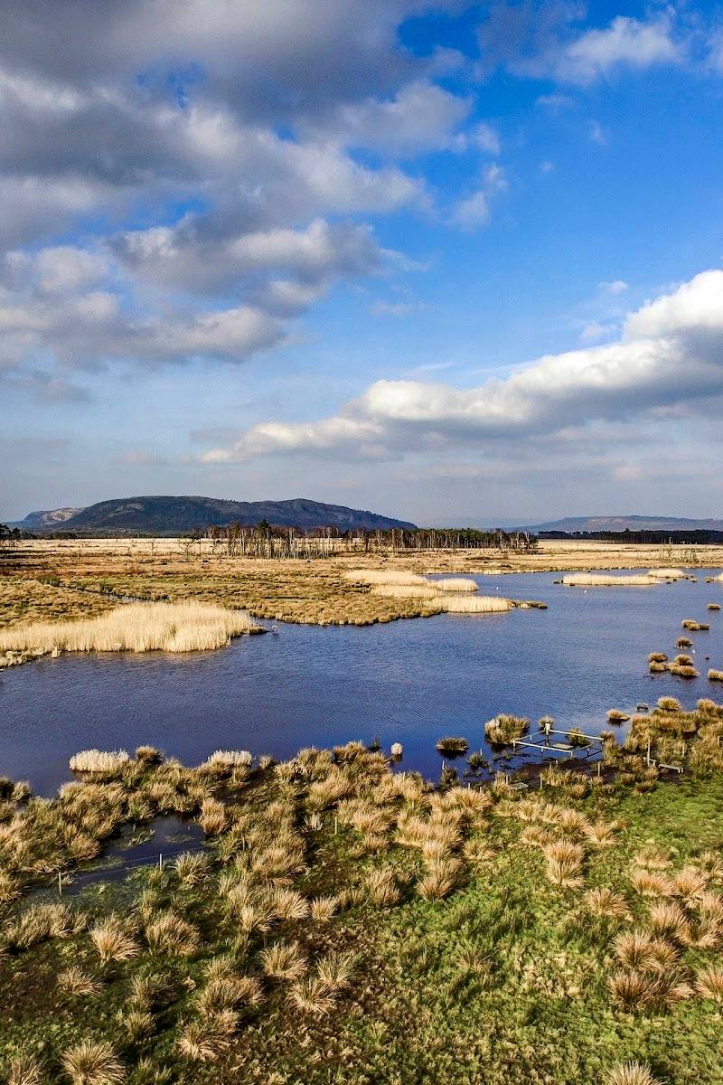 16 mi away
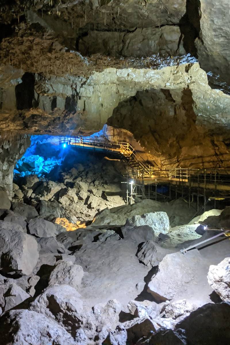 21 mi away
 16 mi away
North-west England, principally Lancashire
Moor · Check before visiting
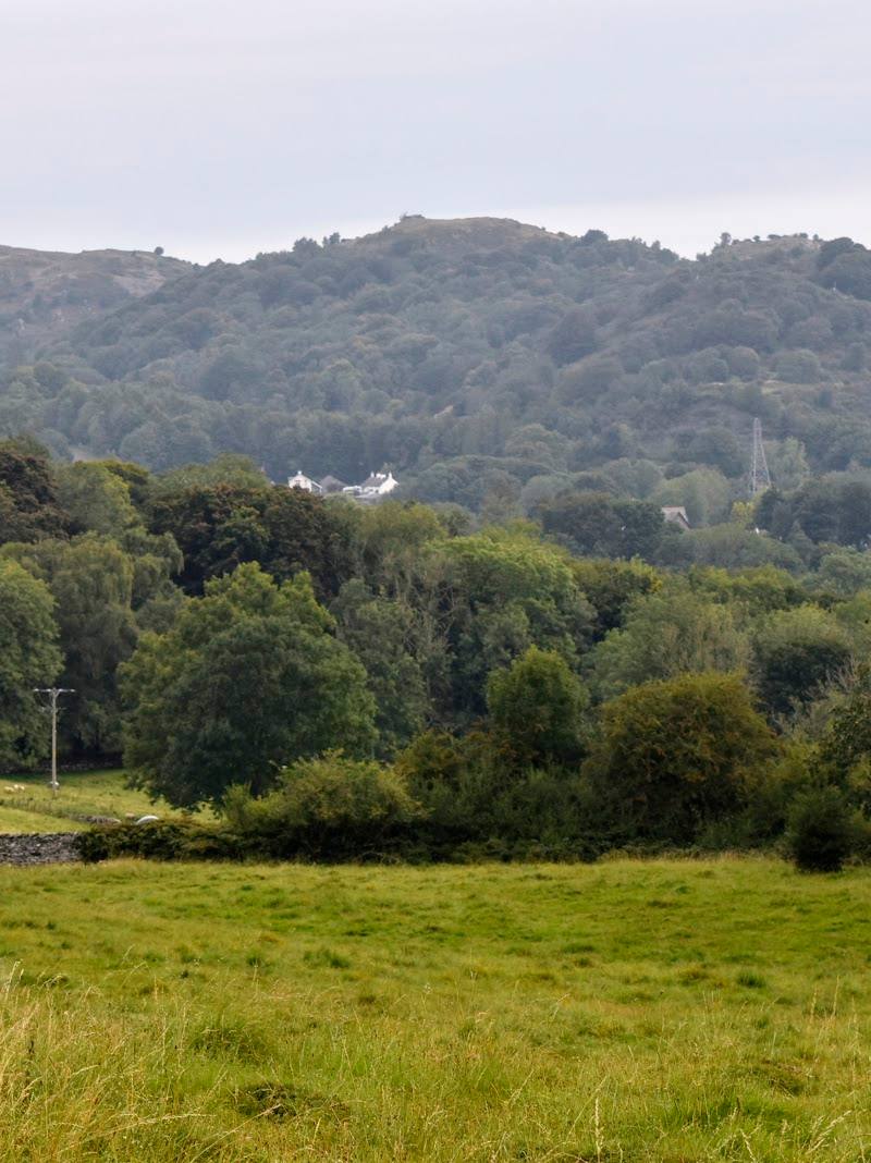 13 mi away
Grange-over-Sands, Cumbria, LA11 6EG
Mixed-habitat reserve · Check before visiting
 11 mi away
Off Park Road, north of Silverdale, Arnside and Silverdale National Landscape, Lancashire
Ancient woodland · Free; the supplied source describes the car park as free of charge. Check current arrangements before visiting.
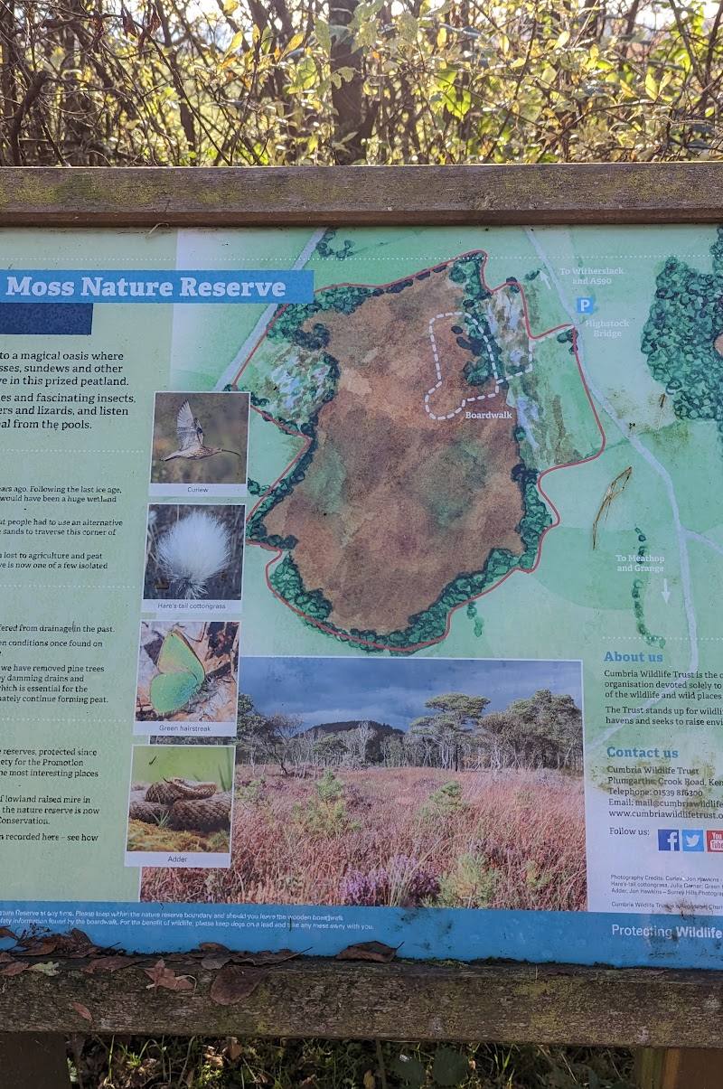 15 mi away
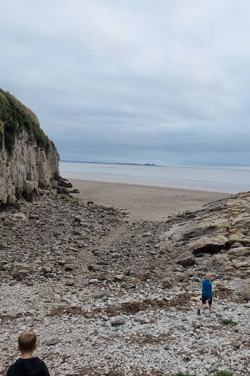 11 mi away
Arnside and Silverdale, on the Lancashire–Cumbria border
Mixed-habitat reserve · Check before visiting
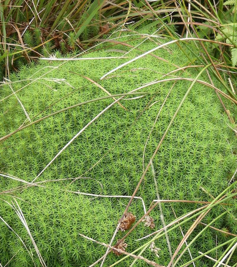 21 mi away
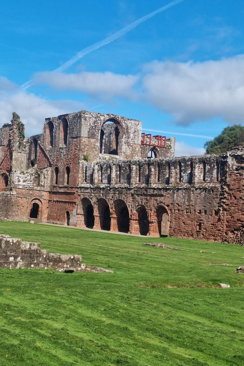 15 mi away
 11 mi away
Between Yealand Conyers and Warton, Arnside & Silverdale, Lancashire
Ancient woodland · Check before visiting
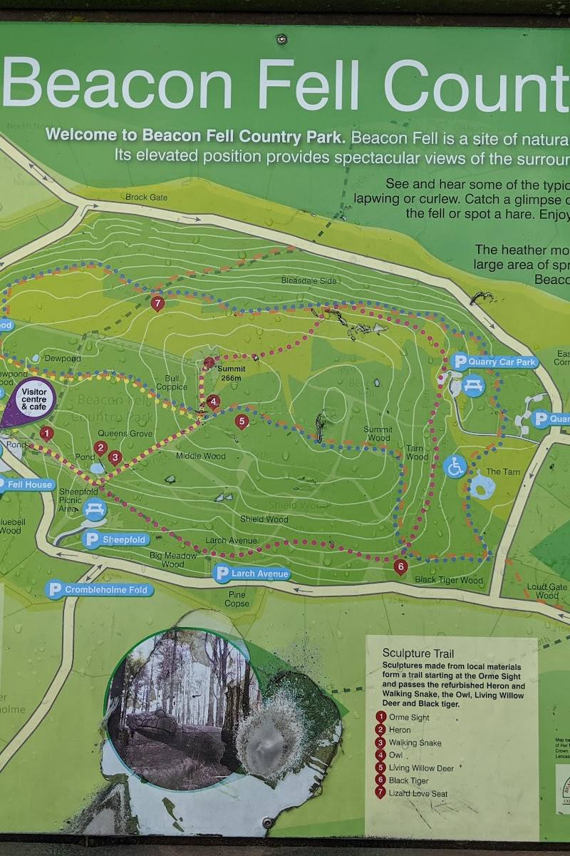 13 mi away
Carwags Lane, near Goosnargh, Preston, Lancashire PR3 2ES
Mixed-habitat reserve · Check before visiting
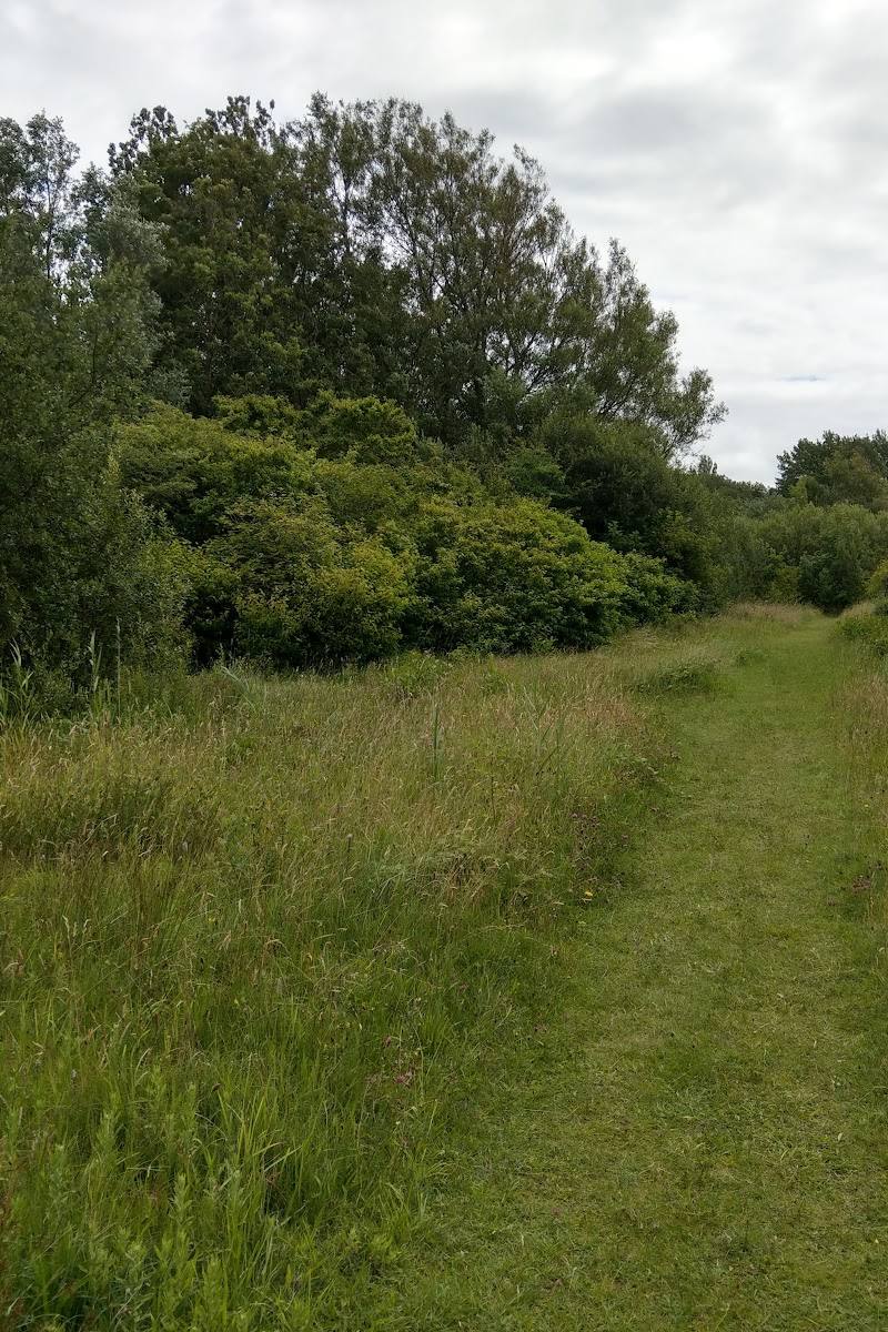 1.2 mi away
Money Close Lane, Heysham, near Morecambe, Lancashire, LA3 2UW
Mixed-habitat reserve · Check before visiting
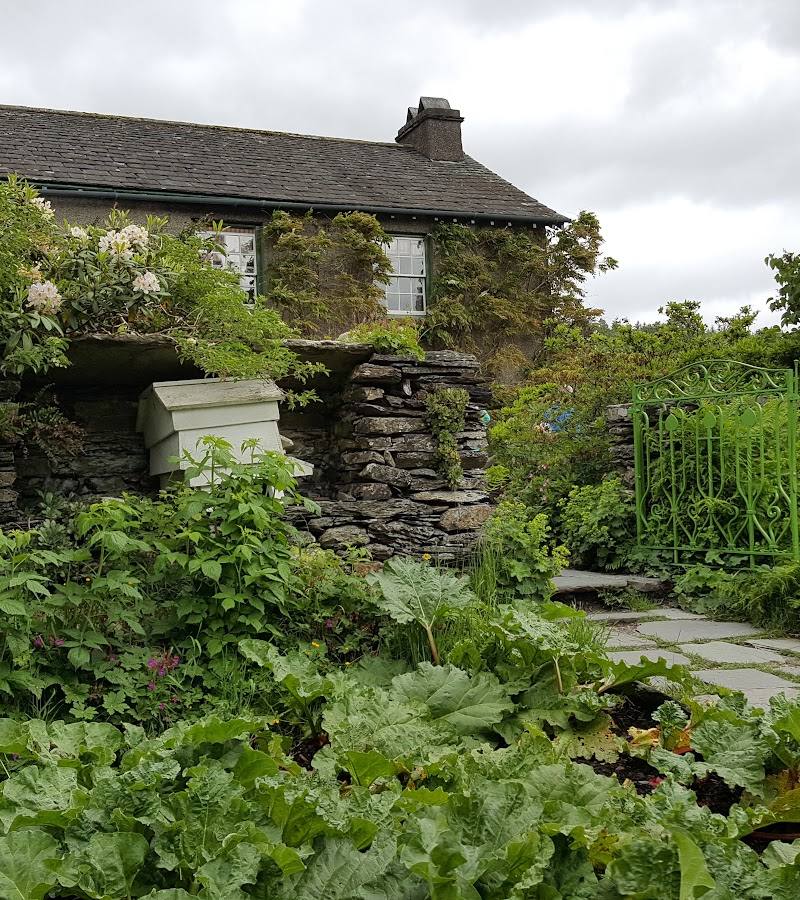 23 mi away
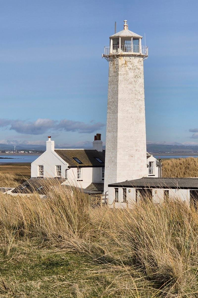 13 mi away
Southern tip of Walney Island, near Barrow-in-Furness, Cumbria
Mixed-habitat reserve · Check before visiting
 13 mi away
Slackhead Road, Hale, near Milnthorpe, Cumbria
Mixed-habitat reserve · Free
24 of 49 places
Distances are approximate and straight-line, not driving distances.