On the Lancashire–Cumbria border, around Arnside and Silverdale
Arnside & Silverdale National Landscape
Mixed-habitat reserve
Place photograph
8.1
Wildland
Half day
Time
Check
Cost
Peaceful
Feel
Why it's Wildland
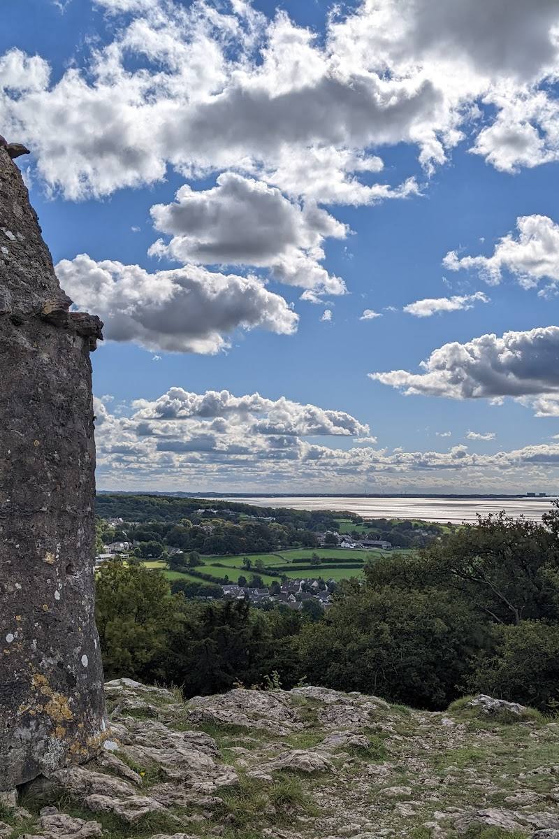
8.1Limestone pavement, ancient woodland, orchards, meadows and the shining sands of Morecambe Bay sit within a compact landscape shaped for unhurried exploring.
This is more than a scenic coastal walk: limestone pavement, woodland, meadow and estuary habitats meet in a small area, with village paths linking the landscape into a rewarding day out.
Peaceful · Wild · Big-sky
Find your way
Open mapOn the Lancashire–Cumbria border, around Arnside and Silverdale
Opening map…
Know this place a little better?
The experience
Build a visit around one clear walk rather than trying to cover the whole landscape: choose a village or reserve as your starting point, explore a stretch of footpath, and allow time to pause for views and wildlife. Routes and access conditions vary across the area.
Things to do
Explore the landscape on foot
Use the area’s network of lanes and footpaths to explore at an unhurried pace. Choose a route to suit your available time and check its current access and conditions.
Look for the landscape’s limestone features
Limestone pavement is one of the area’s defining features. The supplied official source highlights Gait Barrows nature reserve as a place to explore limestone pavement.
Explore a local nature reserve
The official National Landscape site provides a nature-reserves section. Check the individual reserve’s access information and current guidance before visiting.
Make a day of it
Quick escape · 1–2 hours
A short village-to-landscape walk
- 01
Choose a starting village or access point and check a current local map.
- 02
Follow a suitable local footpath into the surrounding landscape.
- 03
Pause where the scenery opens out to take in the limestone, woodland or estuary setting.
- 04
Return by your chosen route, checking conditions and access before setting off.
Half day · Half day
Make a half day of it
- 01
Start in Arnside or Silverdale and check the current local travel and access information.
- 02
Choose a walk that links village paths with one of the landscape’s characteristic habitats.
- 03
Allow time to stop for views and look closely at the changing limestone, woodland and coastal scenery.
- 04
Finish with refreshments at a local village café or shop, checking opening times in advance.
Verified history
The supplied material describes the landscape as shaped by human and geological forces, but does not provide specific dates, people or events that can be presented as verified history.
Hidden details
Look closely at the limestone pavement — Limestone pavement is a defining feature of the area. Gait Barrows is highlighted by the official National Landscape site in connection with limestone pavement; check its current access details before visiting.
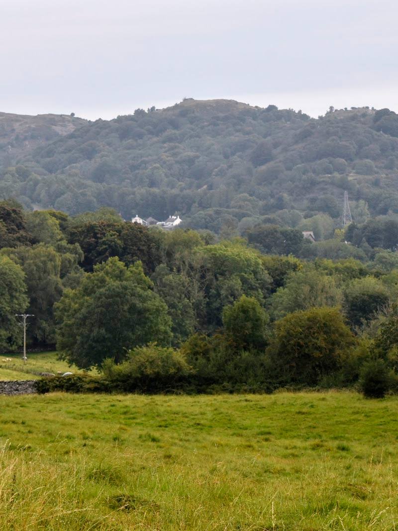
Notice how quickly the habitats change — The official source describes limestone pavement, ancient woodland, orchards, meadows and coastline within the National Landscape. Look for transitions between these settings as you travel through the area.
When to go
April · May · September · October · A clear morning is a sensible choice for a walk and wildlife watching; exact seasonal wildlife timings are not established by the supplied sources.
The source row recommends spring for wildflowers and birdlife and autumn for autumn colour. The official National Landscape site also highlights wild orchids and wildlife.
Expect changeable conditions and potentially muddy paths, particularly in winter. Check local route and safety information before travelling.
Worth pairing with
Arnside or Silverdale village
Use a village as a practical starting point for local paths; village shops and cafés are reported, but individual businesses and opening times are not verified.
Gait Barrows
The official National Landscape site highlights Gait Barrows in connection with limestone pavement and nature reserves. Check the reserve’s current access information before visiting.
RSPB Leighton Moss
Countryfile identifies Leighton Moss as a nearby nature reserve and describes a circular walk linking it with Silverdale and other landscape highlights. Verify current entry and route details before setting out.
What to look for
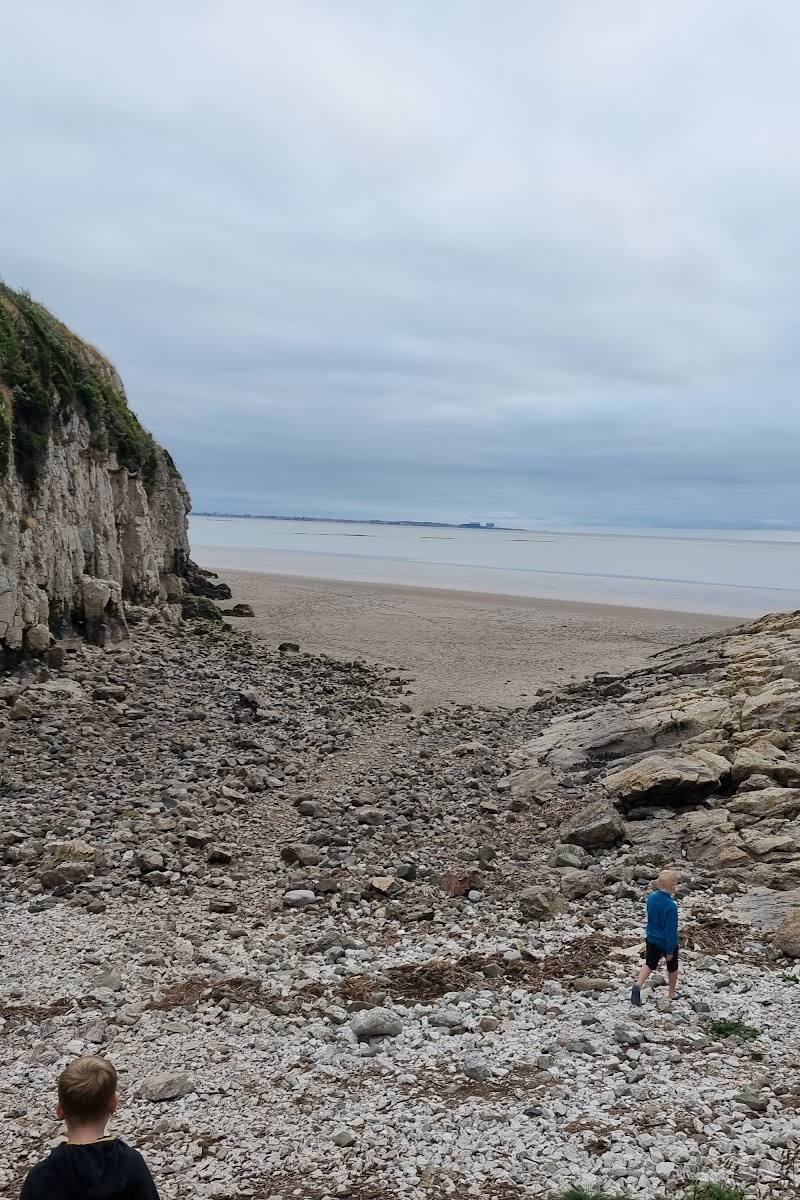
Notice the contrast between limestone pavement, woodland, orchards and meadows, then look out towards Morecambe Bay’s sands and estuary. The supplied sources do not verify particular rare species at specific locations.
The story
Human and geological influences are described in the source row, but specific historic claims are not sufficiently evidenced here.
Best time to go
Spring and autumn are highlighted for wildflowers and birdlife in spring, and autumn colour later in the year.
Spring for wildflowers and birdlife; autumn for colour. Early starts may suit visitors seeking a quieter walk, but specific crowd patterns are not verified.
How long to spend
Half day
Perfect for
Walkers · Wildlife lovers · Photographers · Families
Practical information
Opening & access
A public landscape with walks and multiple village access points. Individual routes, reserve entrances and facilities vary; check current local information before setting out.
Check before visiting
Parking
Several car parks are reported at key entry points; exact locations, availability and charges are not specified. Check before visiting.
Check before visiting
Toilets
Public toilets are reported in Arnside and Silverdale; check current availability.
Check before visiting
Food & drink
Local shops and cafés are reported in the villages; check opening times.
Check before visiting
Dogs
Dogs are reported as welcome in the source row; check current rules for individual reserves and follow local signage.
Check before visiting
Accessibility
Some easy-access routes are reported, but not all paths are wheelchair accessible. Check route conditions and access details before visiting.
Check before visiting
Cost
Check before visiting
Check before visiting
Water
Coastal estuary, tidal flats and wetland habitats. No swimming or paddling permission is established by the supplied evidence.
Gallery
Place photographsKeep exploring
Around Arnside & Silverdale National Landscape
Within 50 km · approximate straight-line distances