Neist Point, Duirinish Peninsula, near Glendale, Isle of Skye, IV55 8WU
Neist Point
route · Coastal walk
Place photograph
6.9
Wildland
1–2 hours
Time
Free
Cost
Dramatic
Feel
Why it's Wildland
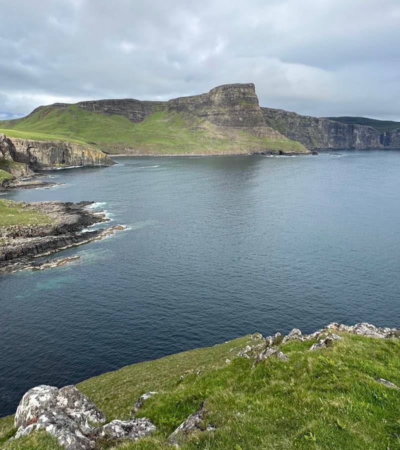
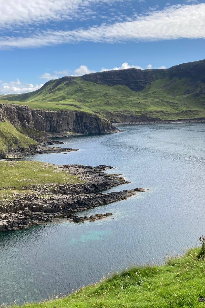
6.9At Skye’s western edge, a steep coastal path leads past towering cliffs to a lighthouse first lit in 1909. Along the way, remnants of the equipment used to supply the former manned station give this dramatic viewpoint a more human story.
The draw here is the combination of exposed headland, high sea cliffs and a lighthouse reached on foot at the far western tip of Skye. The return climb is steep, but the route rewards unhurried walkers with changing coastal views and traces of the lighthouse’s working past.
Dramatic · Wild
Find your way
Open mapNeist Point, Duirinish Peninsula, near Glendale, Isle of Skye, IV55 8WU
Opening map…
Know this place a little better?
The experience
Walk the out-and-back coastal path from the road-end car park towards Neist Point Lighthouse. Expect a steep descent and a demanding return climb, with cliff and sea views along the route. The lighthouse tower is not open to the public.
Things to do
Walk to Neist Point Lighthouse
Follow the steep path and steps from the road-end car park towards the lighthouse. The route returns the same way, with a notable climb back up.
About 45 minutes walking without stops; allow longer for the return climb and exploring.
Look for the old lighthouse supply equipment
The supplied route guide describes remnants of an aerial ropeway used to move supplies down the cliff, as well as an old landing point and crane. Observe from the path and do not approach unstable structures.
Make a day of it
Quick escape · About 1–2 hours
Quick escape: the lighthouse walk
- 01
Start from the car park at the end of the road.
- 02
Follow the established path and steps towards Neist Point Lighthouse, pausing at safe points for the cliff and coastal views.
- 03
Turn back by the same route; allow time for the steep return climb.
- 04
Do not enter the lighthouse: public access to the tower is not available.
Half day · Allow 2–3 hours
Make a half day of it: take the route slowly
- 01
Walk the route at an unhurried pace, taking breaks on the descent and return climb.
- 02
Notice the old supply equipment and landing point associated with the lighthouse station.
- 03
Spend time observing the cliffs, sea and seabirds from safe, established viewpoints.
- 04
Return by the same path and allow for changing weather and footing.
Verified history
The Northern Lighthouse Board records that the lighthouse was engineered by David A Stevenson and first exhibited its light on 1 November 1909. Its fog signal was completed in 1910 and later discontinued; the station was converted to automatic operation in 1990. The lighthouse tower is not open to the public.
Hidden details
The lighthouse’s working supply route — Look for the remnants of the aerial ropeway and the old landing point associated with supplying the lighthouse. These details hint at the logistics of keeping a remote station operating before automation.
When to go
April · May · June · July · August · September · Early morning for a quieter visit; summer evenings have long daylight but can be busy.
Longer daylight in spring and summer gives more time for the walk. A supplied local guide reports that summer and sunset periods can be busier; suitable wind and visibility matter in every season.
The route is exposed and runs near high cliffs. A supplied route guide advises against walking in windy conditions or mist, and notes that the path may be slippery after rain. Check the forecast and current local conditions before setting out.
The route
- surface
- Concrete path and steps; may be slippery after heavy rain.
- distance
- 2.2 km return
- duration
- About 45 minutes walking without stops; allow 1–2 hours for a visit.
- difficulty
- Short but steep in places; the return climb and steps can be demanding.
- route shape
- Out and back, returning by the same path
- start point
- Car park at the end of the single-track road to Neist Point.
- parking start
- A car park is reported at the road end. It is described as small and can fill quickly; check current conditions and avoid obstructing the road.
- shorter alternative
- Turn back from a safe point on the descent if conditions, footing or energy make continuing unsuitable. The return climb remains part of the route.
- High coastal cliffs and sea views
- Neist Point Lighthouse, first lit in 1909
- Remains associated with the lighthouse’s old supply system
- Seabirds reported along the cliffs
What to look for
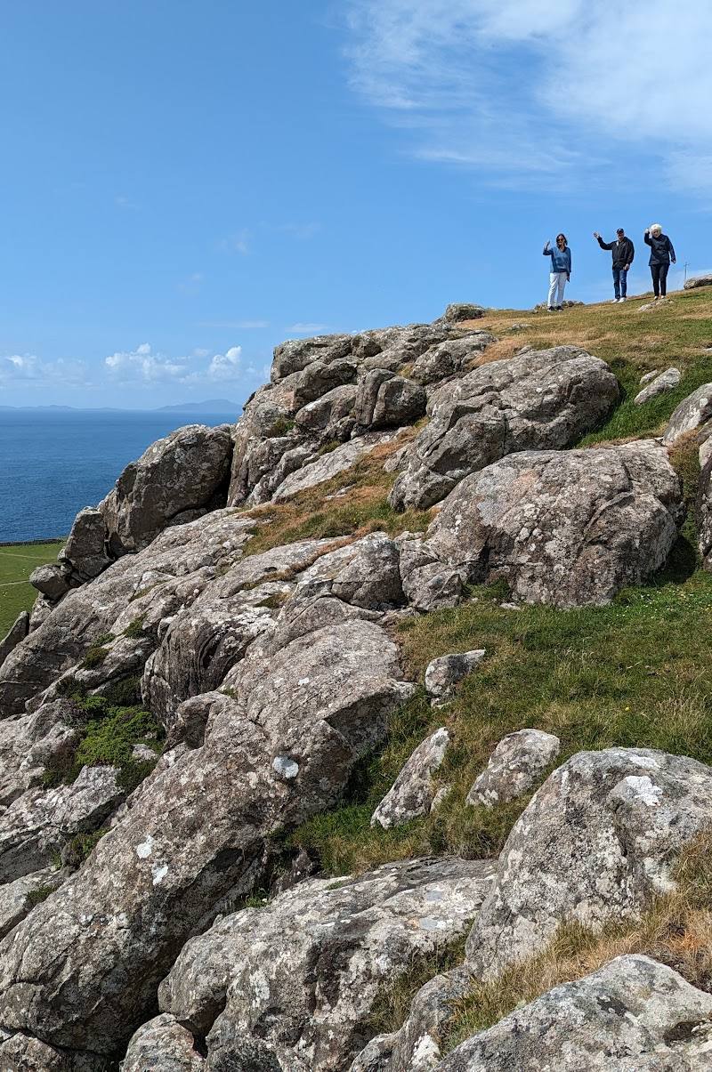
Look for the old aerial ropeway and its remaining equipment, the former landing point and crane, and seabirds on the cliffs. Stay on the path and well back from cliff edges.
The story
Industry
Best time to go
Spring to autumn for longer daylight; choose a calm, clear day whenever you visit.
Early morning is often quieter, according to a supplied local guide. Summer evenings offer long light but can be busy, especially around sunset. Go only when visibility and wind conditions are suitable.
How long to spend
1–2 hours
Perfect for
Walkers · Photographers · History lovers
Route at a glance
Duration
1–2 hours
Terrain
Coastal, Remote countryside
Parking / start
A car park is reported at the start of the walk at the end of the single-track road. It can fill quickly in busy periods; check current conditions and do not park obstructively.
Before you go
Address
Website
Listed hours
- Monday: Open 24 hours
- Tuesday: Open 24 hours
- Wednesday: Open 24 hours
- Thursday: Open 24 hours
- Friday: Open 24 hours
- Saturday: Open 24 hours
- Sunday: Open 24 hours
Check before visiting.
Google rating
Practical information
Opening & access
The route starts at the end of the single-track road to Neist Point and follows a steep path and steps towards the lighthouse. The lighthouse itself is not open to the public. The path runs close to high cliffs: avoid the walk in strong winds or mist, take care on wet or slippery surfaces, and check conditions before setting out.
Check before visiting
Parking
A car park is reported at the start of the walk at the end of the single-track road. It can fill quickly in busy periods; check current conditions and do not park obstructively.
Check before visiting
Toilets
Check before visiting
Check before visiting
Food & drink
Check before visiting; a supplied local guide reports no café at the point.
Check before visiting
Dogs
Keep dogs on a short lead near grazing sheep; check local requirements before visiting.
Check before visiting
Accessibility
Not wheelchair accessible. The route includes steep sections and a long flight of steps; no alternative accessible route to the lighthouse is reported.
Cost
Free
Water
Sea
Gallery
Place photographs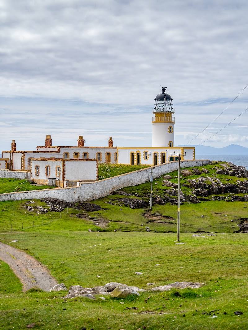
Keep exploring
Around Neist Point
Within 50 km · approximate straight-line distances