Near Dunvegan, Isle of Skye, Scotland
Macleod’s Table North
Viewpoint
Place photograph
6.0
Wildland
Time
Check
Cost
Dramatic
Feel
Why it's Wildland
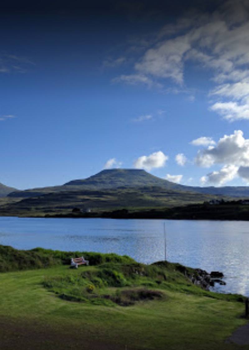
6.0A flat-topped hill above Dunvegan, with a hilltop feast woven into its local legend.
The tabletop silhouette and exposed moorland setting give this a distinctive character. It has strong Wildland potential, but the evidence is not yet strong enough to turn that promise into a dependable hillwalking recommendation.
Dramatic · Wild · Secluded
Find your way
Open mapNear Dunvegan, Isle of Skye, Scotland
Opening map…
Know this place a little better?
The experience
The source row describes a demanding hill outing for experienced walkers, with views over Loch Dunvegan from the northern summit. It is not a signed visitor trail or a casual viewpoint stop. A verified route, starting point and duration are needed before an itinerary can be recommended.
When to go
· No specific optimum established; clear visibility is essential.
The source row recommends late spring or summer in clear, dry weather. No hill-specific seasonal research was supplied.
The source row warns of very exposed and boggy terrain, no marked path and unsuitable conditions in low cloud. It recommends a map, compass, waterproof layers and full hillwalking kit, and reports no phone signal.
Worth pairing with
Dunvegan Castle & Gardens
A worthwhile separate stop around Dunvegan, adding the documented story of Clan MacLeod’s seat to the landscape. VisitScotland highlights the water garden, walled garden and woodland trails. Check current admission and opening arrangements; no combined hill itinerary or travel time has been verified.
What to look for
The flat summit profile and, in clear conditions, the outlook towards Loch Dunvegan described in the source row.
The story
Folklore & legend
Best time to go
Late spring or summer in clear, dry conditions, according to the source row.
Choose clear, dry conditions in late spring or summer. The source row explicitly warns against low cloud; visibility matters more than a particular time of day.
Perfect for
Walkers · Photographers
Practical information
Opening & access
Check before visiting. The source row describes unmarked, rough moorland requiring experienced navigation, but the supplied research does not establish a reliable approach or access arrangements.
Check before visiting
Parking
The source row reports no nearby parking. A suitable starting point is unverified; check before visiting.
Check before visiting
Toilets
The source row reports no toilets or facilities.
Food & drink
Check before visiting.
Check before visiting
Dogs
The source row flags dogs as welcome, but local restrictions and livestock conditions are unverified. Check before visiting.
Check before visiting
Accessibility
The source row describes exposed, sometimes boggy terrain without a marked path, unsuitable for beginners and not wheelchair accessible. Full hillwalking equipment and navigation skills are required.
Cost
Check before visiting
Check before visiting
Gallery
Place photographsKeep exploring
Around Macleod’s Table North
Within 50 km · approximate straight-line distances

