Talisker, Isle of Skye, Scotland IV47 8SF
Talisker Bay Beach
route · Coastal walk
Place photograph
8.0
Wildland
1–2 hours
Time
Check
Cost
Dramatic
Feel
Why it's Wildland
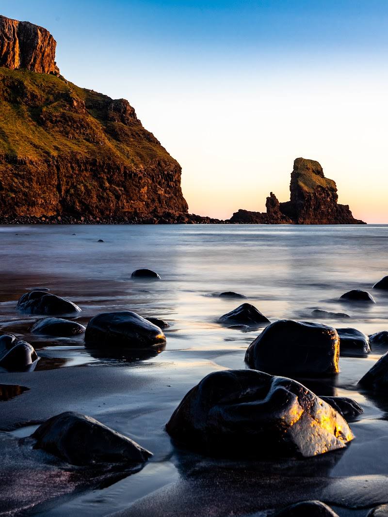
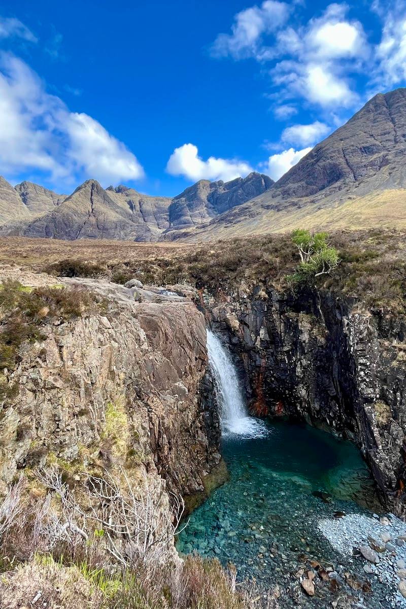
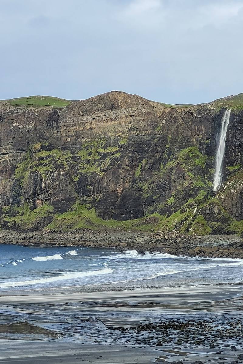
8.0A short walk leads to a striking Skye shoreline of sand and stones, enclosed by cliffs and marked by a sea stack and a waterfall that plunges towards the shore.
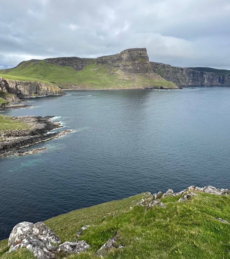
The reward here is unusually concentrated: a brief walk opens onto a dramatic bay with a sea stack, sheer cliffs and a waterfall at the shore. It is a strong coastal outing, especially on a fine evening or at low tide.
Dramatic · Wild · Atmospheric
Find your way
Open mapTalisker, Isle of Skye, Scotland IV47 8SF
Opening map…
Know this place a little better?
The experience
Allow about an hour for the walk, plus time at the shore. Follow the track from the road end to the bay, then take in the sea stack, cliffs and waterfall. Low tide reveals more of the beach; check conditions and access before travelling.
Things to do
Walk the track to Talisker Bay
Follow the signed route from the road end, passing Talisker House and farmland before reaching the shore.
About 1 hour return, according to Walkhighlands
See the sea stack and waterfall
From the bay, look for the prominent sea stack and the waterfall descending the northern cliffs towards the shore.
Explore the shore at low tide
The beach is made up of sand and stones; low tide is recommended by the route guide, and another supplied guide notes that very high tides can cover the sand.
Look back towards Preshal Mòr
On the approach, look back to the dome-shaped hill ringed by cliffs. Walkhighlands notes that Boswell climbed it with Donald MacLean; the route up the cliffs is described as a scramble, not part of this short bay walk.
Make a day of it
Quick escape · About 1 hour walking, plus time at the shore
Quick Escape: walk to the bay
- 01
Start near the end of the minor road to Talisker and park without obstructing the turning area or passing places.
- 02
Take the signed track towards the bay, passing Talisker House and farmland.
- 03
Spend time on the shore looking towards the sea stack, cliffs and waterfall, then return by the same route.
Half day · Half day
Make a half day of it: take your time at Talisker Bay
- 01
Allow for the walk and return, using the published route estimate of 3.5 km and about 1 hour.
- 02
Plan your arrival for low tide if you want more of the sandy and stony shore exposed.
- 03
Spend unhurried time viewing the sea stack and waterfall; choose a fine evening if conditions suit.
- 04
Check parking, weather and tide information before setting out.
Verified history
Talisker House, passed on the route, dates from the 1720s. Walkhighlands says it was for centuries the home of the next-in-line to the Macleod chief. Dr Johnson and James Boswell stayed there during their tour of the Hebrides. Boswell described the setting in his account, praising its situation and recalling the force and noise of the coastal waves. The route guide also records that Boswell climbed nearby Preshal Mòr with Donald MacLean, then Laird of Coll.
Hidden details
Talisker House dates to the 1720s — The route passes beside Talisker House before continuing towards the bay. The guide links the house with the Macleod family and the visit of Dr Johnson and James Boswell.
The hill associated with Boswell — Looking back along the approach, identify the dome-shaped Preshal Mòr, ringed by cliffs. The guide says Boswell ascended it with Donald MacLean; the cliff route is a scramble.
When to go
· A fine evening is highlighted by Walkhighlands; plan for low tide if seeing more exposed shore is important.
The supplied guides do not establish a best month or seasonal wildlife feature. Weather and tide are more useful planning considerations: the route guide recommends low tide, and another guide warns that very high tides can cover the sand.
Check the forecast before setting out. The supplied walk guide describes the route as very easy, but coastal weather and tide conditions can affect the shore experience.
The route
- ascent
- 54 m
- stiles
- Check before visiting
- surface
- Track; detailed surface conditions not specified
- distance
- 3.5 km / 2.25 miles
- duration
- About 1 hour
- difficulty
- Very easy short walk
- waymarking
- The route starts at a track signed “To the bay”
- route shape
- Out and back
- start point
- Near the end of the minor road to Talisker; Walkhighlands grid reference NG326306
- parking start
- Parking is limited near the road end. Park carefully and do not block turning areas or passing places; check current local advice.
- Talisker House, dating from the 1720s
- Talisker Bay’s sand-and-stone shore
- Sea stack
- Waterfall descending the cliffs towards the shore
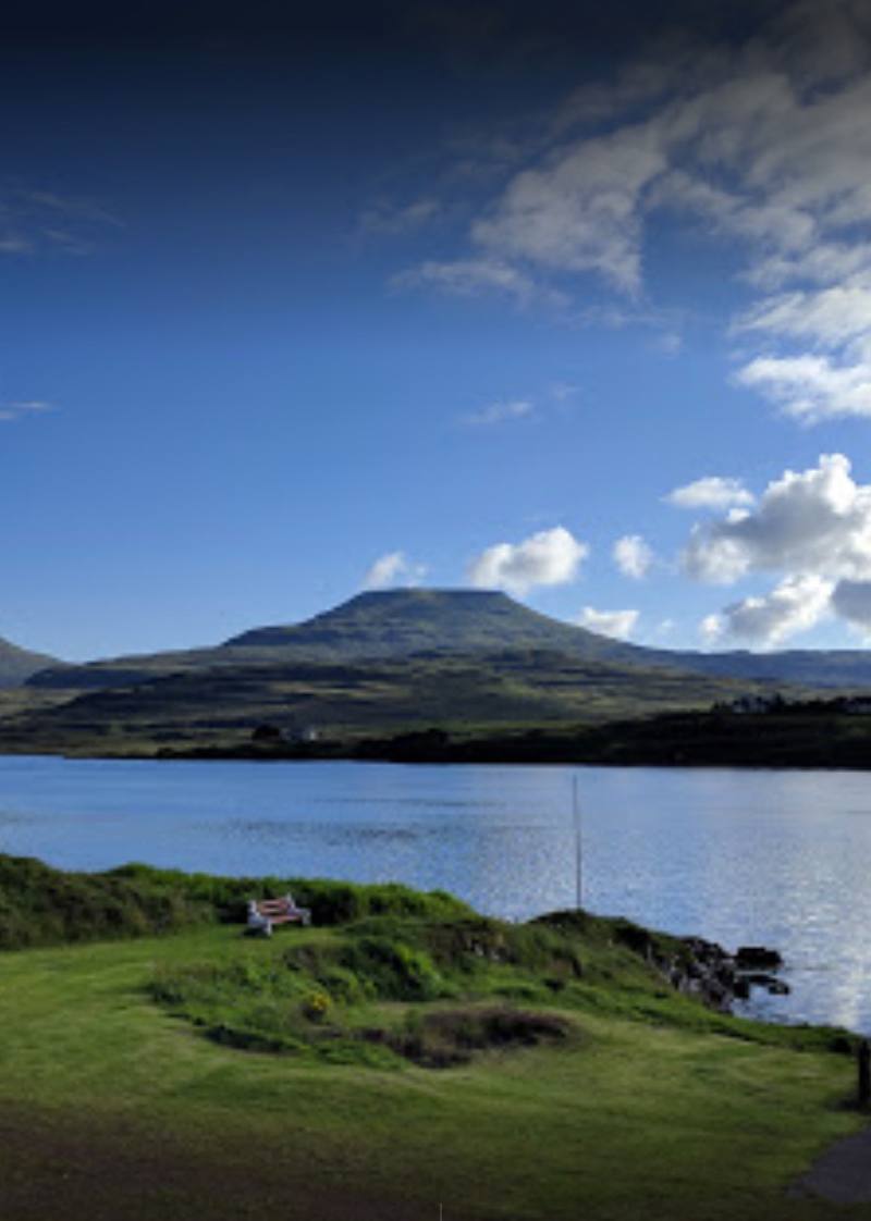
- Views back to Preshal Mòr
What to look for
Look for the pointed sea stack offshore, the waterfall descending the northern cliffs, and Talisker House, which the route passes on the way to the bay.
The story
Talisker House and the Hebridean journey of Dr Johnson and James Boswell
Best time to go
Can be visited year-round; choose a clear, settled spell for the best chance of enjoying the bay and its views.
The guide describes the bay as especially magical on a fine evening. Visit around low tide to see more of the sand and shingle.
How long to spend
1–2 hours
Perfect for
Walkers · Photographers · Families
Route at a glance
Duration
1–2 hours
Terrain
Coastal, Remote countryside
Parking / start
Parking is limited near the road end. Park carefully without blocking turning areas or passing places; check current local advice before setting out.
Before you go
Address
Website
Listed hours
- Monday: Open 24 hours
- Tuesday: Open 24 hours
- Wednesday: Open 24 hours
- Thursday: Open 24 hours
- Friday: Open 24 hours
- Saturday: Open 24 hours
- Sunday: Open 24 hours
Check before visiting.
Google rating
Practical information
Opening & access
A short walk from the end of the minor road to Talisker. The route crosses a track by Talisker House and farmland; follow the sign marked “To the bay”. Check current access and parking conditions before travelling.
Check before visiting
Parking
Parking is limited near the road end. Park carefully without blocking turning areas or passing places; check current local advice before setting out.
Check before visiting
Toilets
Check before visiting
Check before visiting
Food & drink
Check before visiting
Check before visiting
Dogs
Livestock may be grazing; keep dogs on a lead where sheep are present or signage requires it.
Accessibility
The source row reports that the car park and entrance are not wheelchair accessible. The route is described as an easy short walk, but surface and accessibility needs should be checked before visiting.
Check before visiting
Cost
Check before visiting
Check before visiting
Water
Sea
Gallery
Place photographs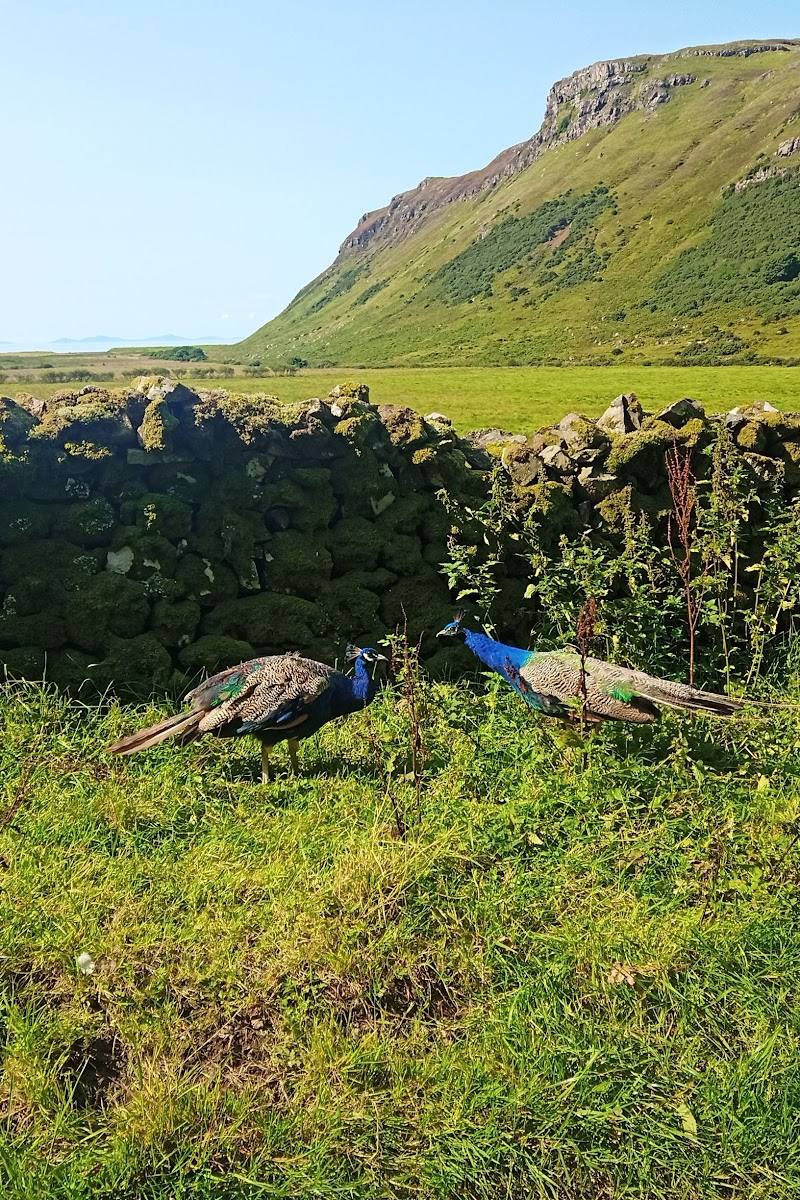
Keep exploring
Around Talisker Bay Beach
Within 50 km · approximate straight-line distances