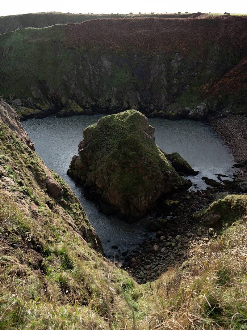
Neist Point, near Glendale, Isle of Skye IV55 8WU
Neist Point Lighthouse Walk
route · Coastal walk
Place photograph
8.5
Wildland
1–2 hours
Time
Check
Cost
Dramatic
Feel
Why it's Wildland
8.5At Skye’s western edge, a steep path descends to the lighthouse at Neist Point, where the island’s exposed cliffs meet the Atlantic.
This is a genuinely memorable coastal walk: a steep descent brings you close to a lighthouse on Skye’s western tip, with cliff views that change dramatically with the weather. It rewards a slow visit, but the exposed route demands care in wind or poor visibility.
Dramatic · Wild · Atmospheric
Find your way
Open mapNeist Point, near Glendale, Isle of Skye IV55 8WU
Opening map…
Know this place a little better?
The experience
Allow time for the steep descent and return climb, pauses for the cliff views, and a look at the lighthouse from outside. The tower is reported as not open to the public. Do not set out in strong winds or mist.
Things to do
Walk the lighthouse path
Follow the steep concrete path from the end-of-road car park towards the lighthouse, then return by the same route.
About 45 minutes without stops; allow longer for views and the return climb.
Pause for the cliff and sea views
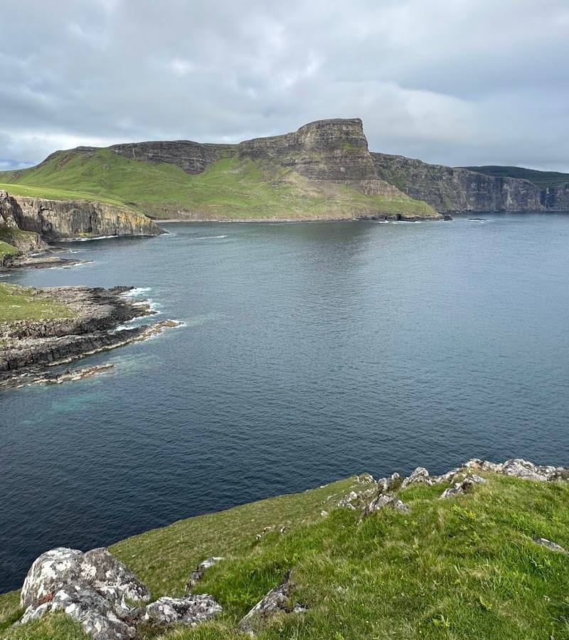
Take time on the path to look back across the high cliffs and out to sea. Visibility varies with the weather.
View the lighthouse from outside
The lighthouse is the walk’s focal point, but the supplied source describes the tower as not open to the public.
Make a day of it
Quick escape · About 1–2 hours, allowing time for stops; the walk itself is reported as 45 minutes without stops.
Quick Escape: the lighthouse path
- 01
Start at the car park at the end of the single-track road near Glendale.
- 02
Follow the steep path towards the lighthouse, pausing for views across the cliffs.
- 03
View the lighthouse from outside; it is reported as not open to the public.
- 04
Return by the same route, allowing extra time for the steep climb.
Half day · Half day
Make a half day of it: take your time at the point
- 01
Check weather and visibility before driving to Neist Point.
- 02
Walk down to the lighthouse at an unhurried pace, stopping for the coastal views.
- 03
Allow time to explore the viewpoint area before returning uphill.
- 04
Arrange food or other stops separately; destination facilities and nearby options are not verified here.
Verified history
The supplied sources report that Neist Point Lighthouse was built in 1909 and first lit on 1 November that year. Its original Gaelic name, Rubha na h-Eist, is given as “the point of the horse”; the source says the English name became established as the lighthouse was built and named. The lighthouse was automated in 1990. These historical details are reported by the supplied sources and have not been independently corroborated here.
Hidden details
The older Gaelic name — The supplied visitor guide gives the original Scottish Gaelic name as Rubha na h-Eist, translated there as “the point of the horse”.
A viewpoint before the lighthouse comes into view — The walking guide says the lighthouse is not visible from the start of the car park; it suggests walking back along the cliff to the right of the car park for a view.
When to go
· Choose a clear, calm spell for visibility. Sunset is described as particularly striking, but do not approach exposed cliffs in unsafe conditions.
The supplied sources emphasise changing weather and visibility rather than identifying reliable seasonal wildlife or flower highlights. Conditions on the exposed cliff path matter more than a particular month.
The walk is reported as unsuitable in windy conditions or mist because it passes near high cliffs. Skye weather can change the character of the landscape quickly; check conditions before setting out.
The route
- surface
- Concrete path, steep in places
- distance
- 2.2 km round trip
- duration
- About 45 minutes without stops; allow longer to explore and for the steep return climb.
- difficulty
- Short; average difficulty in the supplied walking guide. The path is steep in places.
- route shape
- Out and back on the same path
- start point
- Car park at the end of the single-track road near Glendale
- parking start
- A small car park is reported at the end of the single-track road; it can fill quickly. The guide also mentions roadside spaces further back. Check current arrangements.
- Neist Point Lighthouse
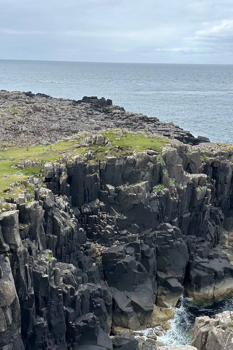
- High coastal cliffs
- Views across the sea
What to look for
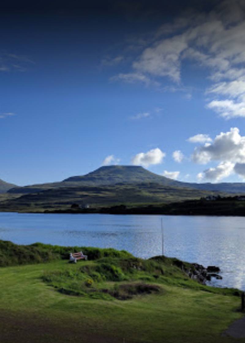
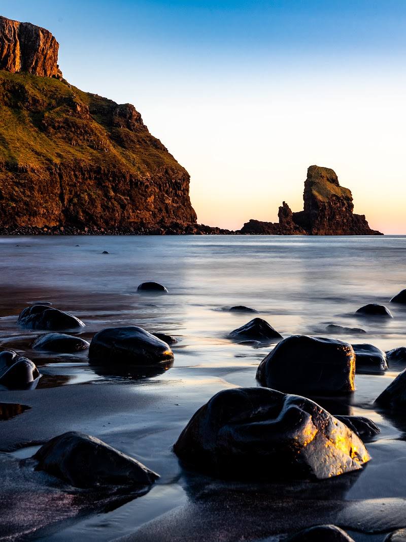
Look for the lighthouse below the cliffs, the changing shapes of the headland and, in clear conditions, views across the sea. The lighthouse itself is not reported as open to visitors.
The story
Lighthouse history; the Gaelic name Rubha na h-Eist
Best time to go
Check conditions before setting out in any season; choose a clear, calm day for the cliff walk.
Choose a clear, calm period for visibility and safer conditions near the cliffs. Sunset is described as especially striking, but only go if conditions and the return walk are safe.
How long to spend
1–2 hours
Perfect for
Walkers · Photographers
Route at a glance
Duration
1–2 hours
Terrain
Coastal, Remote countryside
Parking / start
A small car park is reported at the end of the single-track road; it can fill quickly. Roadside spaces further back are also mentioned. Check current parking arrangements before visiting.
Before you go
Address
Google rating
Practical information
Opening & access
The walk starts at the end of the single-track road near Glendale and follows a steep path towards the lighthouse. Avoid the cliff path in strong winds or mist, and check current access conditions before travelling.
Check before visiting
Parking
A small car park is reported at the end of the single-track road; it can fill quickly. Roadside spaces further back are also mentioned. Check current parking arrangements before visiting.
Check before visiting
Toilets
Check before visiting
Check before visiting
Food & drink
No café is reported at the destination; check nearby options before travelling.
Check before visiting
Dogs
Check before visiting
Check before visiting
Accessibility
The route includes a steep concrete path and is not described as suitable for all weather conditions. Check current conditions and access before visiting.
Check before visiting
Cost
Check before visiting
Check before visiting
Water
Sea
Gallery
Place photographs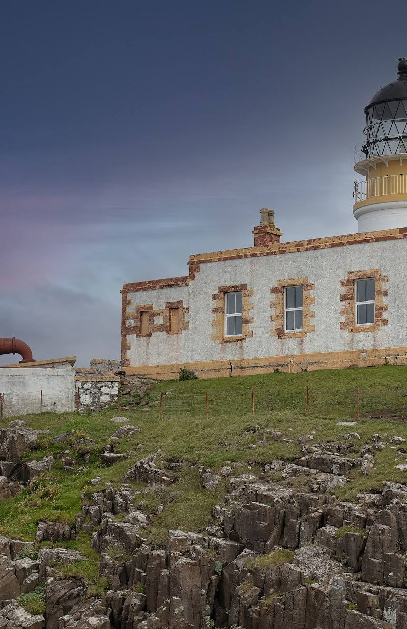
Keep exploring
Around Neist Point Lighthouse Walk
Within 50 km · approximate straight-line distances