Trotternish Ridge, Isle of Skye
Quiraing Walk
route · Countryside walk
Place photograph
9.2
Wildland
Half day
Time
Paid
Cost
Dramatic
Feel
Why it's Wildland
9.2A dramatic circuit through the Quiraing’s moving landslip landscape, threading past the Prison and Needle before returning high above the escarpment.
The Quiraing is more than a famous viewpoint: the full circuit takes you among the cliffs, landslip forms and pinnacles that define this restless ridge. The reward is exceptional scenery, but the rough path, scramble and exposed return make it a serious hill walk rather than a casual stroll.
Dramatic · Wild · Big-sky
Find your way
Open mapTrotternish Ridge, Isle of Skye
Opening map…
Know this place a little better?
The experience
Allow 3–4 hours for the 6.5 km circuit described by Walkhighlands. Expect rough, rocky ground, a minor scramble and an exposed return over the hill. Choose a clear, calm day; turn back if conditions make the route unsafe.
Things to do
Walk the full hill circuit
Complete the 6.5 km loop past the Quiraing’s main rock features and return over the hill above the escarpment. The route is rough and rocky, includes a minor scramble and is exposed to bad weather.
3–4 hours
See the Prison and Needle Rock
On the circuit, look for the Prison, a complex rock formation, and the prominent detached Needle Rock among the landslip features.
Photograph the ridge and gully
Walkhighlands highlights the views along the ridge and a gully with a wind-blasted tree as a photographic feature. The best conditions depend on visibility and weather.
Make a day of it
Quick escape · Short out-and-back; exact duration not specified
Quick escape: the first Quiraing viewpoint
- 01
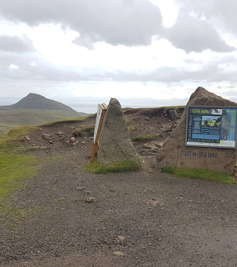
Start from the car park on the minor road between Staffin and Uig.
- 02
Follow the signed path towards Flodigarry for the first section, then return the same way.
- 03
Take in the views towards the Quiraing and the ridge; do not continue onto the full circuit unless prepared for a demanding hill walk.
Half day · 3–4 hours
Make a half day of it: complete the Quiraing circuit
- 01
Begin at the summit car park on the minor road between Staffin and Uig.
- 02
Follow the path across the steep slopes, taking care on rocky ground and at the minor scramble.
- 03
Pass the Prison and the detached Needle Rock, then continue around the circuit.
- 04
Return over the exposed hill above the escarpment to the start.
Verified history
The Quiraing is part of the Trotternish Ridge landslip landscape. The supplied local guide describes it as an ancient, still-active landslip, with movement also affecting the road below. Its cliffs, pinnacles and plateaus are features of that landscape; the supplied sources do not establish a human historical event associated with the walk.
Folklore & legend
A supplied video description recounts a local legend that fairies met at the Quiraing and dragons protected the land from invaders. This is folklore, not verified history.
Hidden details
The wind-blasted tree in the gully — Walkhighlands singles out a gully with a wind-blasted tree as a favourite feature for photographers.
The Prison’s fortress-like outline — The Prison is a complex rock formation whose shape can resemble a fortress from certain angles. Its name describes the form; it is not evidence of a historic prison.
When to go
· Choose a clear, calm period with good visibility; no specific time of day is established by the supplied route sources.
The supplied sources do not establish a best season. Conditions matter more than the calendar: the return is exposed, and mist, wind, rain and muddy ground can make the walk more difficult or unsafe.
Avoid the route in strong winds or mist, particularly near high cliffs. The path can be muddy and slippery; conditions may change rapidly. Check the forecast and current route conditions before setting out.
The route
- ascent
- 374 m
- stiles
- Check before visiting
- surface
- Good path initially, then rough and rocky; muddy ground is reported
- distance
- 6.5 km / 4 miles
- duration
- 3–4 hours
- difficulty
- Demanding hill walk; rough, rocky terrain with a minor scramble and an exposed return
- waymarking
- Starts at a footpath sign to Flodigarry; further waymarking details not specified
- route shape
- Circuit
- start point
- Car park at the summit of the minor road between Staffin and Uig; grid reference NG440679
- parking start
- Walkhighlands reports a chargeable car park at the start. If full, it advises using further space along the road towards Uig and warns not to park on hairpin bends or passing places. Check current arrangements.
- shorter alternative
- Walk the first section from the car park towards Flodigarry and return the same way; the supplied source does not give a distance or duration for this option.
- Views along the Quiraing and Trotternish Ridge
- The Prison rock formation
- Detached Needle Rock
- A return above the escarpment
What to look for
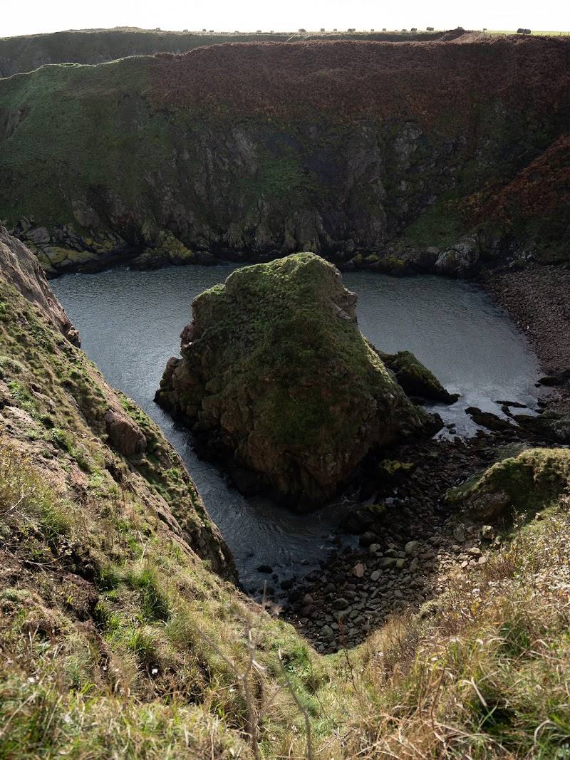
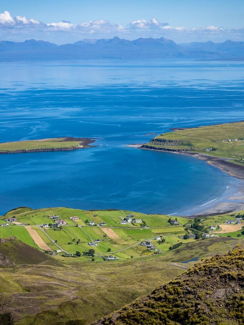
Look for the Prison’s clustered pinnacles, the detached Needle Rock, the landslip cliffs and the changing views across the ridge and towards Staffin Bay.
The story
Geological landscape — an active landslip on the Trotternish Ridge
Best time to go
Check conditions before going; clear, calm weather is important because the route is exposed and visibility can deteriorate.
Choose a clear, calm day with good visibility. The route is exposed to bad weather, and mist or strong wind can make it hazardous.
How long to spend
Half day
Perfect for
Walkers · Photographers
Route at a glance
Duration
Half day
Terrain
Hills, Coastal
Parking / start
Start at the car park on the minor road between Staffin and Uig. Walkhighlands reports that it is chargeable; check current parking arrangements before travelling. Do not park on hairpin bends or passing places.
Before you go
Address
Website
Google rating
Practical information
Opening & access
The route starts at the summit car park on the minor road between Staffin and Uig. The full circuit is a demanding hill walk over rough, exposed ground; check conditions before setting out. No public transport serves the start according to Walkhighlands.
Check before visiting
Parking
Start at the car park on the minor road between Staffin and Uig. Walkhighlands reports that it is chargeable; check current parking arrangements before travelling. Do not park on hairpin bends or passing places.
Check before visiting
Toilets
Check before visiting
Check before visiting
Food & drink
Check before visiting
Check before visiting
Dogs
Check before visiting
Check before visiting
Accessibility
Not wheelchair-accessible. The full route has rough, rocky ground, a minor scramble and exposed sections.
Cost
Paid
Water
Check before visiting
Check before visiting
Gallery
Place photographs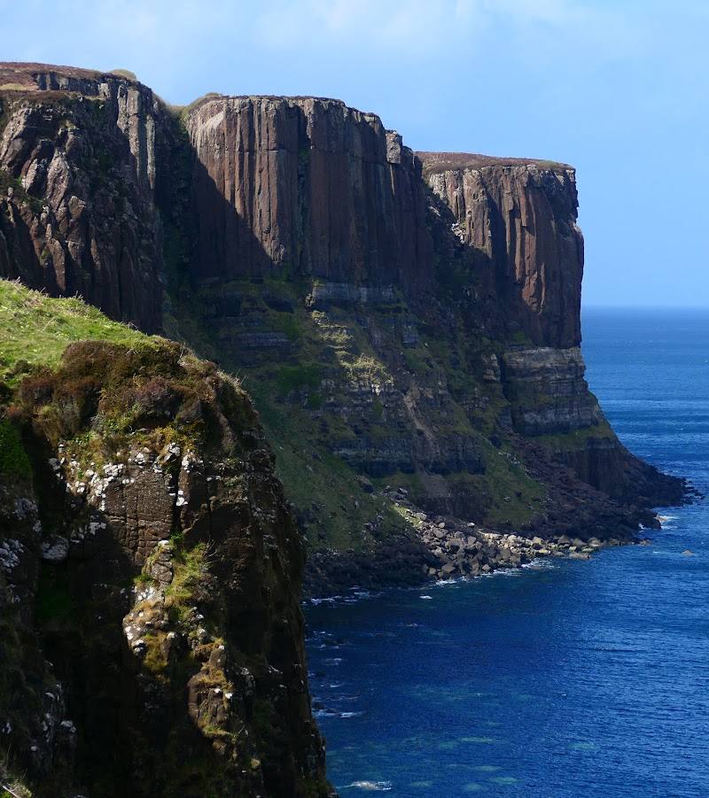
Keep exploring
Around Quiraing Walk
Within 50 km · approximate straight-line distances