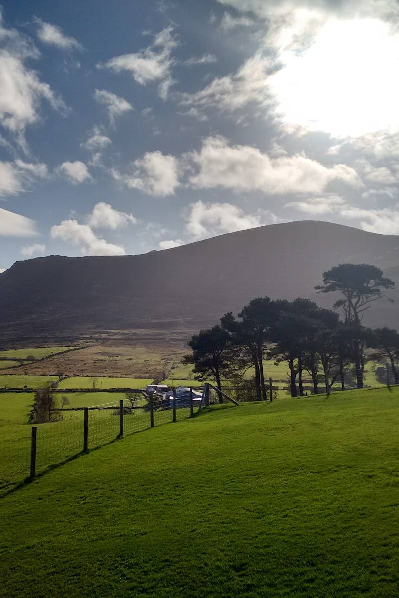
Near Newcastle, County Down, Northern Ireland
Slieve Donard
Viewpoint
Place photograph
7.5
Wildland
Full day
Time
Check
Cost
Dramatic
Feel
Why it's Wildland
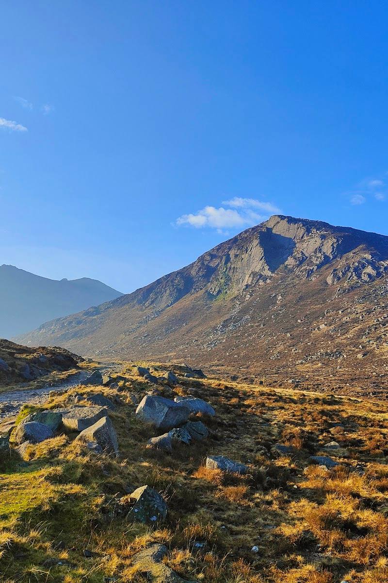
7.5At 850 metres, Slieve Donard is Northern Ireland’s highest mountain. Its summit brings together sweeping coastal views, prehistoric burial monuments and the stone line of the Mourne Wall.
This is a substantial mountain day rather than a quick viewpoint stop: the climb rises from Newcastle into the Mournes, with a river approach, a long stretch beside the Mourne Wall and a summit marked by prehistoric cairns. On a clear day, the reward is a striking meeting of mountain and Irish Sea.
Dramatic · Wild · Big-sky
Find your way
Open mapNear Newcastle, County Down, Northern Ireland
Opening map…
Know this place a little better?
The experience
Allow a full day for the summit hike. The popular approach described in the supplied source starts in Donard Forest, follows the Glen River and climbs alongside the Mourne Wall. The route is demanding, and cloud can hide the views, so check conditions and be prepared for a mountain day.
Things to do
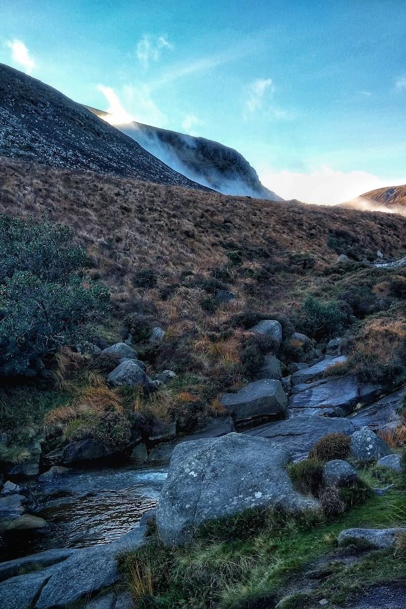
Climb beside the Glen River
Follow the described approach from Donard Forest along the Glen River towards the Mourne Wall. Confirm the route and access arrangements before setting out.
Part of a full-day mountain hike
Reach the Mourne Wall
The popular route described in the source climbs alongside the stone Mourne Wall on its way to the summit.
Explore the summit features
Look for the prehistoric summit cairns and stone tower, and take in the mountain’s elevated coastal setting when visibility allows.
Make a day of it
Quick escape · A full day; allow around five hours for the ascent and return, plus breaks. Conditions and individual pace vary.
The Glen River ascent
- 01
Start from Donard Forest, after confirming current access and where to park.
- 02
Follow the Glen River approach towards the Mourne Wall.
- 03
Continue uphill beside the wall to the summit, turning back if conditions or energy levels make continuing unwise.
- 04
At the top, take in the coastal outlook and look for the summit cairns and stone tower before retracing your route.
Half day · Full day
A mountain morning, then Newcastle
- 01
If useful, begin with breakfast or coffee in Newcastle; the supplied hotel guide lists Railway St. Cafe and Shimna Cafe.
- 02
Set aside the main part of the day for the Glen River and Mourne Wall ascent, checking conditions and access beforehand.
- 03
Return to Newcastle for a meal or a seafront break; the supplied guide describes cafés and restaurants in town.
Verified history
Slieve Donard’s summit has prehistoric burial cairns, including a passage tomb described by the supplied source as the highest known in Britain and Ireland. A stone tower and the Mourne Wall are also summit landmarks. The supplied material does not provide further dates or a detailed account of their construction.
Hidden details
Prehistoric cairns above the coast — The summit is more than a high point: its cairns include a passage tomb identified in the supplied source as the highest known in Britain and Ireland.
The wall on the upper mountain — On the popular ascent, the Mourne Wall accompanies the climb towards the summit and provides a prominent feature in the high mountain landscape.
When to go
· Start early enough to allow a full day for the ascent and return; check the forecast and daylight before leaving.
The supplied sources do not establish a best season. Mountain weather and visibility can affect the summit experience, so check current conditions before setting out.
Mountain conditions can differ from those in Newcastle, and cloud may obscure summit views. Check the mountain forecast and dress for changing conditions.
The route
- surface
- A stone path is described on the steepest sections; other surface details are not confirmed.
- duration
- The supplied source describes a full-day hike; one visitor account reports roughly 2.5 hours each way, which is not a guaranteed walking time.
- difficulty
- Demanding mountain hike
- route shape
- Out and back, returning by the ascent route described
- start point
- Donard Forest is described as the starting point for the popular route; confirm the exact start and current access before setting out.
- parking start
- Check before visiting; parking details are not confirmed by the supplied sources.
- Glen River approach
- Mourne Wall
- Summit cairns and stone tower
- Views towards the coast in clear conditions
Worth pairing with
Newcastle cafés
The supplied local guide lists Railway St. Cafe for coffee and artisan food, and Shimna Cafe for breakfast and baking. Check current opening information before visiting.
Murlough National Nature Reserve
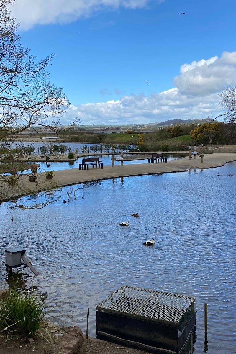
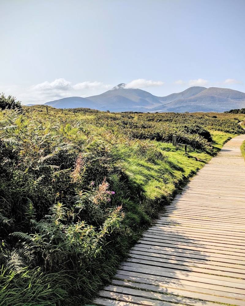
A coastal reserve near Newcastle described in the supplied guide for walking, birdwatching and beach access, with the Mournes as a backdrop. Check access and visit details before travelling.
Tollymore Forest
The supplied local guide describes waymarked forest trails through ancient woodland. A possible separate outing for a different pace, subject to checking current details.
What to look for
- 01
At the summit, look for the prehistoric burial cairns and stone tower
- 02
on the ascent, notice how the Mourne Wall becomes a striking guide through the higher ground.
The story
Prehistoric summit cairns and the Mourne Wall
Best time to go
Check mountain weather and route conditions before travelling; no specific best season is established by the supplied sources.
Choose a day with a suitable mountain forecast and enough daylight for the return journey. Visibility can change, so do not rely on summit views.
How long to spend
Full day
Perfect for
Walkers · Photographers · History lovers
Before you go
Address
Google rating
Practical information
Opening & access
A demanding mountain hike is described from Donard Forest via the Glen River and Mourne Wall. Check current access, conditions and route information before setting out. Access arrangements are unconfirmed. Check before visiting; do not enter private land or restricted structures.
Check before visiting
Parking
Check before visiting; the supplied sources do not confirm parking arrangements.
Check before visiting
Toilets
Check before visiting
Check before visiting
Food & drink
Newcastle has cafés and restaurants; check opening and availability before visiting.
Check before visiting
Dogs
Check before visiting
Check before visiting
Accessibility
The summit route is a strenuous mountain hike, not an accessible short walk. Expect changing mountain conditions; check current route and access information before setting out.
Check before visiting
Cost
Check before visiting
Check before visiting
Water
River
Gallery
Place photographs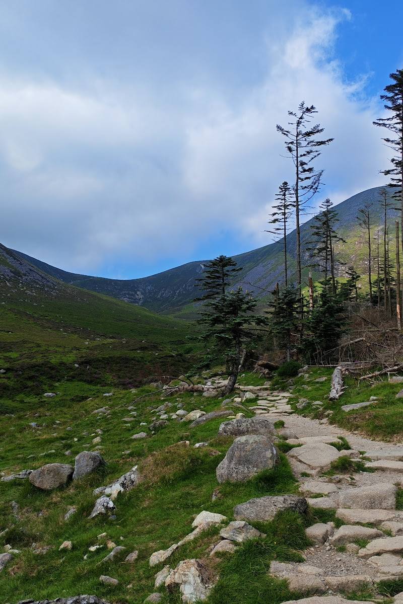
Keep exploring
Around Slieve Donard
Within 50 km · approximate straight-line distances
 Source image7.8
Murlough National Nature Reserve
Keel Point, Dundrum, County Down, BT33 0LW
7.1 km away

 Place photograph8.2
Murlough National Nature Reserve
Near Newcastle, County Down, Northern Ireland
9.2 km away