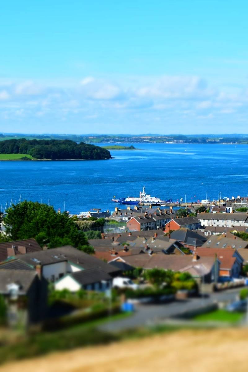
Head Road, Ballymartin, Newry BT34 4PU, County Down, Northern Ireland
Silent Valley Mountain Park
Reservoir
Place photograph
7.4
Wildland
Half day
Time
Check
Cost
Peaceful
Feel
Why it's Wildland
7.4A mountain reservoir landscape where walks lead into the story of the dams and the industrial heritage that shaped the valley.
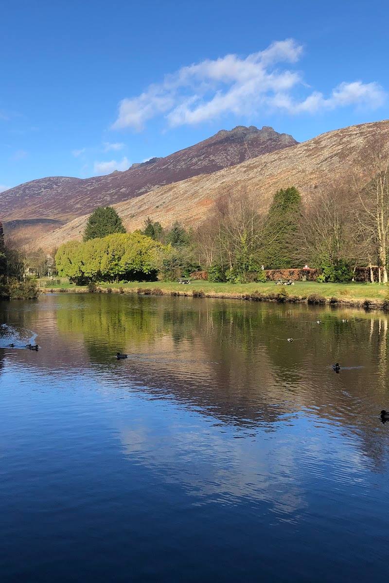
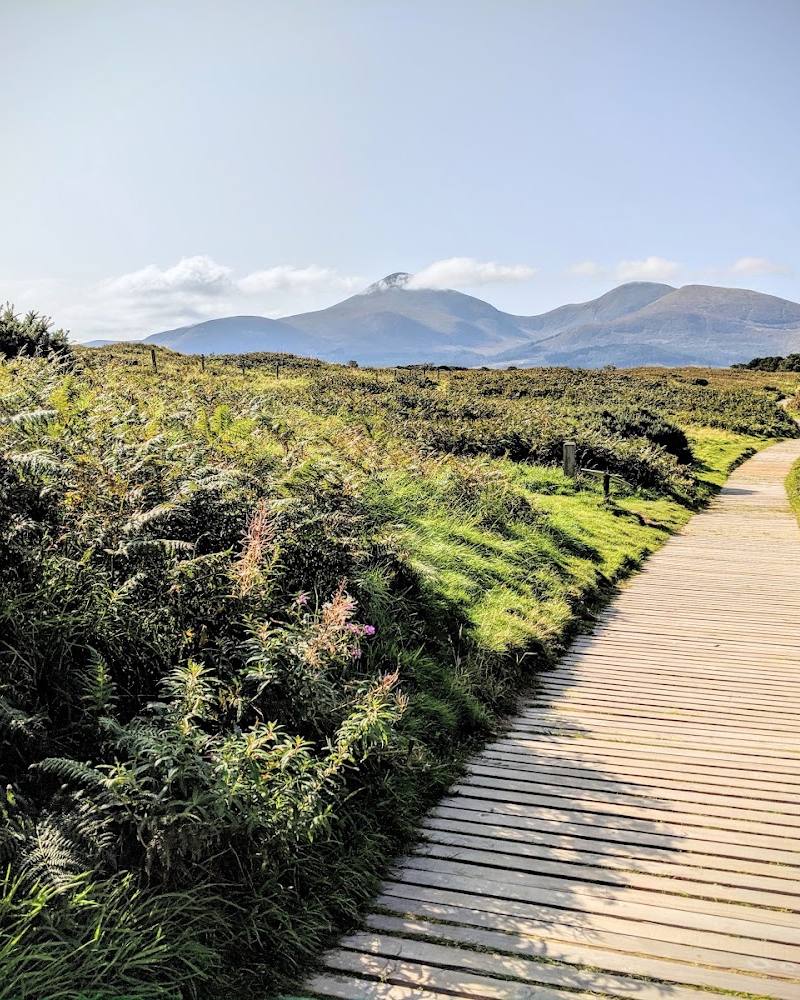
Silent Valley earns its name through the contrast between still reservoir water and the Mourne uplands around it. Its named nature, heritage and mountain trails offer more than a viewpoint, while trail closures and difficulty can vary—check current notices before setting out.
Peaceful · Dramatic · Wild
Find your way
Open mapHead Road, Ballymartin, Newry BT34 4PU, County Down, Northern Ireland
Opening map…
Know this place a little better?
The experience
Choose a short visit around the accessible park facilities and a suitable trail, or allow longer to explore the named nature, heritage and reservoir walks. Confirm trail status and difficulty before setting out.
Things to do
Walk a named Silent Valley trail
Choose from the Nature Trail, Heritage Trail, Reservoir Trail, Mountain Trail or other listed routes after checking current status and difficulty.
Explore the valley’s industrial heritage
Use the heritage trail information to notice how the dams and water infrastructure shaped the valley.
Take in the reservoir and Mourne setting
Pause along an open trail to look across the reservoir towards the surrounding uplands; stay on open routes and obey signs and barriers.
Make a day of it
Quick escape · Under 1 hour
A short valley visit
- 01
Check current opening and trail notices before travelling.
- 02
Use the park facilities and choose a suitable short section of trail.
- 03
Pause to take in the reservoir and surrounding Mourne landscape.
Half day · Half day
Follow the valley’s trail story
- 01
Check which trails are open and their current difficulty grading.
- 02
Choose from the nature, heritage or reservoir trails, allowing time for stops along the way.
- 03
Look for the relationship between the dams, reservoir and surrounding landscape.
- 04
Use the listed cafe or picnic area if open.
Verified history
NI Water describes the dams and their industrial heritage as having shaped the surrounding landscape. The supplied material does not provide construction dates or further historical detail.
Hidden details
A landscape shaped by water infrastructure — Look for how the dams and reservoir relate to the valley’s terrain; NI Water identifies this engineering heritage as a defining part of the landscape.
When to go
· Check current opening arrangements and weather; the supplied sources do not establish an ideal time of day.
No season-specific visitor or wildlife information is established in the supplied sources.
Mountain conditions can affect comfort and trail safety; check the forecast and current trail notices before setting out.
What to look for
- 01
Notice how the dams and reservoir infrastructure sit within the Mourne upland landscape
- 02
the official trail information highlights both the engineering heritage and the valley’s trails.
The story
Industrial heritage: the dams and infrastructure shaped the surrounding landscape.
Best time to go
Check current conditions; the supplied sources do not identify a best season.
Check current opening arrangements and trail notices before travelling; no best time of day is established by the supplied sources.
How long to spend
Half day
Perfect for
Walkers · Photographers · Families · History lovers
Before you go
Address
Phone
Website
Listed hours
- Monday: 10am-6:30pm
- Tuesday: 10am-6:30pm
- Wednesday: 10am-6:30pm
- Thursday: 10am-6:30pm
- Friday: 10am-6:30pm
- Saturday: 10am-6:30pm
- Sunday: 10am-6:30pm
Check before visiting.
Google rating
Practical information
Opening & access
A reservoir-centred mountain park in the Mourne Mountains, with several named trails. Check current opening arrangements, trail conditions and closures before travelling.
Check before visiting
Parking
The official trails page identifies a car park. Check current parking arrangements before visiting.
Check before visiting
Toilets
The official trails map lists toilets; check current availability.
Check before visiting
Food & drink
The official trails map lists a cafe; check opening and availability before visiting.
Check before visiting
Dogs
Check before visiting.
Check before visiting
Accessibility
The source row reports a wheelchair-accessible car park, entrance and seating. Trail accessibility varies; check trail-specific details before setting out.
Check before visiting
Cost
Check before visiting
Check before visiting
Water
Reservoir
Gallery
Place photographs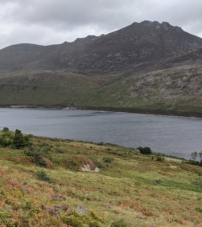
Keep exploring
Around Silent Valley Mountain Park
Within 50 km · approximate straight-line distances
 Place photograph8.1
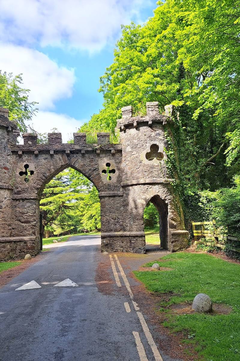
Tollymore Forest Park
Bryansford Road, Newcastle, County Down, Northern Ireland BT33 0PR
12.1 km away
 Source image7.8
Murlough National Nature Reserve
Keel Point, Dundrum, County Down, BT33 0LW
15.5 km away