6.8
Wildland
Half day, Full day
Time
Check
Cost
Dramatic
Feel
Why it's Wildland
6.8Granite peaks rise above valleys and the coast in one of Northern Ireland’s most dramatic upland landscapes. The Mourne Wall—a 22-mile dry-stone wall built between 1904 and 1926—crosses 15 peaks and was constructed to keep livestock away from Silent Valley Reservoir.
The Mournes offer more than a big summit: a wide-ranging mountain landscape of rugged granite, high passes and far-reaching views, threaded by a striking piece of working landscape history. The appeal is in choosing a route that suits the weather and your experience, rather than treating the range as a single walk.
Dramatic · Wild · Big-sky
Find your way
Open mapCounty Down, Northern Ireland
Opening map…
Know this place a little better?
The experience
Choose a specific Mourne route rather than trying to cover the range in one visit. The supplied sources confirm walking and mountain climbing, but do not give a reliable route plan for this listing. Check the trailhead, conditions and difficulty before you go.
Things to do
Walk in the Mourne Mountains
Walking and hiking are established ways to explore the range. Choose a specific route using current local guidance; the supplied sources do not verify one particular circuit or trailhead for this listing.
Look for the Mourne Wall
This 22-mile dry-stone wall crosses 15 peaks. The supplied guide says it was built from 1904 over 18 years to keep livestock away from Silent Valley Reservoir; three peaks have shelter towers associated with the wall.
Make a day of it
Quick escape · 1–2 hours; check the chosen route before setting out.
A first taste of the Mournes
- 01
Choose a short, suitable walking route from current local guidance.
- 02
Walk only as far as conditions, daylight and your experience allow.
- 03
Take time to notice the granite landscape and look for the Mourne Wall where your chosen route encounters it.
Half day · Half day; route duration depends on the selected trail.
Make a half day of a mountain walk
- 01
Select a walking route in the Mournes and confirm its start point, access and difficulty before travelling.
- 02
Walk a section of the mountain landscape, allowing time to pause at the Mourne Wall if the route passes it.
- 03
Finish the walk with a check of local food and drink options; the supplied sources do not verify a particular venue.
Verified history
The Mourne Wall was built between 1904 and 1926. The supplied guide describes it as a 22-mile dry-stone wall crossing 15 peaks, constructed to keep livestock away from Silent Valley Reservoir. Shelter towers are noted on Slieve Donard, Slieve Commedagh and Slieve Meelmore. The same source says granite quarrying was an important local industry, but this listing does not add further dates or claims beyond that account.
Folklore & legend
A travel guide recounts local folklore connecting Slieve Donard’s Great Cairn with an entrance to the Otherworld and the burial of Partholón. These are legends, not verified historical facts; the supplied source does not establish that the cairn is an accessible visitor feature.
Hidden details
Shelter towers along the Mourne Wall — The guide identifies shelter towers on Slieve Donard, Slieve Commedagh and Slieve Meelmore, built in connection with the wall and its construction. Check route access before attempting to visit them.
When to go
· Check the forecast and local conditions; no preferred time of day is confirmed by the supplied sources.
The supplied sources do not identify a reliably best season. Conditions in mountain terrain can affect route suitability, so check current local guidance before setting out.
Check the mountain forecast and conditions before departure. The supplied sources do not provide current safety, weather or trail-condition information.
Worth pairing with
Walking and hiking routes in the Mourne Gullion Strangford area
The official regional tourism site provides a walking and hiking hub to help visitors research a suitable route. Confirm the route’s details and access independently before setting out.
What to look for
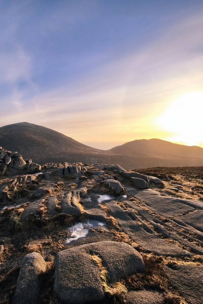
Look for the Mourne Wall as it crosses the high ground: the supplied guide describes it as a 22-mile dry-stone wall passing over 15 peaks, with shelter towers on Slieve Donard, Slieve Commedagh and Slieve Meelmore. Notice the granite terrain and how the wall traces the ridgelines.
The story
Industry; folklore and legend
Best time to go
Check local conditions before travelling; the supplied sources do not establish a best season.
No best time of year or day is confirmed by the supplied sources. Check the forecast and current mountain conditions before setting out.
How long to spend
Half day, Full day
Perfect for
Walkers · Photographers · Groups
Before you go
Address
Google rating
Practical information
Opening & access
A mountain range for walking and climbing, with routes and difficulty varying across the area. The supplied sources do not confirm access rights, trail conditions or a particular starting point; check current local guidance before visiting and do not assume every route or parcel of land is open. Access arrangements are unconfirmed. Check before visiting; do not enter private land or restricted structures.
Check before visiting
Parking
Check before visiting; no specific car park or trailhead is confirmed by the supplied sources.
Check before visiting
Toilets
Check before visiting.
Check before visiting
Food & drink
Check before visiting.
Check before visiting
Dogs
Check before visiting.
Check before visiting
Accessibility
Mountain terrain and walking difficulty vary by route. The supplied sources do not establish accessible paths or facilities; check route and access details before setting out.
Check before visiting
Cost
Check before visiting
Check before visiting
Water
Check before visiting; no visitor water activity or permission is established by the supplied sources.
Check before visiting
Gallery
Place photographs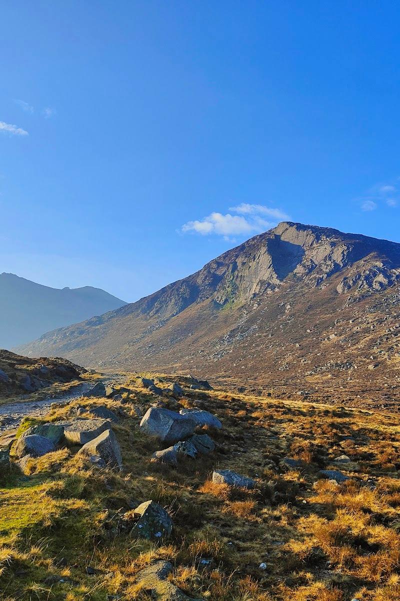
Keep exploring
Around Mourne Mountains
Within 50 km · approximate straight-line distances

 Place photograph8.1
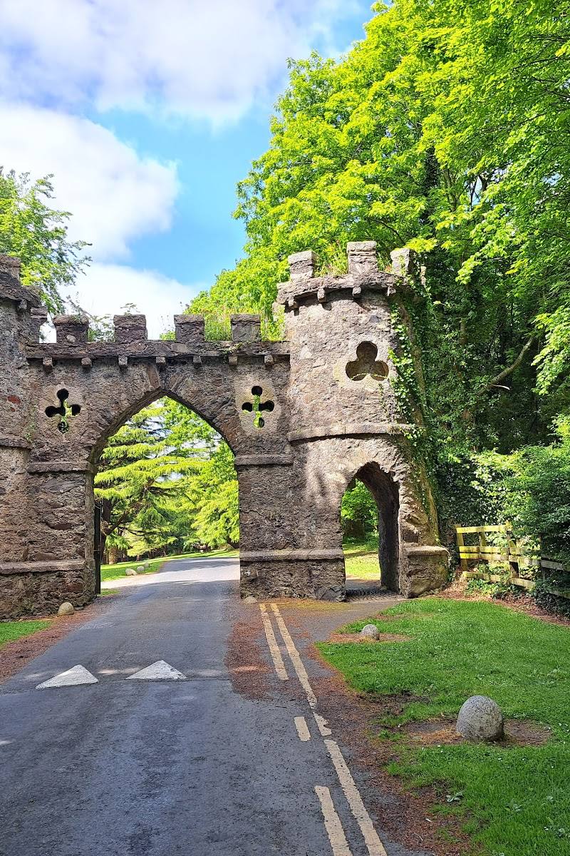
Tollymore Forest Park
Bryansford Road, Newcastle, County Down, Northern Ireland BT33 0PR
11.4 km away
 Source image7.8
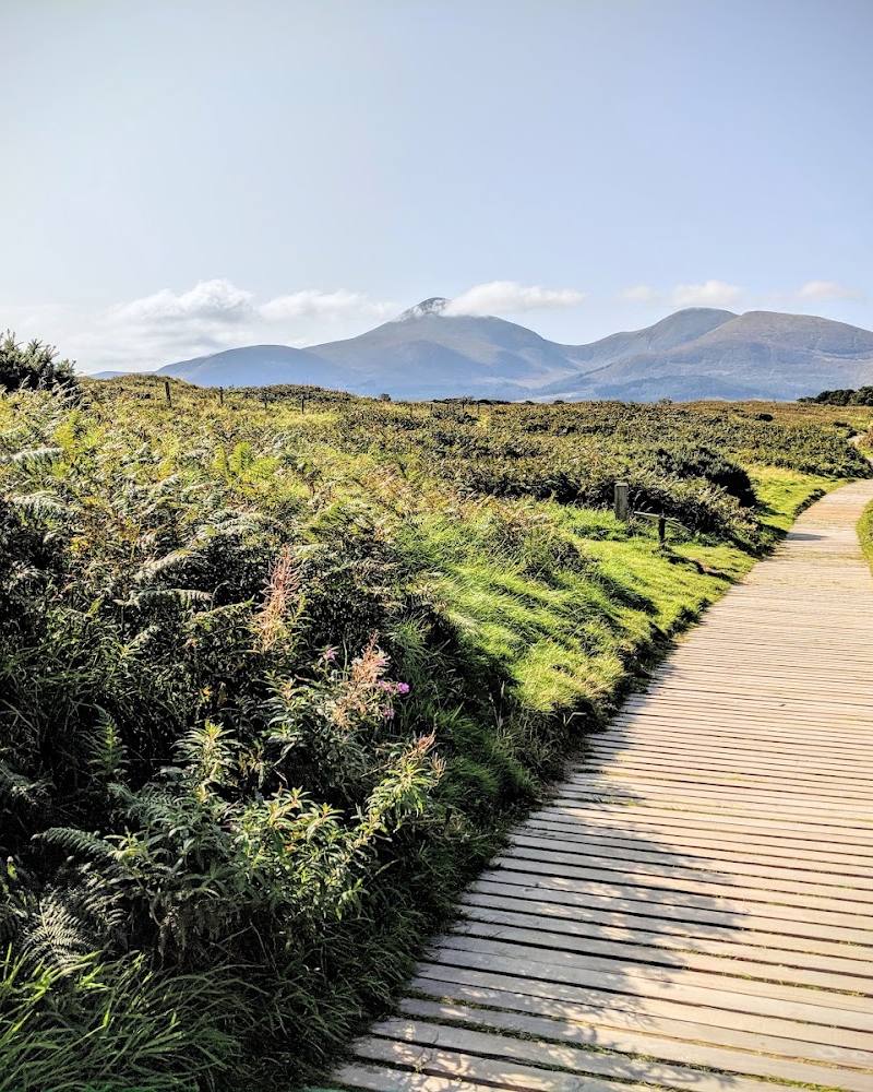
Murlough National Nature Reserve
Keel Point, Dundrum, County Down, BT33 0LW
16.0 km away
 Place photograph8.2
Murlough National Nature Reserve
Near Newcastle, County Down, Northern Ireland
17.8 km away