Off the A855 on the Trotternish peninsula, about 13 miles north of Portree, Isle of Skye.
Lealt Falls
Waterside landscape
Place photograph
6.9
Wildland
1–2 hours
Time
Free
Cost
Dramatic
Feel
Why it's Wildland
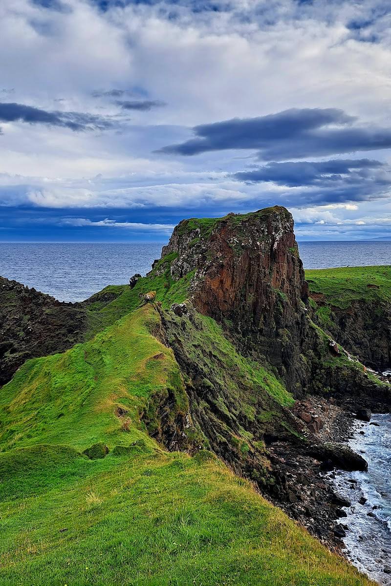
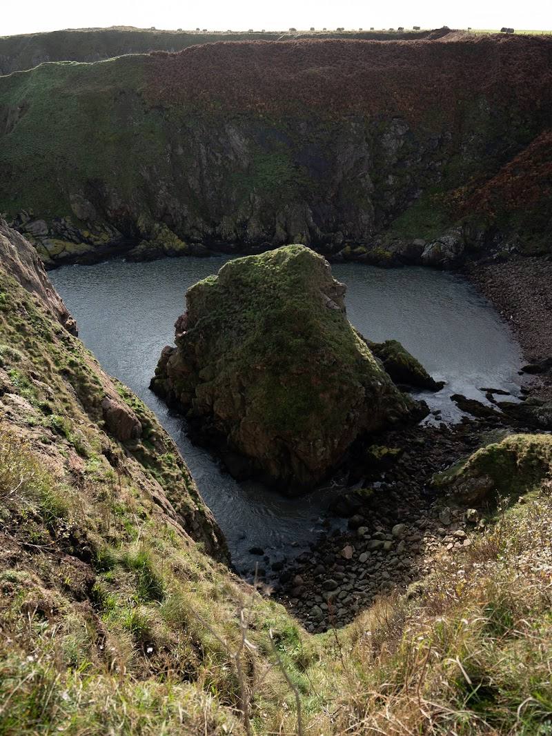
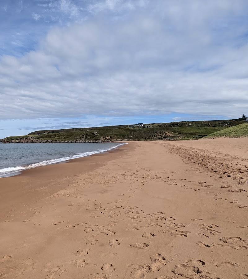
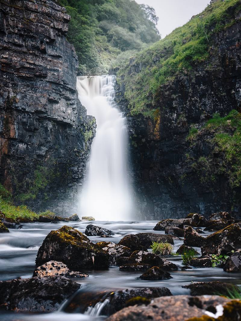
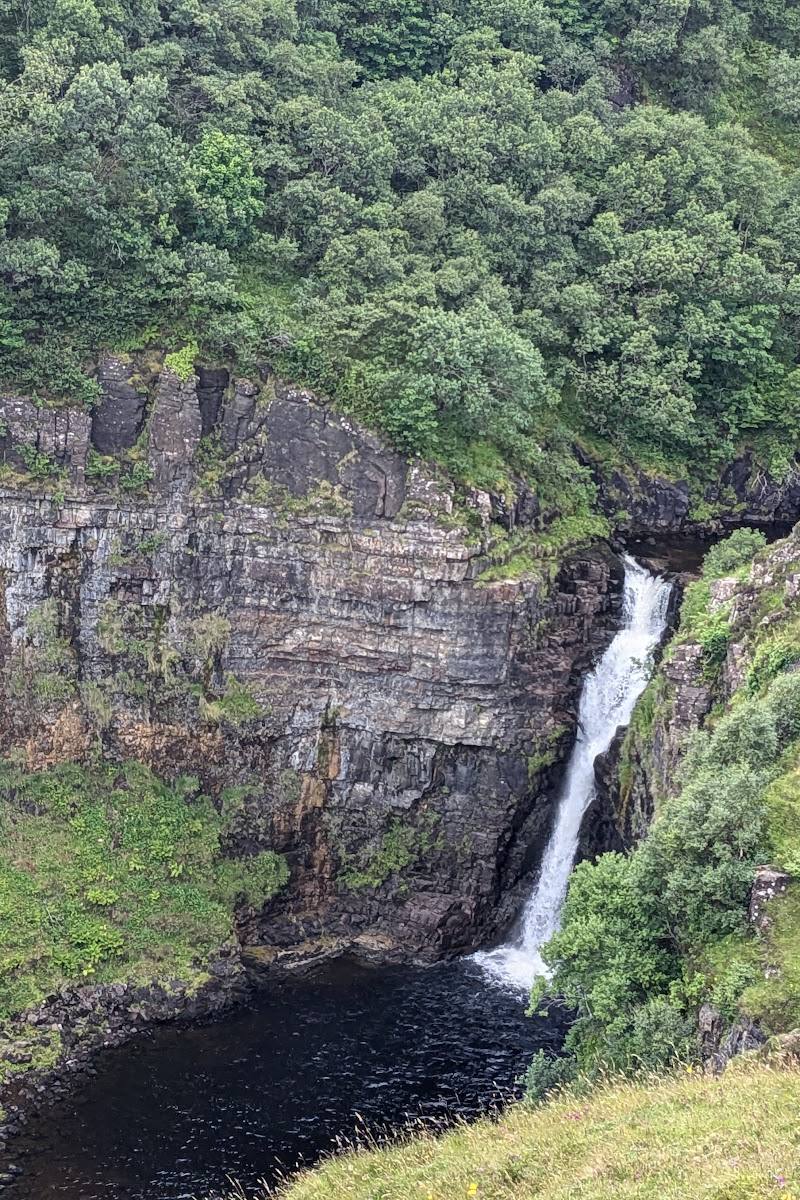
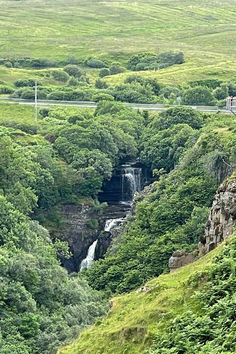
6.9The River Lealt drops through a narrow gorge towards the Sound of Raasay, with views from wooden platforms and a lower route to the shore. Below, traces of Skye’s industrial past remain beside the falls: a late-19th-century diatomite works, salmon smokehouses and the route of a narrow-gauge railway.
Lealt Falls brings together a dramatic gorge, a high waterfall and a rugged shore with unusually tangible traces of the island’s diatomite and salmon industries. The upper platforms offer a rewarding visit without committing to the steep, slippery descent to the lower falls.
Dramatic · Atmospheric · Wild
Find your way
Open mapOff the A855 on the Trotternish peninsula, about 13 miles north of Portree, Isle of Skye.
Opening map…
Know this place a little better?
The experience
See the upper falls from the viewing platforms, take in the gorge and coastal views, and—only if conditions and your footing allow—descend towards the lower falls and historic shore remains.
Things to do
View the gorge from the wooden platforms
Follow the gravel path from the car park to the viewing platform over the gorge, then continue to the upper platform for falls and coastal views.
Short visit
Look for the remains of the diatomite works
Near Invertote Bay, look for remnants of the late-19th-century factory that processed diatomite brought from Loch Cuithir by a narrow-gauge tramway.
Part of a longer visit to the lower shore
Explore the lower falls and shore, if conditions are safe
A steep path descends towards the shore and lower falls. The route may be dangerously slippery when wet, and crossing the river without getting wet may not be possible at high tide.
Allow extra time for the steep descent and return
Make a day of it
Quick escape · About 1–2 hours
Quick escape: the upper falls
- 01
Park at the car park off the A855.
- 02
Follow the gravel path to the first wooden viewing platform for views into the gorge.
- 03
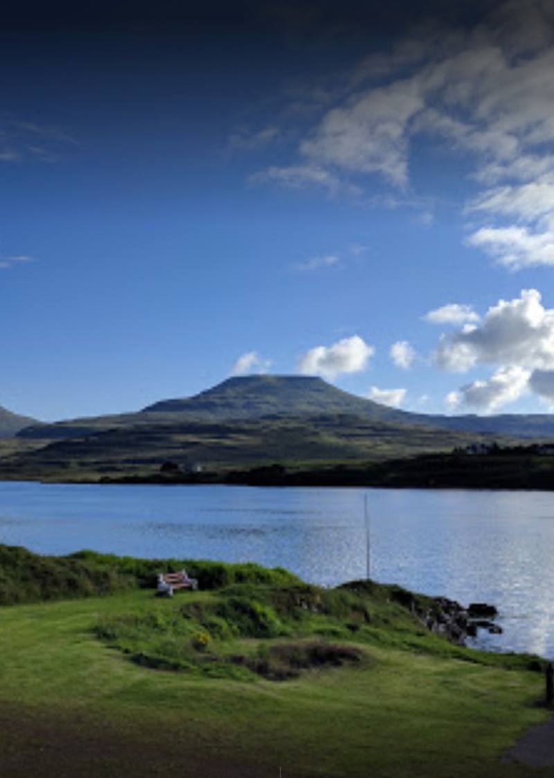
Continue to the upper viewing platform for views towards the Trotternish mountains and across the Sound of Raasay.
- 04
Return the way you came; do not attempt the lower path unless conditions and your footing are suitable.
Half day · Allow a half day, including time for the steep descent and return
Half day: falls, shore and industrial remains
- 01
Start with the upper viewing platforms and look out across the gorge and Sound of Raasay.
- 02
If the path is safe and you are prepared for a steep, potentially slippery route, descend towards Invertote Bay.
- 03
Explore the visible remains of the salmon smokehouses and diatomite works from a safe, publicly accessible route.
- 04
Continue towards the lower falls only if conditions allow; take care at the river, especially around high tide.
- 05
Return by the same steep route and allow time for a stop at the reported food truck, checking whether it is operating.
Verified history
In the late 19th century, diatomite from mines near Loch Cuithir was carried by the Lealt Valley Diatomite Railway, a narrow-gauge tramway built in 1889, to a factory by the shore. The material was processed there, loaded onto skiffs and sent to the mainland by puffer boat. The shore also retains remains of buildings used by salmon fishermen, including old smokehouses.
Hidden details
A trace of the railway to the shore — The remains of the diatomite works connect the waterfall’s shore to the Lealt Valley Diatomite Railway, a narrow-gauge tramway built in 1889 to bring material from Loch Cuithir.
Old salmon smokehouses — The lower shore contains remains of buildings once used by salmon fishermen, including smokehouses. Keep to safe, accessible routes around the ruins.
When to go
May · June · July · August · September · Choose a clear, settled time for coastal and mountain views; avoid the steep lower route during or after wet weather.
The main viewing platforms are described as reachable by a short gravel path. The lower route is steep and can be dangerously slippery when wet, so drier conditions are preferable for exploring the shore.
Skye weather can change quickly. The lower path can be dangerously slippery when wet; river crossing may require getting wet at high tide. Check conditions before visiting and do not descend if the route is unsafe.
Worth pairing with
Kilt Rock and Mealt Falls
A nearby coastal viewpoint and waterfall pairing on the Trotternish peninsula, mentioned alongside Lealt Falls in the supplied itinerary source.
Old Man of Storr
A major Trotternish landscape stop named in the supplied Isle of Skye itinerary. It is a separate outing rather than an add-on to the short falls visit.
What to look for
Look for the remains of the diatomite factory and salmon smokehouses near Invertote Bay, and consider how the narrow-gauge railway once carried diatomite from Loch Cuithir to the shore.
The story
Industry, Maritime
Best time to go
Late spring to early autumn for easier conditions on the steep lower path; the upper viewpoint can be visited in other seasons, subject to weather and access conditions.
Choose a clear, settled spell for coastal and mountain views. Avoid the steep lower path in wet conditions, when it can become dangerously slippery.
How long to spend
1–2 hours
Perfect for
Photographers · Walkers · History lovers
Before you go
Address
Listed hours
- Monday: Open 24 hours
- Tuesday: 12pm-12am
- Wednesday: 12pm-12am
- Thursday: 12pm-12am
- Friday: 12pm-12am
- Saturday: 12pm-12am
- Sunday: 12pm-12am
Check before visiting.
Google rating
Practical information
Opening & access
A short gravel path leads from the car park to a viewing platform over the gorge. Reaching the lower falls and shore involves a steep path that can be dangerously slippery when wet; crossing the river may require getting wet at high tide. Check conditions before setting out.
Check before visiting
Parking
The supplied guide describes an upper car park with space for about 20 cars and no parking charge. Check locally for current conditions.
Check before visiting
Toilets
No toilet facilities are reported in the supplied guide. Check before visiting.
Check before visiting
Food & drink
The supplied guide reports a food truck in the upper car park serving hot food and refreshments. Check before visiting for current availability.
Check before visiting
Dogs
Check before visiting; dog rules are not confirmed by the supplied sources.
Check before visiting
Accessibility
The source row reports a wheelchair-accessible car park. A short gravel path reaches the first viewing area; the steep lower path is unsuitable for people with mobility problems. Check conditions before visiting.
Check before visiting
Cost
Free
Water
River, Waterfall, Sea
Gallery
Place photographsKeep exploring
Around Lealt Falls
Within 50 km · approximate straight-line distances