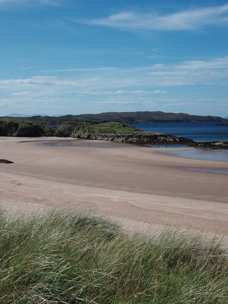
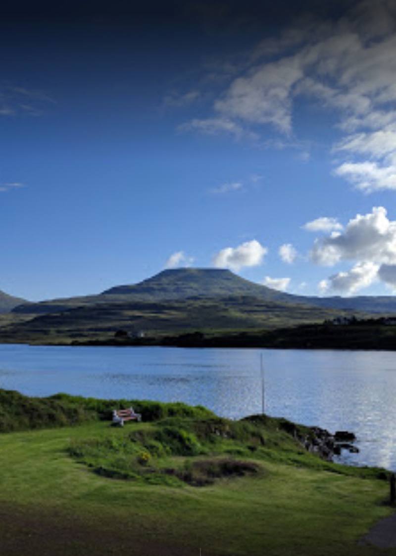
Culnacnoc, on the Trotternish peninsula, Isle of Skye
Rubha nam Brathairean (Brother’s Point)
route · Coastal walk
Place photograph
7.8
Wildland
1–2 hours
Time
Check
Cost
Dramatic
Feel
Why it's Wildland
7.8A narrow headland reaching into the Sound of Raasay, where Skye’s Jurassic coastline meets traces of settlement spanning millennia. Fossils and dinosaur footprints are reported on the foreshore; the route also passes rugged coastal scenery and historic remains.
Brother’s Point earns its place for the way a short coastal walk opens onto a dramatic, exposed promontory with a deep geological story. It is not a casual, all-weather stroll: boggy ground, steep drops and a narrow cliff-top section demand care.
Dramatic · Wild · Secluded
Find your way
Open mapCulnacnoc, on the Trotternish peninsula, Isle of Skye
Opening map…
Know this place a little better?
The experience
Allow around 1–2 hours for the coastal walk to the point and back. Start at the small Culnacnoc car park, cross the A855 to the signed trail near Kilena Cemetery, and take care on boggy ground and the exposed, narrow promontory. Turn back if weather or underfoot conditions make the cliffs unsafe.
Things to do
Walk the coastal trail to Brother’s Point
Follow the route from the Culnacnoc side of the A855 towards the narrow promontory. Expect uneven and boggy sections, steep inclines and exposed cliff-side ground.
About 1–2 hours
Observe the Jurassic foreshore geology
The coastline is described as Jurassic sandstone, with fossil finds and dinosaur footprints reported at low tide. Observe from a safe place and respect conservation measures; do not collect fossils.
Look for traces of former settlement
The headland is described as holding traces of human activity across many periods. Dùn Hasan is reported to show evidence of an ancient settlement and later fortification.
Make a day of it
Quick escape · About 1–2 hours
Quick Escape: walk to the headland
- 01
Park only if there is space in the small car park near Culnacnoc; park sensibly.
- 02
Cross the A855 to the trail entrance by Kilena Cemetery and its information board.
- 03
Follow the coastal route towards the point, taking care on uneven, boggy ground and near steep cliffs.
- 04
Return by the same route; do not continue onto the exposed promontory if conditions are unsafe.
Half day · Half day
Make a half day of the coastal walk
- 01
Allow time for the out-and-back walk and pauses to take in the headland, cliffs and Sound of Raasay.
- 02
At the foreshore, observe the geology from a safe position; fossil-bearing areas are protected, so do not disturb or remove material.
- 03
Consider the nearby abandoned township remains only if you have suitable navigation and can reach them safely; the source describes these as off-track.
- 04
Check weather and ground conditions before setting out, and leave the exposed ridge if conditions deteriorate.
Verified history
Brother’s Point is described as a place with traces of human activity across millennia, including hunter-gatherers, Iron Age settlers, medieval monks, clan chieftains, salmon fishermen and 19th-century crofters. The source also identifies Dùn Hasan near the point as showing traces of an ancient settlement and later fortification. These are source-reported summaries; the supplied material does not provide specific dates or detailed archaeological evidence for each period.
Hidden details
Dùn Hasan — Near the point, Dùn Hasan is described as retaining traces of an ancient settlement and later fortification. The supplied sources do not give a more precise date or identification.
When to go
· Choose a time when weather and visibility are suitable; check local conditions before setting out.
The supplied sources do not establish a best season. Ground conditions and exposure matter, and the promontory can be dangerous in bad weather.
The route includes boggy ground and a narrow trail near steep cliffs. The source warns that the promontory can be dangerous, especially in bad weather. Check the forecast and current local conditions before visiting.
The route
- surface
- Uneven ground, boggy sections and pebbly shore are described; other surface details are not established.
- distance
- 1.5 miles to the point, according to the Isle of Skye guide; the Tripadvisor description characterises the visit as a short coastal walk.
- duration
- 1–2 hours
- difficulty
- Challenging in places: uneven, boggy ground, steep inclines and a narrow exposed trail near cliffs.
- waymarking
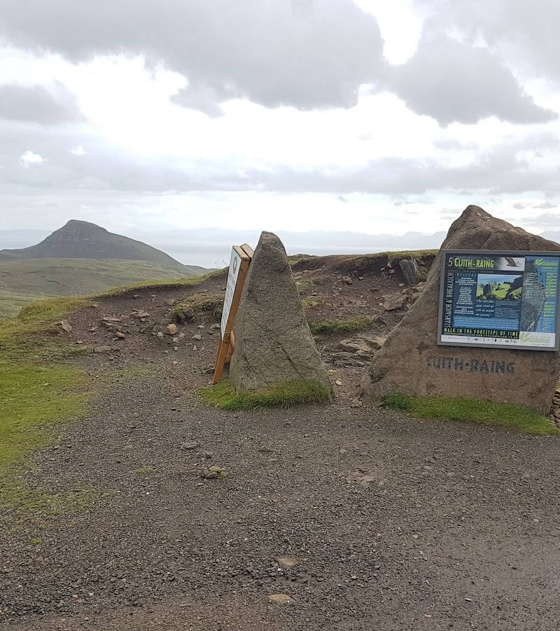
- A wooden signpost and information board are reported at the trail start by Kilena Cemetery.
- route shape
- Out and back
- start point
- Across the A855 from the small car park near Culnacnoc, by Kilena Cemetery.
- parking start
- Small car park near Culnacnoc, north of Glenview B&B; very limited spaces. Park sensibly and check current arrangements.
- shorter alternative
- Turn back before the narrow, exposed promontory if the ground, weather or cliff-edge conditions do not feel safe.
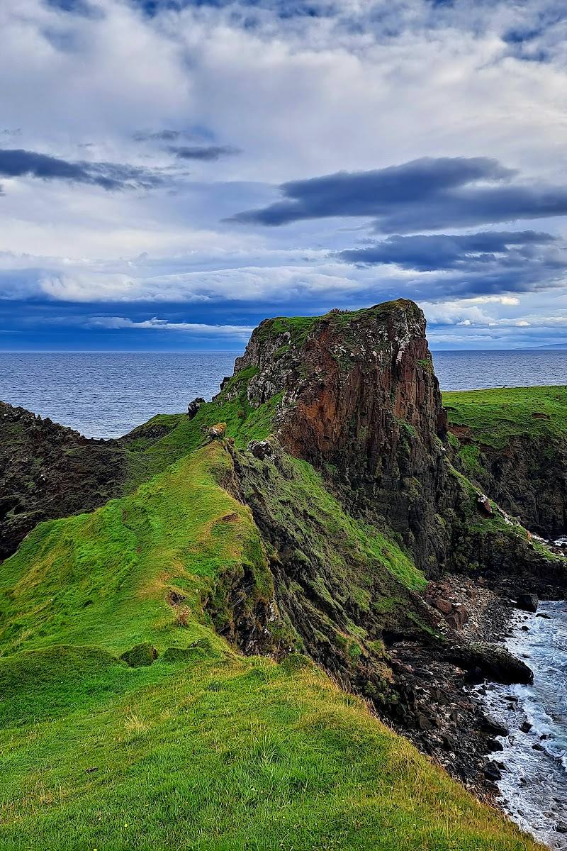
- Narrow grassy promontory above the Sound of Raasay
- Steep coastal cliffs and rock stacks
- Jurassic coastline and reported fossil-bearing foreshore
- Dùn Hasan and traces of settlement and fortification
What to look for
- 01
Look for the changing shape of the grassy headland, cliffs and sea stacks
- 02
the foreshore’s reported Jurassic sandstone and dinosaur footprints
- 03
and traces of historic settlement. Do not leave the route or disturb fossils.
The story
Jurassic fossils and footprints; traces of human settlement across several periods
Best time to go
Check local conditions before visiting; avoid the exposed promontory in bad weather.
Choose a settled, clear day and check weather conditions before setting out; the headland is exposed and the narrow trail can be dangerous in bad weather.
How long to spend
1–2 hours
Perfect for
Walkers · Photographers · History lovers
Route at a glance
Duration
1–2 hours
Terrain
Coastal, Remote countryside
Parking / start
A small car park near Culnacnoc has very limited spaces; park sensibly. Check current parking arrangements before travel.
Before you go
Address
Listed hours
- Monday: Open 24 hours
- Tuesday: Open 24 hours
- Wednesday: Open 24 hours
- Thursday: Open 24 hours
- Friday: Open 24 hours
- Saturday: Open 24 hours
- Sunday: Open 24 hours
Check before visiting.
Google rating
Practical information
Opening & access
The walk starts across the road from the small car park near Culnacnoc. The route crosses uneven, boggy ground and follows a narrow promontory beside steep cliffs; it can be dangerous in bad weather. Check conditions before setting out.
Check before visiting
Parking
A small car park near Culnacnoc has very limited spaces; park sensibly. Check current parking arrangements before travel.
Check before visiting
Toilets
Check before visiting
Check before visiting
Food & drink
Check before visiting
Check before visiting
Dogs
Check before visiting
Check before visiting
Accessibility
Not wheelchair accessible according to the supplied place record. The walk includes uneven and boggy ground, steep inclines and a narrow trail near cliffs; it may be challenging.
Cost
Check before visiting
Check before visiting
Water
Sea
Gallery
Place photographs

Keep exploring
Around Rubha nam Brathairean (Brother’s Point)
Within 50 km · approximate straight-line distances
 Place photograph8.4
Brother’s Point (Rubha nam Brathairean)
Culnacnoc, Trotternish, Isle of Skye
0.1 km away

 Place photograph6.6
Gairloch Beach (Gaineamh Mhòr)
A832, Gairloch, Wester Ross, Scottish Highlands IV21 2BD
30.6 km away