Culnacnoc, Trotternish, Isle of Skye
Brother’s Point (Rubha nam Brathairean)
route · Coastal walk
Place photograph
8.4
Wildland
1–2 hours
Time
Check
Cost
Dramatic
Feel
Why it's Wildland
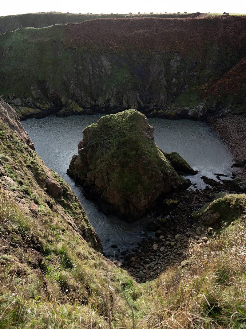
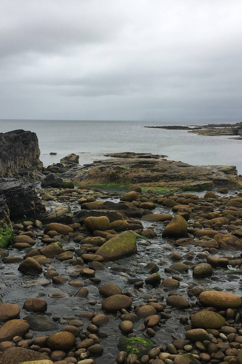
8.4A short but rugged walk from Culnacnoc to Skye’s easternmost Trotternish headland, where a pebble shore, steep sea cliffs and Jurassic coastline lead to the rocky point of Rubha nam Brathairean.
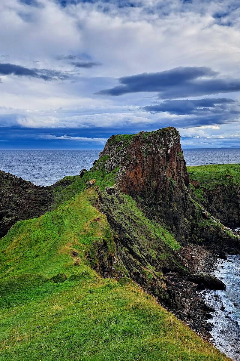
This is a compact walk with a real sense of exposure and discovery: a shore-side approach gives way to boggy ground, steep cliff-edge paths and a headland associated with Jurassic fossils and traces of earlier settlement. Its short distance should not disguise the seriousness of the final terrain.
Dramatic · Wild · Big-sky
Find your way
Open mapCulnacnoc, Trotternish, Isle of Skye
Opening map…
Know this place a little better?
The experience
Allow 1–2 hours for the 3.5 km return walk. Start at the Culnacnoc lay-by, follow the signed path down to the shore, continue past the ruined buildings and make your way across boggy ground towards the headland. The final steep, exposed section is optional: conditions matter, and the route is not suitable for every walker.
Things to do
Follow the signed descent from Culnacnoc
Cross the A855 at the lay-by and follow the signed track downhill towards the shore.
Part of a 1–2 hour return walk
Pass the shore-side ruins
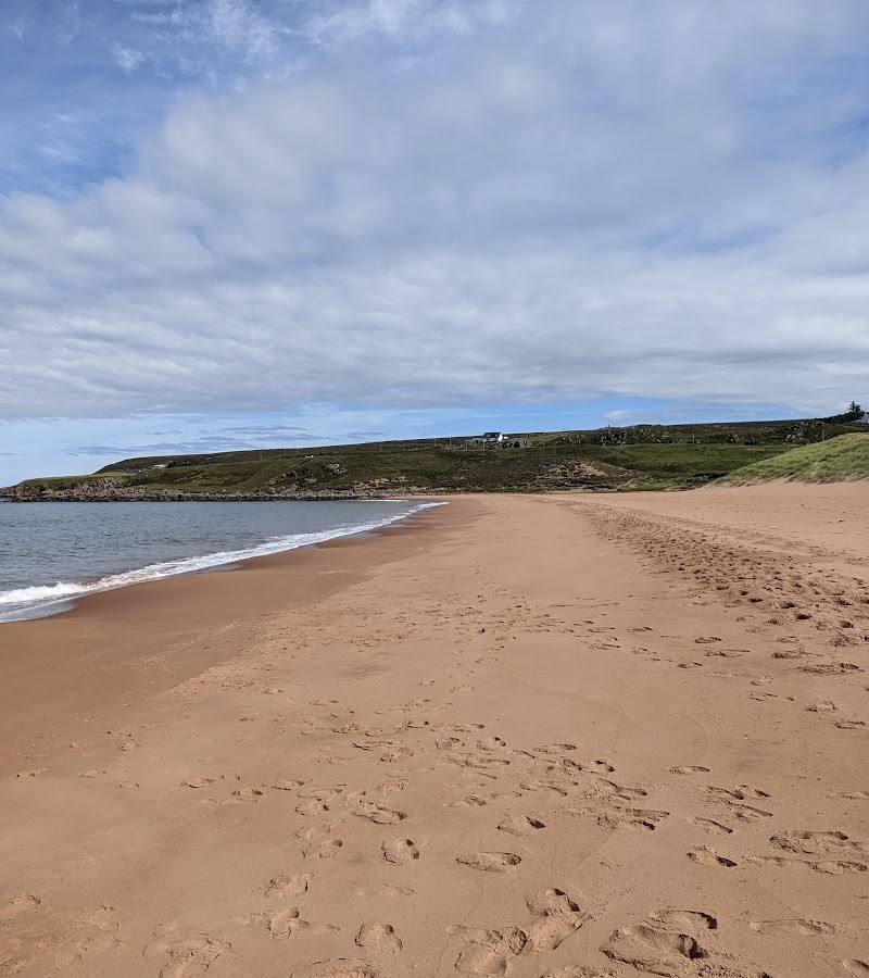
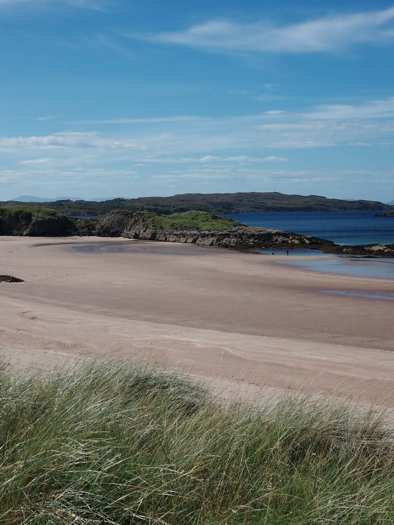
Continue along the pebbly shore past ruined buildings; Walkhighlands identifies one ruin as a former salmon-netting station.
Assess the approach to Dùn Hasan
The route crosses boggy ground and climbs steeply above drops. Dùn Hasan is described by supplied sources as an ancient fort or settlement site; only continue if the ground and weather are suitable.
Take in the Jurassic coastline
The headland is part of Skye’s Jurassic coastline, known in the supplied sources for mid-Jurassic fossils and dinosaur footprints. Do not assume that collecting is permitted.
Make a day of it
Quick escape · About 1 hour; allow longer if conditions are difficult.
Quick Escape: walk to the shore
- 01
Start at the Culnacnoc lay-by and cross the A855 to the signed path.
- 02
Follow the descent towards the shore and explore only as far as conditions and the ground feel safe.
- 03
Return by the same route; do not continue onto the exposed headland unless prepared for steep, boggy terrain.
Half day · 1–2 hours for the walk; allow extra time for stops and changing conditions.
Make a half day of it: follow the route to the point
- 01
Begin at the A855 lay-by at Culnacnoc and follow the signed track downhill.
- 02
Continue to the pebbly shore, passing the ruined buildings and the former salmon-netting station described by Walkhighlands.
- 03
Cross the boggy ground towards Dùn Hasan and assess the steep, exposed path before continuing.
- 04
Return by the same route. If the wind is strong or the ground is slippery, stop short of the tip.
Verified history
The supplied Isle of Skye guide describes traces of human presence on the peninsula, including remains associated with earlier settlement and fortification at Dùn Hasan, and ruined post-medieval townships in the wider area. Walkhighlands identifies a ruined building on the route as a former salmon-netting station. The guide also places the headland within a Jurassic landscape noted for mid-Jurassic fossils and dinosaur footprints. The sources do not provide dates for the visible remains or establish the precise history of each ruin.
Folklore & legend
No specific folklore or legend is established by the supplied sources. One source says the headland was once thought to have been home to a monastic community, but presents this as a belief rather than verified history.
Hidden details
A former salmon-netting station — Walkhighlands identifies one of the ruins beside the shore as a former salmon-netting station.
Ruins along the headland route — The route passes ruined buildings by the shore; the Isle of Skye guide also describes traces of abandoned post-medieval townships in the nearby area.
Fossils and dinosaur footprints — The headland is noted for mid-Jurassic fossils and dinosaur footprints. The supplied information does not specify safe viewing locations or establish permission to collect fossils.
When to go
· Choose a time when conditions are calm and visibility is good; no particular time of day is established by the supplied sources.
The route’s exposed, steep final section and boggy ground make current weather and ground conditions more important than a claimed seasonal peak. Avoid continuing onto the point when it is windy or slippery.
The exposed path above steep drops can be dangerous in bad weather. The final section may be slippery; boggy ground is also reported. Check local conditions before setting out and turn back if unsure.
The route
- ascent
- 238 m
- surface
- Path to the shore, pebbly beach and boggy grass; steep path above exposed drops.
- distance
- 3.5 km / 2.25 miles
- duration
- 1–2 hours
- difficulty
- Moderate; boggy, steep and exposed sections make the final approach challenging.
- waymarking
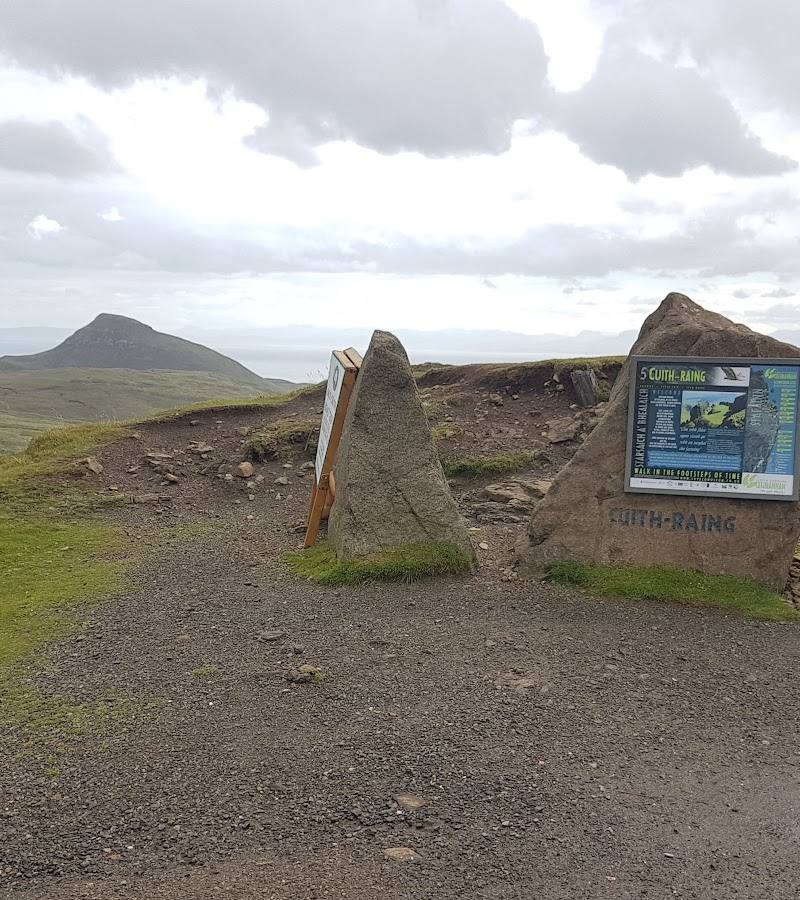
- A wooden sign at the A855 marks the start; a signed track continues downhill.
- route shape
- Out and back
- start point
- Lay-by on the A855 at Culnacnoc, about 40 m north of The Glenview; start grid reference NG516625.
- parking start
- Very limited lay-by parking at Culnacnoc on the A855. Park considerately; check current arrangements.
- shorter alternative
- Walk only as far as the shore and return by the same route; the supplied sources do not give a measured distance for this shorter option.
- Pebbly shore
- Ruined buildings, including a former salmon-netting station identified by Walkhighlands
- Boggy approach and steep path towards Dùn Hasan
- Views from the headland over the Sound of Raasay
- Jurassic coastline associated with fossils and dinosaur footprints
Worth pairing with
The Old Man of Storr
The Isle of Skye guide references the Storr in its site imagery, but the supplied research does not establish a practical itinerary or current conditions for pairing it with this walk. Check travel and access details before planning a combined day.
What to look for
- 01
Look for the ruined buildings beside the route, including the former salmon-netting station described by Walkhighlands
- 02
notice the shift from shore to boggy grass and the steep path towards Dùn Hasan. The coastline is noted for mid-Jurassic fossils and dinosaur footprints, but the supplied sources do not establish where visitors may safely or legally search or collect them.
The story
Archaeology; local sources describe traces of earlier settlement and fortification at Dùn Hasan, and ruined crofts along the route.
Best time to go
Check conditions before setting out; avoid the exposed final section in strong wind, poor weather or slippery conditions.
Choose a calm, dry spell for the exposed section; no more specific seasonal peak is established by the supplied sources.
How long to spend
1–2 hours
Perfect for
Walkers · Photographers · History lovers
Route at a glance
Duration
1–2 hours
Terrain
Coastal, Remote countryside
Parking / start
Very limited lay-by parking at Culnacnoc on the A855, near The Glenview. Park considerately and check current arrangements.
Before you go
Address
Listed hours
- Monday: Open 24 hours
- Tuesday: Open 24 hours
- Wednesday: Open 24 hours
- Thursday: Open 24 hours
- Friday: Open 24 hours
- Saturday: Open 24 hours
- Sunday: Open 24 hours
Check before visiting.
Google rating
Practical information
Opening & access
The walk starts across the A855 from the lay-by at Culnacnoc. The route descends to the shore, then crosses uneven, boggy ground and climbs a steep path above exposed drops. The final approach to the point can be dangerous in poor weather; take care and turn back if conditions are unsuitable.
Parking
Very limited lay-by parking at Culnacnoc on the A855, near The Glenview. Park considerately and check current arrangements.
Check before visiting
Toilets
Check before visiting
Check before visiting
Food & drink
Check before visiting
Check before visiting
Dogs
Check before visiting
Check before visiting
Accessibility
Not wheelchair accessible according to the supplied Google listing. The walk includes uneven and boggy ground, steep inclines and paths beside exposed drops.
Cost
Check before visiting
Check before visiting
Water
Sea
Gallery
Place photographs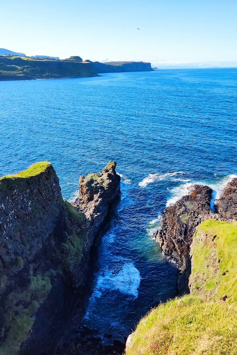
Keep exploring
Around Brother’s Point (Rubha nam Brathairean)
Within 50 km · approximate straight-line distances