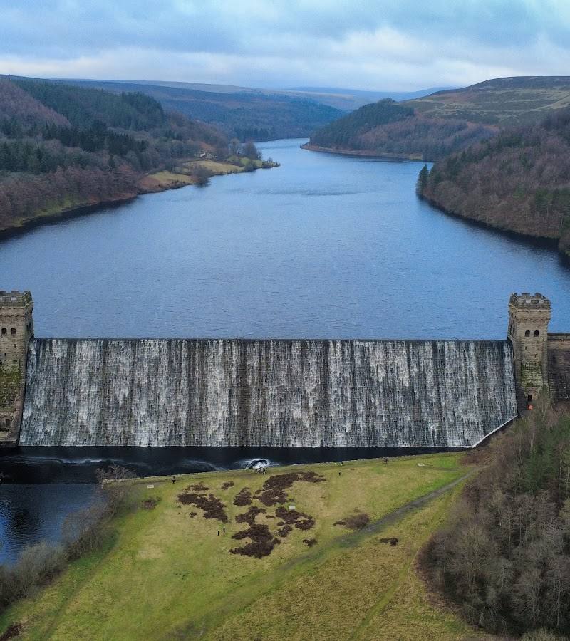
Upper Derwent Valley, Hope Valley, Derbyshire, Peak District
Derwent Reservoir
Reservoir
Place photograph
6.7
Wildland
1–2 hours
Time
Paid
Cost
Peaceful
Feel
Why it's Wildland
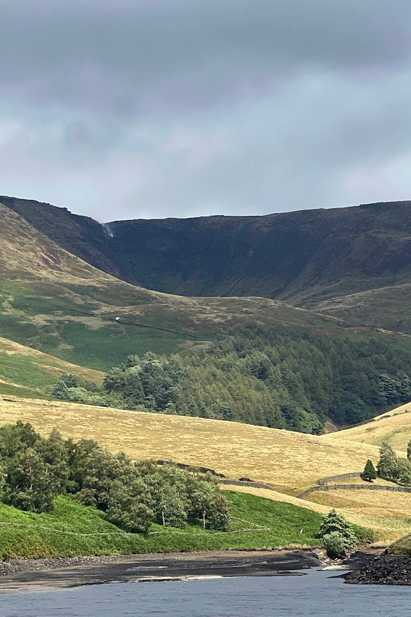
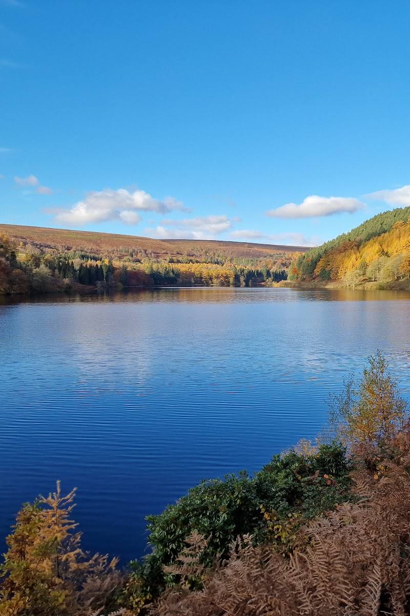
6.7A reservoir landscape framed by the Peak District’s uplands, with dam views and trails leading past the story of a village lost beneath the water.
Derwent earns its place for the way a substantial reservoir sits within the Upper Derwent’s open, upland landscape. Walks link the water and dam with the wider valley, and the Lost Villages Trail adds a tangible human story to the scenery.
Peaceful · Big-sky · Wild
Find your way
Open mapUpper Derwent Valley, Hope Valley, Derbyshire, Peak District
Opening map…
Know this place a little better?
The experience
Come for the reservoir and dam views, then choose a short visit around Fairholmes or a longer walk or cycle on one of the signed valley trails. Swimming and most watersports are not permitted in the reservoirs; the National Park Authority identifies a specific operator for permitted water sports at Ladybower.
Things to do
Walk to Derwent Dam
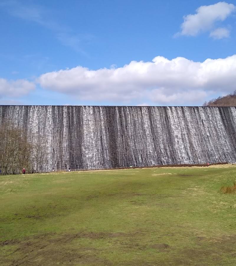
From Fairholmes, follow the signs towards Derwent Dam for a close view of the structure and the surrounding reservoir landscape.
Allow around 1 hour for a short visit; confirm the route on arrival.
Follow the Lost Villages Trail
Take the 5.5-mile trail from Fairholmes, following the yellow-dotted signs. The west half is a footpath, so cyclists must use the road there.
Half day
Cycle or walk farther up the valley
The 10.5-mile Derwent, Howden and Slippery Stones Trail starts at Fairholmes and is listed for walking or cycling. Check the route and conditions before you go.
Full day
Visit the Dambuster memorials
The National Park Authority places the memorials at the west tower of Derwent Dam, about a 10-minute walk from the main car park. It notes an incline on the route.
Around 20 minutes return from the main car park, plus time to visit.
Make a day of it
Quick escape · Around 1 hour
Quick Escape: Dam views at Fairholmes
- 01
Start from the Fairholmes main car park.
- 02
Follow signs towards Derwent Dam and take in the reservoir and dam views.
- 03
Return to Fairholmes; check the route and access conditions before setting out.
Half day · Half day
Make a Half Day of It: The Lost Villages Trail
- 01
Start at Fairholmes and follow the yellow-dotted signs for the 5.5-mile Ladybower and the Lost Villages Trail.
- 02
Explore the valley and reservoir landscape on foot, or cycle where the route permits.
- 03
Note that the west half of the trail is a footpath, so cyclists must use the road there.
- 04
Allow time to pause at the dam and consider the lost settlement associated with the flooded valley.
Full Wildland day · Full day
The Full Wildland Day: Further into the Upper Derwent
- 01
Begin at Fairholmes and follow the orange-dotted signs for the 10.5-mile Derwent, Howden and Slippery Stones Trail.
- 02
Walk or cycle the route, noting that the National Park Authority describes it as a long trail through the valley.
- 03
Check route conditions, daylight and weather in advance; remote and exposed routes in the wider valley require careful preparation.
- 04
Return to Fairholmes and check current kiosk and facility hours before relying on refreshments.
Verified history
Derwent Reservoir was created in a landscape where the village of Derwent was later lost beneath the water. A Peak District visitor guide states that the village was flooded in 1944 for the creation of the dam. The National Park Authority also identifies Dambuster memorials at the west tower of Derwent Dam.
Hidden details
The valley’s lost settlement — The reservoir landscape carries the story of Derwent village, which the supplied Peak District guide says was flooded in 1944 for the reservoir’s creation.
When to go
April · May · June · July · August · September · October · Start early for longer trails, quieter paths and more time to adapt to the weather.
Longer days in spring and summer make the valley’s longer walking and cycling trails easier to plan. The area is described as visitable year-round, but exposed routes and changing weather call for preparation.
The National Park Authority warns that the wider valley includes remote, exposed areas where weather can change quickly and rescue may take several hours. Check the forecast, carry suitable equipment and plan routes in advance.
Worth pairing with
Derwent Overlook
A separate viewpoint and car park in the Upper Derwent area; note that its parking ticket is not interchangeable with tickets for the other valley car parks.
Ladybower Reservoir
The National Park Authority’s Upper Derwent visitor information covers permitted paddle sports at Ladybower through a named operator. Check the operator’s current opening times, launch fees and permitted craft before planning an activity.
What to look for
- 01
Look across the valley to take in the reservoir and dam together. On the Lost Villages Trail, consider the landscape in light of the settlement that was flooded for the reservoir’s creation
- 02
the supplied source dates the flooding to 1944.
The story
Lost village, War & battle
Best time to go
Spring to autumn for longer walks and cycling; the valley can be visited year-round, with conditions and daylight affecting exposed routes.
Choose a clear, settled day for the best views across the water and surrounding hills. Start early if you want to make a longer trail part of the day, and check daylight, weather and route conditions first.
How long to spend
1–2 hours; Half day; Full day
Perfect for
Walkers · Cyclists · Photographers · Wildlife lovers
Before you go
Address
Google rating
Practical information
Opening & access
The Upper Derwent visitor area is reached via Fairholmes. The Peak District National Park Authority describes walks and cycle routes starting at the main car park. Some routes are long or rugged; check current access information and plan ahead. The road north of the Fairholmes roundabout has vehicle restrictions at specified times.
Check before visiting
Parking
Parking is available at Fairholmes and Derwent Overlook. Charges apply; payment methods and ticket validity differ by car park. Check the Peak District National Park Authority’s current parking information before setting off.
Check before visiting
Toilets
Toilets are available at Fairholmes; opening times vary by season and staffing. Check before visiting.
Check before visiting
Food & drink
An independently operated refreshment kiosk is listed at Fairholmes. The National Park Authority gives typical opening hours but notes they may vary; check before visiting.
Check before visiting
Dogs
Check current local guidance before visiting; specific dog rules are not stated in the supplied sources.
Check before visiting
Accessibility
The National Park Authority says wheelchair access reaches to around 100 metres from the base of Derwent Dam, with views available. It also describes the route to the Dambuster memorials as accessible for confident wheelchair users, with an incline. Other paths may be uneven, long or rugged; check route suitability before visiting.
Check before visiting
Cost
Paid
Water
Reservoir
Gallery
Place photographsKeep exploring
Around Derwent Reservoir
Within 50 km · approximate straight-line distances