Kinder Scout, Peak District, Derbyshire
Kinder Downfall
Waterside landscape
Place photograph
6.8
Wildland
Half day, Full day
Time
Check
Cost
Dramatic
Feel
Why it's Wildland
6.8On Kinder Scout’s exposed plateau, the River Kinder reaches the gritstone edge and spills over Kinder Downfall. In windy conditions, the falling water can be blown back upwards; after rain, the cascade is more likely to show its full force.
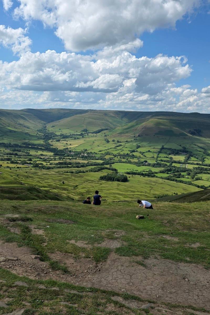
Kinder Downfall combines a dramatic river cascade with the broad, exposed moorland of Kinder Scout. Reaching it involves a proper upland walk rather than a roadside stop, and the plateau’s boggy, hard-to-navigate paths make preparation part of the experience.
Dramatic · Wild · Remote
Find your way
Open mapKinder Scout, Peak District, Derbyshire
Opening map…
Know this place a little better?
The experience
A demanding upland walk to a waterfall on Kinder Scout. The reward is a river cascade set against exposed moorland, with the character of the fall changing according to rainfall and wind. Choose a documented route, allow time for the plateau crossing and be prepared for boggy ground and limited facilities.
Things to do
See Kinder Downfall
Reach the River Kinder’s cascade over the gritstone edge. The flow and the appearance of the fall vary with rainfall and wind.
Walk the Edale circular route
A long circuit linking Kinder Scout and Kinder Downfall with Grindsbrook Clough, Kinder Low, William Clough, Kinder Reservoir and Jacob’s Ladder. The guide describes boggy sections and navigation challenges on the plateau.
7–8 hours
Photograph the cascade and plateau
Use the changing water flow and exposed upland setting as photographic subjects. Take care in poor weather and keep a safe distance from edges.
Make a day of it
Quick escape · Allow several hours; exact time depends on your start point and route.
The waterfall walk
- 01
Choose a documented route to Kinder Downfall and check its distance, conditions and start point before setting out.
- 02
Follow the route across Kinder Scout to the waterfall, allowing for boggy ground and navigation challenges on the plateau.
- 03
Return by your planned route; carry a map and compass and check the weather before departure.
Half day · 7–8 hours for the documented Edale circular route.
Make a full walk of Kinder Scout
- 01
Start in Edale and climb Grindsbrook Clough to Kinder Scout.
- 02
Cross the plateau to Kinder Downfall, then continue towards Kinder Low and the Pennine Way.
- 03
Return to Edale via William Clough, Kinder Reservoir and Jacob’s Ladder, following the route guide and checking conditions before setting out.
Hidden details
The waterfall can appear to flow backwards — In windy conditions, air can blow falling water back upwards over the edge. The effect depends on the weather and is not guaranteed.
When to go
· Choose a time when the forecast gives suitable visibility and conditions for an exposed upland walk; no particular time of day is established by the supplied sources.
Rain can increase the waterfall’s flow, but wet and changeable conditions can also make plateau paths boggy and navigation harder. Check the mountain forecast and route conditions before setting out.
Weather on the exposed plateau can differ from conditions lower down and can change quickly. The supplied route guide advises checking conditions and taking warm clothing and waterproofs as needed; carry a map and compass.
The route
- ascent
- 1,183 m / 3,881 ft
- stiles
- 0, according to the route guide.
- surface
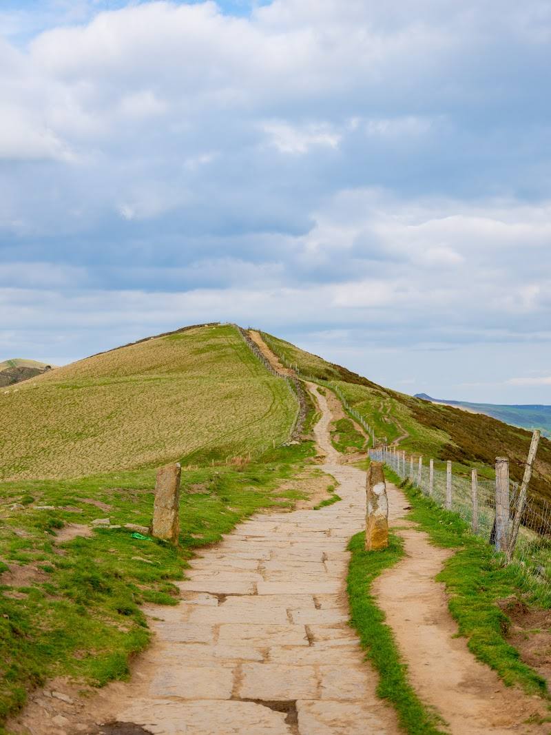
- Mixed paths; plateau sections can be boggy. The route includes a short scramble at Grindsbrook Clough.
- distance
- 15 miles / 24 km for the documented Edale circular route
- duration
- 7–8 hours
- difficulty
- Challenging long upland walk; includes a short scramble and boggy, difficult-to-navigate plateau sections.
- waymarking
- A mix of well-marked paths and less straightforward plateau sections; use a map and compass.
- route shape
- Circular from Edale
- start point
- Edale village car park; the route guide gives grid reference SK 12366 85309.
- parking start
- Edale village car park; check current availability and charges before travelling. The route guide reports a nearby overflow car park when the main one is full.
- Grindsbrook Clough
- Kinder Scout plateau
- Kinder Downfall
- Kinder Low trig point
- William Clough
- Kinder Reservoir
- Jacob’s Ladder
What to look for
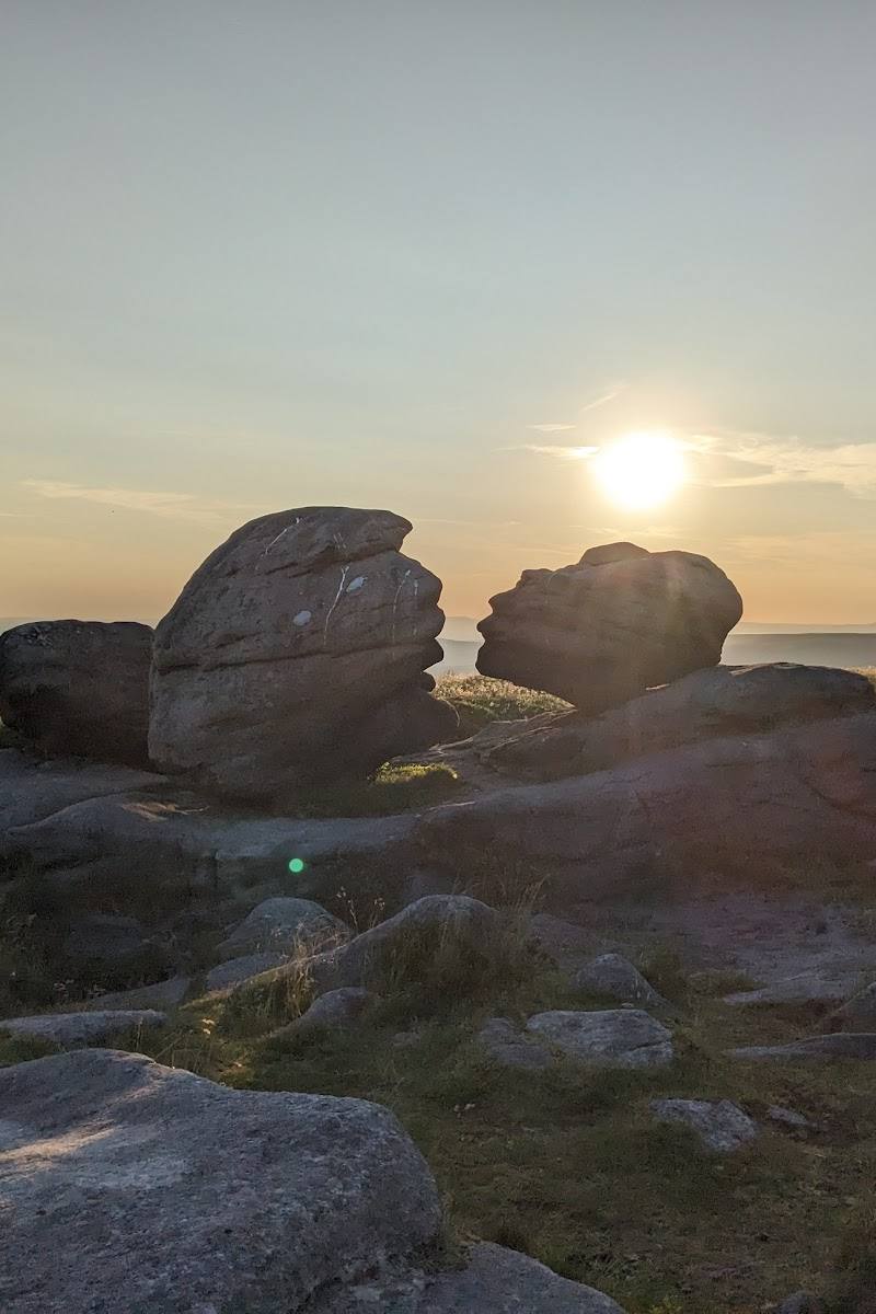
Watch how wind affects the falling water: in suitable conditions it can blow back upwards over the edge. Notice the contrast between the river at the gritstone lip and the open moorland of the plateau. Do not approach hazardous edges or enter the water.
The story
War & battle
Best time to go
After rainfall, when the river is fuller; clear, settled conditions are preferable for walking the exposed plateau.
After rain is a good time to seek a fuller cascade. Go only when the forecast and visibility suit an exposed upland walk; the waterfall’s reverse-flow effect depends on wind direction and strength.
How long to spend
Half day, Full day
Perfect for
Walkers · Photographers · Wildlife lovers
Practical information
Opening & access
A remote upland destination reached on foot by hiking routes across Kinder Scout. The plateau paths can be boggy and difficult to navigate, particularly in poor weather. Carry a map and compass, check mountain conditions and choose a route suited to your experience. Check current access and route conditions before setting out. Access arrangements are unconfirmed. Check before visiting; do not enter private land or restricted structures.
Check before visiting
Parking
Parking and route-start information depend on the chosen approach. An Edale-starting circular route is described by the supplied walking guide; check current parking arrangements before travelling.
Check before visiting
Toilets
No toilets on the trail are reported in the source row. The Edale-starting route guide reports public toilets at Edale car park; check before visiting.
Check before visiting
Food & drink
No café or food facilities at the waterfall. The source row mentions pubs and cafés in Hayfield; the Edale route guide also mentions two village pubs. Check opening details before visiting.
Check before visiting
Dogs
Check current access and dog guidance before visiting.
Check before visiting
Accessibility
Rugged upland paths and boggy sections make this unsuitable for wheelchair users and people with limited mobility, according to the source row. Conditions can change quickly; check before visiting.
Check before visiting
Cost
Check before visiting
Check before visiting
Water
River, Waterfall
Gallery
Place photographsKeep exploring
Around Kinder Downfall
Within 50 km · approximate straight-line distances