8.1
Wildland
1–2 hours for the summit visit
Time
Check
Cost
Dramatic
Feel
Why it's Wildland
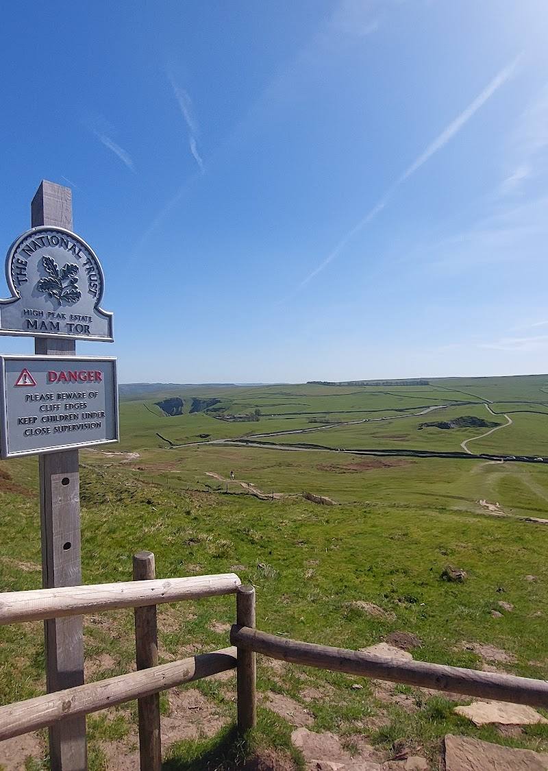
8.1At 517 metres, Mam Tor looks over Hope Valley and the Vale of Edale. Its summit is encircled by a late Bronze Age and early Iron Age hill fort, while landslides on its eastern slopes eventually led to the A625 being closed in 1979.
Mam Tor combines a prominent hilltop panorama with a visible prehistoric enclosure and a landscape still shaped by instability. The Great Ridge makes it more than a quick summit stop, with a longer walk towards Lose Hill for those who want to earn the views.
Dramatic · Big-sky · Wild
Find your way
Open mapHope Valley, Derbyshire
Opening map…
Know this place a little better?
The experience
Choose the short climb from Mam Nick for the summit and its valley outlook, or extend the outing along the Great Ridge. A longer circular option links Mam Tor with Castleton and Cave Dale; check route conditions and navigation before setting out.
Things to do
Climb to Mam Tor summit
Take the stone-pitched path described from Mam Nick to the 517-metre summit and its surrounding hill fort.
Check before visiting
Walk the Great Ridge
Continue along the ridge towards Lose Hill for an extended hill walk with views over Hope Valley and Edale.
Check before visiting
Look for the summit hill fort
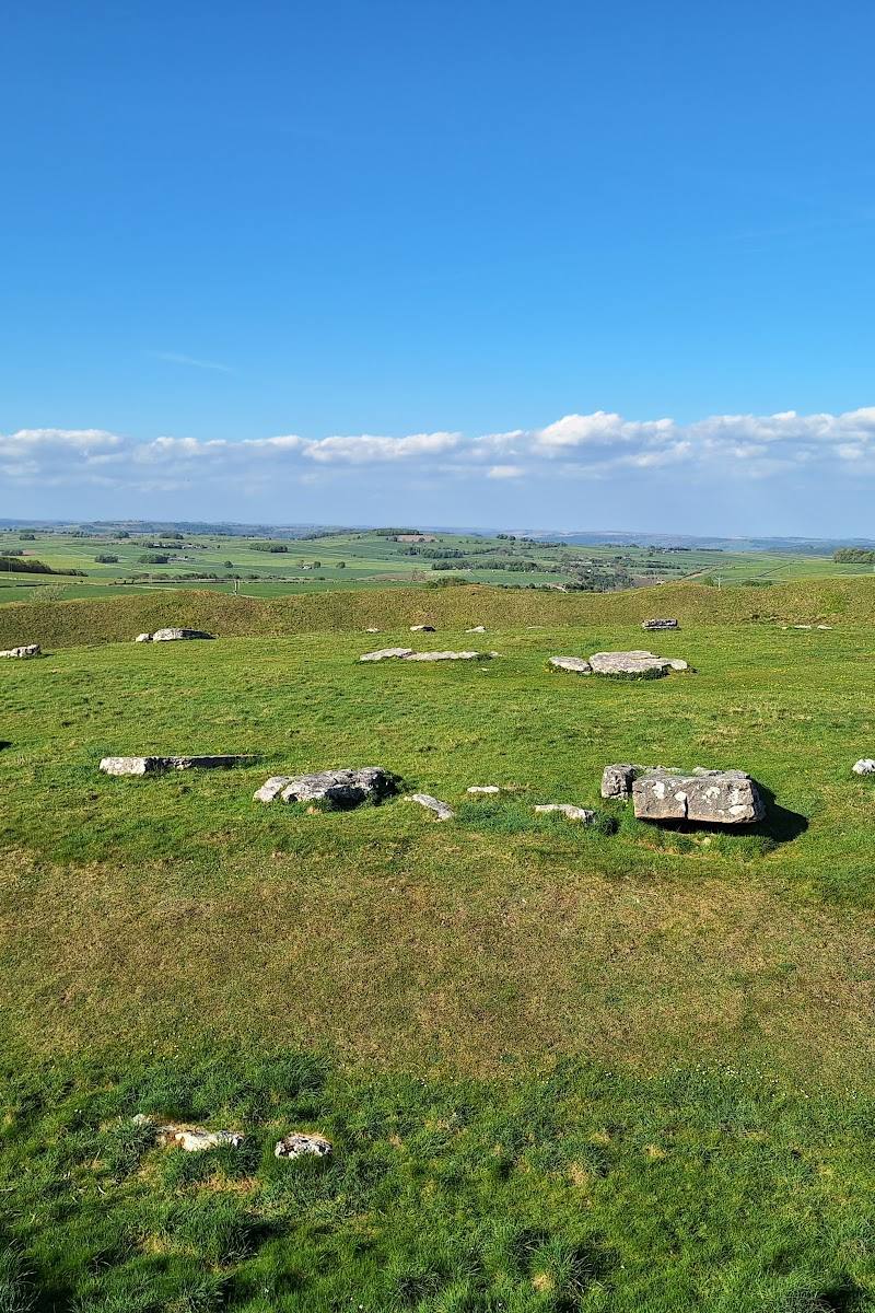
The summit is ringed by a late Bronze Age and early Iron Age univallate hill fort; look for its earthwork enclosure as you explore the top.
Allow time during your summit visit
Take in the valley outlooks
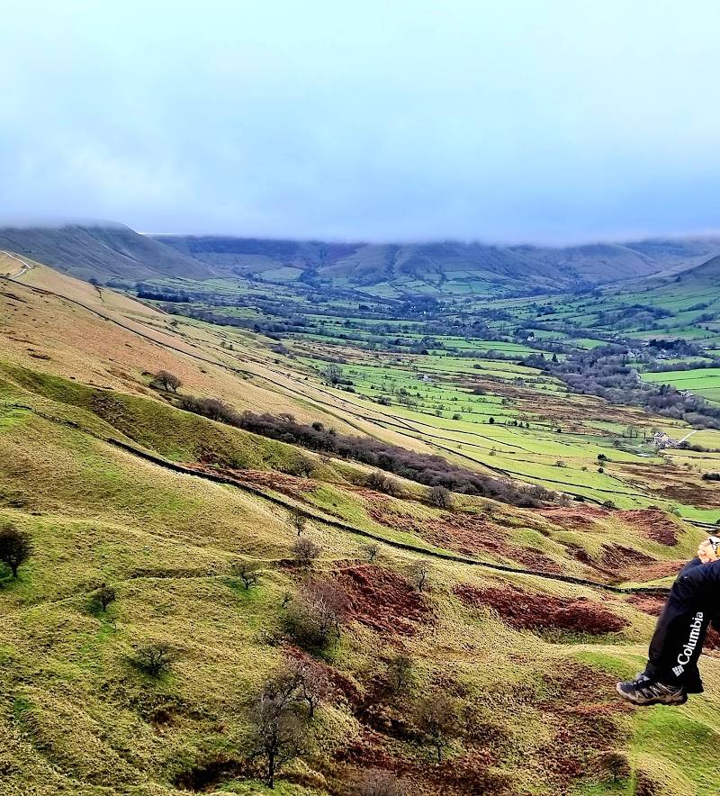
Look across Hope Valley and the Vale of Edale, and towards Kinder Scout from the ridge.
Extend the walk through Castleton and Cave Dale
A supplied route account describes adding Castleton and Cave Dale to a Mam Tor circular. Confirm the route details before relying on this itinerary.
Longer hike; route variant dependent
Make a day of it
Quick escape · Allow 1–2 hours; exact duration is not established in the supplied sources.
Quick Escape: Mam Tor summit
- 01
Start from Mam Nick, identified in the supplied research as the start of a stone-pitched path.
- 02
Follow the path to Mam Tor summit and the hill fort enclosure.
- 03
Pause for views across Hope Valley and the Vale of Edale, then return by your approach route.
Half day · Check route length and conditions before setting out; no duration is established for this option in the supplied sources.
Make a Half Day of It: Follow the Great Ridge
- 01
Reach Mam Tor via the described stone-pitched path from Mam Nick.
- 02
Continue along the Great Ridge towards Lose Hill, turning back or finishing according to your planned route.
- 03
Stop to look across Hope Valley and Edale; check navigation and transport arrangements before choosing a linear walk.
Full Wildland day · A longer hike; the supplied source gives 4 hours 31 minutes for a 12.9 km route, but check that this matches your chosen variant.
Full Wildland Day: Mam Tor, Castleton and Cave Dale
- 01
Plan the Castleton–Mam Tor–Great Ridge circular described in the supplied route source.
- 02
Include Castleton and Cave Dale on the return leg if following the longer circular route.
- 03
Check the route, weather, daylight and transport arrangements before departure.
Verified history
Mam Tor is reported as a 517-metre hill whose summit is enclosed by a late Bronze Age and early Iron Age univallate hill fort. Landslides associated with weak shale affected the eastern slopes and led to the closure of the A625 beneath the hill in 1979. The supplied sources do not provide further detail about the fort or the road closure.
Folklore & legend
A supplied hiking article says the hill was once believed locally to be alive and perhaps grumpy, with its rumbling attributed to that imagined character. Treat this as folklore, not a verified explanation of the landslides.
Hidden details
The hill fort around the summit — The prehistoric enclosure is not just a story about Mam Tor: the supplied source reports that the summit is ringed by its earthworks. Look for the enclosure as you walk around the top.
The landslide story beneath the eastern slopes — The eastern side has a history of recurrent landslides; the A625 that ran beneath it was closed in 1979. The supplied sources do not identify a specific safe viewing point for the affected ground.
When to go
· Sunrise and sunset are mentioned in supplied visitor content, but current access, weather suitability and any restrictions at those times are not established. Check before planning.
No reliable seasonal recommendation is established by the supplied research.
Hilltop conditions and route conditions are not detailed in the supplied sources. Check the local forecast and conditions before setting out; expect to plan for exposed hill walking.
Worth pairing with
Castleton
A longer Mam Tor circular route described in the supplied hiking source passes through Castleton; the source also identifies the village as a possible midway stop.
Cave Dale
The supplied hiking article describes Cave Dale as part of a longer circular walk linking Castleton and Mam Tor. Check the route and conditions before including it.
Blue John Cavern
The supplied attraction description names nearby show caves, including Blue John Cavern, as a possible pairing. Opening, booking and travel details are not provided.
What to look for
Look for the remains of the hill fort around the summit and the unstable, landslide-affected eastern slopes. From the ridge, take in the views towards Hope Valley, the Vale of Edale and Kinder Scout.
The story
Prehistoric hill fort; landslides and the former A625 road
Best time to go
Check conditions before setting out; the supplied sources do not establish a best season.
The supplied sources mention sunrise and sunset as popular times, but do not establish conditions or access at those hours. Check the forecast and local guidance before planning an early or late visit.
How long to spend
1–2 hours for the summit visit; allow longer for the Great Ridge or Castleton circular
Perfect for
Walkers · Photographers · History lovers
Before you go
Address
Google rating
Practical information
Opening & access
A popular hilltop destination with a stone-pitched path from Mam Nick described in the supplied research. Check current access and conditions before travelling.
Check before visiting
Parking
Mam Nick is described as a start point for the summit path, but parking availability and charges are not established. Check before visiting.
Check before visiting
Toilets
Check before visiting
Check before visiting
Food & drink
Check before visiting
Check before visiting
Dogs
Check before visiting
Check before visiting
Accessibility
A stone-pitched path is reported from Mam Nick; the hilltop route is not established as accessible for all visitors. Check conditions and suitability before setting out.
Check before visiting
Cost
Check before visiting
Check before visiting
Gallery
Place photographs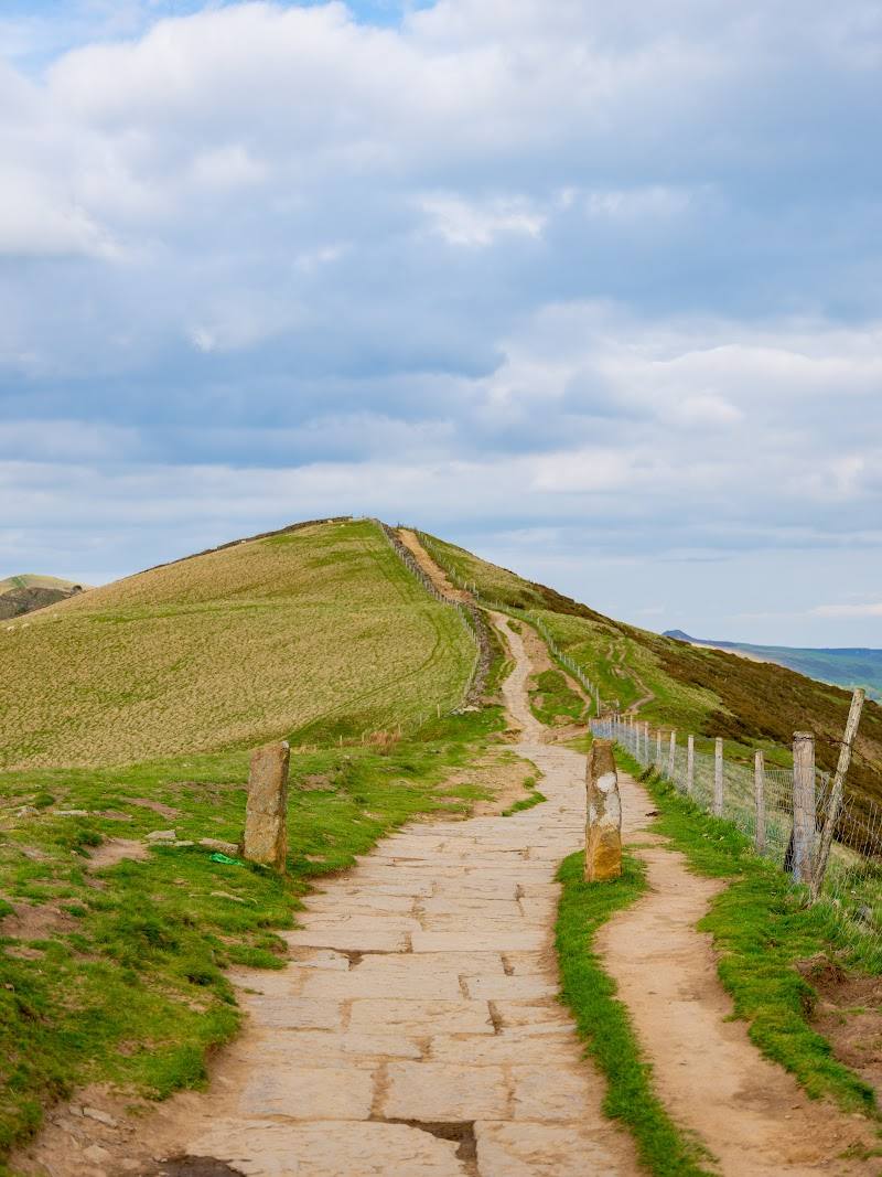
Keep exploring
Around Mam Tor
Within 50 km · approximate straight-line distances
 Place photograph7.6
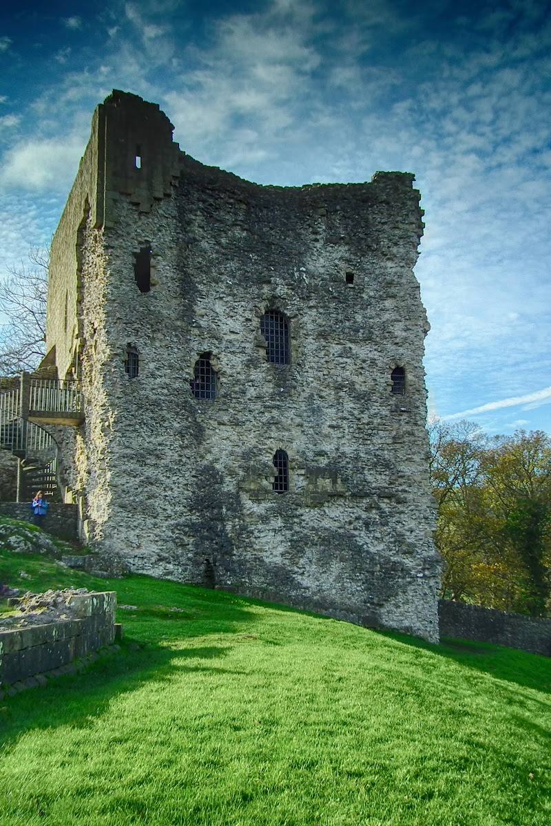
Peveril Castle
Market Place, Castleton, Hope Valley, Derbyshire S33 8WQ
2.4 km away

 Place photograph5.4
Chatsworth Farmyard & Adventure Playground
Chatsworth House, Bakewell, Derbyshire DE45 1PP
18.9 km away