Peak District National Park, near Glossop, Derbyshire
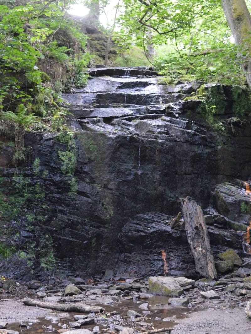
Middle Black Clough Waterfall
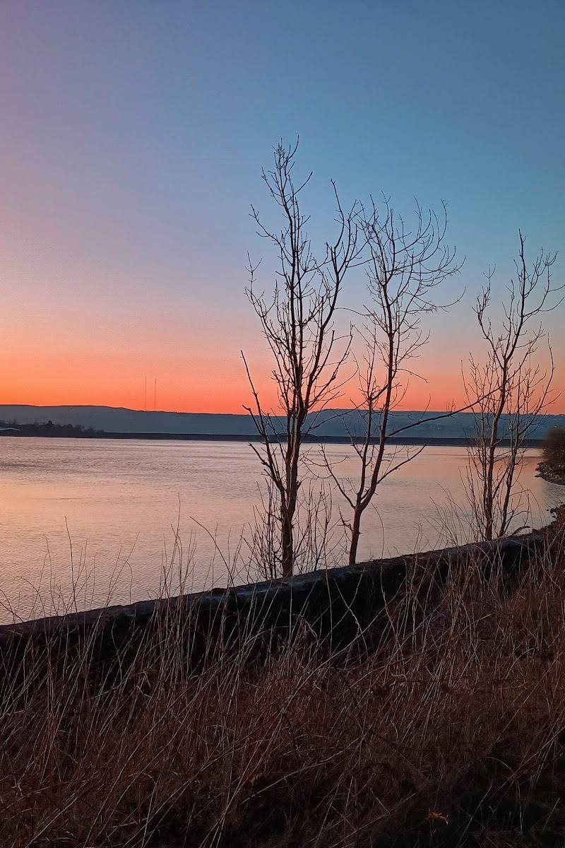
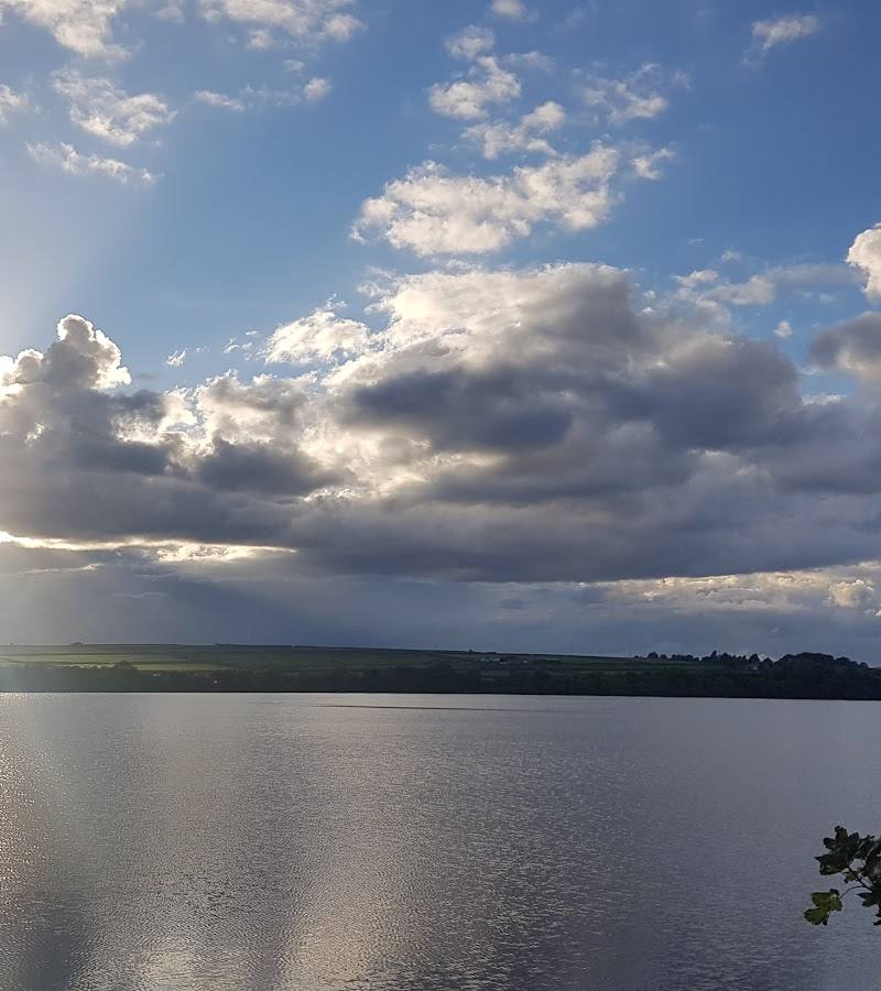
Waterside landscape
Place photograph
5.8
Wildland
1–2 hours
Time
Check
Cost
Wild
Feel
Why it's Wildland
5.8A short Peak District walk ends at a rocky cascade tucked into Black Clough. The waterfall is the reward; the rough, sometimes hard-to-follow approach is part of the adventure.
The appeal here is concentrated rather than sprawling: a brief route through rugged clough country leads to a secluded-feeling waterfall, with enough rocky ground and route-finding to make the arrival feel earned. Go for the cascade and the wild character of the approach, not for facilities or an easy surfaced path.
Wild · Atmospheric
Find your way
Open mapPeak District National Park, near Glossop, Derbyshire
Opening map…
Know this place a little better?
The experience
A short out-and-back walk to a Peak District waterfall. AllTrails lists the route at 1.6 miles with 265 feet of elevation gain and rates it moderate. Expect a rough, rocky approach and take care with footing; do not assume that the waterfall is suitable or permitted for swimming.
Things to do
Walk the out-and-back route to the waterfall
Follow the short route to Middle Black Clough Waterfall. The listed trail is 1.6 miles with 265 feet of elevation gain; the final approach is rocky and may be slippery or difficult to follow.
About 1–2 hours
Photograph the cascade
Use the waterfall and its rocky surroundings as the focus for photographs. Choose a stable position well back from slippery rocks and the water’s edge.
Notice the changing terrain
The route description notes an easier opening section followed by a rockier climb towards the waterfall. Be prepared for uneven ground and poor path visibility.
Make a day of it
Quick escape · About 1–2 hours
Quick escape: walk to the cascade
- 01
Start from the route’s listed parking area, after checking current parking and access.
- 02
Follow the out-and-back route towards Black Clough.
- 03
Take care as the ground becomes rocky and the path less distinct near the waterfall.
- 04
Spend time viewing the cascade, then return by the same route.
Half day · Half day
Make a half day of it: take the walk slowly
- 01
Set aside time for the 1.6-mile out-and-back route rather than treating it as a quick roadside stop.
- 02
Pause on the approach to enjoy the clough landscape and take photographs.
- 03
Allow extra care and time on the rocky final section, then retrace your steps.
- 04
Bring food and drink: facilities at the site are not reported.
When to go
April · May · June · A clear, settled period when you can see the rocky path and judge your footing. No evidence confirms a particular quiet time.
The source row recommends spring and early summer for seasonal greenery and says rainfall can make the waterfall more impressive. Conditions vary; wet, misty or icy weather can make the route slippery or difficult.
Check the forecast and route conditions before travelling. Rocks can be slippery in rain or fog, and the path may be hard to follow. Wear sturdy footwear and avoid the route when conditions make the scramble unsafe.
The route
- ascent
- 265 ft elevation gain
- surface
- Mixed surface: route listing reports gravel, rock, some unknown surface and a small paved section; expect rocky and uneven ground near the waterfall.
- distance
- 1.6 miles
- duration
- About 1–2 hours; route listing gives distance and elevation but no duration
- difficulty
- Moderate
- route shape
- Out and back
- start point
- Route listing describes a start from a parking area at the route start. Confirm the precise start point before setting out.
- parking start
- AllTrails describes parking at the start. The source row mentions an A628 layby, but current availability and suitability are not verified.
- Middle Black Clough Waterfall
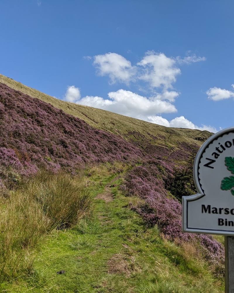
- Rocky approach through the clough
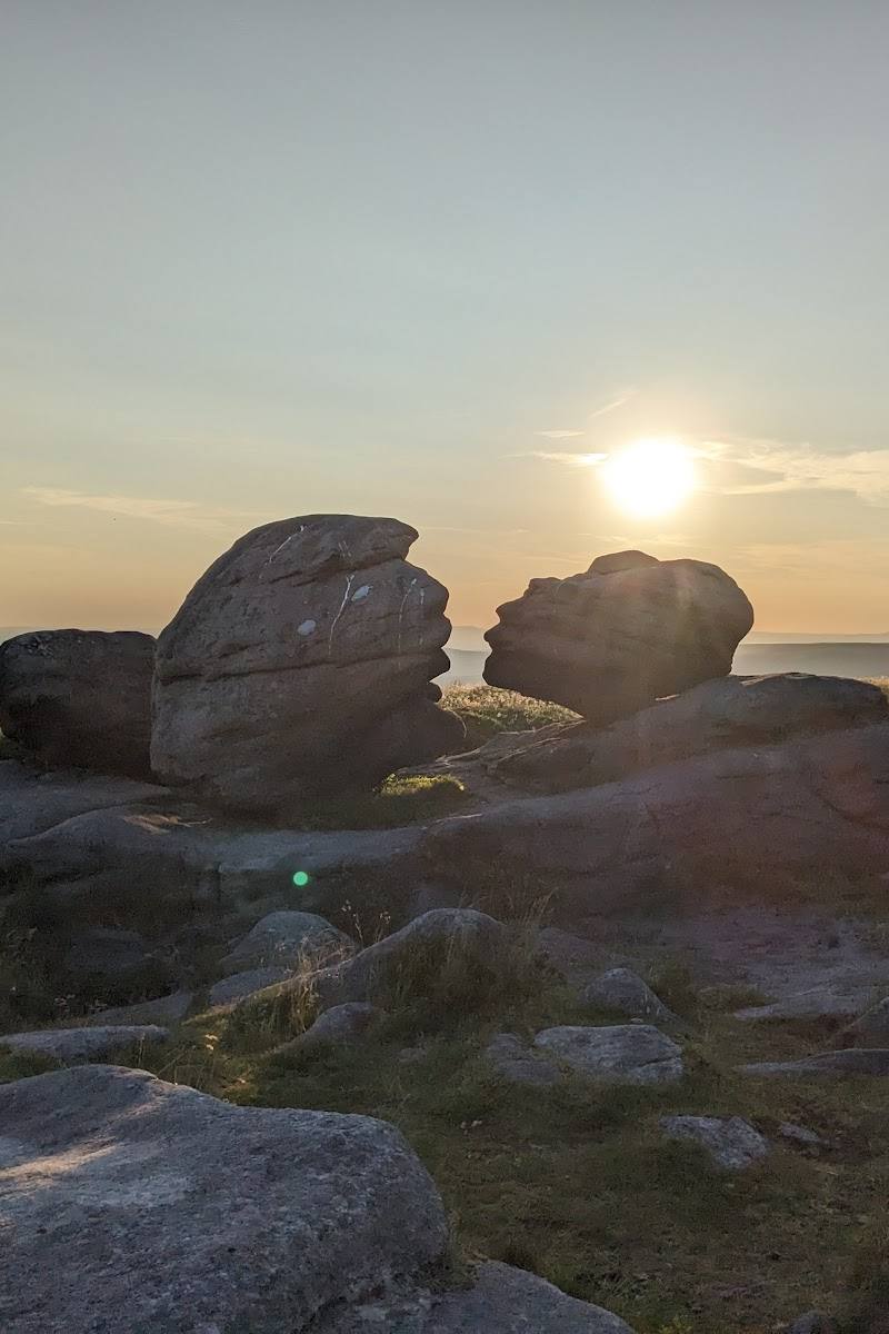
- Views along the short route
What to look for
Watch how the water moves over the dark, rugged rock at the cascade. On the approach, notice the change from the easier opening section to the steeper, rockier ground near the waterfall.
Best time to go
Spring to early summer, or after rainfall when conditions make the cascade more rewarding. Avoid setting out in unsafe weather or when the rocky approach is slippery or icy.
Choose a settled, clear day and allow extra time for the rocky final approach. Spring and early summer are suggested in the source row, but conditions on the ground matter more than the season.
How long to spend
1–2 hours
Perfect for
Walkers · Photographers
Practical information
Opening & access
A short, moderate walk leads to the waterfall over uneven, rocky ground; the final approach involves scrambling. Path visibility can be poor and rocks slippery, especially in wet or misty conditions. The route listing describes an out-and-back walk from a parking area at the start, but confirm the current route, parking arrangements and access before setting out. Access arrangements are unconfirmed. Check before visiting; do not enter private land or restricted structures.
Check before visiting
Parking
AllTrails describes parking at the start of its route. The source row also mentions a layby on the A628, but availability and the precise start point should be checked before travel.
Check before visiting
Toilets
No public toilets reported; check before visiting.
Check before visiting
Food & drink
No refreshments reported; bring what you need and check locally before visiting.
Check before visiting
Dogs
Dog access rules are not confirmed; check before visiting.
Check before visiting
Accessibility
Not wheelchair accessible. The route has uneven, rocky terrain, and the approach to the waterfall involves scrambling; it is unsuitable for anyone unable to manage these conditions.
Cost
Check before visiting
Check before visiting
Water
Waterfall and river
Gallery
Place photographsKeep exploring
Around Middle Black Clough Waterfall
Within 50 km · approximate straight-line distances