8.1
Wildland
Full day
Time
Check
Cost
Wild
Feel
Why it's Wildland
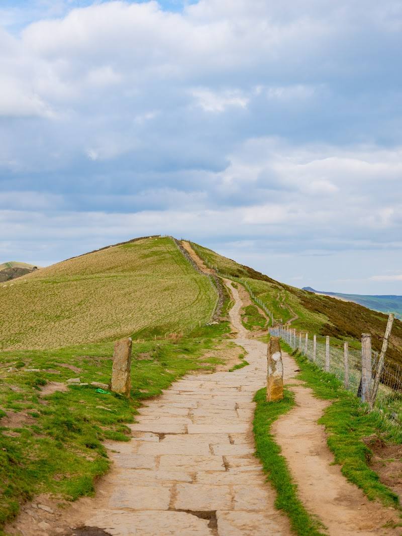
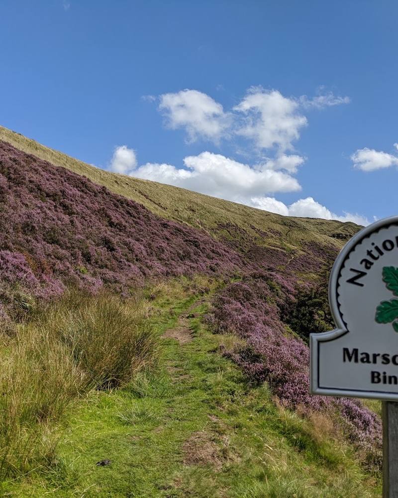
8.1Bleaklow is a broad, rugged Dark Peak moorland landscape, with a high, exposed summit reached by the Pennine Way and long routes from Old Glossop.
Bleaklow earns its place for the scale and severity of its open moorland: peat, rough terrain, far-reaching views and a demanding sense of exposure. It is a serious walking destination, not a casual stroll; poor visibility and changing weather make preparation and navigation essential.
Wild · Remote · Dramatic
Find your way
Open mapNear Glossop, Derbyshire
Opening map…
Know this place a little better?
The experience
Plan a full day for a summit walk from Old Glossop. The sourced circular route is long and strenuous, crossing exposed moorland and passing Bleaklow Head, with an optional detour to High Shelf Stones and the 1948 crash site. Carry suitable equipment and check conditions; the sources describe arduous terrain and rapidly changing weather.
Things to do
Walk to Bleaklow Head
Follow a documented long circular route from Old Glossop via Doctor’s Gate and the Pennine Way to Bleaklow Head. The cited route is 13.1 miles, with 1,853 feet of ascent and an estimated duration of 6–6.5 hours.
6–6.5 hours
Detour to High Shelf Stones
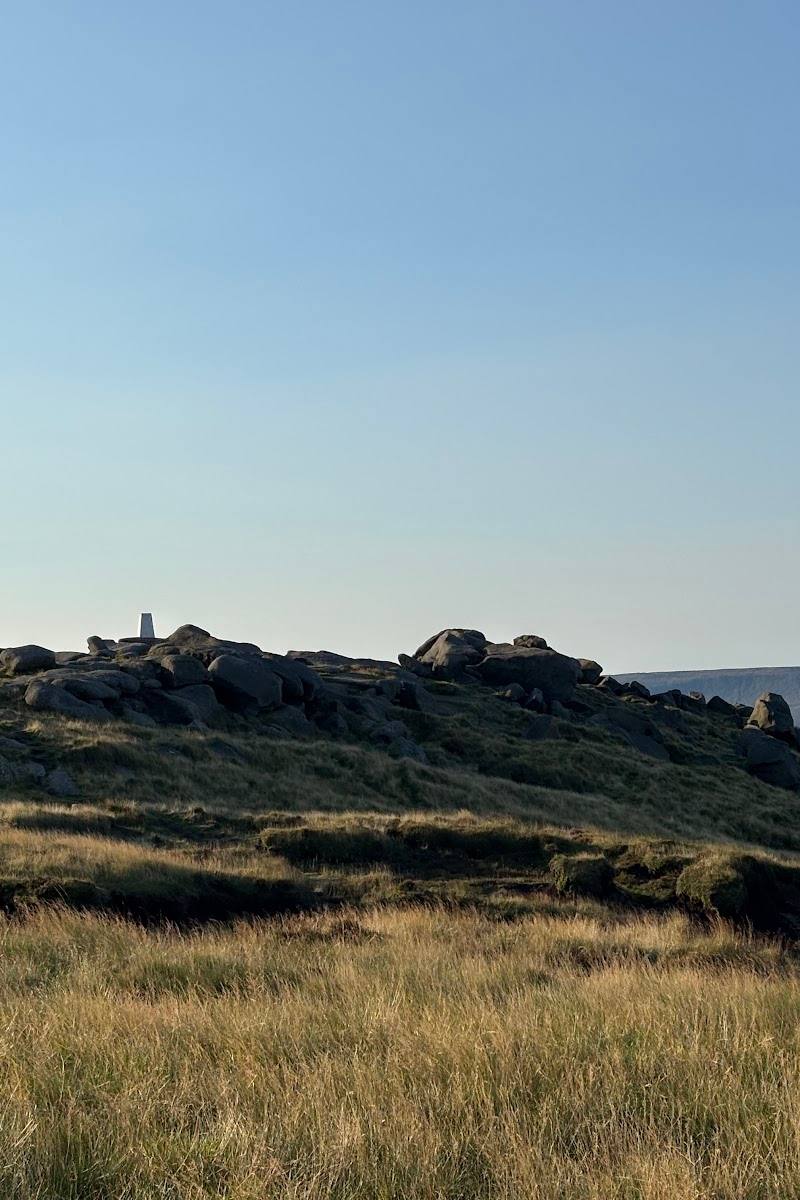
The route source describes a detour to the trig point at High Shelf Stones, near the B29 crash site and memorial. Treat the detour as part of a demanding moorland walk, not a separate easy visit.
Look for the summit marker and boulder groups
Bleaklow Head is marked by a stake in a cairn. The route also passes the Hern Sones and Wain Stones, described as groups of large boulders.
Make a day of it
Quick escape · Full day; the cited circular route is 13.1 miles and estimated at 6–6.5 hours.
Bleaklow Head from Old Glossop
- 01
Start in Old Glossop and follow Shepley Street and Doctor’s Gate towards Snake Pass.
- 02
Join the Pennine Way and continue towards Bleaklow Head.
- 03
Allow for exposed, rough moorland and demanding navigation; check conditions before departure.
Verified history
A US Air Force RB-29A crashed on Bleaklow in 1948, killing all 13 crew members. The route source reports that wreckage remains scattered over the site and that the RAF built a memorial there in 1988. The supplied material also identifies the aircraft as having previously been used to film nuclear tests on Bikini Atoll.
Hidden details
The 1948 aircraft wreckage — Near High Shelf Stones, the route source describes remaining fuselage, wheels and engine parts, as well as a memorial associated with the 1948 crash. The site is reached by a detour on a strenuous moorland route.
When to go
· Check the forecast and visibility before setting out; no preferred time of day is established in the supplied sources.
The supplied sources do not support a specific seasonal recommendation. One walk account warns that conditions can change quickly and describes four seasons in a day.
Exposed moorland weather can change quickly. The cited walk account describes arduous peat-bog terrain and says good navigation and sturdy footwear are necessary. Check forecast and conditions before departure.
The route
- ascent
- 1,853 feet
- surface
- Exposed, rough moorland; peat-bog terrain and arduous progress are reported. Exact surface details vary by section.
- distance
- 13.1 miles for the cited Bleaklow Head and Old Glossop circular
- duration
- 6–6.5 hours estimated for the cited circular
- difficulty
- Hard
- waymarking
- The cited route follows the Pennine Way for part of its course; other sections are not fully described as waymarked.
- route shape
- Loop
- start point
- Old Glossop
- parking start
- The route source says to start in Old Glossop but does not verify parking arrangements. Check before visiting.
- Bleaklow Head summit marker
- High Shelf Stones trig point and nearby crash site detour
- Hern Sones and Wain Stones
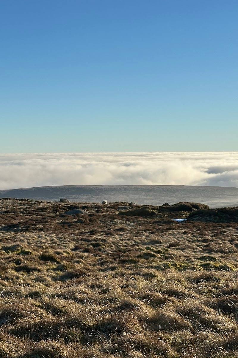
- Views across Manchester and the Hope Valley, with Eryri reportedly visible on clear days
- Descent via Torside Clough and the Longdendale Trail
Worth pairing with
Old Glossop
The cited summit circular starts in Old Glossop. Visit Peak District describes it as a historic settlement with stone cottages and a medieval market cross; the supplied sources do not verify specific opening times or businesses.
What to look for
Look for the summit stake set in a cairn at Bleaklow Head, the boulder groups known as the Hern Sones and Wain Stones, and—on the High Shelf Stones detour—the aircraft wreckage and memorial described in the route source.
The story
A 1948 US Air Force aircraft crash site and memorial near High Shelf Stones; substantial wreckage is reported to remain.
Best time to go
Check current conditions before travelling; the supplied sources do not establish a best season.
No specific best months or time of day are established by the supplied sources. Check the forecast and visibility before setting out.
How long to spend
Full day
Perfect for
Walkers · Photographers
Before you go
Address
Listed hours
- Monday: Open 24 hours
- Tuesday: Open 24 hours
- Wednesday: Open 24 hours
- Thursday: Open 24 hours
- Friday: Open 24 hours
- Saturday: Open 24 hours
- Sunday: Open 24 hours
Check before visiting.
Google rating
Practical information
Opening & access
A moorland destination reached by walking routes from Old Glossop and other approaches. Check current access and route conditions before setting out.
Check before visiting
Parking
Check before visiting. One documented circular route starts in Old Glossop, but the supplied sources do not verify current parking availability or permission.
Check before visiting
Toilets
Check before visiting
Check before visiting
Food & drink
Check before visiting
Check before visiting
Dogs
Check current local guidance and signage before visiting.
Check before visiting
Accessibility
Rough, exposed moorland routes are described; the supplied sources do not establish an accessible route.
Cost
Check before visiting
Check before visiting
Water
Check before visiting
Check before visiting
Gallery
Place photographs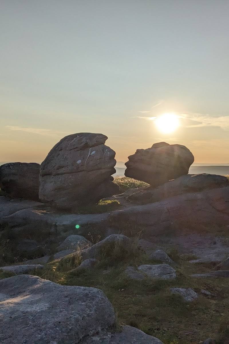
Keep exploring
Around Bleaklow
Within 50 km · approximate straight-line distances