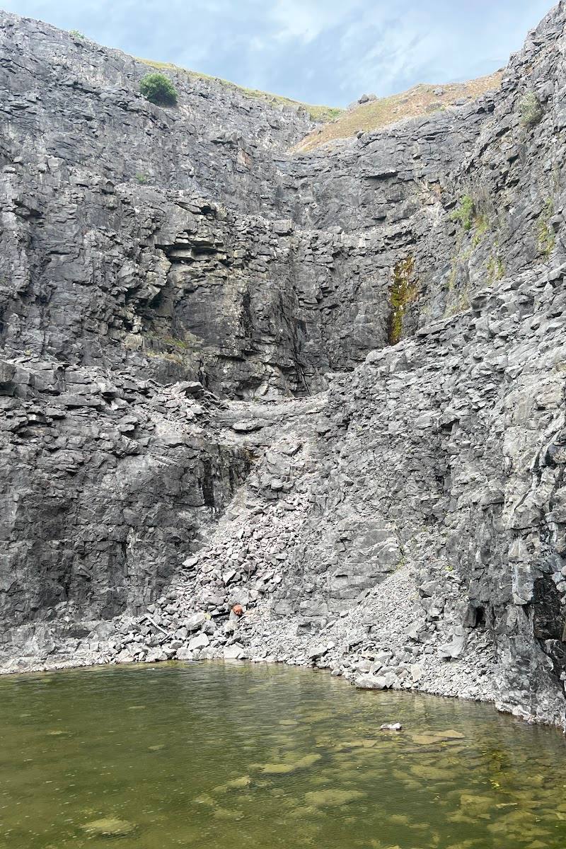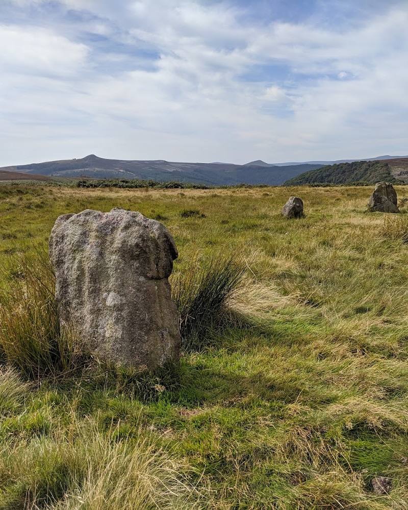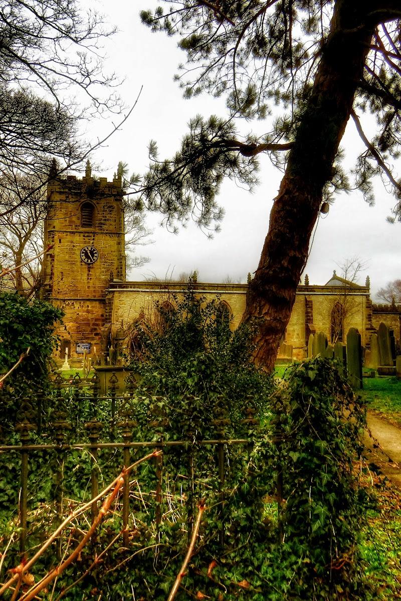
Castleton, Hope Valley, Derbyshire, England, at the western end of the Hope Valley in the Peak District.
Castleton
Historic village
Place photograph
6.7
Wildland
Half day
Time
Check
Cost
Atmospheric
Feel
Why it's Wildland
6.7Castleton sits where the pale limestone of the White Peak meets the darker gritstone and shale of the Dark Peak. From the village, you can head into steep-sided Cave Dale, towards Peveril Castle, or out to the open ridge country above the Hope Valley.
Castleton earns its place through an unusually rich meeting of village, geology and hill walking: limestone dales, a dramatic pass and routes towards the Great Ridge all begin close to its centre. It is a popular honeypot, not a hidden or reliably quiet escape, but it offers a remarkable range of landscape in a compact area.
Atmospheric · Dramatic · Family-buzz
Find your way
Open mapCastleton, Hope Valley, Derbyshire, England, at the western end of the Hope Valley in the Peak District.
Opening map…
Know this place a little better?
The experience
Explore the village lanes, then choose between a shorter outing into Cave Dale and a longer hill walk towards Mam Tor and the Great Ridge. Show caves and Peveril Castle are also described as nearby attractions; check current access and opening details before planning around them.
Things to do
Walk into Cave Dale
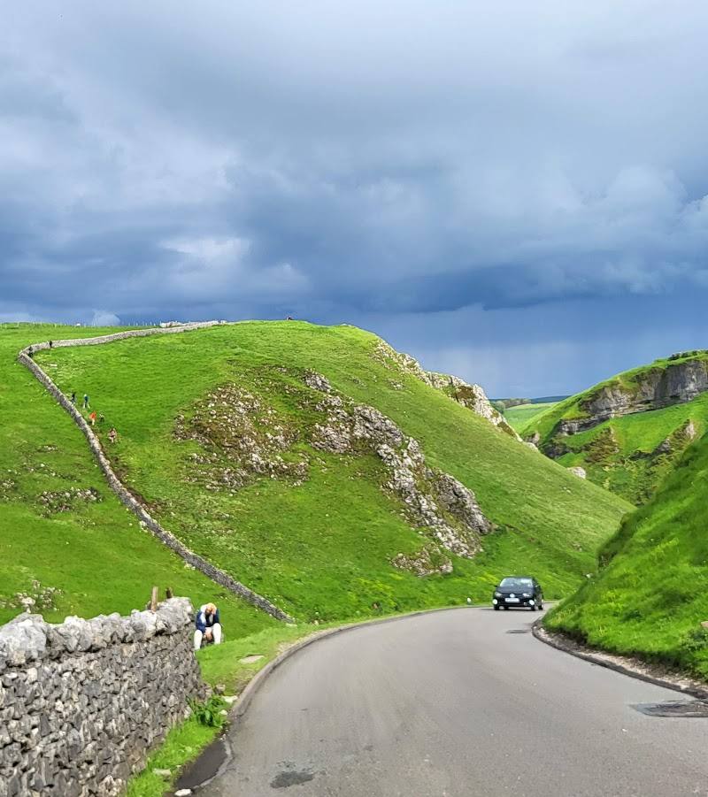
Reach the dale from the village lanes and follow its rocky path between steep limestone sides, with Peveril Castle above. The source describes the path as rocky and steep; assess conditions and your ability before setting out.
Allow time to explore; check route details
Take a longer walk towards Mam Tor and the Great Ridge
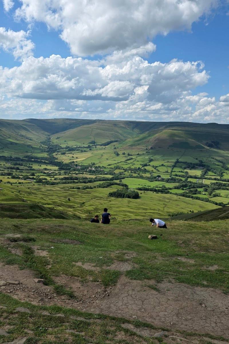
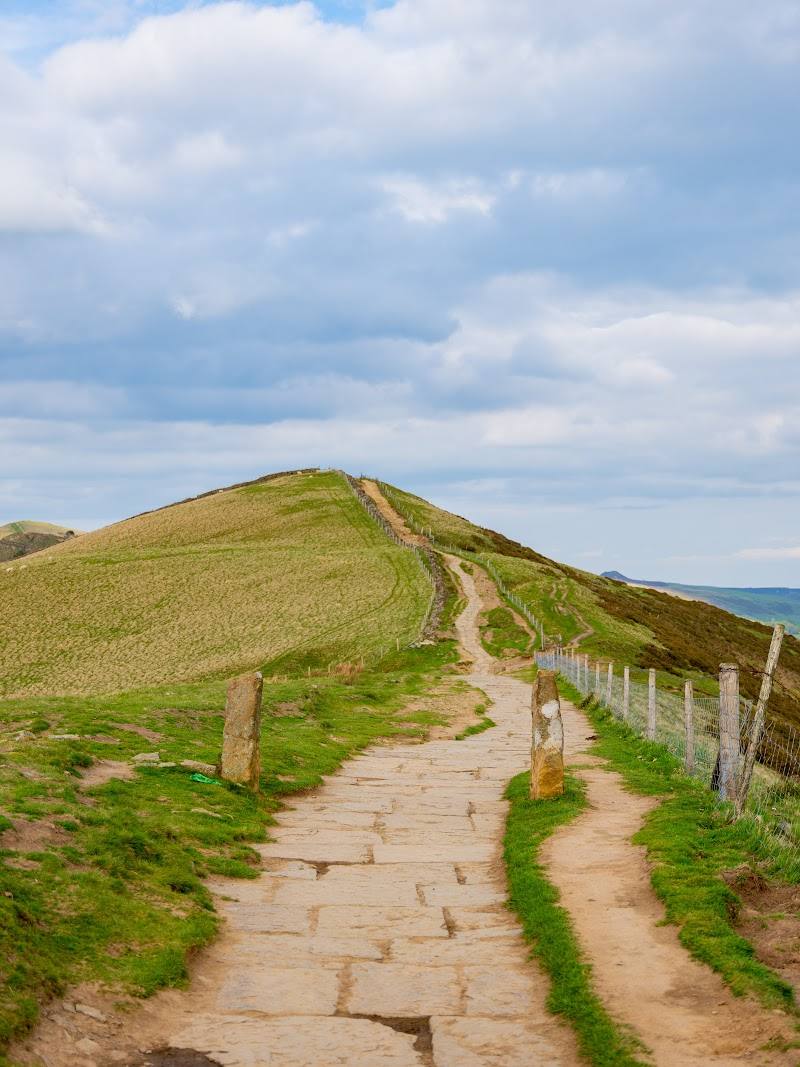
The source describes a Castleton-starting route of around 6½ miles, with an eight-mile option, crossing Mam Tor and continuing over Back Tor towards Lose Hill. Check a current route description before departure.
Full day
Explore the village lanes
Wander Castleton’s back lanes and village centre. The source notes that the main street can be busy while some back streets are quieter.
About an hour
Visit a show cave
The sources identify four show caves around Castleton: Blue John, Treak Cliff, Speedwell and Peak Cavern. Check current opening, booking and access information; do not assume admission or availability.
Make a day of it
Quick escape · About 1–2 hours
A short village-and-dale wander
- 01
Explore Castleton’s village lanes and centre.
- 02
Walk towards the entrance to Cave Dale and follow the rocky dale path for an out-and-back visit; turn back when the terrain or conditions warrant.
Half day · Around half a day
Cave Dale and Castleton’s caverns trail
- 01
Start in Castleton and follow the village lanes towards Cave Dale.
- 02
Explore the dale on foot, allowing time for its steep limestone sides and views towards Peveril Castle.
- 03
The source describes a two-hour Castleton Caverns Trail passing the area’s four show caves; check the visitor-centre leaflet, route details and current cave access before choosing this option.
- 04
Return to the village for refreshments; cafés and pubs are mentioned by the source.
Full Wildland day · Full day
A full day from the village to the Great Ridge
- 01
Begin in Castleton and take a longer route towards Mam Tor and the Great Ridge; the source describes a route of about 6½ miles, with an eight-mile option.
- 02
Pause along the ridge for views over the Edale and Hope valleys.
- 03
On the return, consider Cave Dale or a show cave only if time, conditions and current access allow; do not overfill the day, and check route and attraction details beforehand.
- 04
Finish back in Castleton, where the source describes pubs, cafés and shops.
Verified history
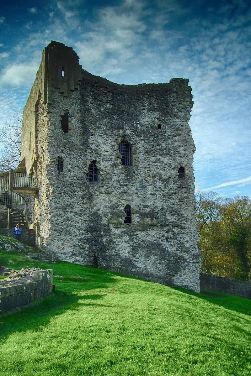
The sources describe Peveril Castle as a ruined Norman castle above Castleton. They also explain the area’s geological contrast: limestone to the south of the Hope Valley and darker gritstone and shale to the north. The available research does not establish a fuller account of the castle’s dates or events.
Hidden details
The old road on Mam Tor’s East Face — The source says repeated landslips made the old A625 too difficult to maintain and that it was abandoned in 1977. Its broken tarmac remains visible on the hillside. Keep to legitimate paths and do not treat the old road as a substitute for checking a current route.
Where the Peak District’s two landscapes meet — Castleton lies by the boundary between the limestone White Peak and the darker gritstone and shale of the Dark Peak. Cave Dale offers a particularly tangible place to notice the change in character of the surrounding landscape.
When to go
April · May · September · October · Start early, especially on fine weekends, when the village and popular approaches can be busy.
The supplied sources recommend suitable walking footwear and describe Castleton as busy at popular times, but do not establish a definitive seasonal optimum. Spring and autumn are suggested as practical walking seasons rather than guaranteed best periods.
Hill routes and the rocky Cave Dale path need appropriate footwear and preparation. Check the forecast and ground conditions before walking; conditions can change in exposed hill country.
Worth pairing with
Peveril Castle
The ruined Norman castle is described as rising above the village and Cave Dale. Check current access and visiting information before planning a visit.
Castleton show caves
Blue John, Treak Cliff, Speedwell and Peak Cavern are identified in the supplied sources. Confirm opening and booking arrangements before travelling.
What to look for
Notice the change from pale limestone around Cave Dale to the darker gritstone and shale of the northern hills. Look for Peveril Castle above the dale and the old road scar on Mam Tor’s East Face, described as a trace of the road abandoned after repeated landslips.
The story
Archaeology
Best time to go
Spring and autumn for walking in cooler conditions and changing scenery; Castleton can be busy in fine weather and at weekends.
An early start is a sensible choice if you want to walk before the village and its approaches become busier. Fine weekends can be particularly busy; check the forecast and bring proper walking boots for rougher routes.
How long to spend
Half day; Full day; Weekend
Perfect for
Walkers · History lovers · Photographers
Before you go
Address
Practical information
Opening & access
A village destination with walking routes beginning in or near the village. The area can be busy, particularly at popular times; check current access and travel information before setting out. Do not enter mine workings.
Check before visiting
Parking
A village car park is mentioned by the source, but current location, availability and charges are not confirmed. Check before visiting.
Check before visiting
Toilets
Check before visiting.
Check before visiting
Food & drink
The source describes cafés, pubs and other eateries in the village. Check current opening arrangements before visiting.
Check before visiting
Dogs
The source reports signs asking dog owners to keep dogs on leads during ground-nesting bird and lambing seasons. Follow local signs and livestock guidance.
Accessibility
The village provides access to several walks, but terrain varies: Cave Dale is described as rocky and steep, and hill routes require suitable footwear and preparation. Check route conditions and suitability before setting out.
Check before visiting
Cost
Paid (some parking and attractions may charge; check before visiting).
Check before visiting
Water
Stream; River
Gallery
Place photographs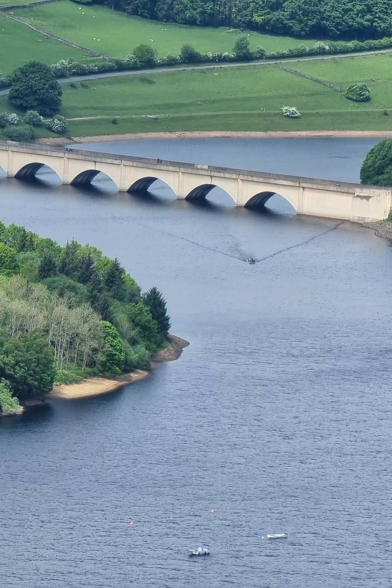
Keep exploring
Around Castleton
Within 50 km · approximate straight-line distances