Hope Valley, Peak District, Derbyshire, S33 0AZ
Hordron Edge stone circle
Prehistoric
Source image
5.5
Wildland
1–2 hours
Time
Check
Cost
Atmospheric
Feel
Why it's Wildland
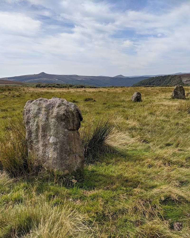
5.5Seven stones on open moorland, with the Hope Valley landscape spread out around them.
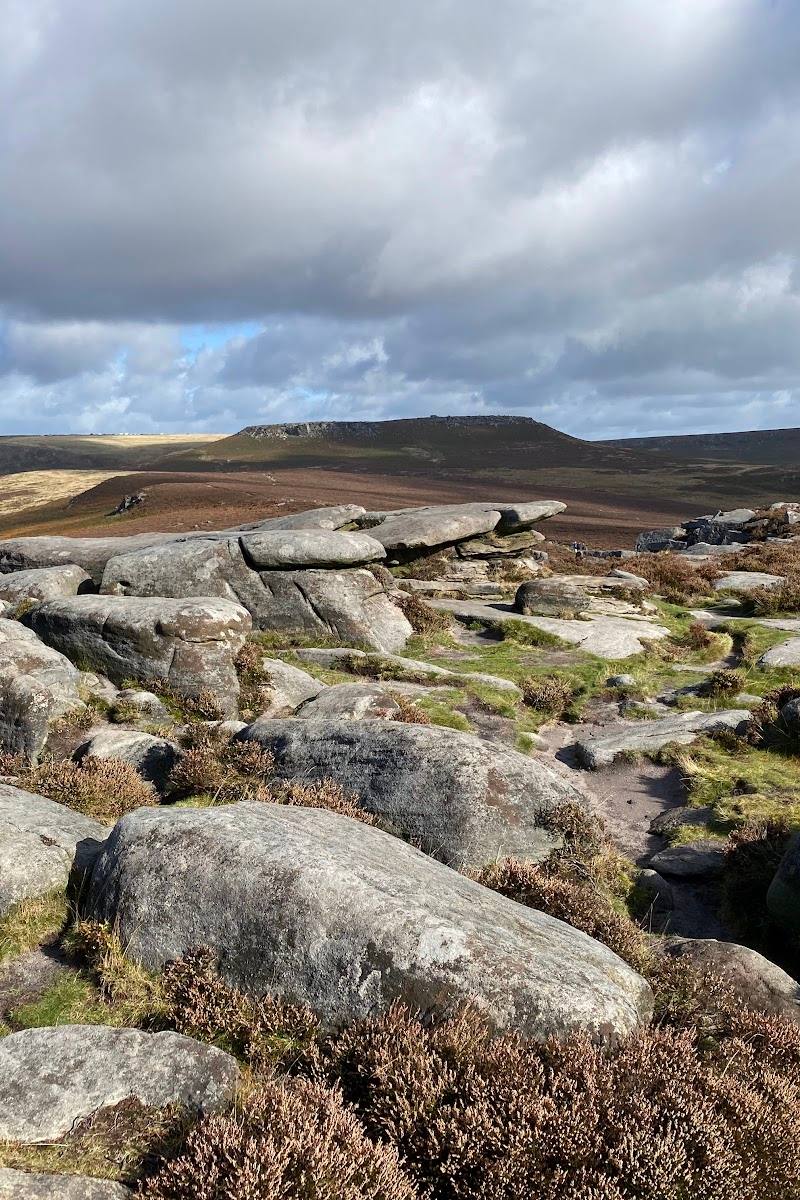
Hordron Edge pairs a small prehistoric stone circle with a moorland walk and broad Peak District views. The setting gives the stones their appeal: this is a place to explore on foot, look closely at the circle and take in the surrounding landscape.
Atmospheric · Big-sky
Find your way
Open mapHope Valley, Peak District, Derbyshire, S33 0AZ
Opening map…
Know this place a little better?
The experience
Visit the circle as part of a moorland walk. AllTrails describes an out-and-back route of 3.1 miles (about 5 km), with 393 ft (about 120 m) of elevation gain and an estimated walking time of 1–1.5 hours. It reports rough sections, so footwear suited to uneven, potentially wet ground is advisable.
Things to do
Walk to Hordron Edge stone circle
Follow a mapped out-and-back moorland route to the archaeological site. AllTrails lists the route as 3.1 miles, with 393 ft of elevation gain and an estimated duration of 1–1.5 hours; it warns that sections are rough.
1–1.5 hours
Take in the views from the moor
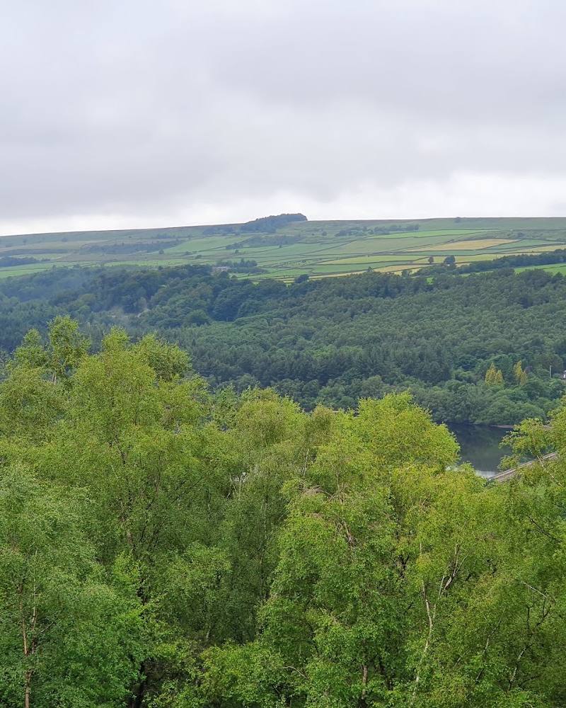
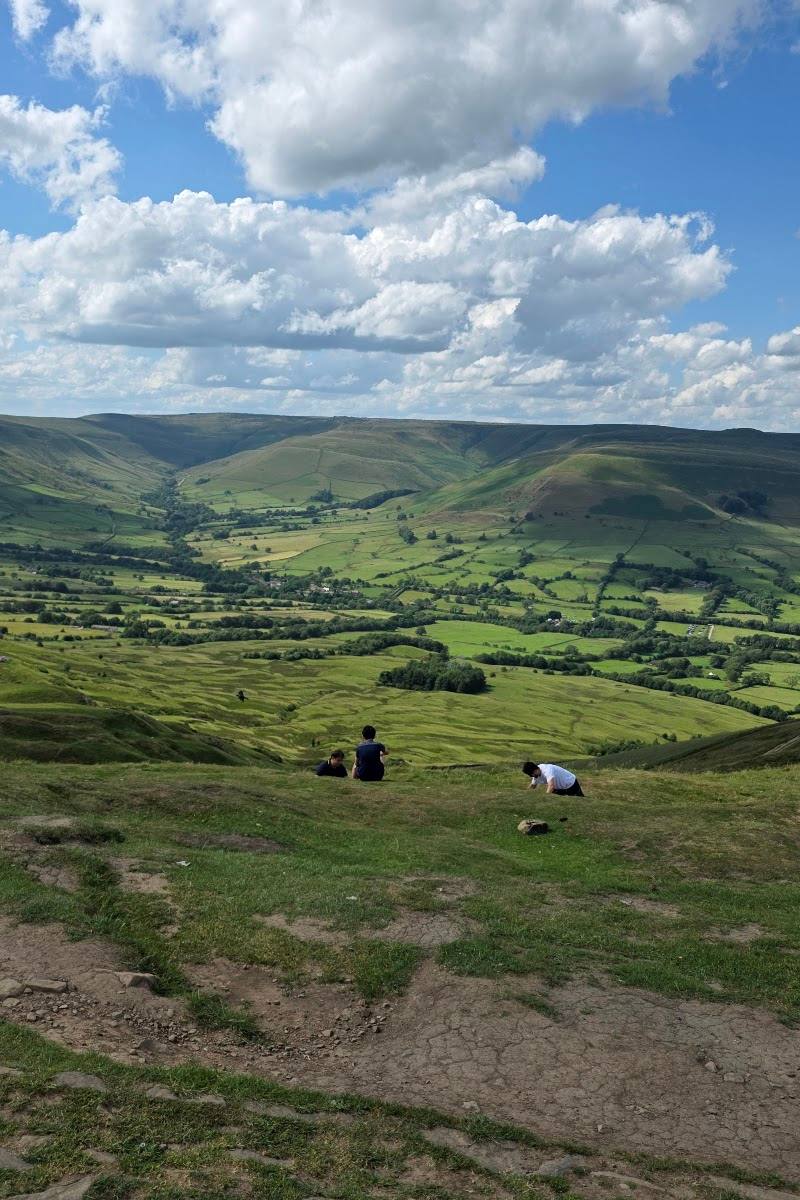
Pause along the walk to look across the Peak District landscape. The route description mentions views towards the River Derwent and Ladybower Reservoir.
Look closely at the stone circle
Spend time examining the stones as an archaeological site. The supplied source identifies the circle but does not establish its date, original function or a particular alignment.
Make a day of it
Quick escape · About 1–1.5 hours
Quick escape: walk to the stone circle
- 01
Plan an out-and-back walk to Hordron Edge stone circle using a current route map; the accepted place pin is not an entrance or start point.
- 02
Allow for the reported 3.1-mile route and 393 ft of elevation gain.
- 03
Spend time at the circle and take in the surrounding moorland views.
- 04
Retrace your route, taking care on rough or wet ground.
Half day · Half day
Half day: make time for the moorland setting
- 01
Check access and route conditions before setting out; confirm a suitable start and parking location independently.
- 02
Walk the described out-and-back route to the circle, allowing extra time beyond the listed walking estimate for breaks and uneven terrain.
- 03
Pause at the stones and look out across the surrounding landscape, including views reported towards the River Derwent and Ladybower Reservoir.
- 04
Return by the same route. No nearby food stop is included because none is verified by the supplied sources.
Verified history
Hordron Edge is identified as a stone circle and archaeological site, also known as Hordron Circle or the Seven Stones of Hordron Edge. The supplied sources do not establish a construction date, archaeological interpretation or documented historical events, so none are asserted here.
Hidden details
The circle’s alternate names — The Modern Antiquarian lists the site as both Hordron Circle and the Seven Stones of Hordron Edge.
When to go
· No time-of-day recommendation is verified. Check the forecast before setting out, as the route crosses exposed moorland.
The supplied sources do not identify a season-specific feature or best visiting period.
The route is described as rough in places, with care needed on wet ground. Check the forecast and current trail conditions; exposed moorland can make suitable clothing and footwear important.
The route
- ascent
- 393 ft (about 120 m)
- surface
- Mixed: gravel, grass and natural or unspecified surface, according to AllTrails.
- distance
- 3.1 miles (about 5 km)
- duration
- 1–1.5 hours estimated
- difficulty
- Listed as easy by AllTrails; rough sections require care.
- route shape
- Out and back
- start point
- Not verified. The accepted Google Maps pin is the main-place pin, not an entrance or route start.
- parking start
- Not verified. Check before visiting; do not treat the main-place pin as a parking location.
- Hordron Edge stone circle
- Moorland walking
- Views towards the River Derwent and Ladybower Reservoir
What to look for
Look closely at the seven stones of the circle, then take time to notice how the open moorland and surrounding Peak District views frame the site.
The story
Archaeology
Best time to go
No season-specific advantage is established by the supplied sources. Check conditions before setting out.
No specific season or time of day is verified. Check the forecast and trail conditions; the reported route can be rough, particularly in wetter conditions.
How long to spend
1–2 hours
Perfect for
Walkers · History lovers · Photographers
Before you go
Address
Listed hours
- Monday: Open 24 hours
- Tuesday: Open 24 hours
- Wednesday: Open 24 hours
- Thursday: Open 24 hours
- Friday: Open 24 hours
- Saturday: Open 24 hours
- Sunday: Open 24 hours
Check before visiting.
Google rating
Practical information
Opening & access
The accepted map pin identifies the stone circle, not an entrance or parking place. An AllTrails route reaches it, but public access, the best starting point and current access conditions are not confirmed here. Check before visiting. Access arrangements are unconfirmed. Check before visiting; do not enter private land or restricted structures.
Check before visiting
Parking
No verified parking information for Hordron Edge. The Google pin is not a parking pin; check before visiting.
Check before visiting
Toilets
Check before visiting.
Check before visiting
Food & drink
Check before visiting.
Check before visiting
Dogs
Check before visiting; dog access and any restrictions are not confirmed.
Check before visiting
Accessibility
The route is described as rough in places and includes elevation gain. Wheelchair and pushchair suitability is not established; check current route and access conditions before visiting.
Check before visiting
Cost
Check before visiting.
Check before visiting
Gallery
Place photographsKeep exploring
Around Hordron Edge stone circle
Within 50 km · approximate straight-line distances