Near Lamplugh, Cumbria, on the western edge of the Lake District
Cogra Moss
Reservoir
Place photograph
5.5
Wildland
1–2 hours, Half day
Time
Check
Cost
Peaceful
Feel
Why it's Wildland
5.5A small reservoir beneath an amphitheatre of fells, where a short waterside walk can be extended into a hill day towards Blake Fell.
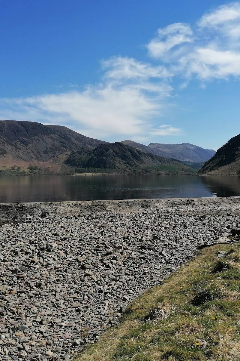
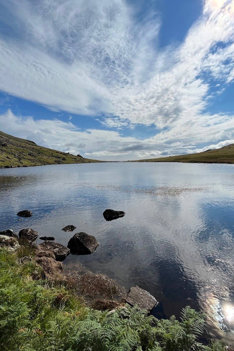
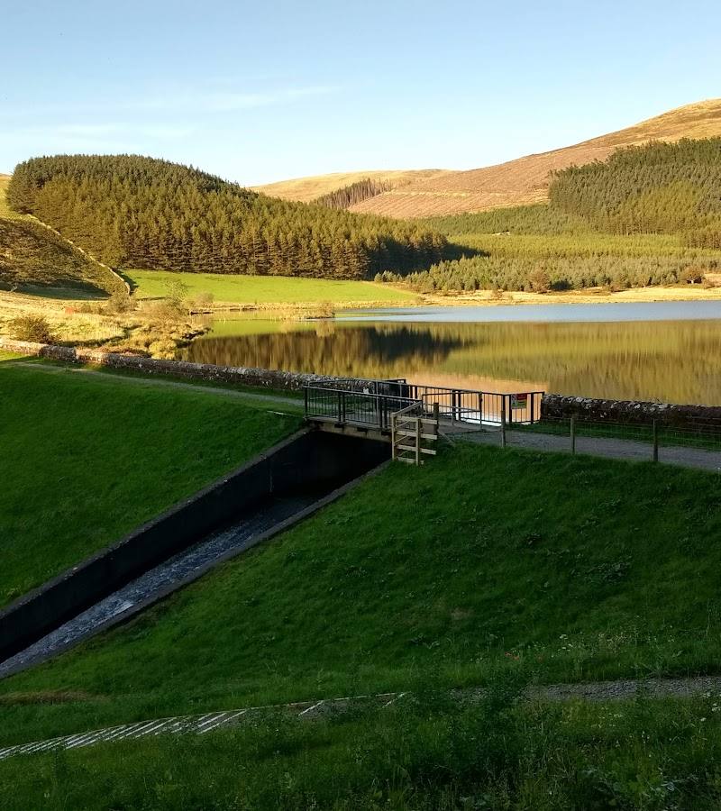
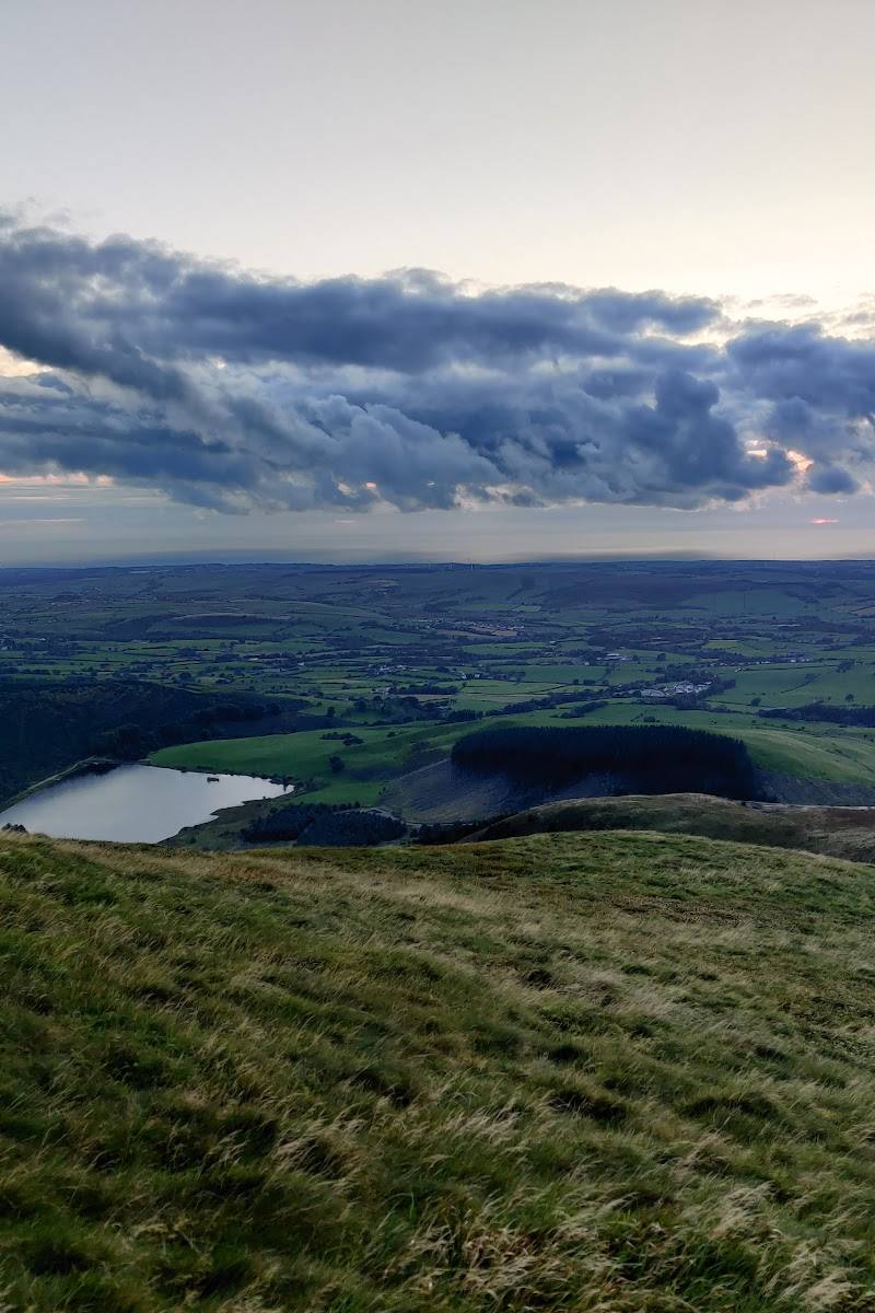
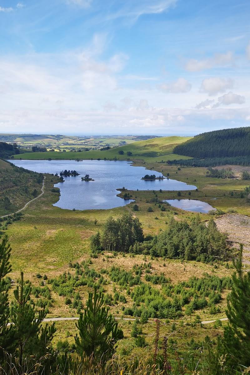
Cogra Moss brings together quiet water, surrounding forestry and a fell-backed setting. The lakeside path makes the scenery approachable, while the option to continue towards Blake Fell adds a more demanding day out.
Peaceful · Wild
Find your way
Open mapNear Lamplugh, Cumbria, on the western edge of the Lake District
Opening map…
Know this place a little better?
The experience
Walk beside the reservoir for views across the water to the surrounding fells, or use the lakeside route as a starting point for a longer hill walk. Swimming and paddling permission are not established by the available sources.
Things to do
Walk beside the reservoir
Follow the lakeside path for views across Cogra Moss towards High Hows, Sharp Knott and Blake Fell.
1–1.5 hours
Make a day of it
Quick escape · 1–1.5 hours
The Cogra Moss waterside walk
- 01
Start from the trailhead described by the walking guide.
- 02
Follow the path towards the reservoir beside Rakegill Beck.
- 03
Walk the lakeside section for views towards High Hows, Sharp Knott and Blake Fell.
- 04
Return the way you came.
Half day · Allow half a day
Make a half day of the reservoir and surrounding fells
- 01
Take the described lakeside walk and spend time looking across the water to the surrounding fells.
- 02
If conditions and your fitness allow, extend the outing towards Blake Fell using a suitable route guide.
- 03
Check access, weather and route conditions before setting out.
Verified history
Cogra Moss was formed by damming Rakegill Beck around 1880 and was used as a water supply until 1975. The supplied account describes it as a shallow reservoir of roughly 16 hectares.
Hidden details
A reservoir with a working past — The water is not simply a natural lake: it was created by damming Rakegill Beck and served as a water supply until 1975.
When to go
· No particular time of day is recommended by the supplied sources; check weather and conditions before visiting.
The supplied sources do not establish a seasonal highlight.
Check local weather and route conditions before setting out, especially if extending the walk onto the fells.
The route
- ascent
- 449 ft
- surface
- Maintained paths are described; the exact surface is not specified.
- distance
- 2 miles return
- duration
- 1–1.5 hours
- difficulty
- Easy
- route shape
- Out and back
- start point
- Trailhead at approximately 54.565823, -3.416587, as given by the walking guide.
- parking start
- The guide refers to a trailhead car park and advises arriving early to secure parking. Confirm current arrangements before travelling.
- Views across Cogra Moss towards High Hows, Sharp Knott and Blake Fell
- A path following Rakegill Beck towards the reservoir
What to look for
- 01
Look across the reservoir towards High Hows, Sharp Knott and Blake Fell
- 02
notice how the water sits within a wooded, fell-backed setting.
The story
Industry
Best time to go
No specific season is established by the supplied sources; check conditions before setting out.
The supplied sources do not identify a best season or time of day. Check the weather and path conditions before setting out.
How long to spend
1–2 hours, Half day
Perfect for
Walkers · Photographers
Before you go
Address
Google rating
Practical information
Opening & access
A lakeside walk is described from the trailhead, but current access arrangements and any restrictions are not confirmed. Check before visiting. Access arrangements are unconfirmed. Check before visiting; do not enter private land or restricted structures.
Check before visiting
Parking
A trailhead car park is mentioned by a walking guide; confirm its location, availability and any charges before travelling.
Toilets
Check before visiting
Check before visiting
Food & drink
Check before visiting
Check before visiting
Dogs
Check before visiting
Check before visiting
Accessibility
A walking guide describes a short route on maintained paths with relatively gentle terrain, but the full route and access suitability may vary. Check conditions before visiting.
Check before visiting
Cost
Check before visiting
Check before visiting
Water
Reservoir
Gallery
Place photographsKeep exploring
Around Cogra Moss
Within 50 km · approximate straight-line distances