Greendale, Wasdale, Cumbria
Greendale Tarn and Middle Fell Walk
route · Countryside walk
Place photograph
7.5
Wildland
Half day
Time
Check
Cost
Secluded
Feel
Why it's Wildland
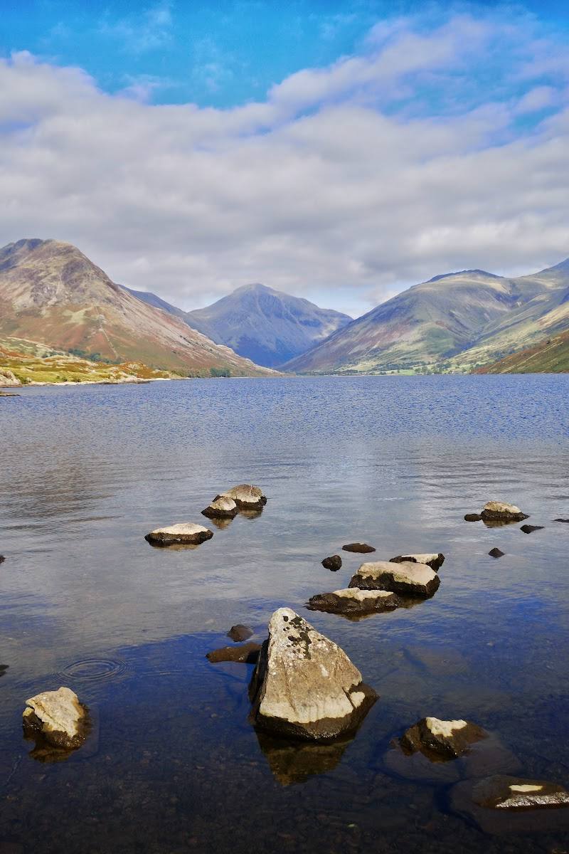
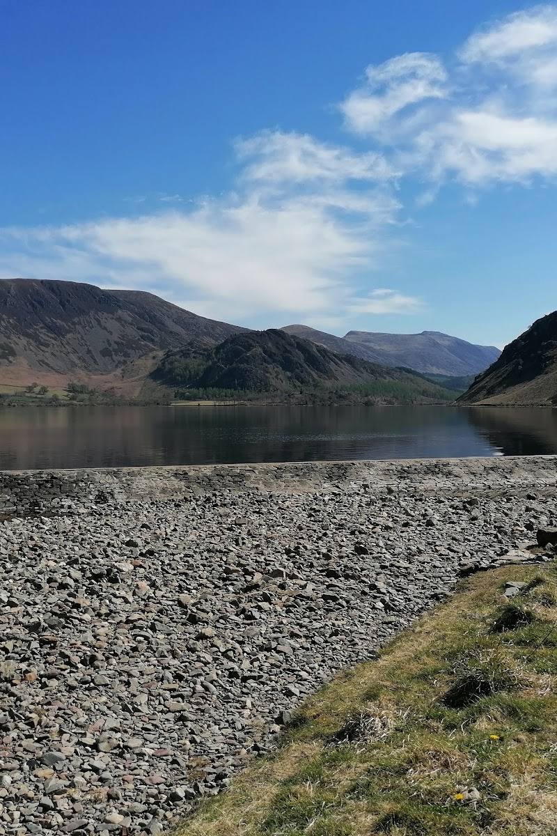
7.5A quiet mountain tarn lies on a hollowed route above Wastwater, with the climb to Middle Fell opening views across the Wasdale Screes and, in clear conditions, towards the Isle of Man.
This is more than a tarn-side stroll: the hidden water is a pause in a proper Western Fells circuit, followed by a summit and far-reaching views. The rough, steep ground makes it a rewarding walk for suitably prepared fell walkers, not a casual waterside wander.
Secluded · Dramatic · Wild · Big-sky
Find your way
Open mapGreendale, Wasdale, Cumbria
Opening map…
Know this place a little better?
The experience
Follow the circular route from Greendale, climbing beside the river and rock pools to Greendale Tarn, then continue up Middle Fell for views over Wastwater before descending to the start. Expect rough, steep and potentially boggy ground; carry suitable footwear, warm and waterproof layers, food, water and a map and compass.
Things to do
Walk to Greendale Tarn
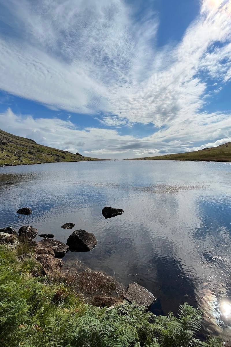
Follow the uphill path from Greendale towards the mountain tarn, which sits in a hollow between the hills. The supplied sources do not establish a separate access route or a reliable out-and-back duration.
Complete the Middle Fell circuit
Continue from the tarn up the grassy slope to Middle Fell, then descend by a rough, steep path to Greendale. AllTrails notes boggy terrain and recommends care with footing.
About 3 hours
Look towards the Isle of Man
From the route’s viewing areas, look west towards the Irish Sea; the National Trust says the Isle of Man may be visible when conditions are clear.
Make a day of it
Quick escape · Check locally; no reliable short-route duration is supplied.
Quick Escape: Tarn out-and-back
- 01
Start from Greendale and follow the uphill path towards the tarn.
- 02
Reach Greendale Tarn and retrace your route to the start; this is a suggested shorter option, not a separately verified mapped route.
- 03
Turn back sooner if conditions or the terrain are beyond your comfort or ability.
Half day · About 3 hours; allow extra time for stops and conditions.
Make a Half Day of It: Greendale Tarn and Middle Fell circuit
- 01
Start at Greendale, grid reference NY144056.
- 02
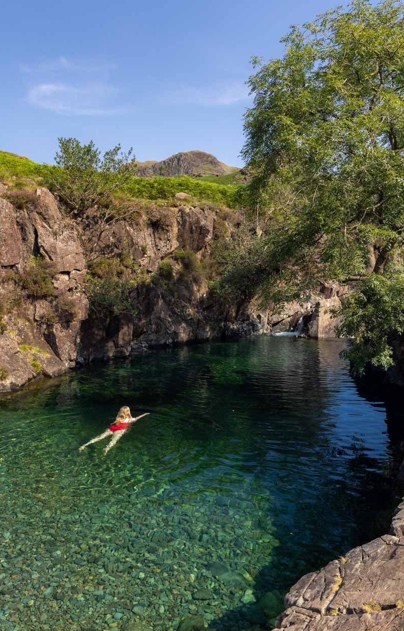
Climb beside the river and past rock pools to Greendale Tarn.
- 03
Continue up the grassy slope to Middle Fell; take care on boggy ground.
- 04
Pause for the views over Wastwater and the surrounding fells, then descend the rough, steep path back to the start.
- 05
Carry suitable footwear, warm and waterproof layers, food, water, and a map and compass; check conditions before setting out.
Hidden details
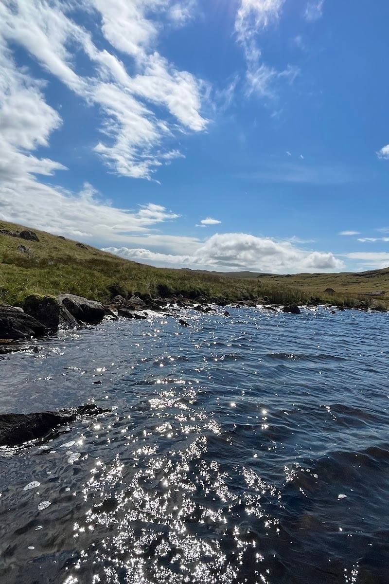
A tarn concealed in a mountain hollow — Greendale Tarn sits in a hollow between the hills, making it a quieter feature of the walk above Wastwater.
A distant island on a clear day — The National Trust notes that the Isle of Man may be seen rising above the Irish Sea when visibility is good.
When to go
· Choose a time that leaves ample daylight for the circuit and allows for changing mountain conditions.
The supplied sources give no month-specific recommendation. Mountain conditions can change quickly, so check the forecast and route conditions before setting out.
Conditions can change quickly in the mountains. The National Trust advises suitable footwear, waterproofs, warm layers, and carrying a map and compass. AllTrails also recommends food, water and sun protection and warns of boggy, rough and steep sections.
The route
- surface
- Moderately rough; grassy and boggy sections, with rough and steep ground on the descent
- distance
- 3.5 miles (5.6 km)
- duration
- 3 hours
- difficulty
- Moderate; moderately rough paths with some steep ascent and descent
- route shape
- Circular loop
- start point
- Greendale, grid reference NY144056
- parking start
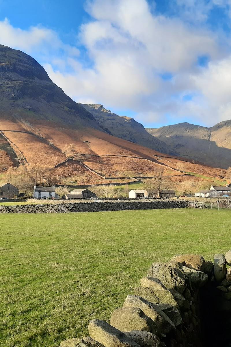
- National Trust reports space for 10 cars on grassy roadside at Greendale, next to the first building reached; nearest postcode CA20 1EU. Park considerately.
- shorter alternative
- Walk towards Greendale Tarn and retrace your steps, rather than completing the Middle Fell circuit. This is a suggested turnaround, not a separately mapped or timed route.
- Greendale Tarn in a hollow between the hills
- Ascent to Middle Fell
- Views over Wastwater and the Wasdale Screes
- Possible view of the Isle of Man in clear conditions
What to look for
- 01
The tarn tucked into a hollow between the hills
- 02
the Wasdale Screes from the route
- 03
and, when visibility allows, the Isle of Man on the horizon.
Best time to go
Check mountain conditions before setting out; no specific best season is established by the supplied sources.
Choose a day when mountain conditions and visibility are suitable. In clear conditions, the National Trust notes that the Isle of Man may be visible from the route.
How long to spend
Half day
Perfect for
Walkers · Photographers · Wildlife lovers
Route at a glance
Duration
Half day
Terrain
Hills, Valley
Parking / start
The National Trust reports space for 10 cars on a grassy roadside area at Greendale, beside the first building reached; park considerately. Nearest postcode CA20 1EU. Check before visiting.
Before you go
Address
Google rating
Practical information
Opening & access
A circular fell walk starting at Greendale. The National Trust describes the route as moderate, with moderately rough paths and steep ascent and descent. Check current conditions before setting out.
Check before visiting
Parking
The National Trust reports space for 10 cars on a grassy roadside area at Greendale, beside the first building reached; park considerately. Nearest postcode CA20 1EU. Check before visiting.
Check before visiting
Toilets
Check before visiting
Check before visiting
Food & drink
Check before visiting
Check before visiting
Dogs
Dogs are welcome under close control; keep them on a lead when livestock are in the area, according to the National Trust.
Accessibility
Not suitable for assuming step-free access: the route has moderately rough paths and steep ascent and descent. AllTrails also describes boggy, rough and steep sections. Check conditions and suitability before visiting.
Check before visiting
Cost
Check before visiting
Check before visiting
Water
Mountain tarn; swimming permission is not established by the supplied sources.
Gallery
Place photographs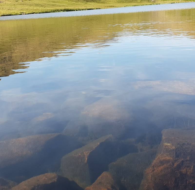
Keep exploring
Around Greendale Tarn and Middle Fell Walk
Within 50 km · approximate straight-line distances