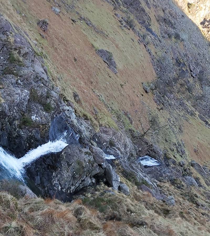
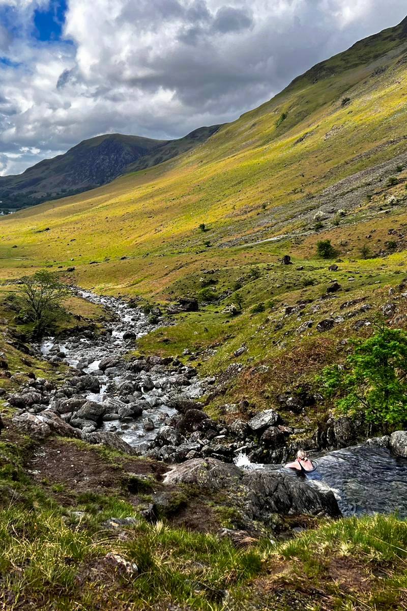
Warnscale Beck, near Buttermere, Lake District, Cumbria
Warnscale Beck
River
Place photograph
6.3
Wildland
Half day
Time
Check
Cost
Wild
Feel
Why it's Wildland
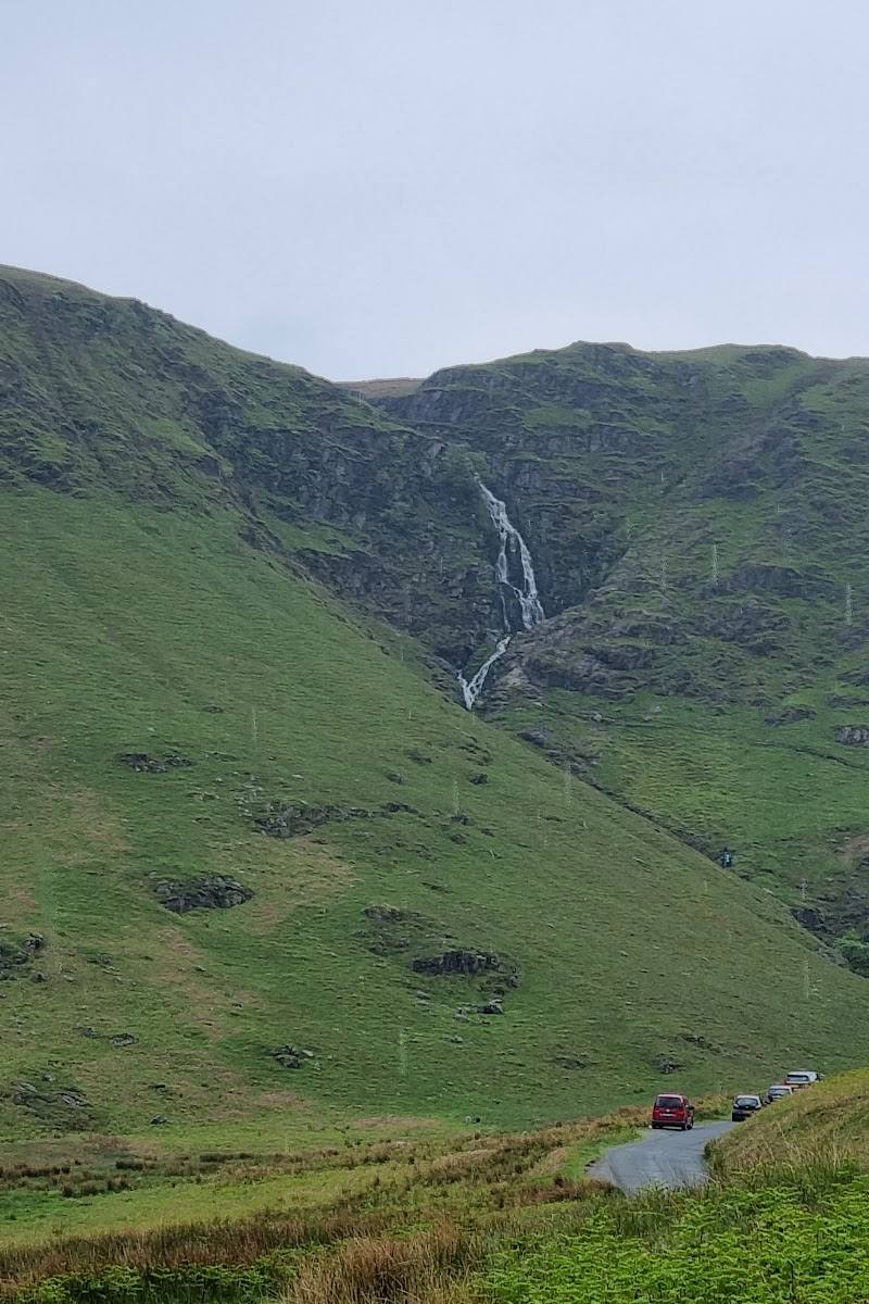
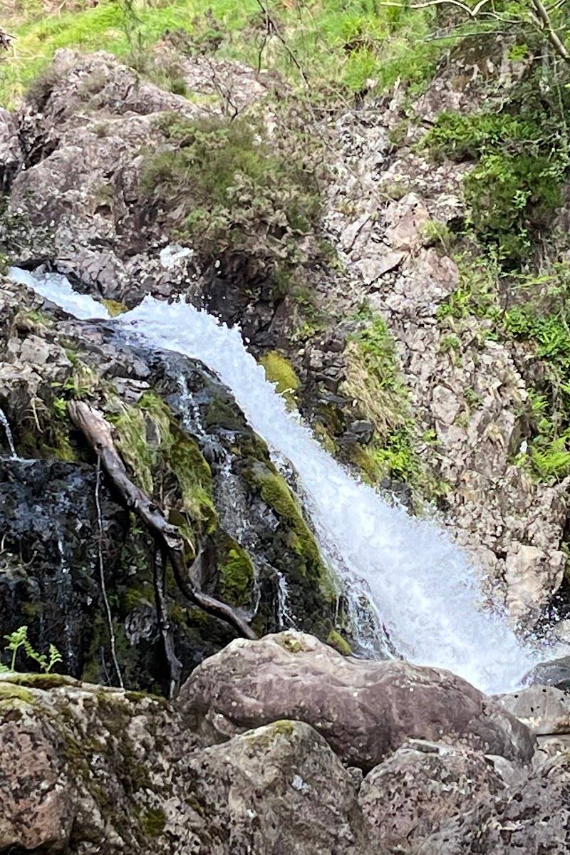
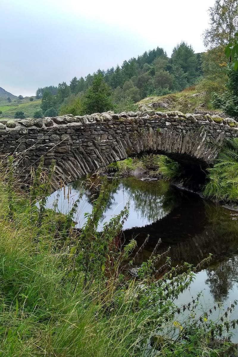
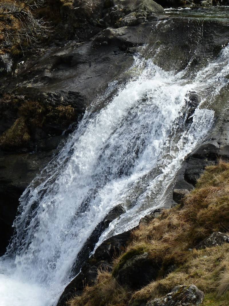
6.3A mountain beck above Buttermere draws walkers from the lakeshore towards a chain of pools, with the route also passing the historic Warnscale Bothy.
The appeal is the change of scale: from Buttermere’s familiar lakeshore, the walk climbs towards mountain streams, beck pools and a bothy tucked into the landscape. It offers a more exploratory feel than a simple lakeside stop, though the full route is a substantial outing.
Wild · Dramatic
Find your way
Open mapWarnscale Beck, near Buttermere, Lake District, Cumbria
Opening map…
Know this place a little better?
The experience
The supplied route description describes an out-and-back walk from near Buttermere along the lakeshore and uphill to Warnscale Beck Pools, returning with elevated valley views. It is rated moderate and takes an estimated 2.5–3 hours.
Things to do
Walk from Buttermere to Warnscale Beck Pools
Follow the described out-and-back route from near Buttermere along the lakeshore and uphill towards the beck pools. The route is rated moderate and includes a reported scramble on the ascent.
2.5–3 hours
Look for Warnscale Bothy
The route description notes the historic bothy tucked into the landscape on the way towards the pools.
Make a day of it
Quick escape · 2.5–3 hours
Follow the beck to its pools
- 01
Start near Buttermere and follow the lakeshore section of the described route.
- 02
Continue uphill towards Warnscale Beck Pools and the historic Warnscale Bothy.
- 03
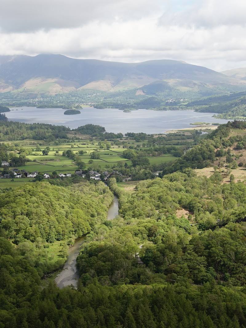
Return by the described route, taking in elevated views over the valley.
Verified history
The supplied route source describes Warnscale Bothy as historic, but provides no dates, provenance or further history.
Hidden details
Warnscale Bothy in the landscape — The route description says the historic Warnscale Bothy is tucked into the landscape; keep an eye out for it as you head uphill.
When to go
· No best time is established by the supplied sources. The AllTrails summary suggests arriving early to avoid busier areas near the pools.
The supplied sources do not give seasonal guidance.
Check current weather and path conditions before setting out; the described route climbs towards the hills and includes a reported scramble.
The route
- ascent
- 482 ft
- surface
- Not specified; the source mentions a scramble on the ascent.
- distance
- 6.9 miles
- duration
- 2.5–3 hours estimated
- difficulty
- Moderate
- route shape
- Out and back
- start point
- Near the edge of Buttermere; exact start point not specified.
- parking start
- Parking is reported near the trailhead; exact location and availability are not specified.
- Buttermere lakeshore
- Warnscale Beck Pools
- Warnscale Bothy
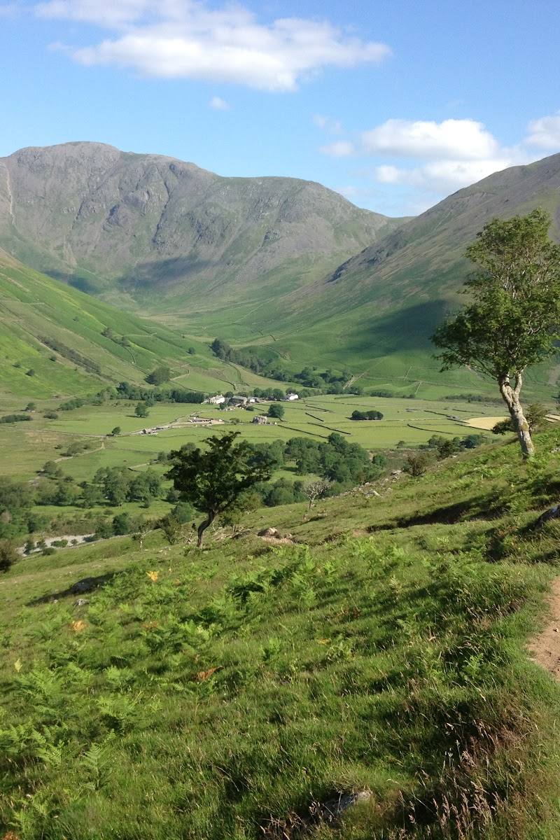
- Elevated views of the valley
What to look for
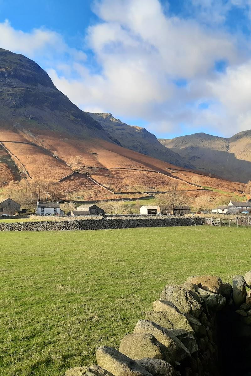
Look for the Warnscale Bothy tucked into the hillside landscape, the beck pools, and the changing views back towards Buttermere and the valley.
The story
None established by the supplied sources.
Best time to go
Not specified by the supplied sources; check conditions before setting out.
The supplied sources do not establish a best season or time of day. Check weather and path conditions before setting out; an AllTrails summary suggests arriving early to avoid busier periods near the pools.
How long to spend
Half day
Perfect for
Walkers · Photographers
Before you go
Address
Google rating
Practical information
Opening & access
A walking route from near Buttermere reaches the beck pools. Access rights and current path conditions are not confirmed; check before visiting and do not assume swimming is permitted. Access arrangements are unconfirmed. Check before visiting; do not enter private land or restricted structures.
Check before visiting
Parking
Parking is reported near the trailhead; location and availability are not specified. Check before visiting.
Check before visiting
Toilets
Check before visiting.
Check before visiting
Food & drink
A local café is reported near the trailhead; details are not specified. Check before visiting.
Check before visiting
Dogs
Check before visiting.
Check before visiting
Accessibility
The described route is 6.9 miles, rated moderate, with 482 ft of elevation gain and a reported scramble on the ascent. It may not suit visitors seeking an easy or step-free outing. Check current route conditions before setting out.
Check before visiting
Cost
Check before visiting.
Check before visiting
Water
River
Gallery
Place photographsKeep exploring
Around Warnscale Beck
Within 50 km · approximate straight-line distances