6.7
Wildland
1–2 hours to half day
Time
Check
Cost
Peaceful
Feel
Why it's Wildland
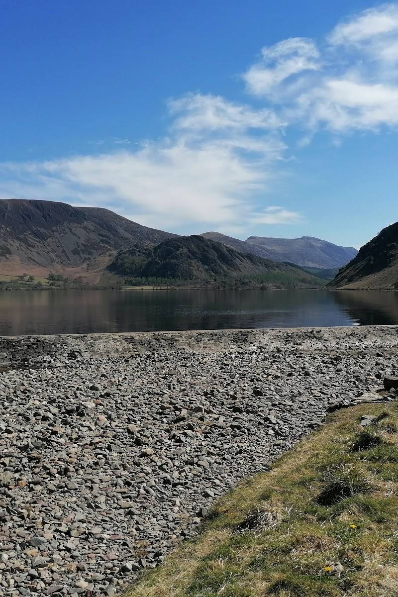
6.7A quieter corner of the Lake District where a lakeside path can lead into Holme Wood or upwards to open fellside views. Loweswater has a curious geographical distinction: its outflow runs west, unlike most of the Lake District’s lakes.
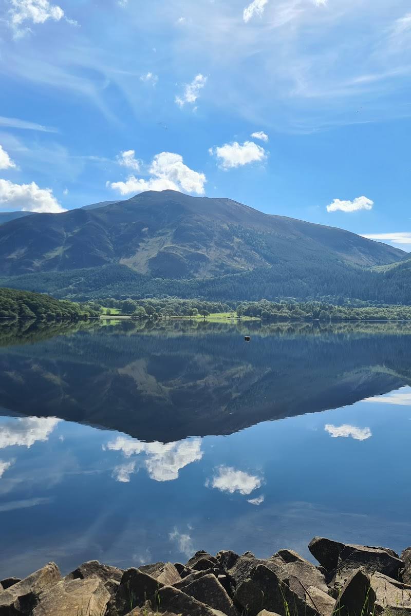
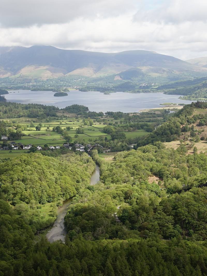
Loweswater earns its place for the contrast between still water, woodland and open fellside, with a choice of lakeshore paths and a higher balcony-like route. It offers a substantial landscape experience without relying on facilities or spectacle.
Peaceful · Wild · Atmospheric
Find your way
Open mapLoweswater, north-west Lake District, Cumbria
Opening map…
Know this place a little better?
The experience
Walk by the lakeshore, explore the paths through Holme Wood or take a higher route over the surrounding fells. The landscape also holds traces of its farming past, including a historic pinfold mentioned on a walk account.
Things to do
Walk the Loweswater loop
Follow the described loop from the Maggie’s Bridge area through farm pastures, over the fellside and back by Holme Wood and the lake. Check the route details and current conditions: it includes stiles and uneven terrain.
Half day
Choose the higher Holme Wood route
A steeper option climbs from the lakeside woodland towards the fellside and offers elevated views over Loweswater. Check for any path diversions or works before setting off.
Look for woodland birds and red squirrels
The cited loop guide describes Holme Wood as a red squirrel stronghold and notes woodland birds including flycatchers and green woodpeckers. Watch quietly, but treat sightings as a possibility rather than a promise.
Find the old pinfold
A walk account describes a preserved pinfold used to hold stray sheep until their owners paid a fine. It is a small, tangible reminder of the area’s farming history.
Make a day of it
Quick escape · 1–2 hours
Quick Escape: lakeside wander
- 01
Start from the Maggie’s Bridge area, checking parking and access first.
- 02
Choose a lakeside section of path and walk out-and-back, turning around when you have had your fill of the views.
- 03
Allow extra time for muddy or uneven ground and avoid assuming the whole shore is a continuous easy path.
Half day · Half day
Make a half day of it: lake, wood and fellside
- 01
Begin near Maggie’s Bridge and follow a sourced Loweswater loop route, checking the current route and access conditions.
- 02
Choose the lakeside path through Holme Wood or the higher route for broader views; the higher option includes steeper ground.
- 03
Pause to look across the lake and towards the surrounding fells, then return by the route you planned.
- 04
Finish with a stop in Loweswater village if the Kirkstile Inn is open and suits your plans.
Verified history
The surrounding landscape has a strong farming character. A walk account identifies a pinfold once used to hold sheep found on common land, and reports that records of its use date to 1655. The same account describes a farmhouse with a date stone of 1697. Loweswater’s unusual westward outflow is noted in the supplied source-row description, but is not independently substantiated by the cited research excerpts.
Hidden details
A remnant of common-land farming — The walk account points out a pinfold, a stone enclosure used to hold sheep found straying onto common land. It reports that records of its use go back to 1655.
A high-level balcony over the lake — The described loop climbs above the woods and crosses the fellside, opening up views across Loweswater and towards the surrounding fells.
When to go
April · May · September · October · A clear morning for walking and views; check the forecast and route conditions before setting out.
The supplied trail account reports bluebells in Holme Wood in spring. The trail guide describes the area’s woodland and lake landscape; the source-row description identifies autumn colour as a seasonal attraction.
Fellside paths can be exposed and conditions can change quickly. Check the forecast, path conditions and any route diversions before departure; bring suitable footwear and clothing.
The route
- stiles
- The AA route description includes ladder stiles; it notes adjacent gates at stiles.
- surface
- Paths, tracks, farm pasture and some tarmac lane; a separate walk account describes a lakeside dirt path and road sections.
- distance
- The cited AA loop does not state a distance in the supplied excerpt. A separate walk account describes an easy route of about 4 miles and a longer option of about 6 miles; verify before relying on these figures.
- difficulty
- Moderate for the described loop; the higher option includes a climb and the route includes stiles.
- waymarking
- Check the route description and current on-site signs; waymarking is not confirmed by the supplied route excerpt.
- route shape
- Loop
- start point
- Maggie’s Bridge car park area, Loweswater.
- parking start
- The AA route identifies Maggie’s Bridge car park and advises arriving early. Check current parking arrangements.
- shorter alternative
- Walk a short out-and-back section of lakeside path rather than attempting the full loop; confirm access and conditions locally.
- Lakeside paths and views across Loweswater
- Holme Wood
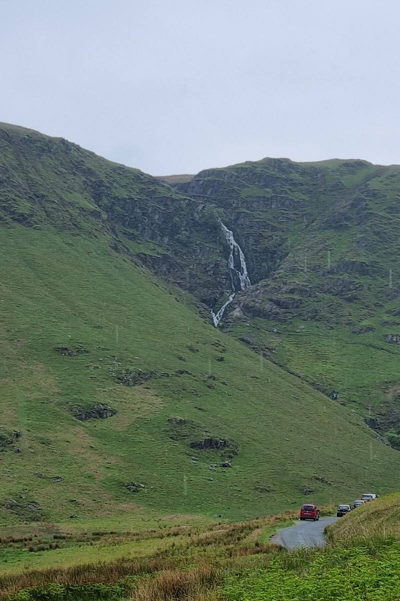
- A higher fellside route with wider views
- Farm pastures and the historic landscape
Worth pairing with
Loweswater village and the Kirkstile Inn
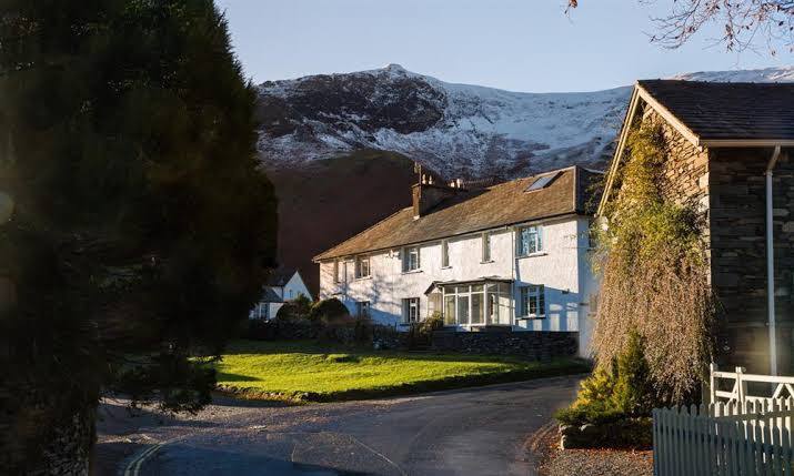
The walk guide describes the village around its inn, church and village hall. The inn may suit a post-walk stop; check current opening and food details before travelling.
What to look for
Look for the changing views across the lake from the higher paths, woodland flowers in spring and the historic pinfold described on the eastern-side walk. The sourced loop account also notes red squirrels and woodland birds, though sightings are not guaranteed.
The story
Agricultural landscape
Best time to go
Spring and autumn
Spring and autumn are described as quieter seasons. Spring brings woodland bluebells on the reported Holme Wood route; autumn colours the surrounding woods. Check path conditions before travelling, as works or diversions may affect routes.
How long to spend
1–2 hours to half day
Perfect for
Walkers · Photographers · Wildlife lovers · Families
Practical information
Opening & access
Paths and tracks reach the lakeshore and surrounding fells. Some routes include steep sections, farm tracks, stiles and stretches of quiet road; check current path conditions and access before setting out. Access arrangements are unconfirmed. Check before visiting; do not enter private land or restricted structures.
Check before visiting
Parking
Maggie’s Bridge car park is identified as a walk starting point; parking is limited, so check current arrangements and arrive early.
Check before visiting
Toilets
Check before visiting; the cited loop route lists no toilets en route.
Check before visiting
Food & drink
The Kirkstile Inn is mentioned in the nearby village. Check opening and food details before visiting.
Check before visiting
Dogs
The cited loop route says dogs should be on leads except in Holme Wood. Check local signs and current guidance.
Check before visiting
Accessibility
Some paths may be uneven or steep, and routes can include stiles and road walking. Not all trails are suitable for visitors with mobility needs; check route conditions before setting out.
Check before visiting
Cost
Check before visiting
Check before visiting
Water
Lake
Gallery
Place photographsKeep exploring
Around Loweswater
Within 50 km · approximate straight-line distances