Bloodgate Hill, near South Creake, Norfolk, NR21 9LZ
Bloodgate Hill Iron Age Fort
Fort
Source image
5.0
Wildland
Under 1 hour
Time
Check
Cost
Peaceful
Feel
Why it's Wildland
5.0A circular Iron Age fort once stood here, with a great bank and ditch enclosing several acres. Its earthworks have been reduced over time, but the site’s position still explains its appeal: views east across the Burn Valley and north towards the sea.
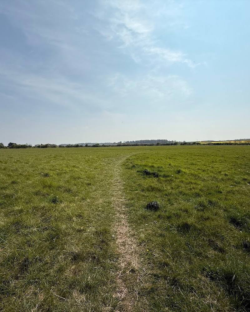
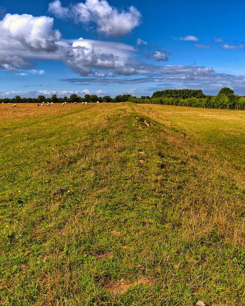
Bloodgate Hill is a quiet encounter with a rare piece of Norfolk’s prehistoric landscape. The fort is not a dramatic ruin: its banks are easy to miss, which makes the Trust’s guide and the open views across the surrounding countryside part of the visit.
Peaceful · Atmospheric
Find your way
Open mapBloodgate Hill, near South Creake, Norfolk, NR21 9LZ
Opening map…
Know this place a little better?
The experience
Allow a short visit to walk around the fort’s enclosure, read the site guide and take in the views. The earthwork is subtle rather than monumental, so a little context makes a difference.
Things to do
Trace the fort’s circular enclosure
Use the Norfolk Archaeological Trust’s guide to make sense of the earthworks; their outlines can be subtle on the ground.
20–30 minutes
Look across the Burn Valley
From within the enclosure, look east across the valley and north towards the sea—the views offer clues to the fort’s position in the landscape.
10 minutes
Make a day of it
Quick escape · Under 1 hour
Walk the hillfort and take in the views
- 01
Arrive during daylight and follow the site’s access path into the enclosure.
- 02
Use the Norfolk Archaeological Trust guide to help identify the fort’s subtle earthwork layout.
- 03
Pause for the eastward view across the Burn Valley and the northward view towards the sea.
Half day · Half day
Add South Creake to your visit
- 01
Visit Bloodgate Hill Fort during daylight and explore the enclosure with the Trust’s guide.
- 02
Continue to South Creake village, about 1 km away according to the Trust.
- 03
Check locally for a pub or other refreshments before making this an extended outing.
Verified history
Bloodgate Hill is the site of an Iron Age hillfort, with evidence of activity reaching back to the Late Neolithic or Early Bronze Age. The Norfolk Archaeological Trust describes an outer bank once around four metres high and a ditch of similar depth. The Norfolk Heritage Explorer records a single banked and ditched enclosure with a large central ring ditch; excavations in 2003 found that the ditch had been recut after its initial construction. The fort’s earthworks were substantially reduced over time, and the Trust now protects the site. The meaning of “Bloodgate” is unknown.
Folklore & legend
No specific local legend is established by the supplied sources. The origin of the name “Bloodgate” is unknown; it should not be treated as evidence of a bloody event.
Hidden details
The central ring ditch — The Norfolk Heritage Explorer identifies a large central ring ditch within the enclosure. Use the site guide to help interpret this feature, which may not be obvious at ground level.
A ditch altered after the fort was built — Excavations in 2003 indicated that the hillfort ditch was recut after its original construction—a reminder that the earthwork changed during its use.
When to go
· Daylight; choose a clear spell if you want the best chance of seeing the surrounding landscape.
The Norfolk Archaeological Trust states that the site is open to the public during daylight hours. The supplied sources do not identify a particular best season.
The site’s earthworks can be difficult to make out. Visibility across the landscape depends on weather; check ground conditions before visiting.
Worth pairing with
South Creake village
About 1 km from the fort, according to the Norfolk Archaeological Trust. The Trust notes that a pub and other refreshment places may be found in the village; check what is currently open.
What to look for
Look for the faint line of the circular bank and ditch, the central ring ditch described in the Norfolk Heritage Explorer record, and the open views from the enclosure. The site’s earthworks are subtle, so use the Trust’s guide to help interpret the layout.
The story
Prehistoric archaeology; Iron Age hillfort
Best time to go
Daylight visits are possible throughout the year; check current access and ground conditions before setting out.
Visit in daylight. The Trust describes views east across the Burn Valley and north towards the sea; visibility will depend on weather.
How long to spend
Under 1 hour
Perfect for
History lovers · Walkers · Families
Before you go
Address
Google rating
Practical information
Opening & access
Open to the public during daylight hours, according to the Norfolk Archaeological Trust. The fort is a largely level earthwork, so its outlines can be subtle on the ground. Check current access arrangements before travelling.
Check before visiting
Parking
The Norfolk Archaeological Trust reports a small visitors’ car park. The supplied map pin is a main-place pin, not a verified entrance or parking point; check directions before travelling.
Check before visiting
Toilets
No toilets on site, according to the Norfolk Archaeological Trust.
Food & drink
The Trust says a pub and other refreshment places may be found in South Creake village. Check current opening and availability.
Check before visiting
Dogs
Dogs, except assistance dogs, are excluded from 1 April to 1 November inclusive. At other times they must be kept on leads; a dog-waste bin is provided.
Accessibility
The Norfolk Archaeological Trust reports a wheelchair-friendly gateway and path. Confirm current conditions and suitability for your needs before visiting.
Cost
Check before visiting
Check before visiting
Water
None identified.
Gallery
Place photographsKeep exploring
Around Bloodgate Hill Iron Age Fort
Within 50 km · approximate straight-line distances
 Place photograph6.8
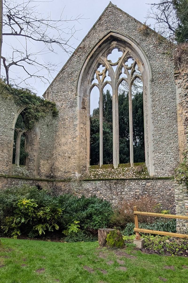
Creake Abbey
Burnham Road, North Creake, near Fakenham, Norfolk NR21 9LF
4.2 km away
 Source image6.0
Warham Camp Iron Age Fort
Warham, near Wells-next-the-Sea, Norfolk, NR23 1NJ
10.8 km away