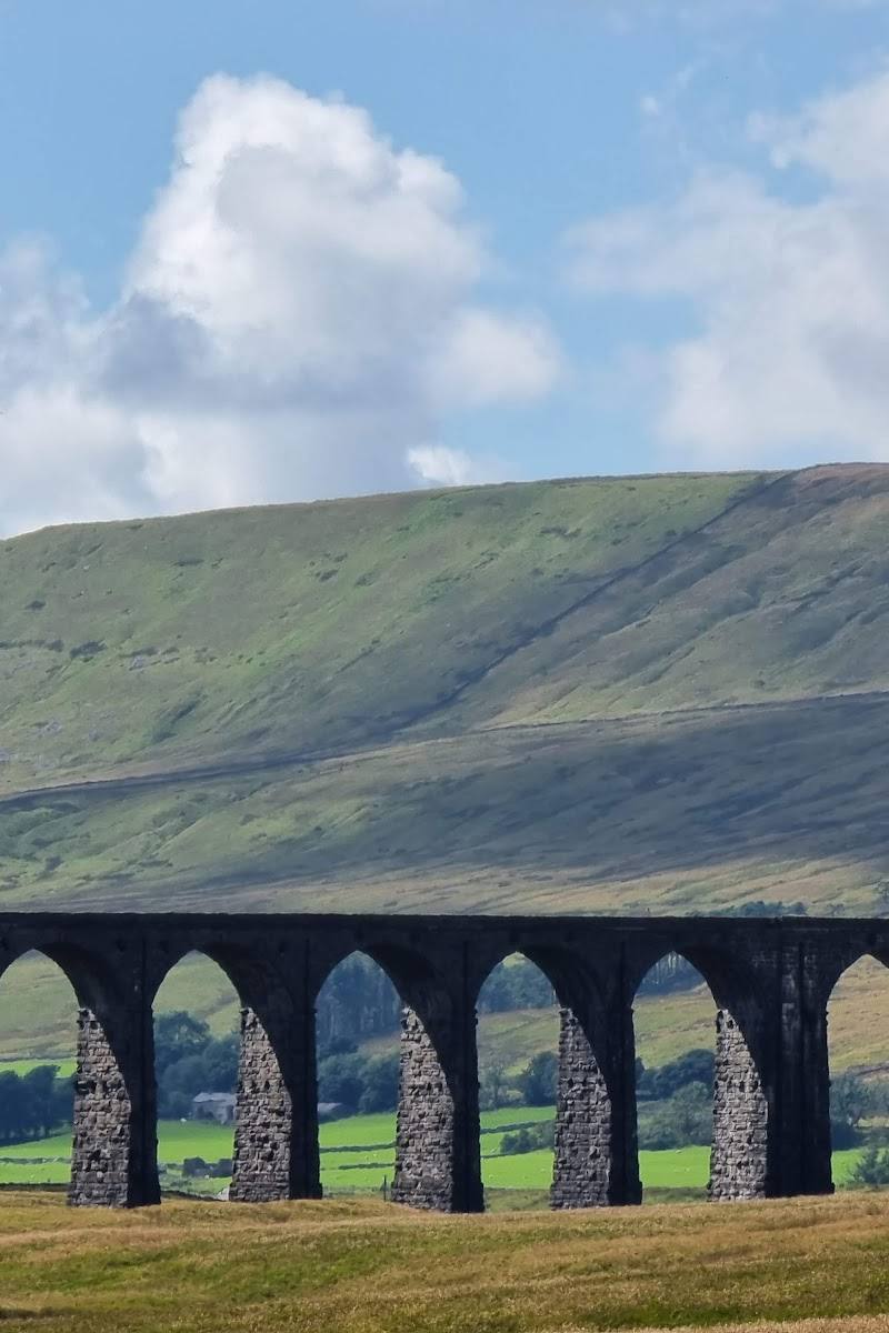
Yorkshire Dales, centred on the supplied Google coordinates near Hawes, North Yorkshire
Yorkshire Dales National Park
Mixed-habitat reserve
Place photograph
8.0
Wildland
Full day, Weekend, Multi-day
Time
Check
Cost
Dramatic
Feel
Why it's Wildland
8.0More than 680 square miles of distinct dale landscapes: limestone features, waterfalls, open hills and villages form a varied Pennine landscape.
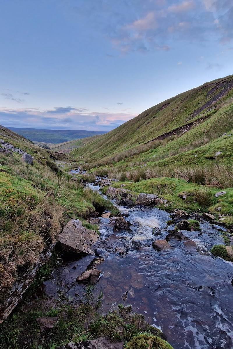
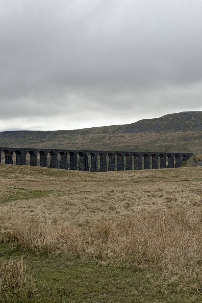
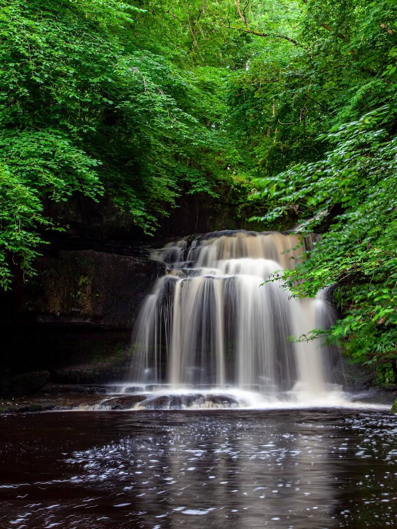
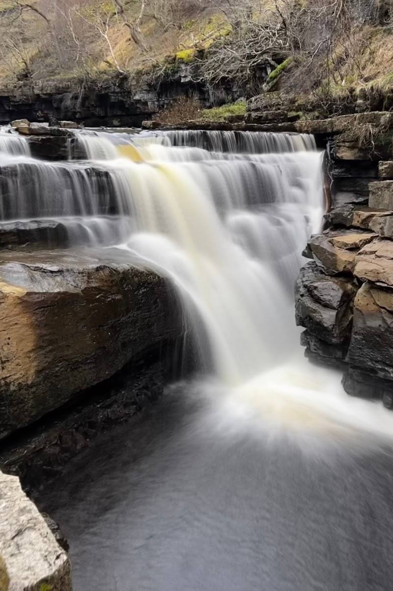
The Dales stand out for their scale and changing character: dramatic limestone scenery and waterfalls sit alongside quieter valleys, rolling hills and lived-in villages. This is a region to explore over time, not a single viewpoint to tick off.
Dramatic · Peaceful · Big-sky · Wild
Find your way
Open mapYorkshire Dales, centred on the supplied Google coordinates near Hawes, North Yorkshire
Opening map…
Know this place a little better?
The experience
Choose a specific dale or landmark before you go: the National Park is too extensive for one practical circuit. Malham offers a sourced example of a five-mile walk linking Janet’s Foss, Gordale Scar and Malham Cove; other areas need their own route research.
Things to do
Walk between Malham’s landscape highlights
A supplied visitor guide describes a five-mile walk from Malham linking Janet’s Foss, Gordale Scar and Malham Cove. Verify the route, conditions and access before setting out.
Five-mile walk; time not established by the source
See the limestone pavement at Malham Cove
Look across the distinctive limestone pavement and the cove’s dramatic rock face; the supplied guide identifies both as highlights.
Make a day of it
Quick escape · 1–2 hours
A first taste of the Dales
- 01
Choose one named dale, village or landscape feature rather than trying to cover the National Park as a whole.
- 02
Check current access, parking and route details for that specific starting point.
- 03
Walk a short section, taking time to notice the contrast between valley, hills and settlement.
Half day · Half day
Make a half day of Malhamdale
- 01
Start in Malham and follow the sourced five-mile walking route, checking current route and access information first.
- 02
Visit Janet’s Foss and Gordale Scar on the way towards Malham Cove.
- 03
Pause at the cove to see its limestone pavement and views before returning by your chosen route.
When to go
· Check the chosen route and local conditions; no specific time of day is verified by the supplied research.
The available sources describe landscapes and walks but do not establish reliable seasonal highlights or peak dates.
Check the forecast and route conditions before walking; no specific local weather guidance is established by the supplied research.
Worth pairing with
Malham village and Malhamdale highlights
A sourced walk from Malham connects Janet’s Foss, Gordale Scar and Malham Cove, making these a coherent half-day pairing. Verify current access and route conditions.
What to look for
Notice how the landscape changes between limestone features, waterfalls, open hills, valley farmland and villages. At Malham, the supplied research identifies the limestone pavement at Malham Cove as a distinctive feature.
Best time to go
Spring to autumn for longer days and a broad choice of walks; individual highlights vary by season and weather.
Spring to autumn is a useful broad planning window for walking, but check local conditions and the specific destination. The supplied research does not verify exact seasonal peaks.
How long to spend
Full day, Weekend, Multi-day
Perfect for
Walkers · Photographers · History lovers · Wildlife lovers · Families
Before you go
Phone
Website
Listed hours
- Monday: 8:30am-5pm
- Tuesday: 8:30am-5pm
- Wednesday: 8:30am-5pm
- Thursday: 8:30am-5pm
- Friday: 8:30am-4:30pm
- Saturday: Closed
- Sunday: Closed
Check before visiting.
Google rating
Practical information
Opening & access
A National Park covering a broad area of the Pennines, with dales and villages rather than a single entrance or visitor route. Check local access, transport and conditions before setting out.
Check before visiting
Parking
No single National Park car park or start point is established by the supplied evidence. Check the chosen walk or destination before travelling.
Check before visiting
Toilets
Check before visiting
Check before visiting
Food & drink
Check before visiting
Check before visiting
Dogs
Check before visiting; follow local signs and livestock and wildlife guidance.
Check before visiting
Accessibility
The source row lists a wheelchair-accessible car park and entrance for this Google place, but does not identify the facility or establish accessibility across the wider National Park. Check before visiting.
Check before visiting
Cost
Check before visiting
Check before visiting
Water
Rivers and waterfalls are mentioned in the supplied research, but no specific water access or permitted activity is established.
Gallery
Place photographs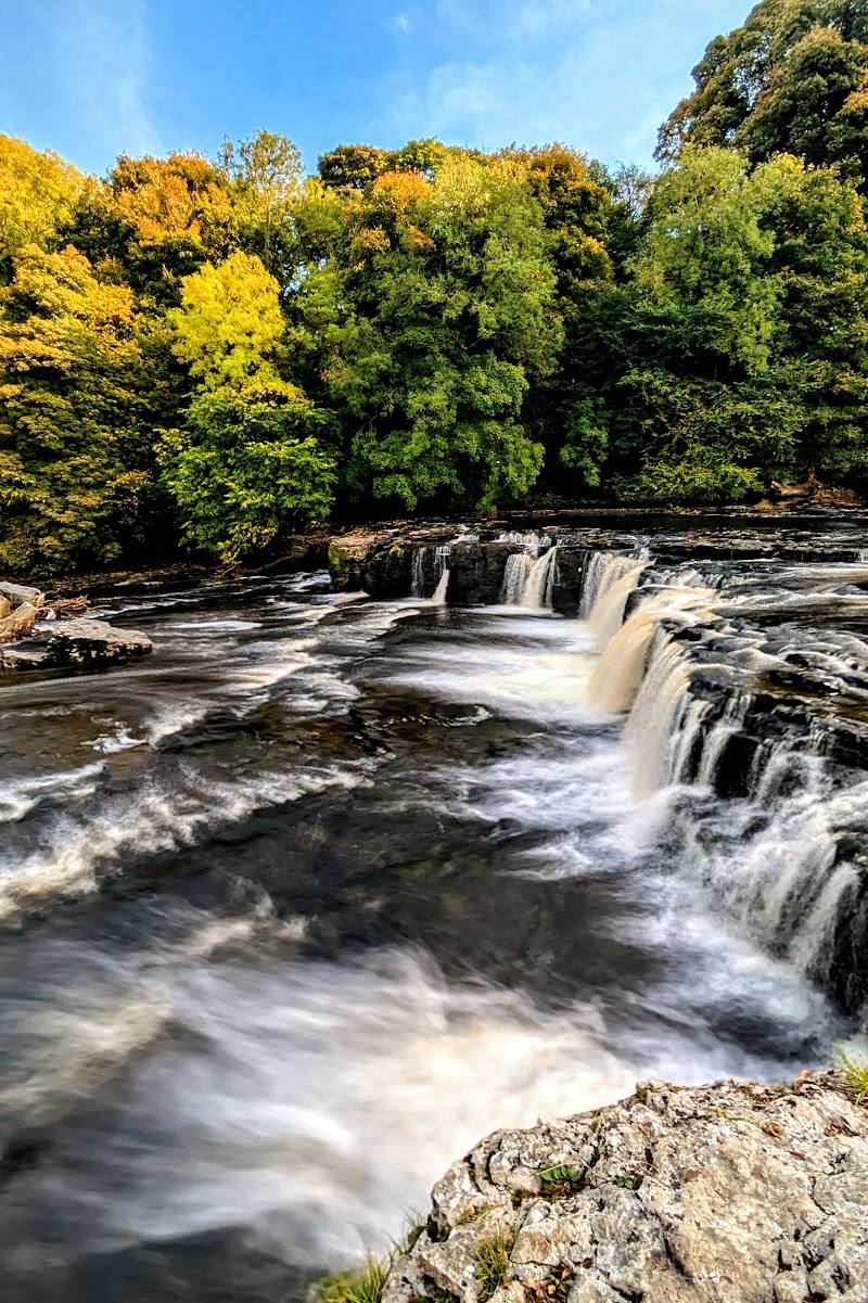
Keep exploring
Around Yorkshire Dales National Park
Within 50 km · approximate straight-line distances