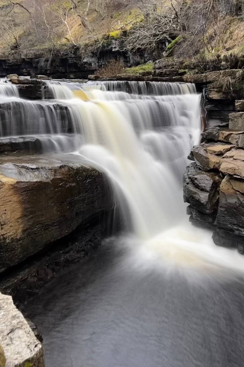
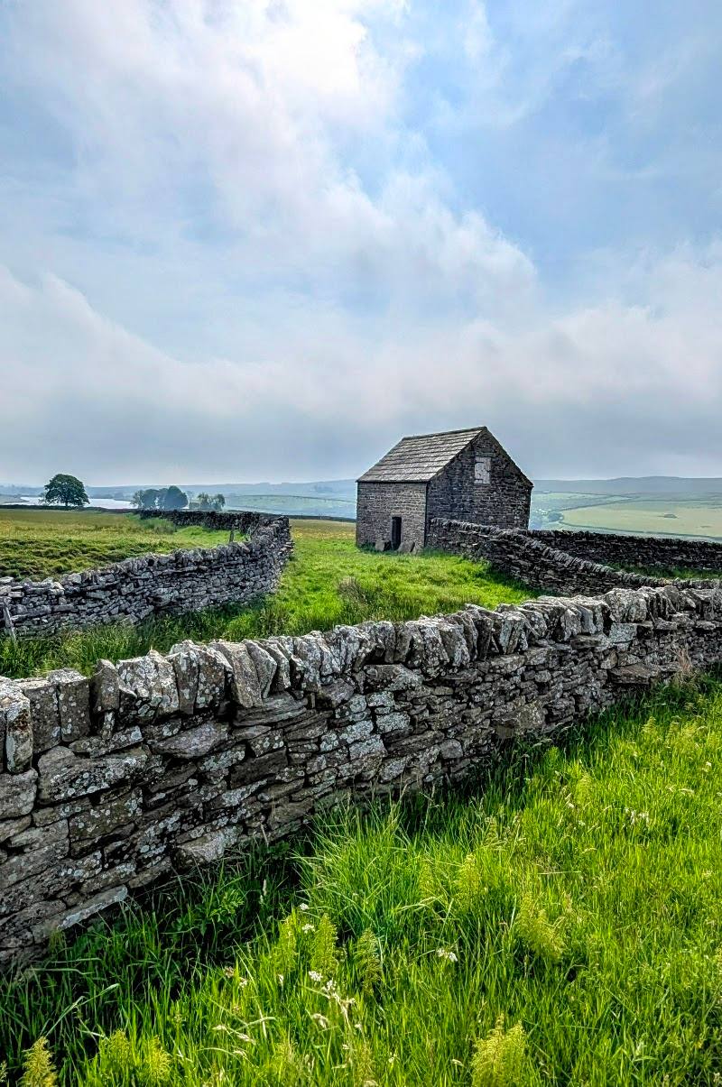
High moorland between Hawes in Wensleydale and Thwaite in Swaledale, Yorkshire Dales
Buttertubs Pass
route · Leisure cycling
Place photograph
7.7
Wildland
1–2 hours
Time
Check
Cost
Dramatic
Feel
Why it's Wildland
7.7A high road over the moors where a Tour de France climb and a cluster of deep limestone potholes share the summit.
Buttertubs Pass earns its place for the way it joins two contrasting Yorkshire Dales and makes the landscape itself the experience: a high moorland crossing, broad valley views and unusual limestone potholes at the top. It is a scenic road journey, not a waymarked walking trail.
Dramatic · Big-sky · Wild
Find your way
Open mapHigh moorland between Hawes in Wensleydale and Thwaite in Swaledale, Yorkshire Dales
Opening map…
Know this place a little better?
The experience
Cross the high ground between Wensleydale and Swaledale by road or bicycle, pause at the summit pull-ins and look at the limestone potholes. Cyclists can take on the climb; the pass is also a scenic drive. Treat the butter-storage account as a local story rather than established fact.
Things to do
Cross the high road
Drive between Hawes and Thwaite over the high moorland separating Wensleydale and Swaledale. Pull in only at a safe, permitted place.
Check before setting out
Cycle the Buttertubs climb
Take on the well-known climb over the pass. It featured as a King of the Mountains climb in the 2014 Tour de France; plan for the ascent and check conditions before riding.
See the summit potholes
Visit the limestone potholes beside the summit pull-in area. Keep a safe distance from their edges.
Take in the views between the dales
Pause at a safe summit pull-in to look across the high moorland and surrounding valleys.
Make a day of it
Quick escape · Under 1 hour
Quick summit stop
- 01
Approach the summit on the road from Hawes or Thwaite.
- 02
Use a summit pull-in only where safe and permitted; do not obstruct the road.
- 03
See the limestone potholes and take in the high-ground views.
- 04
Keep well back from pothole edges.
Half day · Check before setting out
Ride the pass between the dales
- 01
Plan a cycling crossing between Hawes and Thwaite, checking route conditions and your own ability before departure.
- 02
Allow time for the steep climb and a safe stop at the summit.
- 03
Look at the limestone potholes and the views across the high moorland.
- 04
Arrange your return or onward transport in advance; no transport timetable is evidenced here.
Verified history
Buttertubs Pass featured as the second King of the Mountains climb on Stage One of the 2014 Tour de France Grand Depart. The Yorkshire Dales National Park says German rider Jens Voigt was first over the top and went on to secure the opening polka-dot jersey. The limestone potholes are natural formations: Britain Express describes them as shafts formed as mildly acidic rainwater gradually dissolved Carboniferous limestone.
Folklore & legend
Local story says farmers carrying butter to market in Hawes lowered it into the summit potholes to keep it cool on hot days. The Yorkshire Dales National Park presents this as a story, not a verified account of how the name originated.
Hidden details
The name’s butter story — Look into the potholes and consider the local tale that farmers used them to cool butter on the way to Hawes market. Treat it as local lore; the National Park source says the story goes that this happened.
A Tour de France climb — The pass was part of Stage One of the 2014 Tour de France Grand Depart. Jens Voigt was first over the summit and secured the opening polka-dot jersey.
Fluted limestone shafts — The potholes are natural limestone formations. Britain Express reports that some are up to 24 metres deep; keep well back from the edges.
When to go
May · June · July · August · September · Choose a clear period for the views and a quieter time if you want to stop safely. No specific time-of-day guidance is evidenced.
The supplied source row recommends late spring to early autumn, when conditions are more likely to be mild and the landscape greener. Winter snow and ice may make the road difficult or impassable; check conditions before travelling.
This is a high moorland road. The supplied source row warns that winter snow and ice can make it treacherous or impassable. Check the forecast and current road conditions before setting out.
The route
- surface
- Road surface; current condition not evidenced.
- distance
- The pass is described as 5.5 miles between Thwaite and Hawes by Britain Express; confirm the distance for your chosen direction and start.
- difficulty
- Challenging climb for cyclists; steep inclines are described in the supplied source row.
- route shape
- Point-to-point road crossing between Hawes and Thwaite.
- start point
- Hawes or Thwaite, depending on direction.
- parking start
- The Yorkshire Dales National Park identifies pull-in places at the summit. Parking availability at either endpoint is not evidenced; check before setting out.
- shorter alternative
- Drive to a safe summit pull-in, see the potholes and return; do not stop where it would obstruct traffic.
- High moorland crossing between Wensleydale and Swaledale
- Summit limestone potholes
- Views across surrounding valleys and fells
- 2014 Tour de France King of the Mountains climb
Worth pairing with
Hawes
The National Park identifies Hawes as one end of the pass; the supplied source row notes dining options and amenities in the town. Check individual businesses and opening details before visiting.
Thwaite
The National Park identifies this hamlet in Swaledale as the other end of the pass, making it a natural endpoint for a crossing.
What to look for
At the summit, look for the limestone potholes whose fluted edges and depth give the pass its name. The Yorkshire Dales National Park recounts the local story that farmers lowered butter into them to keep it cool on the way to market. Notice the change from Wensleydale to Swaledale across the high moorland.
The story
Local butter-cooling story; 2014 Tour de France
Best time to go
May–September is suggested for milder conditions and clearer sightseeing; check the forecast and road conditions, especially in winter.
The supplied source row recommends May–September for milder weather and sightseeing. Choose a clear day for valley views; check conditions before setting out.
How long to spend
1–2 hours
Perfect for
Cyclists · Photographers · Walkers · Groups
Route at a glance
Duration
1–2 hours
Terrain
Hills, Remote countryside
Parking / start
The Yorkshire Dales National Park says there are places to pull in at the summit. Parking is limited; check conditions and do not obstruct the road.
Practical information
Opening & access
A public road crossing high moorland, with places to pull in at the summit. The limestone potholes are beside the pass; take care around their edges. Check current road conditions before travelling.
Check before visiting
Parking
The Yorkshire Dales National Park says there are places to pull in at the summit. Parking is limited; check conditions and do not obstruct the road.
Check before visiting
Toilets
No toilets directly on the pass, according to the supplied source row. Check before visiting.
Check before visiting
Food & drink
No cafés or pubs directly on the pass, according to the supplied source row. Hawes is identified as a nearby town with dining options; check before visiting.
Check before visiting
Dogs
The supplied source row marks the pass dog-friendly, but gives no specific rules. Check current signage and keep dogs under control near the road and potholes.
Check before visiting
Accessibility
The road is accessible by vehicle, but the supplied source row describes the surrounding terrain as rugged and potentially challenging for people with mobility issues. No specific accessible facilities are evidenced.
Cost
Check before visiting
Check before visiting
Gallery
Place photographsKeep exploring
Around Buttertubs Pass
Within 50 km · approximate straight-line distances