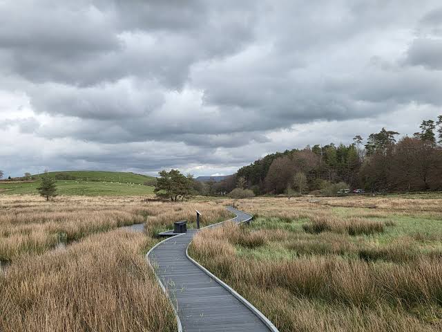
Horton-in-Ribblesdale, Yorkshire Dales National Park
Pen-y-ghent from Horton-in-Ribblesdale
route · Countryside walk
Place photograph
8.1
Wildland
Half day
Time
Check
Cost
Dramatic
Feel
Why it's Wildland
8.1A classic Yorkshire Dales circuit climbs from Horton-in-Ribblesdale to the stepped summit of Pen-y-ghent, then passes the striking Hunt and Hull Pots on the way back.
This is more than a summit tick: the route combines a distinctive limestone-and-grit peak, wide Dales views and the dramatic Hunt and Hull Pots in a clearly described circuit from the village.
Dramatic · Big-sky · Wild
Find your way
Open mapHorton-in-Ribblesdale, Yorkshire Dales National Park
Opening map…
The experience
Allow a half day for the 10km circular route from Horton-in-Ribblesdale. Climb via Brackenbottom Scar and the Pennine Way to the 694m summit, then return by Horton Scar Lane, visiting Hunt and Hull Pots on the way. The route has good paths, but hill weather can turn quickly.
Things to do
Climb Pen-y-ghent
Follow the classic circuit from Horton-in-Ribblesdale, climbing Brackenbottom Scar and the Pennine Way to the 694m summit.
10km circuit; walking time not specified
Visit Hunt and Hull Pots
Look out for these impressive pot features on the return leg of the classic circuit.
Make a day of it
Quick escape · Allow a half day; exact walking time is not supplied.
The classic Pen-y-ghent circuit
- 01
Start at Horton-in-Ribblesdale.
- 02
Climb via Brackenbottom Scar and join the Pennine Way for the ascent to the 694m summit.
- 03
Descend towards Hunt and Hull Pots.
- 04
Follow Horton Scar Lane back to Horton.
Hidden details
Hunt and Hull Pots — These striking features are easy to miss if you treat the walk as only a summit ascent; the National Park describes them on the way down.
When to go
May · June · July · August · September · October · Choose a clear-weather start that leaves enough time to complete the circuit in daylight; no specific time of day is evidenced.
The supplied source row recommends May to October, citing more predictable weather and less muddy trails. Winter ascents may involve snow or ice.
Conditions can become colder and windier higher up. Check the forecast and take suitable layers, waterproofs, footwear, food and drink; use a map and compass.
The route
- surface
- Good paths are described; surfaces may be rugged and conditions change with weather.
- distance
- 10km (6 miles)
- difficulty
- A hill walk with a summit ascent and rugged sections; check conditions and ensure the route suits your ability.
- waymarking
- The National Park describes the route via Brackenbottom Scar and the Pennine Way; detailed waymarking information is not supplied.
- route shape
- Circular
- start point
- Horton-in-Ribblesdale
- parking start
- Horton car park, BD24 0HF; Horton train station is close to the start.
- Brackenbottom Scar
- Pennine Way ascent
- 694m summit
- Hunt and Hull Pots
- Horton Scar Lane
- Panoramic views across the area
Worth pairing with
Horton-in-Ribblesdale
The circuit starts and finishes in the village. The National Park lists pubs for refreshments and Horton car park facilities.
What to look for
Notice Pen-y-ghent’s stepped profile on the approach, the broad views from the summit, and Hunt and Hull Pots on the descent.
Best time to go
Late spring to early autumn is suggested by the source row; winter conditions can bring snow or ice and require suitable experience and equipment.
Late spring to early autumn is the suggested season in the supplied source row. Start in good visibility and allow for colder, windier conditions higher up.
How long to spend
Half day
Perfect for
Walkers · Photographers · Families · Dogs
Route at a glance
Duration
Half day
Terrain
Hills, Valley
Parking / start
Horton car park, BD24 0HF; check current arrangements before travelling.
Practical information
Opening & access
A circular hill walk from Horton-in-Ribblesdale, climbing to the 694m summit. Conditions can change quickly; check the forecast and go suitably equipped.
Check before visiting
Parking
Horton car park, BD24 0HF; check current arrangements before travelling.
Check before visiting
Toilets
Public toilets are listed at Horton car park; check before visiting.
Check before visiting
Food & drink
The Yorkshire Dales National Park page lists pubs in Horton for refreshments. A café is also mentioned in the supplied source row; check current opening arrangements.
Check before visiting
Dogs
Dogs are mentioned in the supplied source row. Check current Yorkshire Dales National Park guidance and local signs before visiting.
Check before visiting
Accessibility
A rugged hill route with steep sections; the supplied source row says it is unsuitable for wheelchairs and people with limited mobility. Check current route conditions.
Check before visiting
Cost
Check before visiting
Check before visiting
Water
Hunt Pot and Hull Pot are features on the route; no swimming permission or activity is evidenced.
Gallery
Place photographsKeep exploring
Around Pen-y-ghent from Horton-in-Ribblesdale
Within 50 km · approximate straight-line distances
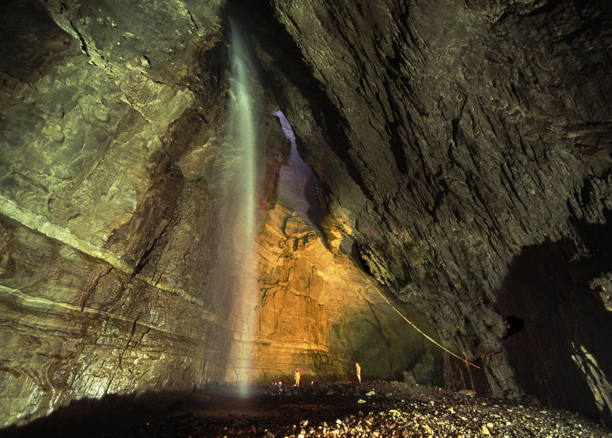
Janet's Foss
Near Malham, Yorkshire Dales National Park, North Yorkshire
13.2 km away
 Source image8.5
Kisdon Force
River Swale, 500 metres downstream from Keld, Swaledale, North Yorkshire
27.4 km away