Rhossili, Gower Peninsula, Swansea, Wales, SA3 1PR
Worm’s Head Causeway
route · Coastal walk
Place photograph
7.1
Wildland
Half day
Time
Check
Cost
Dramatic
Feel
Why it's Wildland
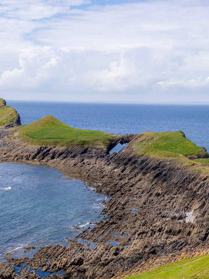
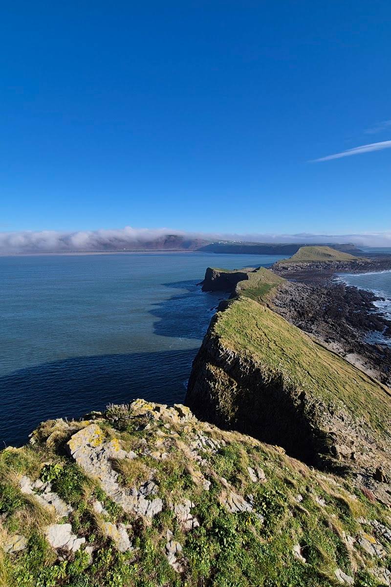
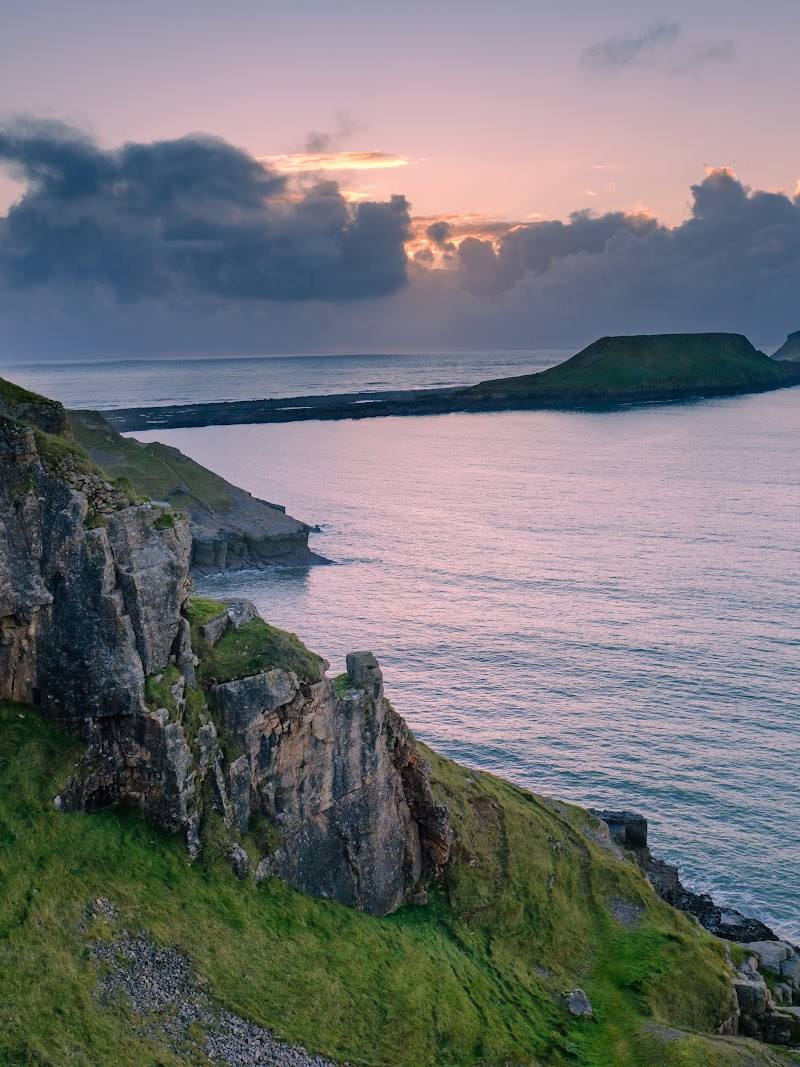
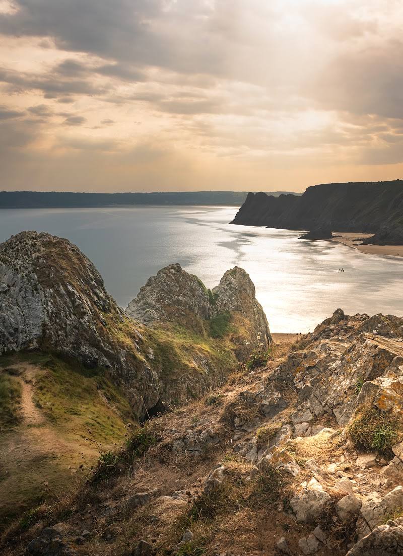
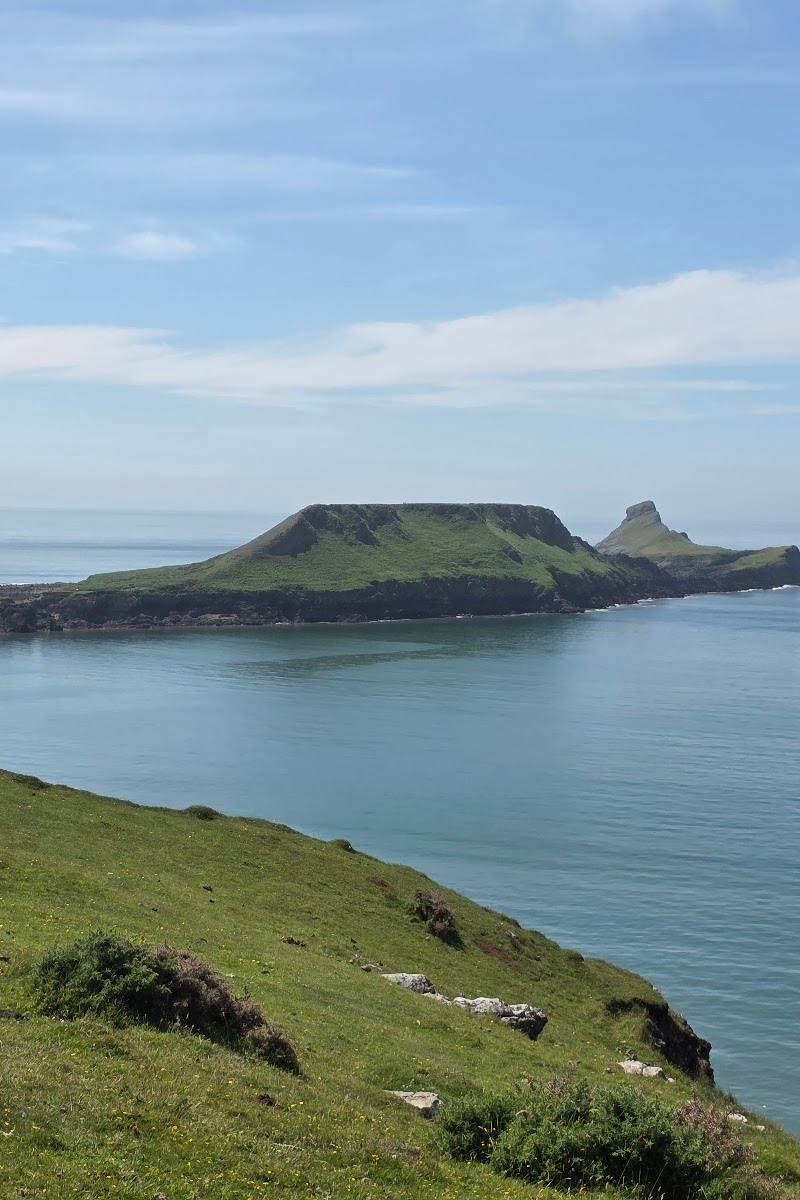
7.1At low tide, a rocky causeway emerges from Rhossili and leads across rock pools and linked limestone headlands towards the open sea. The reward is an adventurous coastal walk with far-reaching views — but the tide sets the timetable.
This is more than a cliff-top viewpoint: a tide-dependent crossing turns the coast itself into the route. Rocky reef, pools, a natural rock bridge and a final scramble make the walk feel like a genuine expedition, with the essential caveat that the tide window must govern every plan.
Dramatic · Wild · Atmospheric
Find your way
Open mapRhossili, Gower Peninsula, Swansea, Wales, SA3 1PR
Opening map…
Know this place a little better?
The experience
Walk from Rhossili towards the old coastguard station, then—only when conditions and tide permit—cross the rocky causeway to explore the linked headlands. The full out-and-back route is described as 7.5 km and 3–4 hours; expect rocky sections and a scramble near the tip.
Things to do
Walk the cliff path to the old coastguard station
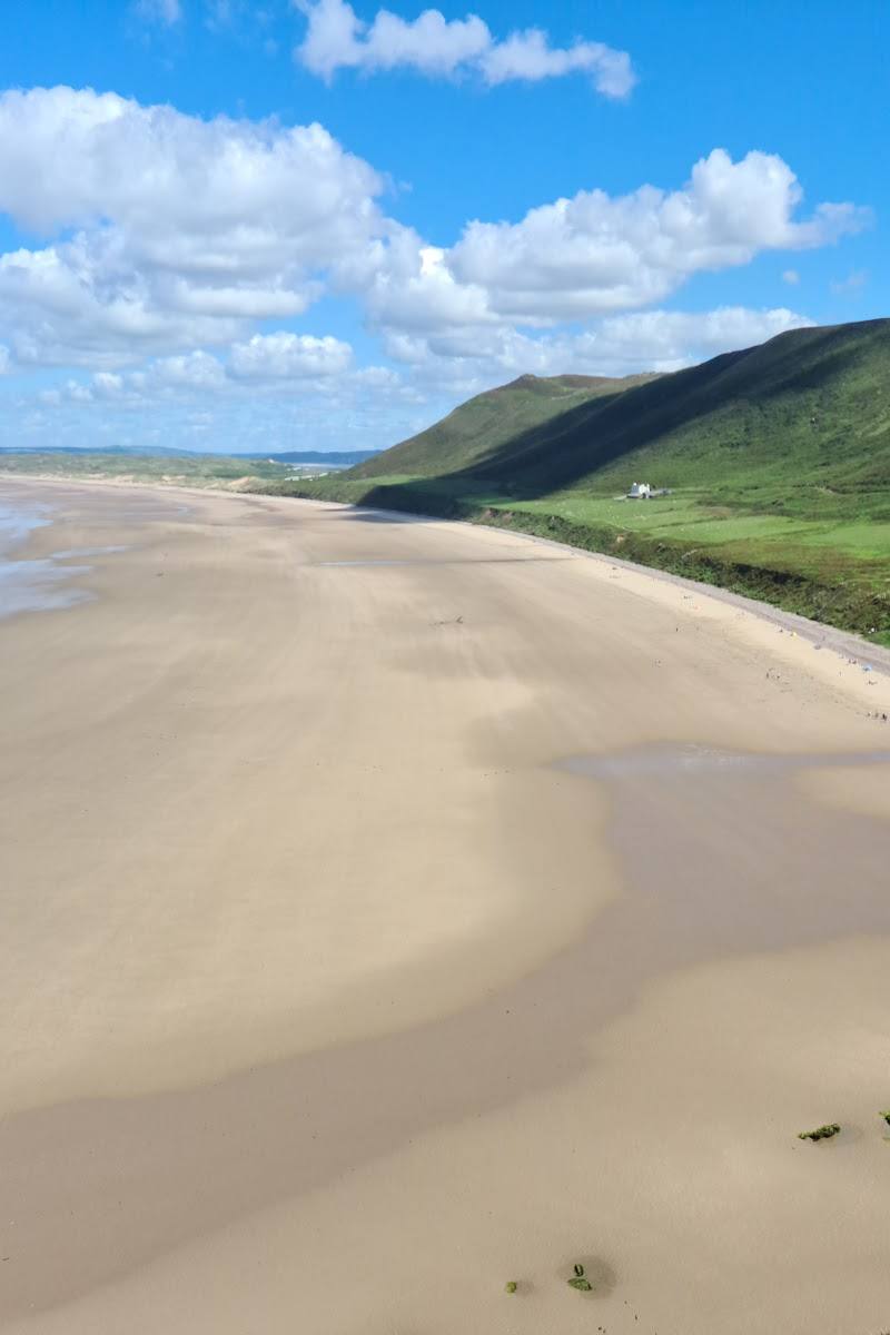
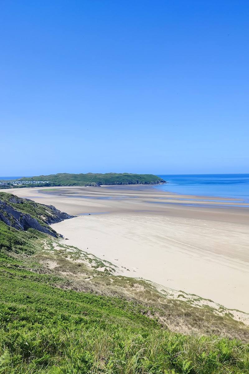
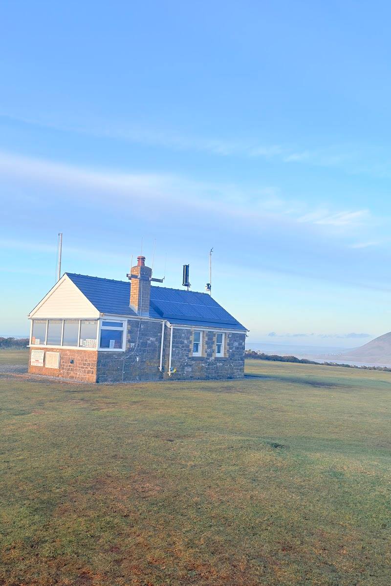
Follow the coastal approach from Rhossili towards the old coastguard station, with views across Rhossili Bay. The station is described as the approach point before descending to the causeway.
About 20 minutes from the car park, according to the supplied guide
Explore the rocky causeway and pools
When the tide allows, cross the rocky reef and look among the pools. The supplied accounts describe uneven, potentially slippery rocks; take care and do not attempt the crossing outside the safe window.
Around 10–20 minutes to cross, according to the supplied guide
Look for Devil’s Bridge
The route guide describes a natural rock bridge between parts of the headland. Approach only if the tide, weather and your footing make it safe.
Watch for seals from the headland
The supplied visitor accounts report seeing seals around the headland. Keep a respectful distance; sightings are not guaranteed.
Make a day of it
Quick escape · About 1–2 hours
Quick escape: the Rhossili cliff path
- 01
Start from the Rhossili National Trust car park identified in the supplied route guide.
- 02
Follow the coastal path towards the old coastguard station and take in the views over Rhossili Bay.
- 03
Turn back before the tidal crossing if tide times or conditions do not support a safe crossing.
Half day · About 3–4 hours for the full out-and-back walk
Make a half day of it: cross to Worm’s Head
- 01
Check current tide times and local notices before leaving; the causeway crossing is tide-dependent.
- 02
Walk from Rhossili towards the old coastguard station, then descend to the rocky causeway only within the safe tide window.
- 03
Cross the uneven causeway, explore only as far as conditions and your ability allow, and return with ample time before the crossing becomes unsafe.
- 04
Allow for rocky terrain and a scramble if continuing to the tip; turn back if the route is unsuitable.
Verified history
The supplied walking guides say the headland’s name derives from the Norse word “Wurm” or “wurme”, meaning dragon or serpent, and associate it with the feature’s shape. The supplied sources do not establish this as a fully verified historical account, so treat the naming explanation as reported rather than certain.
Folklore & legend
A supplied walking guide recounts a story that a booming, hissing blowhole in stormy weather helped convince Norse visitors that Worm’s Head resembled a sleeping dragon. This is presented as a reported legend, not established fact.
Hidden details
Devil’s Bridge — Look for the natural rock bridge described on the route between the headland sections. It is a striking route feature, but the approach is rocky and should only be made when conditions are safe.
Life in the rock pools — A visitor account reports seeing anemones, snails, fish and crabs in pools along the rocky crossing. Observe without disturbing wildlife, and do not let exploring delay your return across the causeway.
When to go
· Choose the departure time by checking the current tide information and allowing a generous return margin. Do not rely on a general rule in place of local tide guidance.
The supplied sources make tide and weather—not a particular season—the key planning considerations.
The supplied visitor accounts describe variable weather. Check the forecast and local conditions; wet or rough conditions may make exposed, uneven rocks more hazardous.
The route
- ascent
- 230 m elevation gain
- surface
- Coastal path, gravelly sections, rocky and uneven causeway
- distance
- 7.5 km out and back
- duration
- 3–4 hours
- difficulty
- Moderate; rocky sections and a scramble to the tip
- route shape
- Out and back
- start point
- Rhossili National Trust car park, according to the supplied route guide
- parking start
- The supplied route guide identifies the Rhossili National Trust car park as the start; verify current parking details before travelling.
- shorter alternative
- Walk the cliff path from Rhossili towards the old coastguard station and return without crossing the causeway.
- Views over Rhossili Bay
- Old coastguard station
- Tide-dependent rocky causeway
- Rock pools and reported fossils
- Devil’s Bridge
- Views from the headland
What to look for
- 01
Notice the rock pools and fossils along the crossing, the natural rock bridge known as Devil’s Bridge, and the changing views back towards Rhossili. The supplied accounts also report seal sightings
- 02
wildlife is not guaranteed.
The story
Folklore & legend
Best time to go
Check the tide and weather forecast before choosing a date; no particular season is established by the supplied sources.
Plan around the tide, not a fixed time of day. One route guide advises setting out an hour or two before low tide and states that the causeway is accessible for roughly 2.5 hours either side of low tide. Check current local tide information before attempting the crossing.
How long to spend
Half day
Perfect for
Walkers · Photographers · Wildlife lovers
Route at a glance
Duration
Half day
Terrain
Coastal, Dunes
Parking / start
A Rhossili National Trust car park is identified as the walk’s starting point by one supplied route guide. Check current parking arrangements and charges before travelling.
Before you go
Address
Listed hours
- Monday: 8am-6pm
- Tuesday: 8am-6pm
- Wednesday: 8am-6pm
- Thursday: 8am-6pm
- Friday: 8am-6pm
- Saturday: 8am-6pm
- Sunday: 8am-6pm
Check before visiting.
Google rating
Practical information
Opening & access
The causeway is tidal and the crossing is described as accessible only around low tide. Check current tide times and local notices before setting out; never attempt the crossing outside the safe window. The route includes uneven, rocky ground and scrambling on the final section to the tip. Check conditions before visiting.
Check before visiting
Parking
A Rhossili National Trust car park is identified as the walk’s starting point by one supplied route guide. Check current parking arrangements and charges before travelling.
Check before visiting
Toilets
Check before visiting.
Check before visiting
Food & drink
Check before visiting.
Check before visiting
Dogs
Check before visiting.
Check before visiting
Accessibility
Not suitable for everyone. The approach includes gravelly paths; the causeway and headland have uneven, rocky sections, and the final ascent to the tip requires scrambling. Check current conditions and whether the route suits your ability before setting out.
Check before visiting
Cost
Check before visiting.
Check before visiting
Water
Sea
Gallery
Place photographs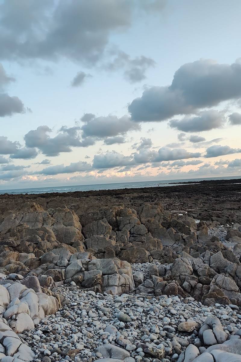
Keep exploring
Around Worm’s Head Causeway
Within 50 km · approximate straight-line distances