7.5
Wildland
Half day
Time
Check
Cost
Wild
Feel
Why it's Wildland
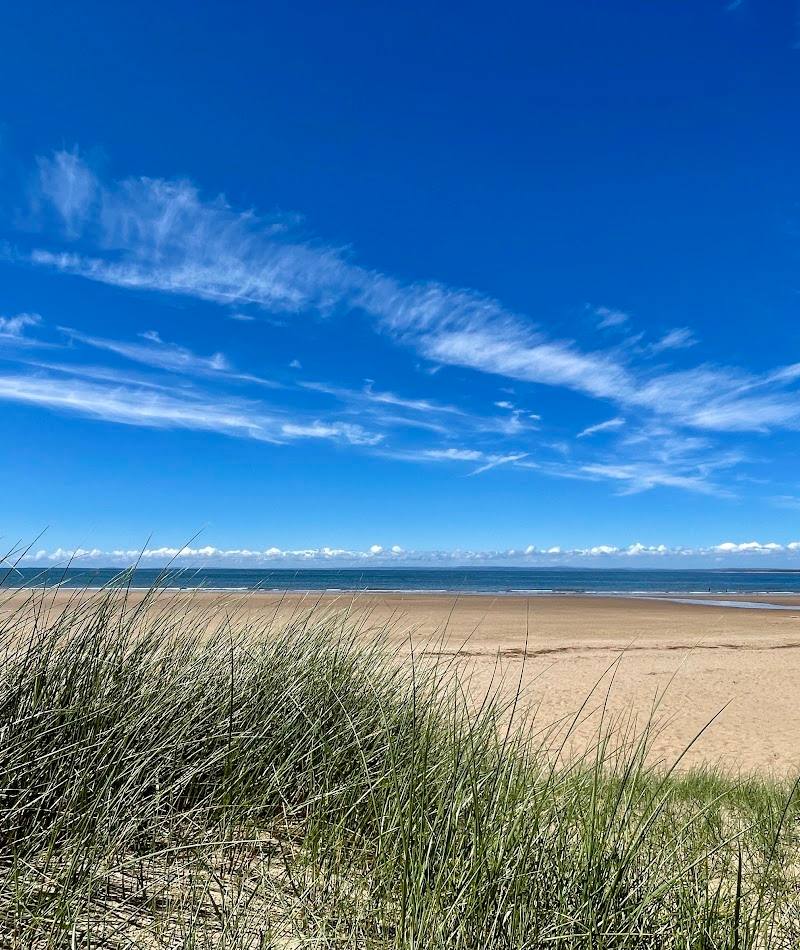
7.5A sweeping Gower beach backed by dunes and a tidal landscape, with Whiteford Lighthouse standing offshore as its striking landmark.
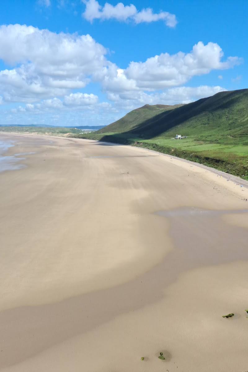
Whiteford is more than a beach walk: its long sands lead through dunes and reserve landscape towards an isolated cast-iron lighthouse. The tidal approach makes the lighthouse a rewarding but carefully timed objective, not a guaranteed stop.
Wild · Remote · Big-sky
Find your way
Open mapNorth Gower, near Llanmadoc, Swansea
Opening map…
Know this place a little better?
The experience
Walk through the coastal landscape to Whiteford Sands and, only when conditions allow, continue towards the lighthouse. The tidal estuary and unstable causeway make tide-checking essential.
Things to do
Walk the dunes and beach
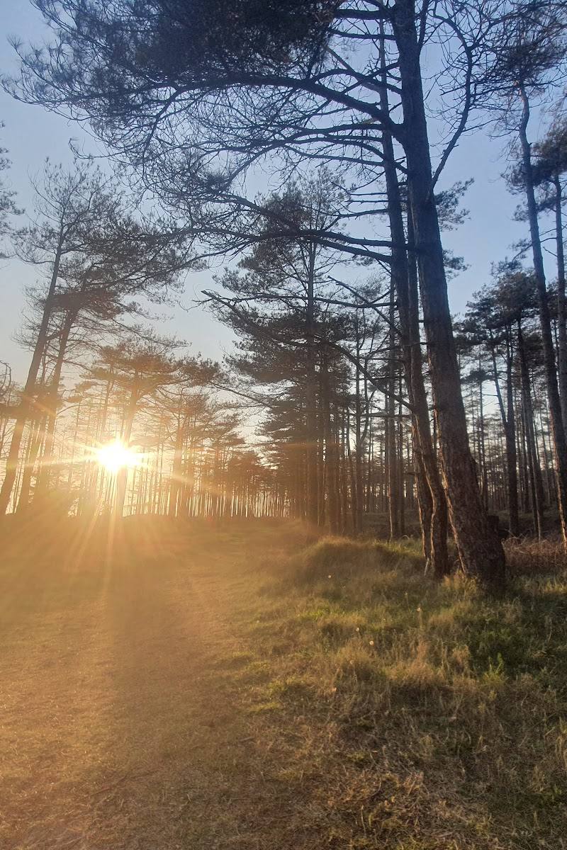
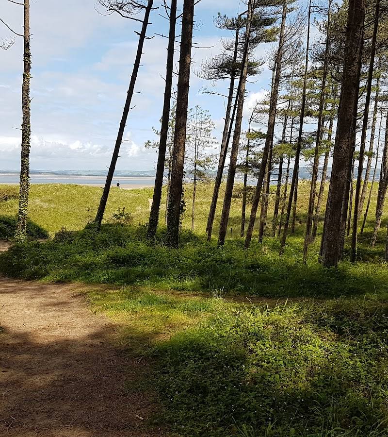
Follow the coastal paths from a nearby village towards Whiteford Sands, taking in the dunes and open shoreline. Visitor accounts describe walking through Cwm Ivy and Whiteford Burrows to the beach.
Check route and pace before visiting
See Whiteford Lighthouse
View the lighthouse from the sands, or consider the tidal approach only after checking tide times and current access conditions. The route guide warns that the causeway is unstable and access is not assured.
Allow at least an hour for the walk to the lighthouse, as advised by the route guide
Follow the Whiteford Lighthouse loop
A published guide describes an 8.5 km loop with about 80 m ascent, mostly level terrain, and a mix of sand and hard coastal path.
2.5–4 hours
Make a day of it
Quick escape · 1–2 hours
Quick Escape: dunes and shoreline
- 01
Start from a village access point and walk towards the sands through the coastal landscape.
- 02
Follow the beach or adjoining paths for a short out-and-back, turning back before the tidal lighthouse approach unless you have checked conditions.
- 03
Pause for views across the sands and towards Whiteford Lighthouse.
Half day · 2.5–4 hours
Half Day: Whiteford Lighthouse loop
- 01
Use the documented 8.5 km loop guide as a route-planning reference; it describes a mostly level walk over sand and hard coastal path.
- 02
Check tide times before setting out and plan the lighthouse section around low tide.
- 03
Treat the lighthouse crossing as conditional: the causeway is unstable and the guide warns that the lighthouse is not always reachable, even at low tide.
- 04
Return by the loop route, allowing for the walk’s stated duration and changing conditions.
Verified history
The supplied walk guide says the current Whiteford Lighthouse was completed in 1865 to a design by John Bowen, replacing a wooden-pile beacon dating from 1854. It was commissioned to mark the shifting shoals of Whiteford Point. The guide describes its shell as 105 tapered cast-iron plates bolted together and identifies it as the only wave-swept cast-iron lighthouse left in Britain.
Hidden details
The lighthouse is a tidal destination — The lighthouse stands in the Loughor estuary, and the guide cautions that it is not always accessible even at low tide. Check tide times and conditions before attempting the crossing.
Look closely at the lighthouse structure — The guide describes the lighthouse as assembled from 105 tapered cast-iron plates bolted together.
When to go
· For a lighthouse approach, plan around low tide and check current tide tables and access conditions. No general best time of day is established by the supplied sources.
The supplied sources do not establish a best season. Tidal conditions, rather than a particular month, are the key planning factor for reaching the lighthouse.
The route guide recommends suitable walking shoes or stable trainers that can get wet and sandy. Check tide times and conditions; do not assume the causeway is passable.
The route
- ascent
- 80 m
- surface
- Mostly sand and hard coastal path
- distance
- 8.5 km
- duration
- 2.5–4 hours
- difficulty
- Easy / Moderate
- route shape
- Loop
- start point
- A car park and start point are linked in the supplied walk guide; the location is not stated in the excerpt.
- parking start
- The guide links to car park and start-point information. Exact parking details are not provided in the excerpt; check before visiting.
- Whiteford Sands
- Whiteford Burrows and coastal landscape
- Whiteford Lighthouse, if tide and conditions allow
What to look for
Look for Whiteford Lighthouse offshore, the changing line of the dunes and the transition from sandy beach to tidal estuary. The lighthouse is reported to be the only remaining wave-swept cast-iron lighthouse in Britain.
The story
Maritime; the lighthouse marks the shifting shoals of Whiteford Point.
Best time to go
Check conditions and tide times before visiting; the supplied sources do not identify a definitive best season.
For the lighthouse, plan around low tide and check current tide times and access conditions. The source guide recommends arriving around an hour before low tide, but stresses that access is not guaranteed.
How long to spend
Half day
Perfect for
Walkers · Photographers · Wildlife lovers · History lovers
Before you go
Address
Google rating
Practical information
Opening & access
A coastal reserve reached on foot from a nearby village. The lighthouse lies across the tidal estuary and is not always accessible; check tide times and conditions before attempting to reach it.
Check before visiting
Parking
The supplied sources describe a walk from a village car park but do not identify its location or parking arrangements. Check before visiting.
Check before visiting
Toilets
Check before visiting
Check before visiting
Food & drink
Check before visiting
Check before visiting
Dogs
Check before visiting
Check before visiting
Accessibility
The lighthouse walk is described as mostly level, over sand and hard coastal path, but the tidal causeway is unstable and may be impassable. Check conditions before setting out.
Check before visiting
Cost
Check before visiting
Check before visiting
Water
Sea, estuary
Gallery
Place photographs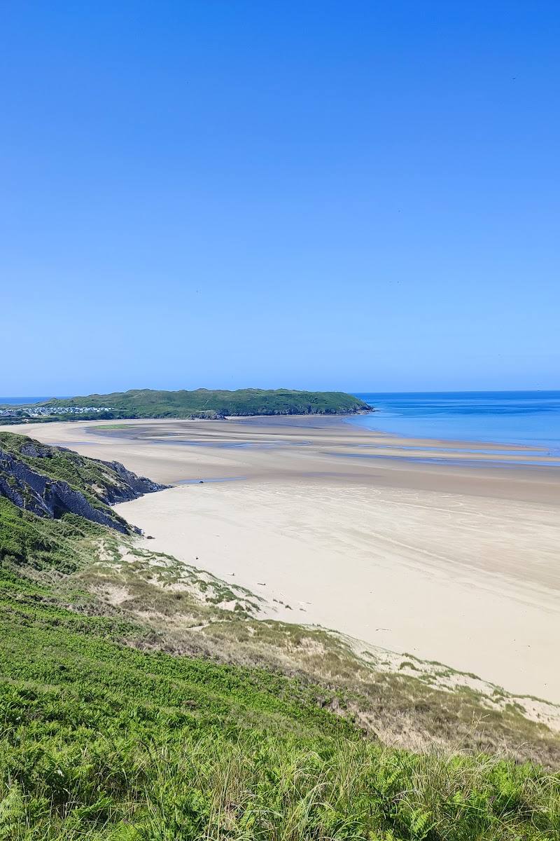
Keep exploring
Around Whiteford Sands
Within 50 km · approximate straight-line distances