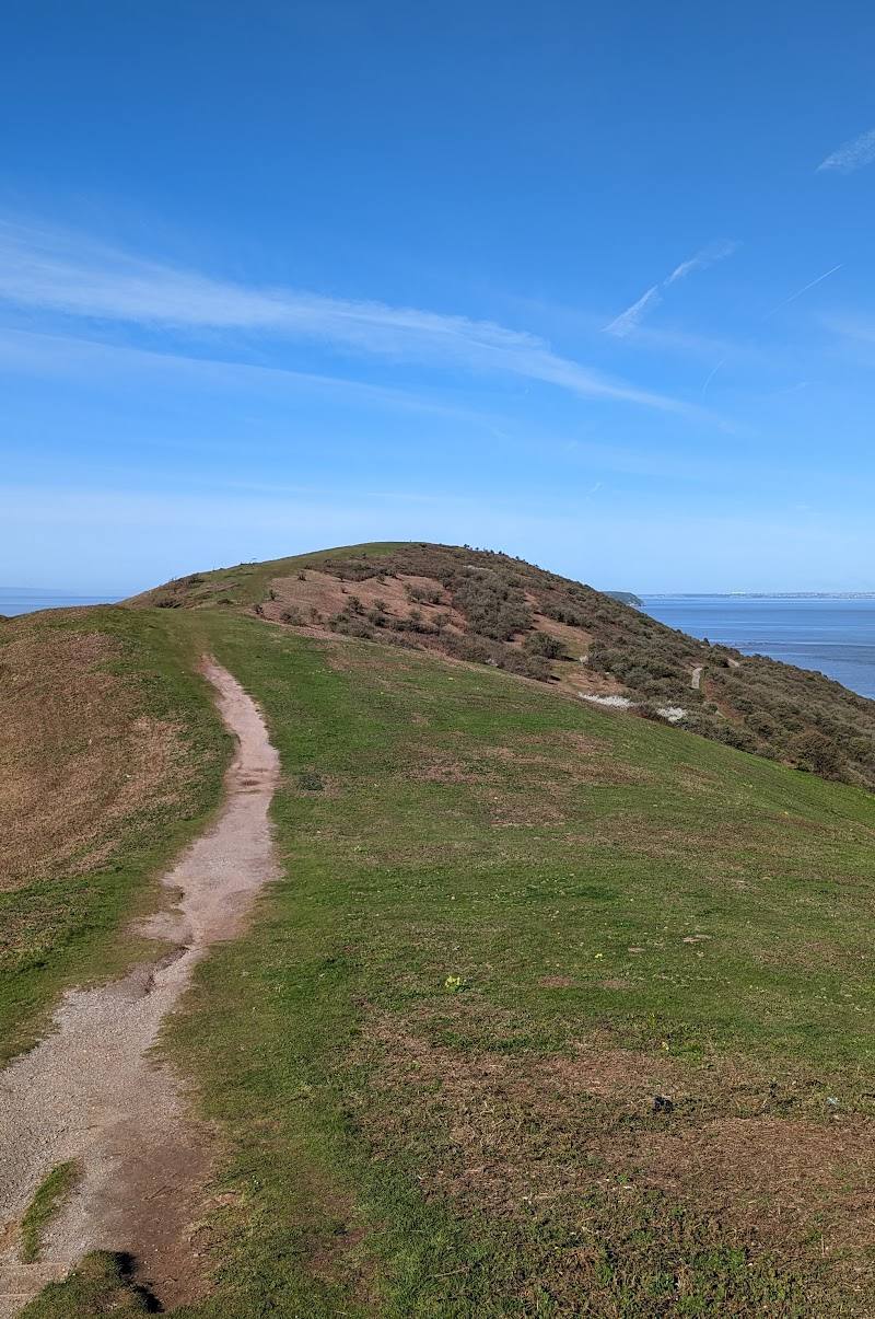
St Audrie’s Bay, near Watchet, Somerset
St Audrie’s Waterfall
Beach
Place photograph
6.7
Wildland
1–2 hours
Time
Check
Cost
Dramatic
Feel
Why it's Wildland
6.7A stream drops over the red coastal cliffs at St Audrie’s Bay onto a rugged shore. The waterfall can only be reached along the coast at a suitable tide.
The appeal is unusually concentrated: a waterfall spilling over coastal cliffs onto a rocky beach, with the visit shaped by the tides. It is a worthwhile, distinctive stop, but access is tide-dependent and practical arrangements should be checked before travelling.
Dramatic · Atmospheric · Secluded
Find your way
Open mapSt Audrie’s Bay, near Watchet, Somerset
Opening map…
Know this place a little better?
The experience
Plan around the tide, not just the map. If access is open and the tide is suitable, take the path down to the rocky shore, see the waterfall from a safe position, and allow time to explore the bay without approaching unstable cliff faces.
Things to do
See the waterfall meet the shore
Reach the bay at a suitable tide and view the stream cascading from the cliff onto the beach. Keep a safe distance from the cliff face and check conditions before setting out.
Allow time within a 1–2 hour visit
Walk the Watchet–St Audrie’s coastal route
Follow the out-and-back coastal route from Watchet, passing Helwell Bay and a coastguard lookout before continuing towards the waterfall. The route is tide-dependent and includes rocky, uneven terrain.
2–2.5 hours
Make a day of it
Quick escape · 1–2 hours
Quick Escape: the waterfall and shore
- 01
Check tide times and confirm that access is currently available before travelling.
- 02
Use the confirmed access route to reach the shore; expect a steep descent and uneven ground.
- 03
View the waterfall from a safe position, then return by the same route.
Half day · 2–2.5 hours walking, plus time at the bay
Make a half day of it: walk in from Watchet
- 01
Begin at Watchet railway station and follow the coastal route towards St Audrie’s Bay.
- 02
Check tide times before departure: the route source warns that the waterfall is only reachable at low tide.
- 03
Allow for rocky, uneven sections; visit the waterfall and return to Watchet.
- 04
Finish with a café or pub in Watchet, as described by the route source.
Hidden details
The tide is part of the access plan — The Watchet route description warns that the waterfall can only be reached at low tide. Check current tide times and conditions before setting out.
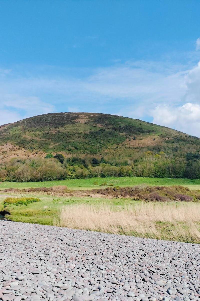
A rugged shoreline, not an easy waterside path — The route source describes a rocky fossil beach and recommends sturdy footwear for uneven terrain.
When to go
April · May · June · September · October · Plan around a suitable low tide; no specific time of day is established by the supplied sources.
The source row identifies April–June for surrounding plant life and September–November for autumn colour. A supplied guide says the waterfall is most impressive after rain. Tide and ground conditions matter more than season for access.
The approach is reported to include steep, rocky and uneven ground. Wet conditions can make footing slippery. Check the tide and current coastal conditions before setting out.
Worth pairing with
Watchet
A useful start or finish for the sourced coastal out-and-back route; its description notes shops, cafés and pubs. Check current opening and route conditions.
What to look for
The stream dropping from the cliff onto the shore, the contrast between the red rock and the water, and the changing shape of the beach as the tide recedes. Stay clear of cliff faces.
Best time to go
Spring to early summer for coastal walking and surrounding plant life; the falls may be stronger after rain. Check tide times in every season.
Choose a suitable low tide, checking current tide information before setting out. The supplied guide says the waterfall is most impressive after rain; avoid slippery conditions and allow for the rugged shore.
How long to spend
1–2 hours
Perfect for
Walkers · Photographers · Couples
Practical information
Opening & access
The waterfall is reached on foot at the shore. Access is tide-dependent: check tide times before setting out. A supplied guide describes access via Home Farm Holiday Centre and a steep path and steps to the beach; confirm current access and arrangements before visiting.
Check before visiting
Parking
A supplied guide reports day-visitor parking at Home Farm Holiday Centre, but current access, availability and charges need checking.
Check before visiting
Toilets
A supplied guide reports toilets by the car park; confirm they are open and available to visitors.
Food & drink
No confirmed food provision. A supplied route description mentions cafés and pubs in Watchet.
Dogs
Check current site rules before visiting.
Check before visiting
Accessibility
The supplied guide describes a steep path and steps to the beach, with rocky, uneven terrain. Not suitable for assuming step-free access; check current conditions and your own requirements.
Check before visiting
Cost
Check before visiting
Check before visiting
Water
Sea, waterfall
Gallery
Place photographs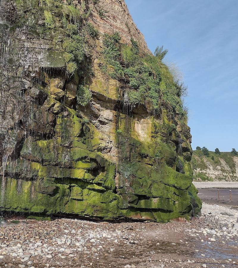

Keep exploring
Around St Audrie’s Waterfall
Within 50 km · approximate straight-line distances