Brean, near Burnham-on-Sea, Somerset TA8 2RS
Brean Down
Escarpment
Place photograph
8.0
Wildland
1–2 hours for a guided tour
Time
Check
Cost
Dramatic
Feel
Why it's Wildland
8.0A long headland rising above the Bristol Channel, where a coastal walk leads past traces of much older occupation to a Victorian fort at the tip.
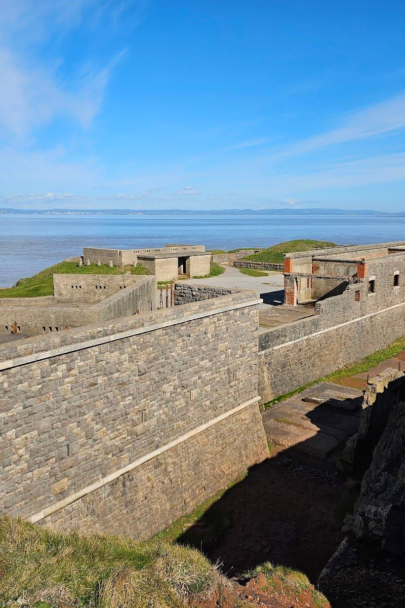
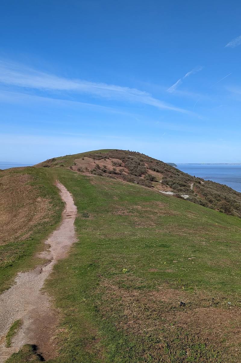
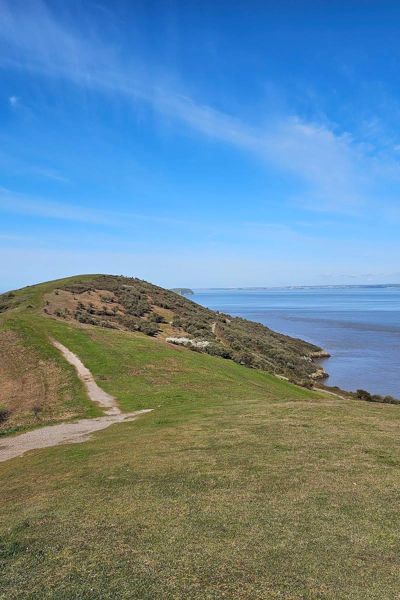
Brean Down earns its place through the combination of exposed coastal scenery and history you can encounter along the walk: prehistoric field systems, a reported Roman temple site and Palmerston Fort. The climb is steep and uneven, but the headland’s long views and layered past make it more than a viewpoint.
Dramatic · Big-sky · Wild
Find your way
Open mapBrean, near Burnham-on-Sea, Somerset TA8 2RS
Opening map…
Know this place a little better?
The experience
Walk up the headland for broad coastal views, then continue to the fort and explore the historic sites described along the way. The terrain is steep and uneven, so allow time and check conditions before setting out.
Things to do
Walk out to Palmerston Fort
Climb the headland from the car park and explore the fort at its tip. The approach is described as steep.
About 1.5 miles to the fort; time not specified.
Take in the coastal views
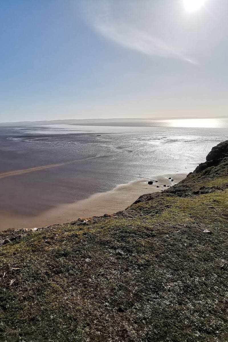
The headland is reported to offer wide views towards South Wales and across the Somerset Levels. Choose a clear, settled day for the broadest outlook.
Watch for summer wildflowers and butterflies
A supplied walk description reports wildflowers and butterflies on the headland in summer; specific species are not identified.
Make a day of it
Quick escape · About 1.5 miles to the fort, according to the supplied attraction description; allow extra time for the steep climb and exploring.
Quick Escape: climb to the fort
- 01
Start from the car park at the foot of the headland.
- 02
Follow the uphill path to the fort, taking care on the steep terrain.
- 03
Explore the fort and take in the reported views over the Bristol Channel and Somerset Levels.
- 04
Return by the same route; check locally whether a suitable alternative is open.
Half day · About three miles; allow half a day for the walk and stops. Exact duration is not established by the supplied sources.
Make a half day of it: walk the headland loop
- 01
Begin by the car park and café, then climb the steps and path onto the down.
- 02
Follow the described route towards the Romano-Celtic temple site and nearby Bronze Age burial mound.
- 03
Continue to Palmerston Fort at the end of the peninsula.
- 04
Return along the north side, looking for the reported banks and ditches of an Iron Age hill-fort, then follow the path back towards the steps and café.
- 05
The route description says to check the path around the end of the peninsula; verify current conditions and access before setting out.
Verified history
The supplied sources describe Brean Down as having a long archaeological and military story: prehistoric field systems, a Roman temple site and Palmerston Fort, built to defend the Bristol Channel. A guided-tour listing describes the history as spanning from the Iron Age to the present. One route account also points out a Bronze Age burial mound and the banks and ditches of an Iron Age hill-fort. The sources do not provide dates or further detail for these remains.
When to go
April · May · June · July · August · Choose a clear day for views; the sources do not establish a quieter or otherwise optimal time of day.
The supplied walking description reports wildflowers and butterflies in summer. A winter walk is also mentioned, but exposed conditions may be bracing.
This is an exposed coastal headland with steep, uneven terrain. Wear weather-appropriate clothing and check current conditions before setting out.
What to look for
- 01
Look for the reported prehistoric field systems and Roman temple site, then explore Palmerston Fort at the headland’s tip. The route description also identifies a Bronze Age burial mound and the banks and ditches of an Iron Age hill-fort
- 02
treat these as reported route features, not guaranteed visible finds.
The story
Prehistoric field systems, a reported Roman temple site, and Palmerston Fort; a guided-tour listing describes history spanning from the Iron Age to the present.
Best time to go
Spring and summer for wildflowers and butterflies; the headland walk is also described as worthwhile in winter. Check weather and path conditions before setting out.
Spring and summer bring reported wildflowers and butterflies. A winter walk is also described as rewarding, though exposed coastal weather can make conditions demanding.
How long to spend
1–2 hours for a guided tour; allow longer to explore the headland and fort.
Perfect for
Walkers · Photographers · History lovers · Wildlife lovers
Before you go
Address
Google rating
Practical information
Opening & access
A coastal headland reached on foot from the car park at its base. The route to the fort is described as steep; terrain is steep and uneven. Check current access and conditions before visiting.
Check before visiting
Parking
A car park is reported at the foot of the down. Charges and current arrangements: Check before visiting.
Check before visiting
Toilets
Check before visiting
Check before visiting
Food & drink
A café is reported by the car park. Check before visiting for current opening and facilities.
Check before visiting
Dogs
Check before visiting
Check before visiting
Accessibility
A three-mile walk is described as steep and uneven; the guided-tour source says there are no facilities at the top. Check current access information for individual requirements.
Check before visiting
Cost
Check before visiting
Check before visiting
Water
Bristol Channel
Gallery
Place photographs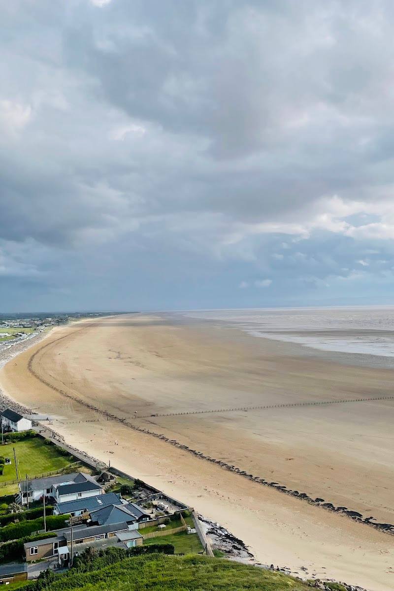
Keep exploring
Around Brean Down
Within 50 km · approximate straight-line distances