Broadwood Entrance, Ingleton, Carnforth LA6 3ET
Ingleton Waterfalls Trail
route · Waterside walk
Source image
6.8
Wildland
Half day
Time
Paid
Cost
Dramatic
Feel
Why it's Wildland
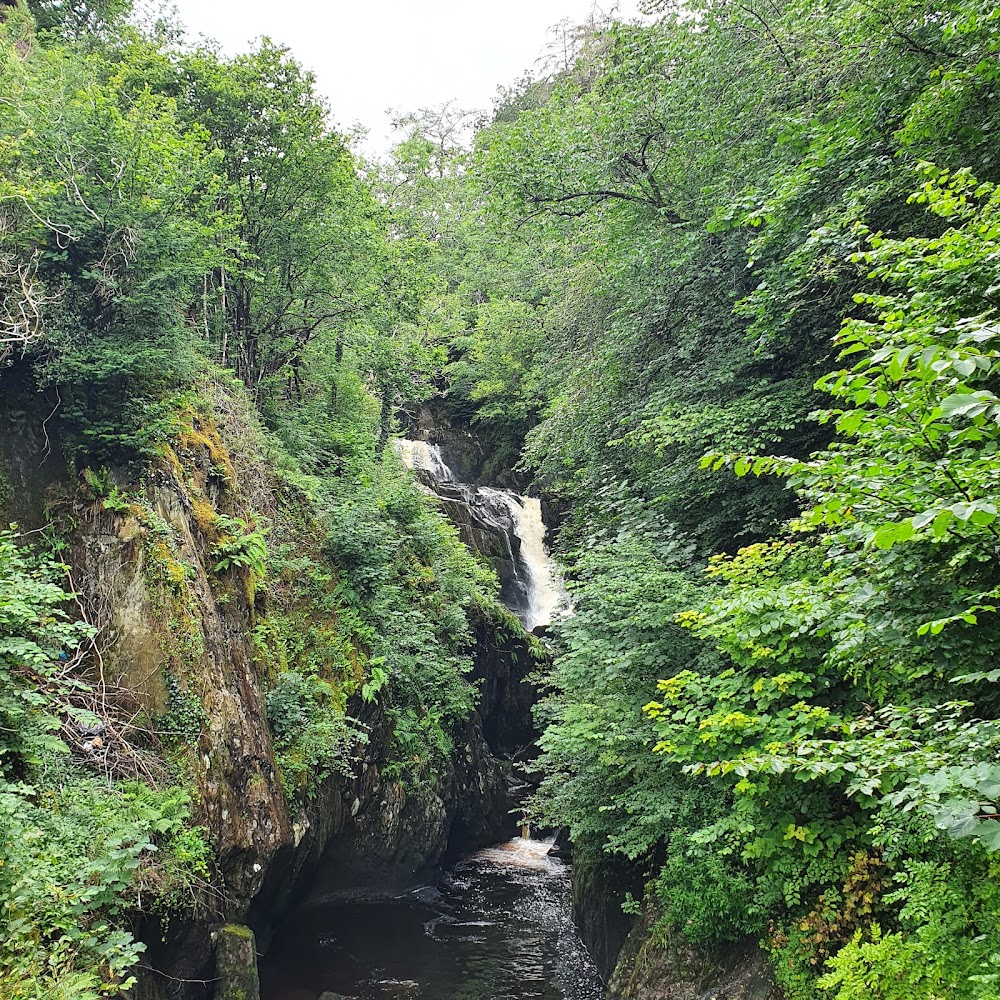
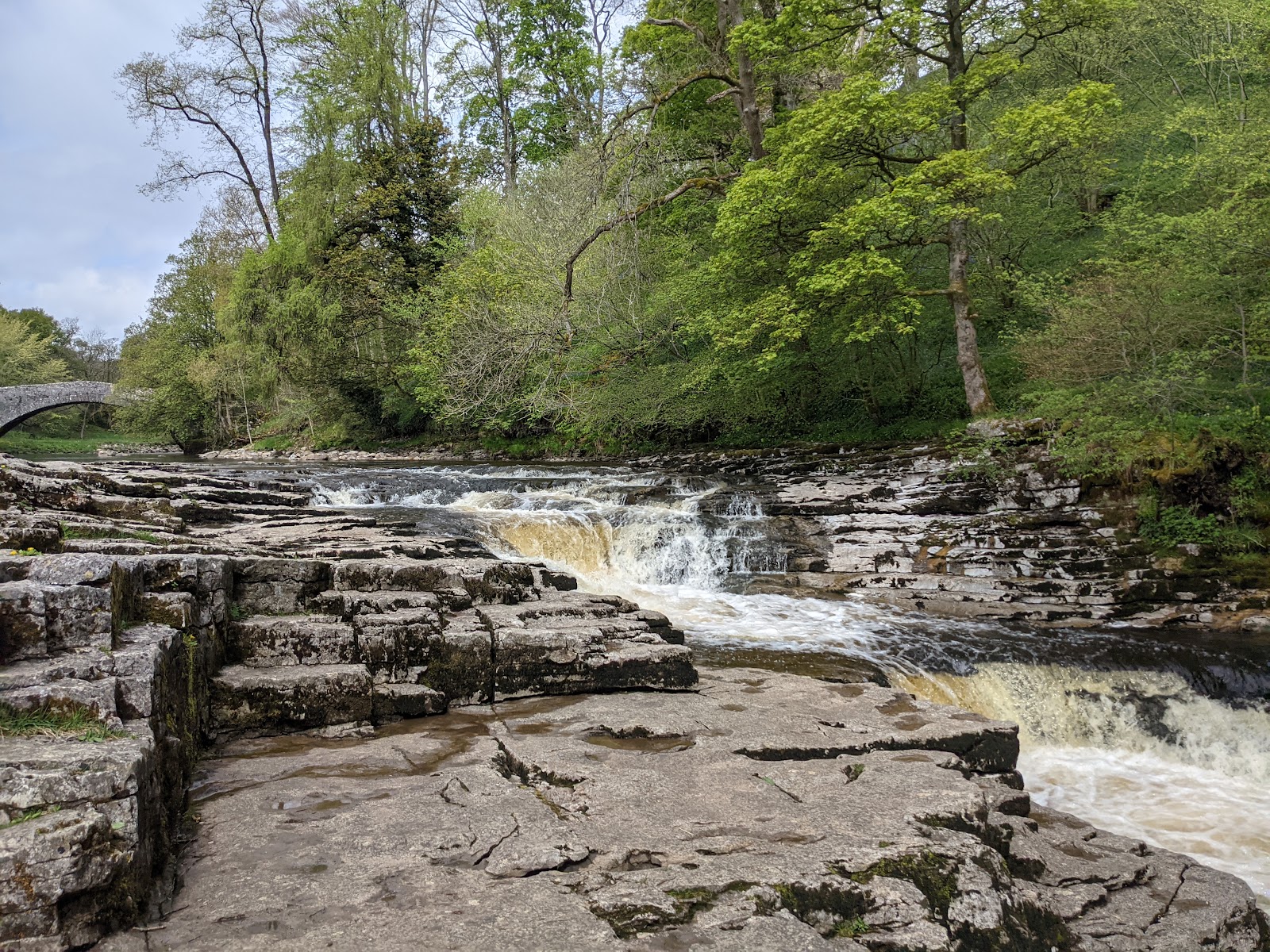
6.8A circular walk through wooded river valleys and open moorland, passing a succession of waterfalls including Thornton Force.
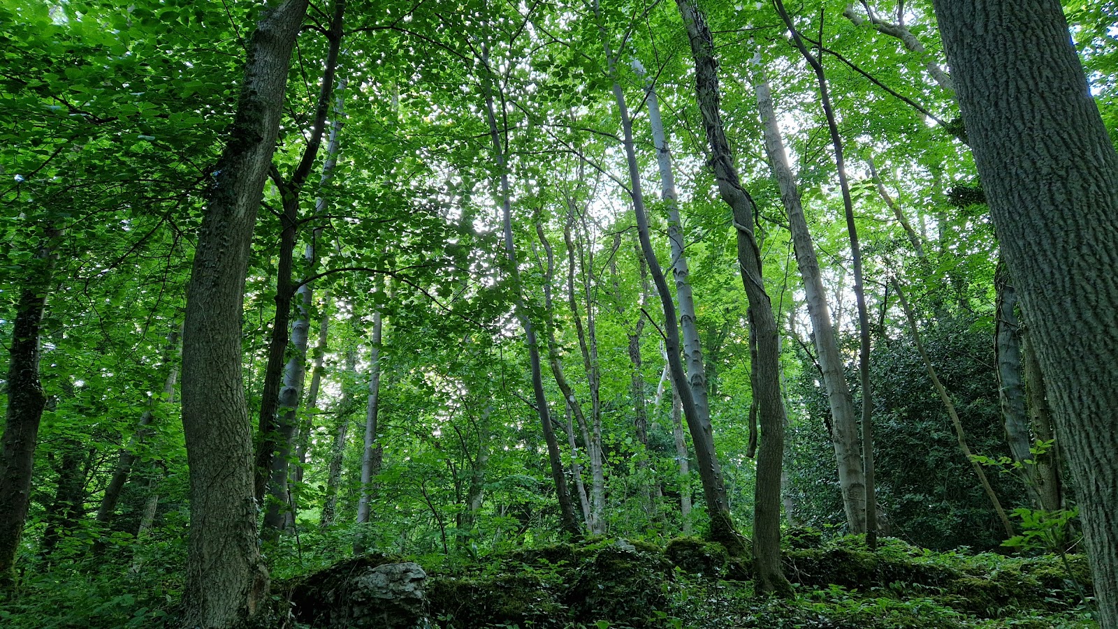
The appeal is the changing landscape: wooded waterfall gorges give way to exposed upland walking before the route returns through a second river valley. It is a substantial, purpose-built trail rather than a casual riverside stroll.
Dramatic · Wild
Find your way
Open mapBroadwood Entrance, Ingleton, Carnforth LA6 3ET
Opening map…
Know this place a little better?
The experience
A circular waterfall walk of about 4½ miles, reported to take 2–3 hours. Expect a varied route through wooded valleys and open countryside; the supplied sources describe uneven, boggy conditions in places and say the trail is not mobility-friendly.
Things to do
Follow the full circular trail
Walk the approximately 4½-mile circuit through waterfall scenery, wooded valleys and open countryside. The route is not described as mobility-friendly; check conditions before setting out.
About 2–3 hours
See Thornton Force
Pause at Thornton Force, described in the supplied walking account as the largest of the waterfalls on the route.
Look for Pecca Falls and Holly Bush Spout
The walking account identifies Pecca Falls and Holly Bush Spout among the falls encountered on the trail.
Notice the change from wooded gorge to open upland
The supplied sources describe a route that moves from tree-covered river scenery onto exposed open ground, then back down into a valley.
Make a day of it
Quick escape · About 2–3 hours
The waterfall circuit
- 01
Start at the Broadwood Entrance and follow the signed circular trail.
- 02
Walk the river-valley sections and look for Pecca Falls, Holly Bush Spout and Thornton Force.
- 03
Continue over the open upland section and descend into the next valley to complete the circuit.
When to go
The supplied research does not establish a best season or time of day.
A supplied walking account reports boggy conditions after rain; check current trail conditions before visiting.
The route
- surface
- Dirt paths; reported as boggy in places after rain
- distance
- About 4½ miles (sources differ slightly, reporting 4.3–4.5 miles)
- duration
- About 2–3 hours; another supplied source reports a wider 2½–4-hour range
- difficulty
- Not formally graded in the supplied sources; the route is reported as not mobility-friendly and includes uneven terrain.
- waymarking
- Check before visiting.
- route shape
- Circular
- start point
- Broadwood Entrance, Ingleton, Carnforth LA6 3ET
- parking start
- The supplied sources describe parking at the entrance, but current availability and charges are unconfirmed. Check before visiting.
- Pecca Falls
- Holly Bush Spout
- Thornton Force
- Wooded river valleys
- Open upland section
What to look for
Look out for Pecca Falls, Holly Bush Spout and Thornton Force, as well as the contrast between the wooded river valleys and the exposed upland section.
Best time to go
Not established by the supplied sources; check current trail conditions before setting out.
No verified best time is available from the supplied sources. Check the trail’s current conditions before travelling.
How long to spend
Half day
Perfect for
Walkers · Photographers
Route at a glance
Duration
Half day
Terrain
Woodland, Riverside
Parking / start
The supplied sources describe parking at the trail entrance, but current availability and charges are not confirmed. Check before visiting.
Before you go
Address
Phone
Listed hours
- Monday: 9am-5pm
- Tuesday: 9am-5pm
- Wednesday: 9am-5pm
- Thursday: 9am-5pm
- Friday: 9am-5pm
- Saturday: 9am-5pm
- Sunday: 9am-5pm
Check before visiting.
Google rating
Practical information
Opening & access
A fee-paying trail on private land. Check the official website for current access, prices and conditions before visiting.
Check before visiting
Parking
The supplied sources describe parking at the trail entrance, but current availability and charges are not confirmed. Check before visiting.
Check before visiting
Toilets
Check before visiting.
Check before visiting
Food & drink
Check before visiting.
Check before visiting
Dogs
Check before visiting.
Check before visiting
Accessibility
The supplied source describes a wheelchair-accessible car park, but the trail itself is reported as not mobility-friendly. Check current access information before visiting.
Check before visiting
Cost
Paid
Water
River, Waterfall
Gallery
Place photographsKeep exploring
Around Ingleton Waterfalls Trail
Within 50 km · approximate straight-line distances
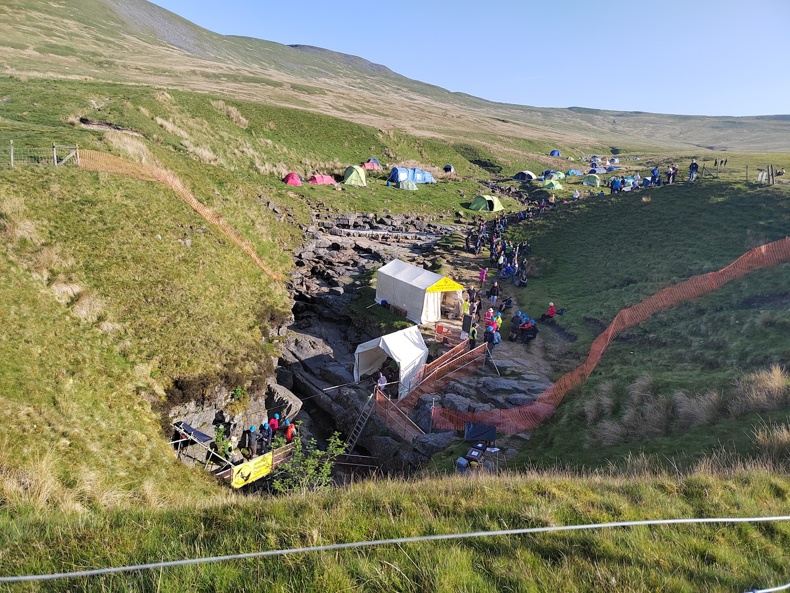 Place photograph9.2
Gaping Gill
Southern slopes of Ingleborough, near Clapham, North Yorkshire
5.8 km away

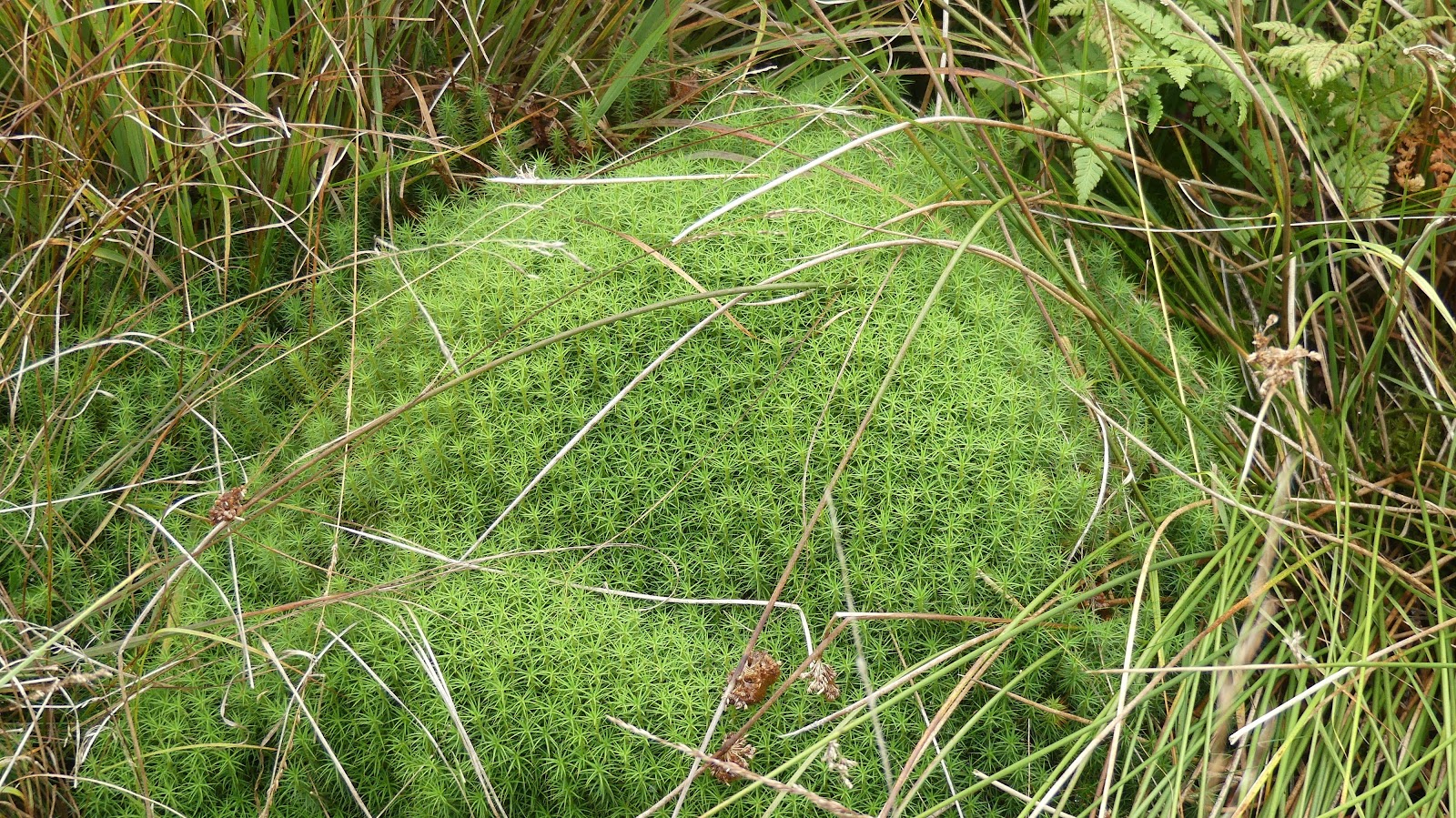 Place photograph7.4
Burns Beck Moss
Old Scotch Road, Killington, near Sedbergh, Cumbria, LA6 2HB
17.6 km away