Essex, England
Hamford Water National Nature Reserve
Mixed-habitat reserve
Place photograph
5.3
Wildland
1–2 hours
Time
Check
Cost
Big-sky
Feel
Why it's Wildland
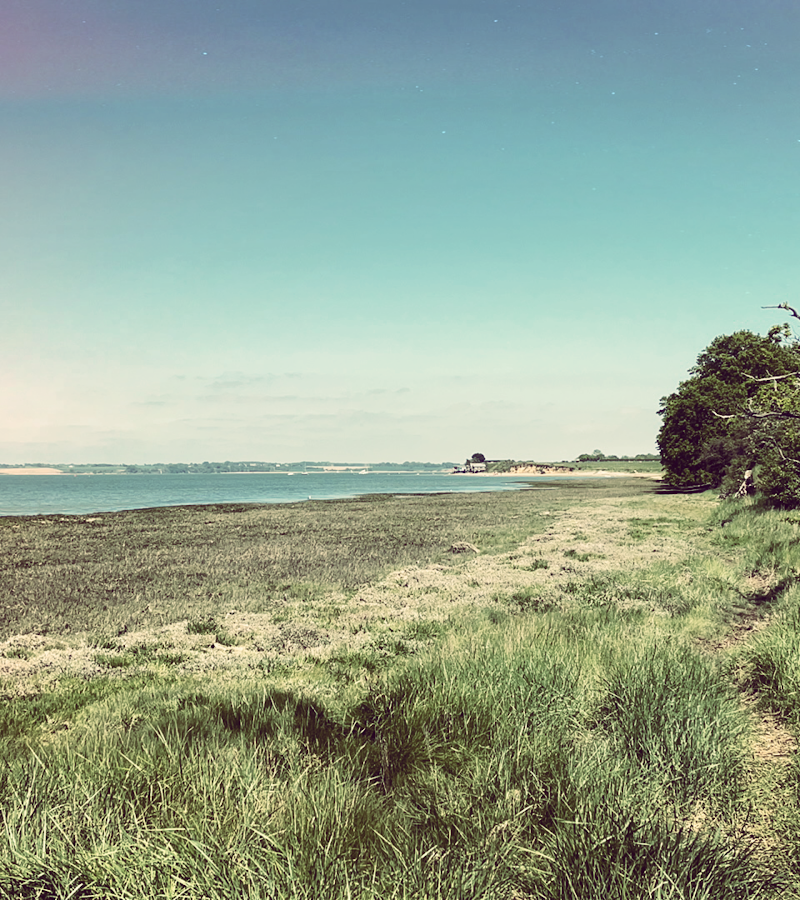
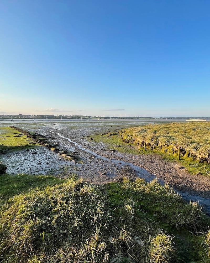
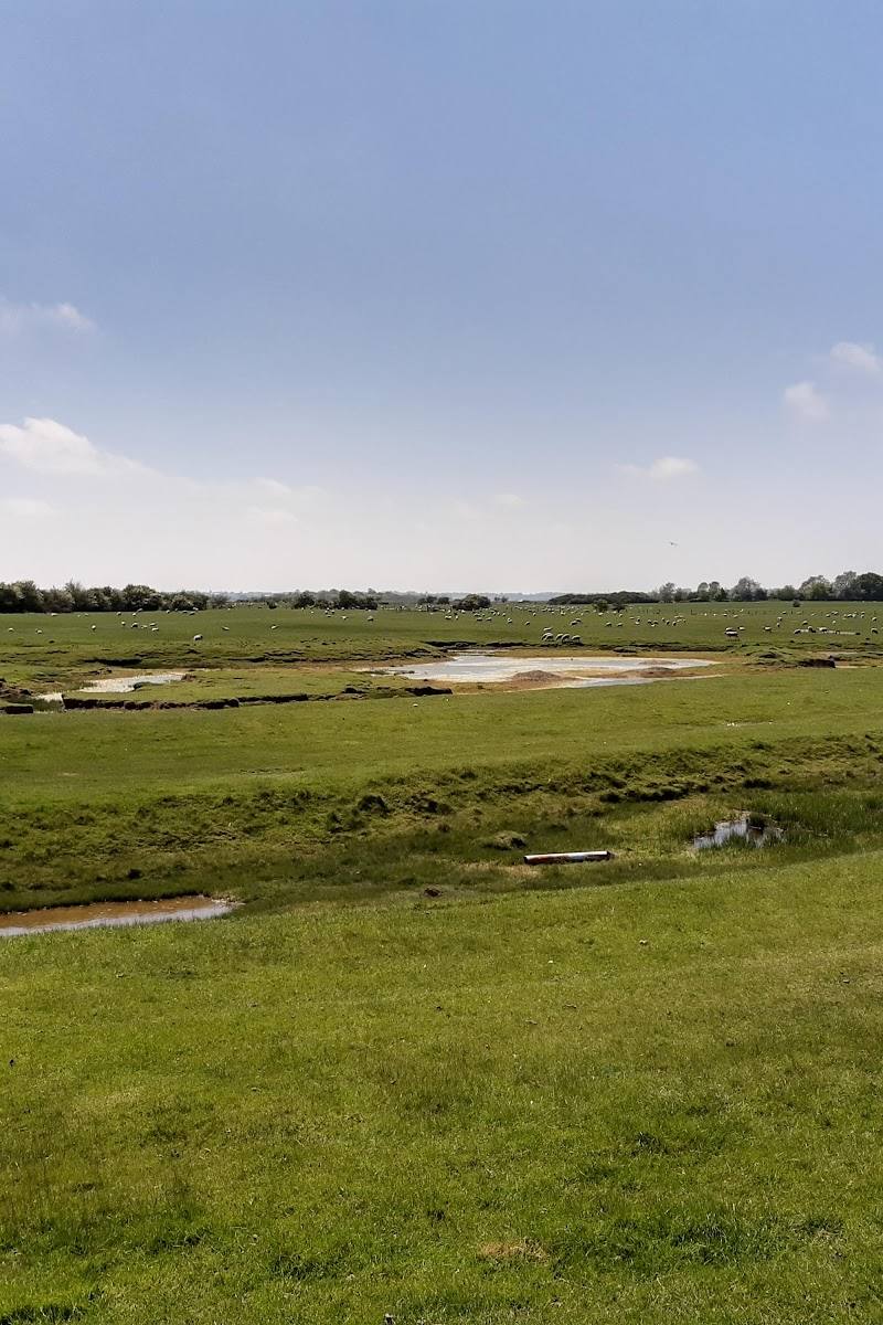
5.3A broad, low-lying coastal landscape of tidal creeks, mudflats and saltmarsh, where public footpaths can give expansive views across the water.
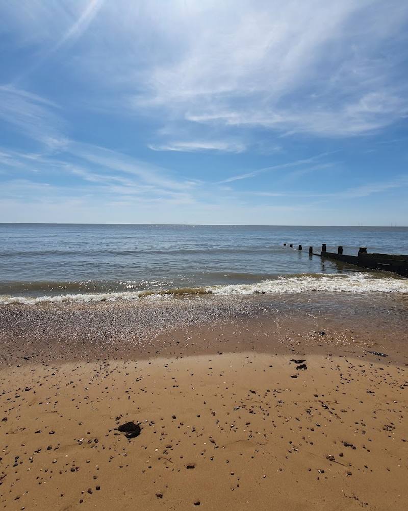
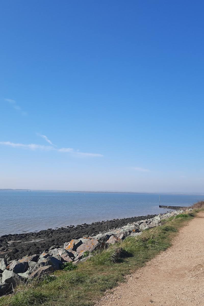
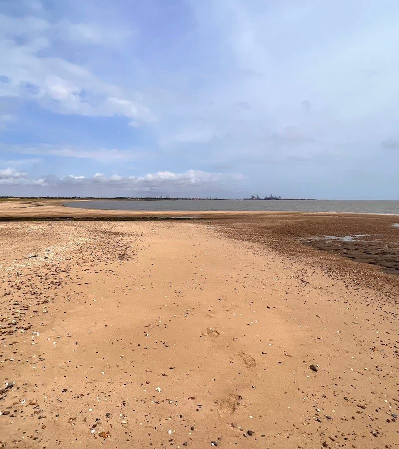
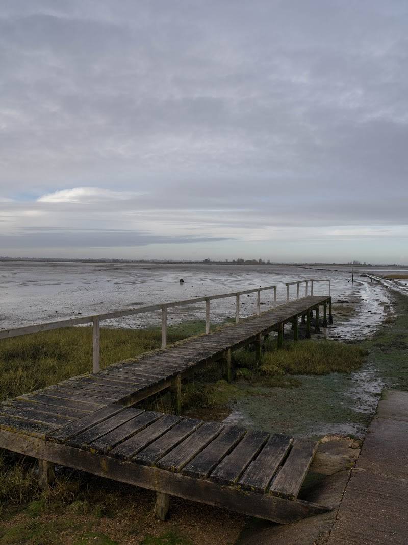
Hamford Water’s appeal is its open, tidal character: saltmarsh, mudflats and winding creeks create a distinctive coastal landscape, with sea-wall footpaths offering wide views rather than a single built attraction.
Big-sky · Wild
Find your way
Open mapEssex, England
Opening map…
Know this place a little better?
The experience
A coastal nature-reserve visit focused on walking public footpaths and taking in views across tidal creeks, estuarine basins, mudflats and saltmarsh. The supplied source also mentions small areas of meadow and two beaches, but does not provide access or route details for them.
Things to do
Walk a public sea-wall footpath
The supplied route guide describes public footpaths that often follow the sea wall, with expansive views across the water. Confirm a specific route and current access before setting out.
Take in the tidal landscape
From a public footpath, look across the reserve’s tidal creeks, shallow estuarine basins, mudflats and saltmarshes.
Look for the reserve’s varied coastal habitats
The route guide also describes small areas of meadow and two beaches. It does not give access directions, so check locally before trying to visit them.
Make a day of it
Quick escape · 1–2 hours
A short sea-wall walk
- 01
Use a public footpath described by the route guide, following a sea-wall section where access is confirmed locally.
- 02
Pause for expansive views across the tidal water and saltmarsh.
- 03
Return by the same way unless a suitable onward route is confirmed.
When to go
· Not established by the supplied sources.
The supplied sources do not give seasonal wildlife or visitor guidance.
Check local conditions before visiting; tidal and coastal conditions are not detailed in the supplied sources.
The route
- Tidal creeks and shallow estuarine basins
- Mudflats and saltmarshes
- Expansive views from sea-wall footpaths
- Small areas of meadow and two beaches are mentioned, but access details are not supplied
What to look for
Look for the changing pattern of tidal creeks, shallow estuarine basins, mudflats and saltmarsh from public footpaths along the sea wall. The source also describes small meadows and two beaches, but does not confirm how to reach them.
Best time to go
Not established by the supplied sources; check local conditions before visiting.
The supplied sources do not establish a best season or time of day. Check local conditions before visiting.
How long to spend
1–2 hours
Perfect for
Walkers · Families · Photographers
Before you go
Google rating
Practical information
Opening & access
The supplied route guide describes public footpaths along sea walls, but does not establish access arrangements for every part of the reserve. Check current access and local conditions before visiting; do not enter restricted areas. Access arrangements are unconfirmed. Check before visiting; do not enter private land or restricted structures.
Check before visiting
Parking
Check before visiting; parking arrangements are not confirmed by the supplied sources.
Check before visiting
Toilets
Check before visiting
Check before visiting
Food & drink
Check before visiting
Check before visiting
Dogs
Check before visiting
Check before visiting
Accessibility
The source describes a predominantly flat landscape and public footpaths, often along sea walls. Surface, step-free access and conditions are not confirmed; check before visiting.
Check before visiting
Cost
Check before visiting
Check before visiting
Water
Estuary
Gallery
Place photographsKeep exploring
Around Hamford Water National Nature Reserve
Within 50 km · approximate straight-line distances