Brightlingsea, Essex
Brightlingsea Marsh National Nature Reserve
Coastal reserve
Place photograph
6.2
Wildland
Half day
Time
Check
Cost
Peaceful
Feel
Why it's Wildland
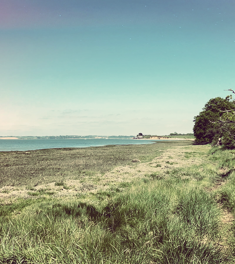
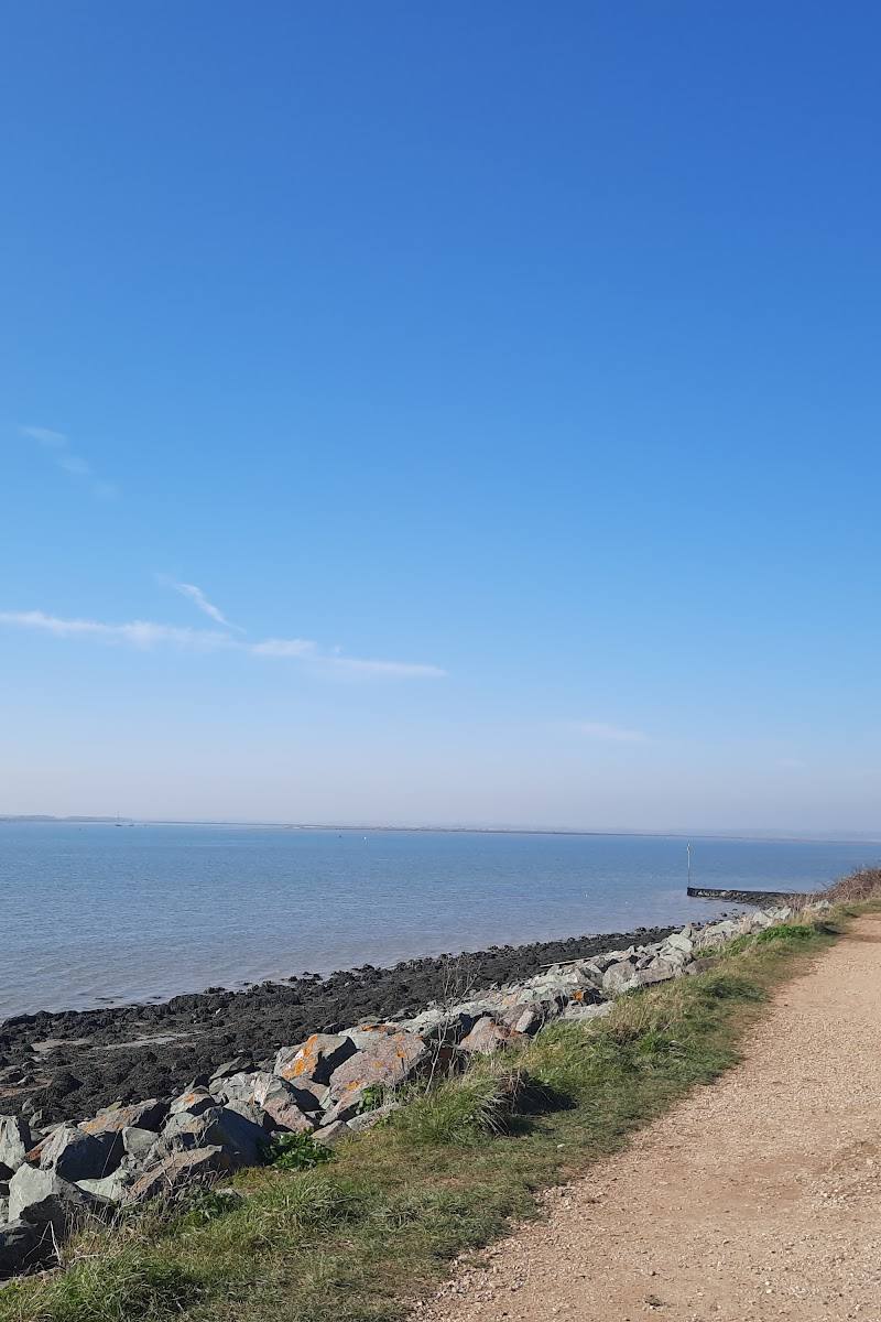
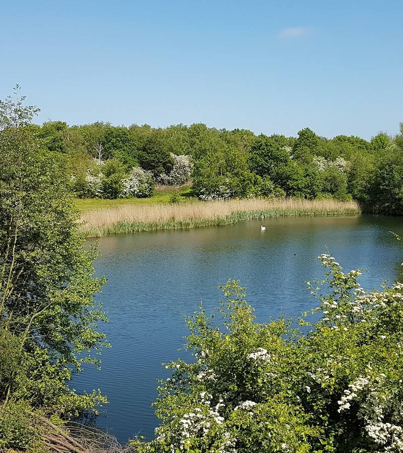
6.2From the sea wall, Brightlingsea’s marshes open onto a changing estuary landscape of mudflats, creeks and saltmarsh. A circular route from Bateman’s Tower links the reserve with Alresford Creek, fields, woodland and old gravel pits.
This is more than a short marsh-side stroll: the National Nature Reserve sits within a varied coastal circuit where saltmarsh, mudflats, creek views and farmland change the character of the walk. Its appeal is seasonal and observational—go slowly, watch the tide-shaped landscape and look for birds along the way.
Peaceful · Big-sky · Wild
Find your way
Open mapBrightlingsea, Essex
Opening map…
Know this place a little better?
The experience
A coastal reserve best experienced on foot, with a substantial circular walk linking the sea wall, mudflats, saltmarsh, Alresford Creek, fields and woodland. Allow around three hours for the documented reserve circuit; expect potentially muddy ground and check current route conditions.
Things to do
Walk the National Nature Reserve circuit
Follow the documented circular route from Bateman’s Tower through sea wall, mudflats, saltmarsh, Alresford Creek, fields and woodland. The route listing describes it as intermediate and warns that a section near the water-pumping station can be muddy.
About 3 hours; 9.4 km
Watch the estuary edges for birds
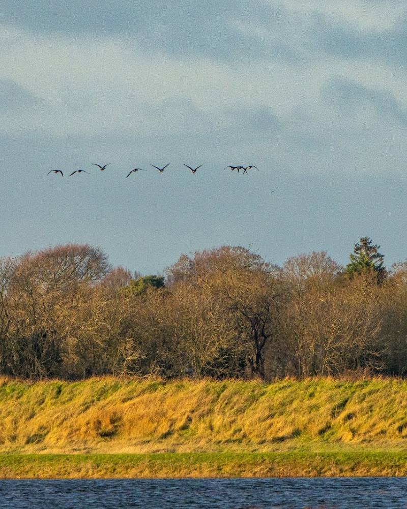
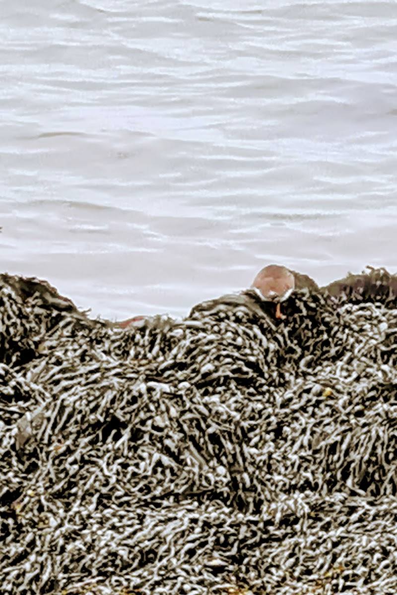
Take time to scan the mudflats, creek and marsh. The route source lists species that may be seen depending on season, including avocet, redshank, black-tailed godwit, curlew, oystercatcher and egret.
Look for sea lavender
The Brightlingsea route guide names sea lavender among the seasonal plants to look for along the National Nature Reserve circuit.
Make a day of it
Quick escape · About 1 hour
Quick Escape: marsh-edge views
- 01
Start at Bateman’s Tower and follow the sea wall for estuary and marsh views.
- 02
Turn back when you have had your fill of the creek and mudflat scenery; the supplied sources do not specify a short turnaround point or exact distance.
- 03
Check tide, route conditions and access before setting out.
Half day · About 3 hours walking
Make a Half Day of It: the reserve circular
- 01
Begin at Bateman’s Tower.
- 02
Follow the National Nature Reserve circular route through the sea wall, mudflats, saltmarsh, Alresford Creek, sand and gravel pits, farmland and woodland.
- 03
Pause to watch for seasonal birds and plants; expect that the path near the water-pumping station can be muddy.
- 04
Return to Brightlingsea for a café or pub stop, checking opening and availability in advance.
Verified history
The supplied route guide describes Brightlingsea as a historic Cinque Port and says the town has evidence of human occupation dating to the Neolithic, with its modern town dating to the Middle Ages. The reserve sources supplied here do not document a specific historical event or structure within the marsh itself.
Hidden details
A muddy section to plan for — The National Nature Reserve route guide specifically warns that the path heading down past the water-pumping station can get muddy. Waterproof footwear is a sensible precaution, but check current conditions before travelling.
The estuary route’s seasonal species list — The local walk guide names sea lavender, terns, ringed plovers, cormorants, avocet, redshank, black-tailed godwit, curlew, oystercatcher, turnstone and egret among possible seasonal sightings. Treat these as possibilities, not guaranteed sightings.
When to go
· A clear, calm morning is a useful choice for walking and wildlife watching; exact optimum times are not established by the supplied sources.
The local route guide says wildlife sightings depend on the season and names both coastal birds and sea lavender. It does not provide exact peak months.
A section near the water-pumping station may be muddy. The AllTrails route description also recommends waterproof footwear and notes that some ground can be muddy. Check current conditions before visiting.
Worth pairing with
Brightlingsea seafront and museum
The harbour walking booklet describes a Historic Promenade linking the seafront, Bateman’s Tower and Brightlingsea Museum. Check current museum opening arrangements before planning a visit.
Brightlingsea town
The harbour booklet describes local walks connecting the harbour area with shops, pubs and cafés. These may make a practical post-walk stop; check what is open.
What to look for
Scan the mudflats and creek edges for waders and other estuary birds. In season, look for sea lavender and watch for the route’s reported coastal species, including avocet, redshank, curlew and egret. Take care not to disturb wildlife.
The story
Coastal landscape and human-shaped estuary; nearby Brightlingsea has a documented maritime and Cinque Ports history.
Best time to go
Autumn and winter for seasonal estuary birdlife; spring and summer for flowering saltmarsh plants and coastal birds. Species vary by season.
For the reserve circuit, choose a clear, calm morning and check seasonal conditions. Autumn and winter offer a chance to look for estuary birds; spring and summer bring flowering plants and coastal bird activity.
How long to spend
Half day
Perfect for
Walkers · Wildlife lovers · Photographers · Dogs
Practical information
Opening & access
A National Nature Reserve reached by public walking routes from Brightlingsea, including a circular walk starting at Bateman’s Tower. Check current access and conditions before setting out.
Check before visiting
Parking
Parking arrangements are not established by the supplied sources; check before visiting.
Check before visiting
Toilets
Check before visiting.
Check before visiting
Food & drink
No reserve café or food provision is verified. Brightlingsea has pubs, cafés and shops; check availability before visiting.
Check before visiting
Dogs
Dogs are described as manageable on the route, but reserve-specific rules are not verified. Check current signage and access guidance before visiting.
Check before visiting
Accessibility
The reserve circular route is described as intermediate and may be muddy near the water-pumping station. Surface and accessibility can vary; check route conditions before visiting.
Check before visiting
Cost
Check before visiting
Check before visiting
Water
Saltmarsh, mudflats, creeks and estuary; no swimming or paddling permission is evidenced.
Gallery
Place photographs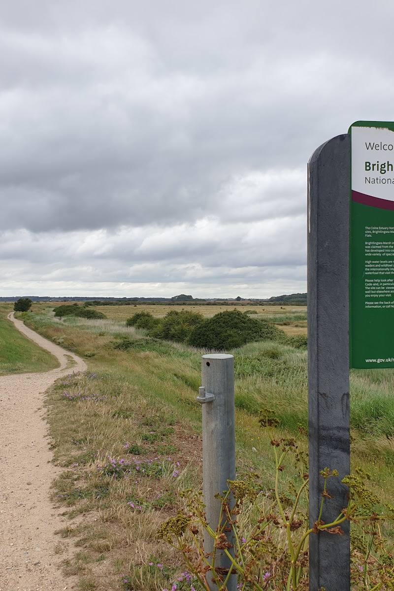
Keep exploring
Around Brightlingsea Marsh National Nature Reserve
Within 50 km · approximate straight-line distances
 Place photograph7.8
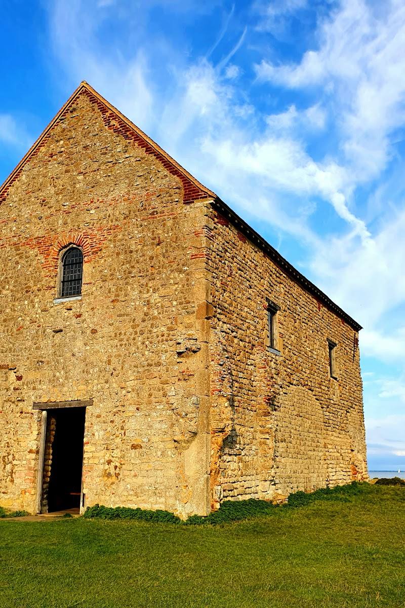
The Chapel of St Peter-on-the-Wall
East End Road, Bradwell-on-Sea, Essex CM0 7PN
9.6 km away
 Place photograph6.8
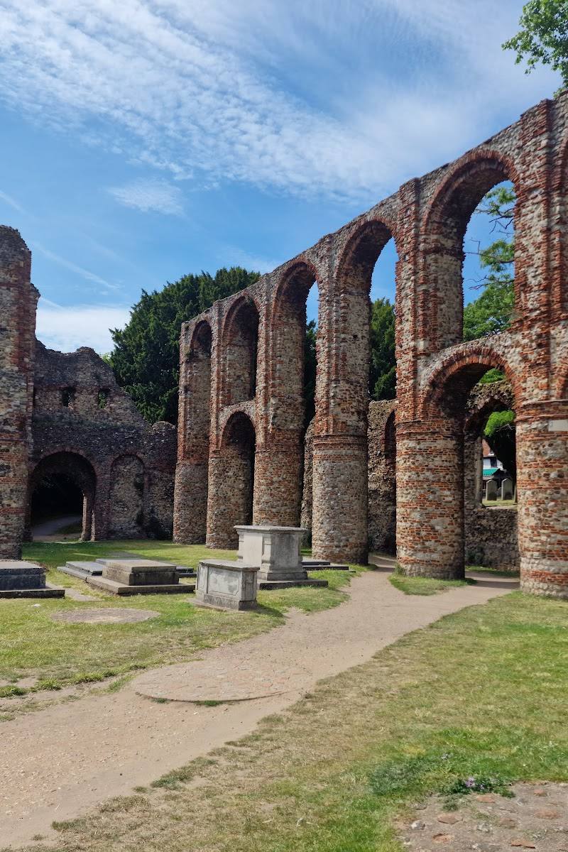
St Botolph’s Priory
St Botolph’s Church Walk, Colchester, Essex CO2 7EE
11.3 km away