Coastal Suffolk and North Essex, from Kessingland to the Stour Estuary
Suffolk & Essex Coast & Heaths National Landscape
Mixed-habitat reserve
Source image
6.5
Wildland
Half day, Full day, Weekend
Time
Check
Cost
Peaceful
Feel
Why it's Wildland
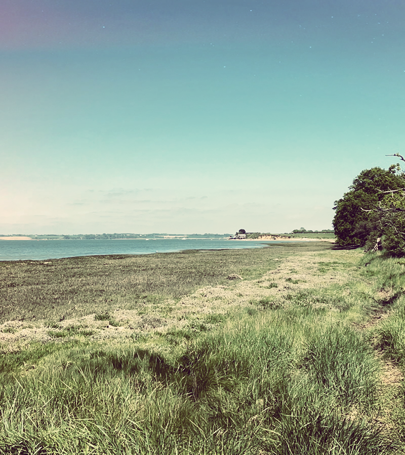
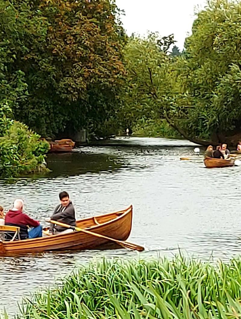
6.5From shingle shores and estuaries to heath, woodland and farmland, this 403-square-kilometre landscape is a patchwork of habitats along the Suffolk and North Essex coast. Designated in 1970, it includes nationally and internationally important wetland wildlife sites.
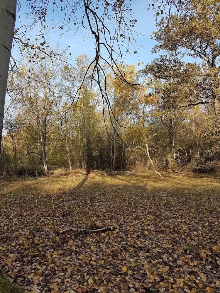
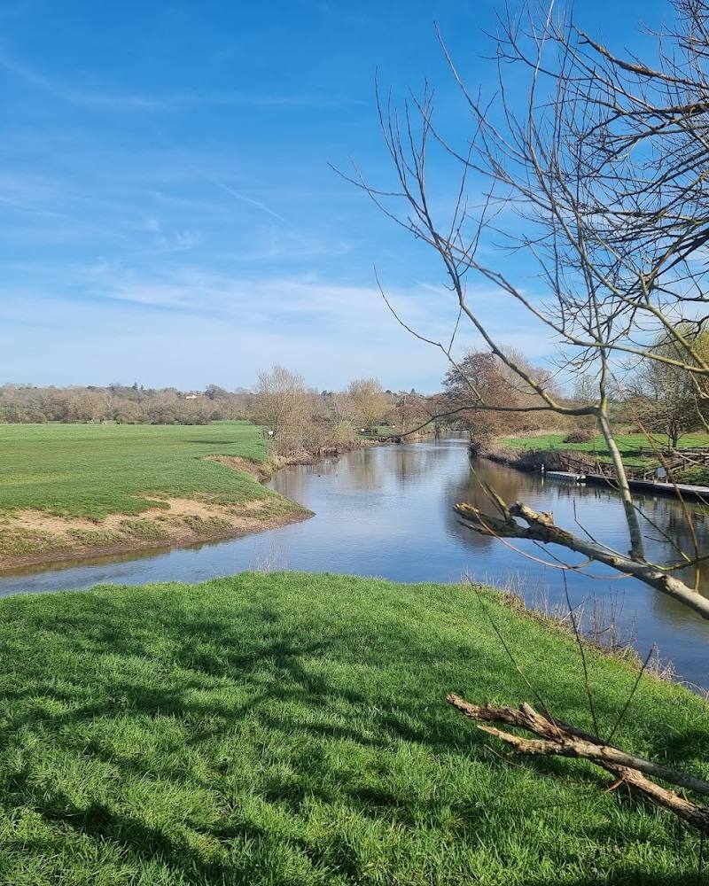
This is a whole landscape to explore, not one attraction: estuary mudflats, shingle beaches, heathland, forests and historic coastal settlements sit within the same protected region. Its strongest appeal is the variety—and the chance to choose a different kind of coast or countryside for each outing.
Peaceful · Big-sky · Wild
Find your way
Open mapCoastal Suffolk and North Essex, from Kessingland to the Stour Estuary
Opening map…
Know this place a little better?
The experience
Choose one part of the landscape rather than trying to cover the whole region in a day. The official National Landscape site offers visitor guides and suggested walks; an example is the flat Aldeburgh–Thorpeness circuit, which follows a disused railway path out and returns along the beach.
Things to do
Walk between Aldeburgh and Thorpeness
Try the described flat circular route, following a disused railway line out and returning along the beach. Confirm the route and access locally before setting off.
About 1–1.5 hours
Explore the estuary landscape
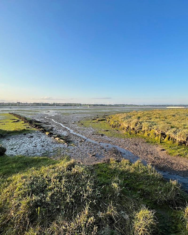
The estuaries of the Stour, Deben, Blyth, Ore and Alde include creeks, mudflats and wetland wildlife sites. Choose a named local access point and check its visitor information before visiting.
Use a local Explorer guide
The National Landscape provides free visitor guides for popular locations, with highlights and suggested walks. Select a guide for the specific place you plan to visit.
Look for heathland wildlife
The National Landscapes source identifies nightjar, woodlark and rare heath butterflies as wildlife associated with the Sandlings heathland. Viewing is not guaranteed.
Make a day of it
Quick escape · About 1–1.5 hours
Aldeburgh to Thorpeness coastal circuit
- 01
Use the route information to identify the starting point and current conditions before setting out.
- 02
Follow the disused railway line, described as a permissive pathway, towards Thorpeness.
- 03
Return to Aldeburgh along the beach, checking local access and conditions first.
Half day · Half day
Make a half day of the coast and heath
- 01
Choose one location from the National Landscape’s visitor guides rather than attempting to cover the region as a whole.
- 02
Follow a suggested walk in that guide and spend time noticing how the landscape changes between coast, heath, woodland or estuary.
- 03
Check the chosen route’s access, facilities and any closures before travelling.
Verified history
The landscape was designated in 1970. The available sources describe its habitats and visitor guides but do not establish a more detailed site-specific historical story for this broad regional listing.
Hidden details
A landscape made of many habitats — The National Landscape brings together shingle and sand, ancient woodland, forest, lowland heath, farmland, valley meadows, estuaries and marshes. Choose a particular area to experience its details rather than treating the whole region as one site.
When to go
· Choose a time suited to your intended walk or wildlife interest; no single best time is established for the whole landscape.
The area contains varied coastal, wetland, heath and woodland habitats, so seasonal interest depends on the specific destination and what you hope to see.
Check local weather and route conditions before visiting. The region includes exposed coast and low-lying estuary terrain; the supplied sources do not provide a general route-specific forecast or safety assessment.
What to look for
- 01
Look for the changing edges between shingle, beach, heath and marsh
- 02
the creeks and mudflats of the estuaries
- 03
and, on suitable heathland, the nightjar, woodlark and rare heath butterflies noted by the National Landscapes source.
The story
Archaeology
Best time to go
Check conditions and site access for your chosen destination; different habitats and wildlife offer different seasonal interest.
There is no single best time for the whole area. Match your visit to the habitat and wildlife you want to experience, and check current local conditions and closures.
How long to spend
Half day, Full day, Weekend
Perfect for
Walkers · Wildlife lovers · Photographers · History lovers
Before you go
Google rating
Practical information
Opening & access
A large, varied landscape rather than a single managed visitor site. Use the official visitor guides to choose a specific location and route; check local access, closures and restrictions before setting out. Access arrangements are unconfirmed. Check before visiting; do not enter private land or restricted structures.
Check before visiting
Parking
No single car park serves the whole National Landscape. Check parking for your chosen destination before travelling.
Check before visiting
Toilets
Check before visiting
Check before visiting
Food & drink
Check before visiting
Check before visiting
Dogs
Check the rules for each destination; dogs may not be permitted on some nature reserves.
Check before visiting
Accessibility
Accessibility varies by location and route. The source row notes a wheelchair-accessible car park but does not identify its location; check the chosen site before travelling.
Check before visiting
Cost
Check before visiting
Check before visiting
Water
Sea, Estuary, River, Marsh
Gallery
Place photographsKeep exploring
Around Suffolk & Essex Coast & Heaths National Landscape
Within 50 km · approximate straight-line distances