Chapel-le-Dale, beneath Ingleborough, Yorkshire Dales
Great Douk Cave
Cave
Place photograph
6.0
Wildland
1–2 hours
Time
Check
Cost
Atmospheric
Feel
Why it's Wildland
6.0A stream emerges from a waterfall at the foot of a vast limestone hollow, then disappears underground again. Great Douk is both a dramatic landscape feature and a passage through the working geology of the Yorkshire Dales.
Great Douk is more than a cave entrance: its 55-metre-wide collapse hollow, waterfall and underground streamway reveal a remarkable piece of Dales karst in one compact setting. The cave passage is for properly equipped cavers, but the geological story begins at the surface.
Atmospheric · Wild
Find your way
Open mapChapel-le-Dale, beneath Ingleborough, Yorkshire Dales
Opening map…
Know this place a little better?
The experience
See the collapse hollow and waterfall entrance, then read the landscape as a live karst system: water sinks into the limestone and eventually reappears at God’s Bridge. The underground passage is a caving activity, not a casual walk-in attraction.
Things to do
See the Great Douk collapse hollow
Observe the tree-lined doline, a limestone collapse feature aligned on a fault. Dales Rocks describes it as approximately 55 metres long and 25 metres wide and deep.
Check before visiting
Watch the waterfall emerge from the cave
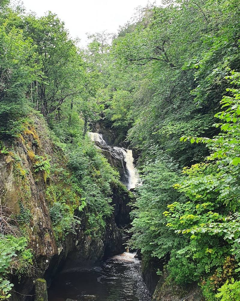
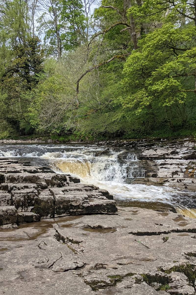
At the eastern end of the hollow, a small waterfall emerges from Great Douk Cave. Stay on safe ground and do not treat the entrance as a casual swimming or wading spot.
Look for flowstone and the ‘Giant’s Hand’
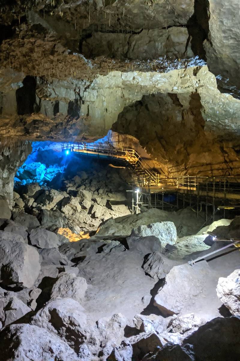
For suitably equipped cavers on an appropriate trip, Dales Rocks describes flowstone curtains and a formation known as the ‘Giant’s Hand’ in the upper reaches.
Trace the water’s underground journey
Dales Rocks describes water from the cave system reaching Chapel Beck before emerging at God’s Bridge; its exact underground route is still largely unknown.
Make a day of it
Quick escape · 1–2 hours
The hollow and the waterfall
- 01
Check current access, parking and weather conditions before setting out.
- 02
Visit the limestone collapse hollow and observe the waterfall where water emerges from Great Douk Cave.
- 03
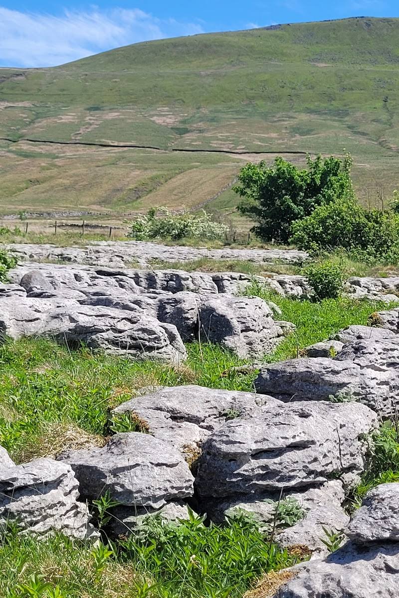
Look across the surrounding limestone landscape and consider how water sinks underground and returns to the surface.
Half day · Check with a qualified local caving guide
A caving trip through the streamway
- 01
Arrange suitable caving guidance and check conditions; do not enter after heavy rain.
- 02
Explore only the passage appropriate to your experience and current conditions.
- 03
Look for cascades, flowstone and the oxbow passage described in the cave accounts.
Verified history
Great Douk was described in John Hutton’s 1780 addendum to Thomas West’s Guide to the Lakes. The first through-trip connecting the cave to Middle Washfold was made on 1 August 1936 by Norman Thornber, E. J. Douglas and F. King. Further connections were made by cavers in 1966.
Hidden details
The cave’s fifth entrance — A surface shakehole collapsed into the stream passage in 2021, creating a fifth entrance, according to the supplied cave history.
The water route is still not fully known — The water eventually reaches Chapel Beck and emerges at God’s Bridge, but the exact underground route remains largely unknown.
When to go
May · June · July · August · September · October · Choose a time that allows a daylight approach and a cautious return; check conditions before setting out.
The source row recommends May to October for milder approach conditions and longer daylight. Cave conditions depend on water levels, so season alone does not establish that entry is safe.
Avoid cave entry after heavy rain: the source row warns that water levels may rise and surfaces may be slippery. Check current conditions and local guidance.
Worth pairing with
Three Peaks Challenge Walk
The route passes close to the Great Douk doline, which Dales Rocks describes as a short diversion. Verify route conditions and access before planning a combined visit.
What to look for
From the surface, look for the tree-lined collapse hollow and the waterfall emerging from the cave. With appropriate caving experience and conditions, notable features described by Dales Rocks include flowstone curtains, small rapids, an oxbow passage and the formation known as the ‘Giant’s Hand’.
The story
Archaeology
Best time to go
May–October for a more comfortable approach, while avoiding visits after heavy rain. Check conditions before any cave entry.
The source row recommends May to October for the approach and advises avoiding the cave after heavy rain, when water levels may rise and surfaces become slippery. Check local conditions before travelling.
How long to spend
1–2 hours
Perfect for
Photographers · Walkers
Practical information
Opening & access
The source row describes a short approach from a nearby parking area, but current parking and access arrangements should be checked before setting out. Cave entry involves a waterfall step or a low crawl, slippery ground and moving water; do not enter after heavy rain or without suitable caving experience and equipment. Check current conditions and guidance before visiting. Access arrangements are unconfirmed. Check before visiting; do not enter private land or restricted structures.
Check before visiting
Parking
A small parking area is described in the source row near Chapel-le-Dale; verify its location and availability before travelling.
Check before visiting
Toilets
Check before visiting.
Check before visiting
Food & drink
Check before visiting.
Check before visiting
Dogs
Check before visiting; no dog access information is verified.
Check before visiting
Accessibility
Not wheelchair accessible. The source row describes uneven approach terrain and possible crawling inside the cave. Cave entry is not suitable for everyone.
Cost
Check before visiting
Check before visiting
Water
Stream, Waterfall
Gallery
Place photographsKeep exploring
Around Great Douk Cave
Within 50 km · approximate straight-line distances