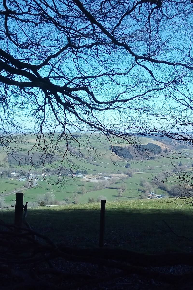
Radnor Forest, Powys, Mid Wales
Fforest Glud / Radnor Forest
Forest
Place photograph
8.1
Wildland
Full day
Time
Check
Cost
Wild
Feel
Why it's Wildland
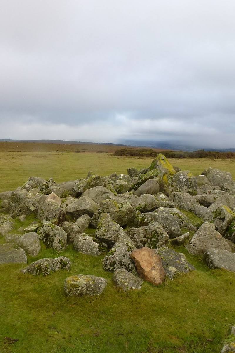
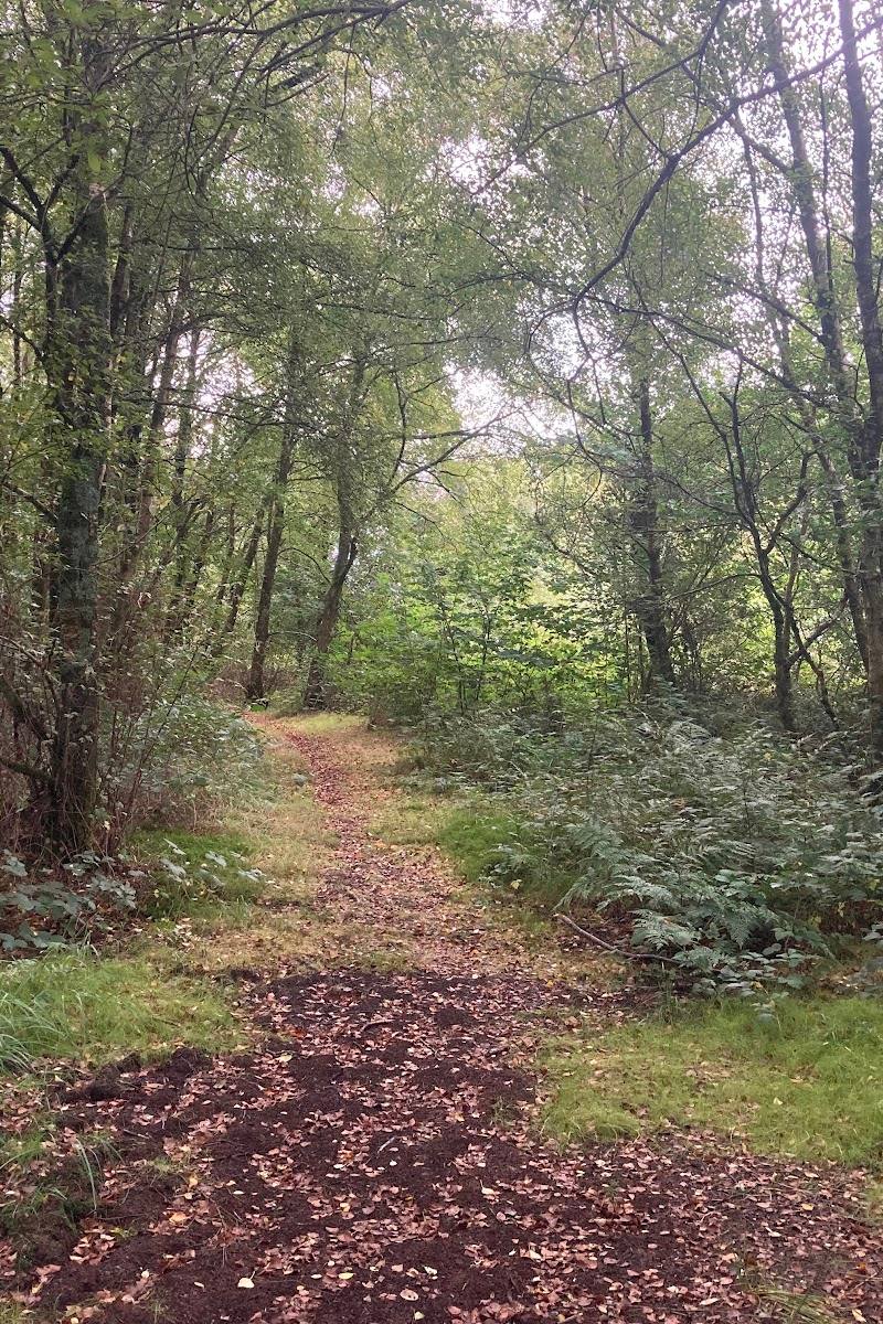
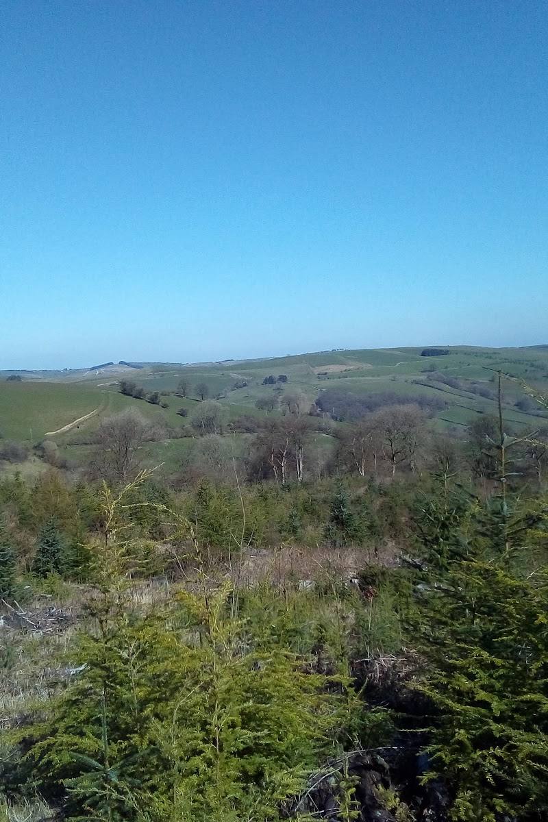
8.1Radnor Forest is a broad upland landscape of forested slopes, open moorland and deep ravines, crossed by old drovers’ roads and paths. A demanding circuit climbs to nearly 2,000 feet before passing through pine-scented tracks and opening out to big skies.
This is more than a woodland visit: Radnor Forest combines upland views, heath, forest tracks and old drovers’ routes in one rugged landscape. The long circuit’s climb to the Whimble and the gorge waterfall at Water-break-its-neck give a walk here a strong sense of scale and discovery.
Wild · Big-sky · Remote · Dramatic
Find your way
Open mapRadnor Forest, Powys, Mid Wales
Opening map…
Know this place a little better?
The experience
Choose a short local path if you want a taste of the forest, or make a full day of the demanding New Radnor circuit. The longer walk climbs towards the Whimble, crosses forest and open upland, and can include the waterfall at Water-break-its-neck. Expect changeable weather and varied, sometimes soft or untarmacked ground.
Things to do
Walk the New Radnor circular route
The Friends of Radnor Forest describes a circuit from New Radnor that climbs towards the nearly 2,000-foot Whimble, crosses forest and open country, and returns by a gradual descent. Verify the route before setting out.
Full day
Follow a section of an old drovers’ road
Look for the characteristic clumps of Scots pines used as waymarks along local historic drovers’ routes.
Visit Water-break-its-neck waterfall
The Friends of Radnor Forest describes this as a waterfall at the end of a deep gorge and a historic day-trip destination. Check access and route conditions before visiting.
Explore the high moorland and forest slopes
A published Radnor Forest trail crosses open moorland plateaus and forested slopes, with views towards Rhos Fawr and Black Mixen. The trail is rated hard by AllTrails.
Full day
Make a day of it
Quick escape · 1–2 hours
A taste of the forest
- 01
Choose a public footpath or bridleway from a suitable local starting point and check its route and conditions before setting off.
- 02
Follow a manageable section of forest track, paying attention to where the wooded slopes give way to open ground.
- 03
Return by the same route unless you have verified a suitable circular path.
Half day · Half day or longer
New Radnor, the Whimble and the forest
- 01
Start from New Radnor and follow a verified route towards the Whimble.
- 02
Allow time for the steep early climb and the views from the high ground.
- 03
Continue only if conditions, daylight and your route plan suit the plateau and forest sections.
- 04
Return to New Radnor; check current refreshment options before relying on them.
Full Wildland day · Full day
The full Radnor Forest circuit
- 01
Plan the 14.1-mile loop described by AllTrails and confirm its current route details before departure.
- 02
Prepare for a hard walk with substantial ascent, exposed high ground and soft peat tracks.
- 03
Take in the open moorland plateau and forested slopes, with views towards Rhos Fawr and Black Mixen.
- 04
If the chosen route and conditions allow, pause at Water-break-its-neck before completing the loop.
Verified history
The supplied trail description identifies Radnor as a medieval royal hunting forest, with rules intended to protect game. The Friends of Radnor Forest also describes local drovers’ roads and their distinctive clumps of Scots pines used as waymarks. Water-break-its-neck was a day-trip destination for visitors to Llandrindod Wells in the nineteenth century, who travelled there by pony cab, according to the Friends’ account.
Hidden details
Scots pine waymarks — On historic drovers’ routes, look for distinctive clumps of Scots pines used as waymarks.
The landscape changes beyond the trees — The described circuit moves between pine-scented forest tracks, open upland and deep ravines. Notice how the character of the route changes as the woodland opens out.
When to go
· Start early for a long route, especially when walking the high ground.
The supplied sources do not establish a best month. They describe the landscape as enjoyable in both summer and winter; conditions on exposed upland routes should guide the choice of day.
High ground is exposed and routes may cross soft peat. AllTrails recommends sturdy, water-resistant boots and a windproof layer. Check the forecast and carry suitable equipment.
The route
- ascent
- 2,480 ft elevation gain
- surface
- Exposed high ground and soft peat tracks; local rights of way also include untarmacked, stoned and field-crossing sections.
- distance
- 14.1 miles
- difficulty
- Hard
- waymarking
- Historic drovers’ roads have distinctive clumps of Scots pines as waymarks; waymarking for the full route is not established.
- route shape
- Loop
- start point
- New Radnor is the start described for the circular walk on the Friends of Radnor Forest site. AllTrails describes a separate 14.1-mile loop; confirm its start point and route before setting out.
- parking start
- The Friends of Radnor Forest identifies free car parking at Mutton Dingle in New Radnor, Water-breaks-its-Neck and Fishpools near Bleddfa for cycling routes. Confirm which is suitable for the selected walking route.
- Whimble
- Open moorland plateaus and forested slopes
- Views towards Rhos Fawr and Black Mixen
- Water-break-its-neck waterfall
- Historic drovers’ roads
Worth pairing with
New Radnor
A practical starting point for the described circular walk; the Friends of Radnor Forest notes that walkers can refresh themselves in the village afterwards. Check current facilities.
Water-break-its-neck
A waterfall in a deep gorge, described by the Friends of Radnor Forest as a notable local stop and historic excursion destination.
What to look for
Look for the distinctive clumps of Scots pine used as waymarks along historic drovers’ roads. On open ground, notice the change from forest tracks to heath and peat, and watch the skies for red kites and other birds of prey.
The story
Historic drovers’ roads; medieval royal hunting forest
Best time to go
The supplied sources describe the area as rewarding in both summer and winter. High routes are exposed, so choose a settled forecast and be prepared for wet, soft ground.
A clear, settled day is best for the high ground and views. Start early for the long circuit and allow time for the climb and changing conditions.
How long to spend
Full day
Perfect for
Walkers · Photographers · Wildlife lovers · Cyclists · Groups
Before you go
Google rating
Practical information
Opening & access
The area includes Open Access Land, Common Land and Public Rights of Way. Routes and surfaces vary; check the route and current conditions before setting out.
Check before visiting
Parking
The Friends of Radnor Forest identifies free car parking at Mutton Dingle in New Radnor, Water-breaks-its-Neck and Fishpools near Bleddfa for cycling routes. Check current availability and suitability for your chosen walk.
Check before visiting
Toilets
Check before visiting
Check before visiting
Food & drink
The Friends of Radnor Forest mentions refreshments in New Radnor after the circular walk; check current options before visiting.
Check before visiting
Dogs
Check before visiting
Check before visiting
Accessibility
Not established as accessible. Paths include untarmacked, stoned and field-crossing sections; the described high-level circuit is strenuous and crosses exposed ground.
Cost
Check before visiting
Check before visiting
Water
Waterfall
Gallery
Place photographs
Keep exploring
Around Fforest Glud / Radnor Forest
Within 50 km · approximate straight-line distances