Across parts of Devon and Somerset, south-west England
Exmoor National Park
Mixed-habitat reserve
Source image
7.5
Wildland
Full day,Weekend,Multi-day
Time
Check
Cost
Wild
Feel
Why it's Wildland
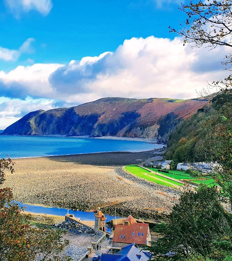
7.5A landscape of open moor, wooded valleys and sea cliffs, where a walk can lead from pony-grazed uplands to ancient oak woodland or the edge of the Bristol Channel.
Exmoor brings together moorland, wooded combes, river valleys and a dramatic stretch of coast in one expansive landscape. Its extensive paths make it possible to choose anything from an accessible stroll to a longer, more demanding walk—and to find very different scenery along the way.
Wild · Atmospheric · Big-sky
Find your way
Open mapAcross parts of Devon and Somerset, south-west England
Opening map…
Know this place a little better?
The experience
Explore a wide-ranging national park on foot. Start with a short official stroll, choose a longer route for a deeper landscape experience, or use the park’s walking guides to plan a full day around distinct scenery. Exmoor’s broad scale means route, start point and conditions matter; the supplied map pin is not a trailhead.
Things to do
Choose an official Exmoor walk
Browse Exmoor Strolls, shorter Exmoor Explorers and longer Exmoor Classics to match the day and your walking ability. The park authority says there are more than 1,000 km of footpaths and bridleways.
Under 1 hour to a full day, depending on route
Walk a stretch of the South West Coast Path
The coastal path passes through Exmoor. Choose a suitable section and check its route details and current conditions before starting.
Explore Exmoor after dark
The park authority lists a Dark Sky Discovery Trail described as an easy walk under some of the darkest skies in the country. Check the official trail details before visiting.
Make a day of it
Quick escape · Under 1 hour to 2–3 hours, depending on route
A short Exmoor stroll
- 01
Choose an Exmoor Stroll or Exmoor Explorer from the park authority’s walking pages.
- 02
Check the route’s access grading and current path news before setting out.
- 03
Follow the published route and take time to notice the change between moor, woodland, valley and coast where the chosen walk includes them.
Half day · Half day
Make a half day of it
- 01
Pick one of the park authority’s shorter Explorer walks, which are described as taking less than an hour to two or three hours.
- 02
Use the official route information and map link to follow the walk rather than relying on the general map pin.
- 03
Allow time to pause at the route’s landscape, wildlife or heritage highlights, then check local facilities independently before travelling.
Full Wildland day · Full day
Explore Exmoor over a full day
- 01
Choose a longer Exmoor Classic or a section of a long-distance route from the official walking information.
- 02
Plan the start, finish, transport and any shorter alternative before departure; the park-wide map pin is not a route start.
- 03
Check path news and conditions, then spend the day exploring the landscape along the selected route.
Verified history
Exmoor’s landscape records human activity from the Mesolithic to the present, according to the National Park Authority. National Geographic describes prehistoric standing stones and burial mounds, traces of medieval settlements and surviving churches across the park. The supplied sources do not establish a detailed history for the exact map pin.
Hidden details
Look for traces of earlier settlement — National Geographic notes prehistoric standing stones and burial mounds, as well as remnants of medieval settlements and churches, across Exmoor. These are park-wide details, not confirmed features at the supplied map pin; check location and access before visiting a particular site.
When to go
April · May · September · October · Choose daylight hours for walking; check local conditions and daylight length for the route. The Dark Sky Discovery Trail is an option after dark.
The supplied travel guide recommends spring and early autumn for walking conditions, colourful landscapes and fewer visitors. Route conditions and weather vary, so check before setting out.
Check the local forecast and official path news before walking. Exposed moorland and coastal paths can be affected by changing weather; dress and plan for the conditions.
Worth pairing with
Valley of Rocks
A striking dry valley near Lynton, described in the supplied guide as a coastal landscape with unusual rock formations and feral goats. Check local access and conditions before visiting.
Tarr Steps
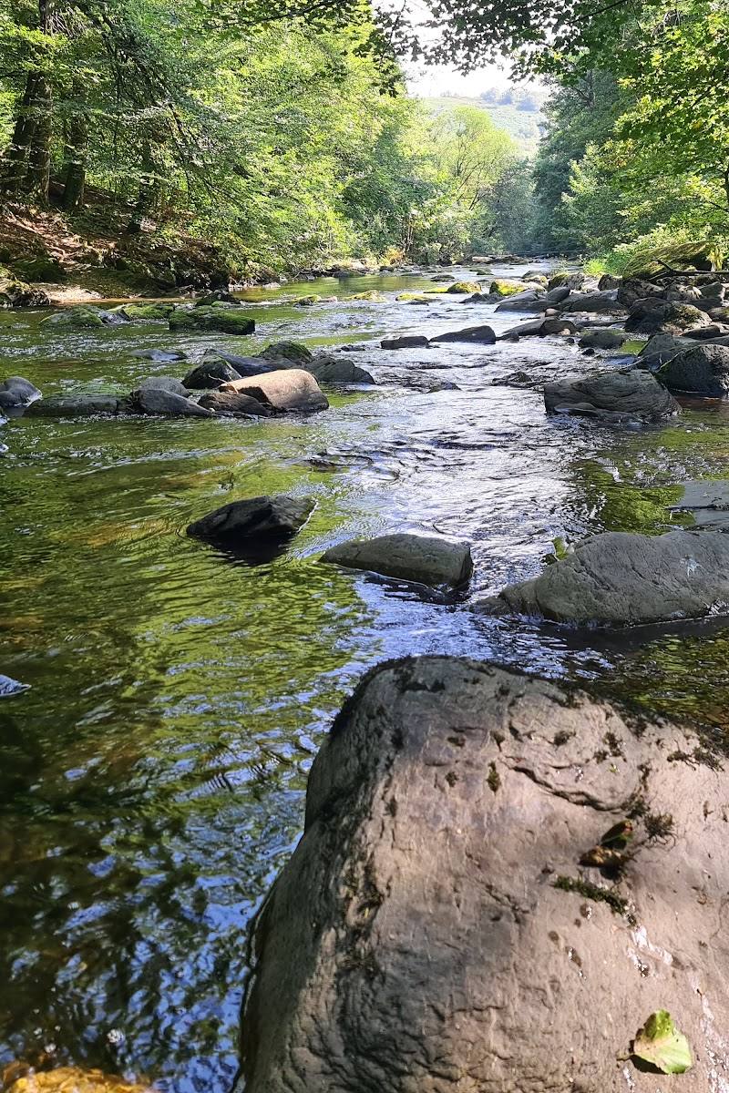
A stone clapper bridge over the River Barle, with woodland and walking routes nearby. Check current access and route conditions before travelling.
Dunkery Beacon
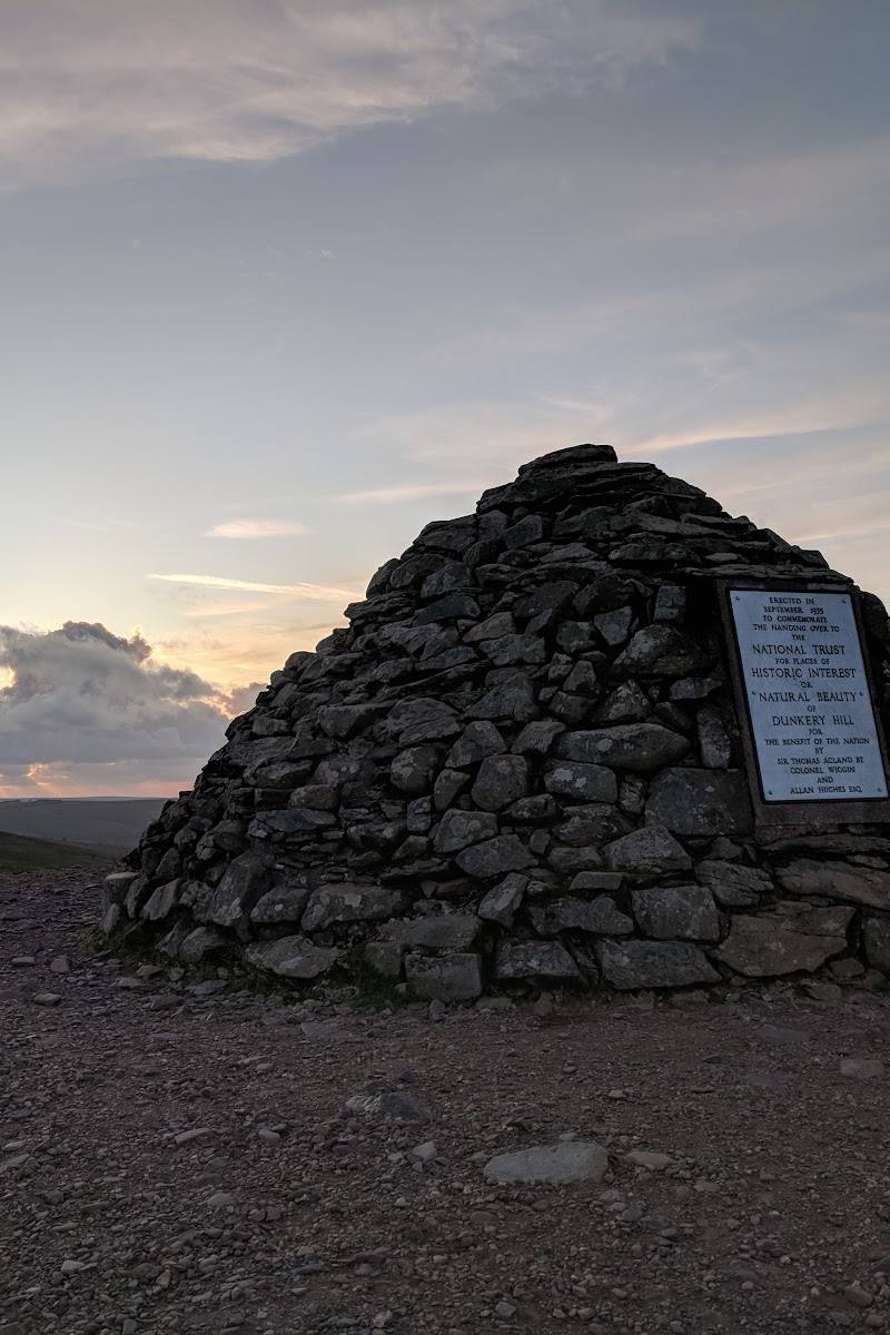
A high point on Exmoor with wide views, identified by the supplied guide as a walking and viewpoint destination. Check route and parking details before setting out.
What to look for
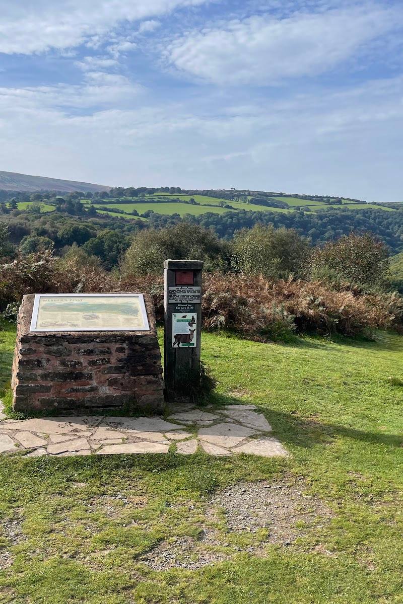
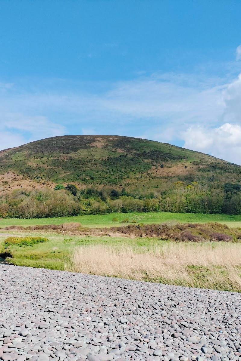
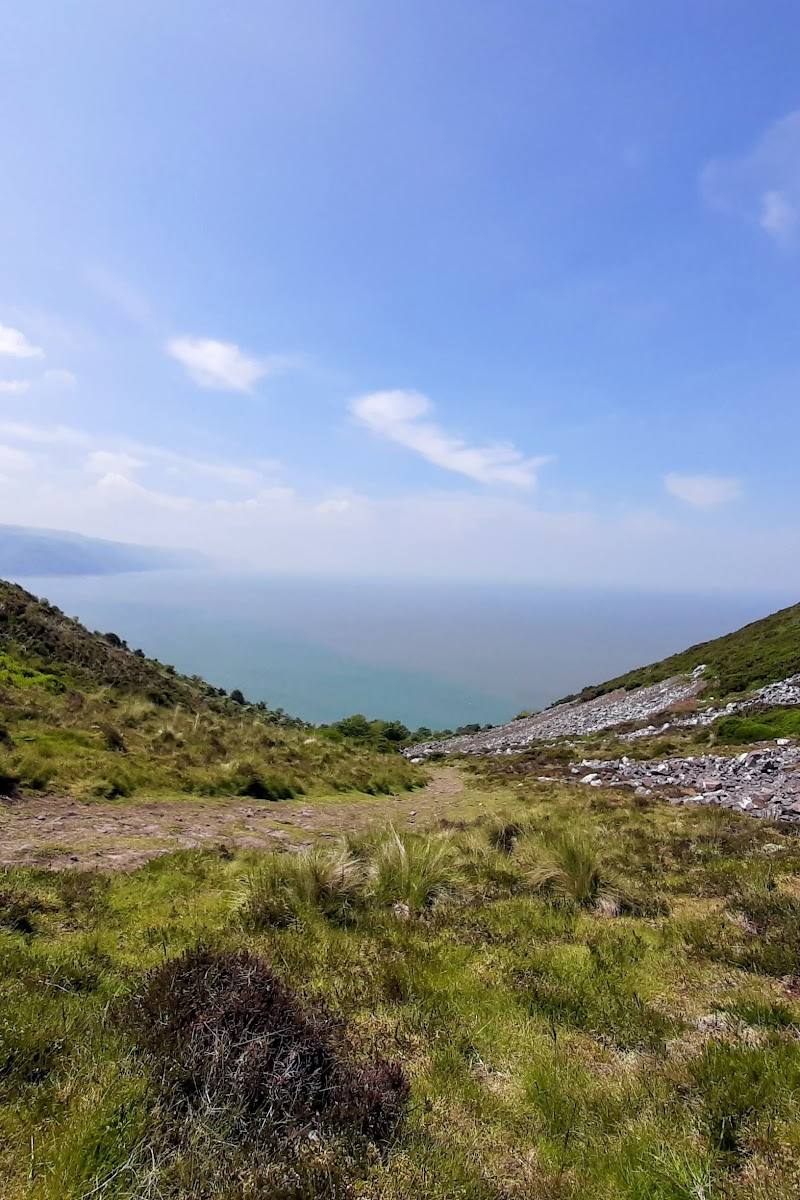
Notice how the landscape changes between open moorland, wooded combes, river valleys and coastal cliffs. Exmoor’s history also remains visible in prehistoric standing stones and burial mounds, medieval settlement remains and churches.
The story
Archaeology,Literature
Best time to go
Spring and early autumn
Spring and early autumn are identified by the supplied travel guide as favourable seasons for walking. For a specific walk, check the forecast, route conditions and official path news before setting out.
How long to spend
Full day,Weekend,Multi-day
Perfect for
Walkers · Photographers · Wildlife lovers · History lovers
Before you go
Practical information
Opening & access
Exmoor has an extensive network of public footpaths, bridleways and open-access land, but it is not all publicly owned. Check the official path updates and local access information before setting out; the supplied map pin is a general place pin, not an entrance or parking location.
Check before visiting
Parking
No specific parking location or availability is confirmed for the supplied map pin. Check the official Exmoor National Park information for suitable route start points and parking before travelling.
Check before visiting
Toilets
Check before visiting
Check before visiting
Food & drink
Check before visiting
Check before visiting
Dogs
Check before visiting; no park-wide dog rules are confirmed by the supplied sources.
Check before visiting
Accessibility
The park authority publishes short step- and stile-free Exmoor Strolls, with some routes suitable for wheelchairs and buggies. Accessibility varies by route; check the individual route grading and current path updates. The source row reports an accessible car park and entrance, but does not identify which facility these refer to.
Check before visiting
Cost
Check before visiting
Check before visiting
Water
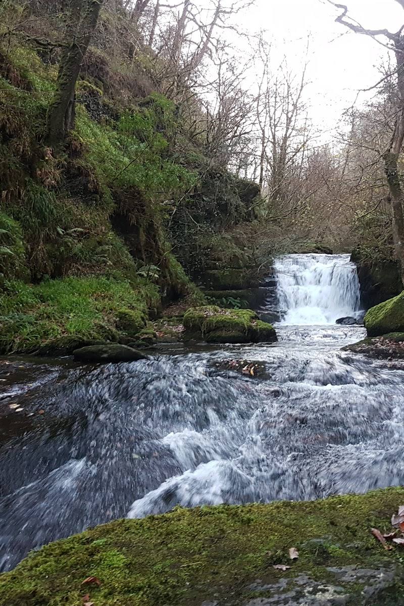
River,Sea,Waterfall
Gallery
Place photographsKeep exploring
Around Exmoor National Park
Within 50 km · approximate straight-line distances