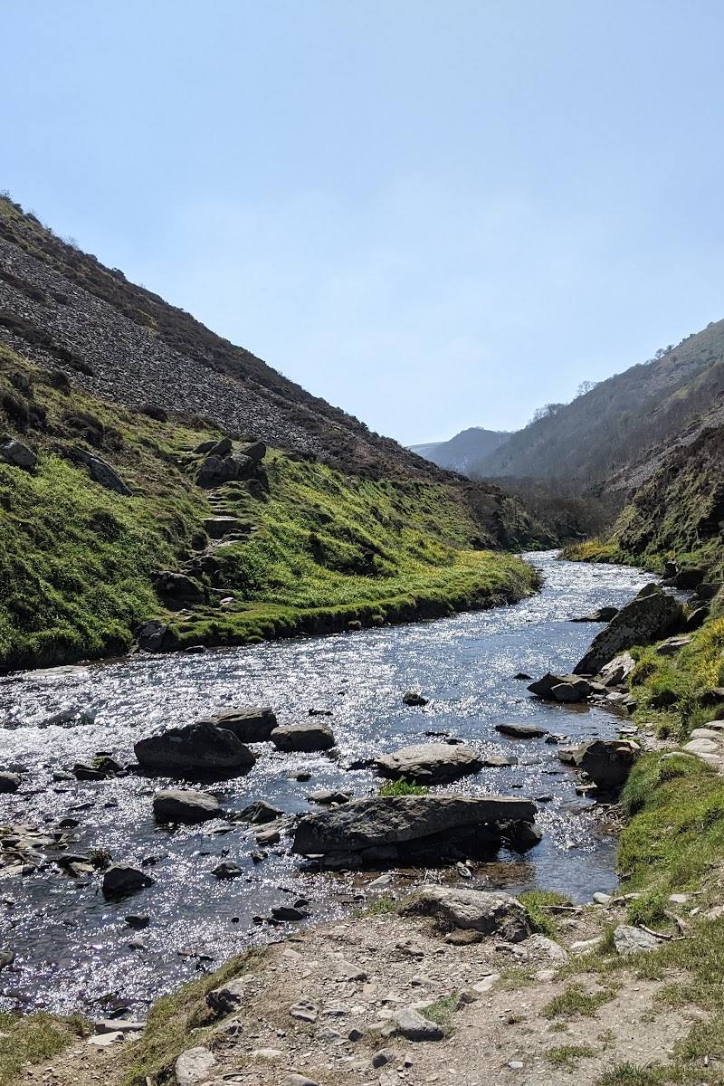
8.1
Wildland
1–2 hours
Time
Check
Cost
Wild
Feel
Why it's Wildland
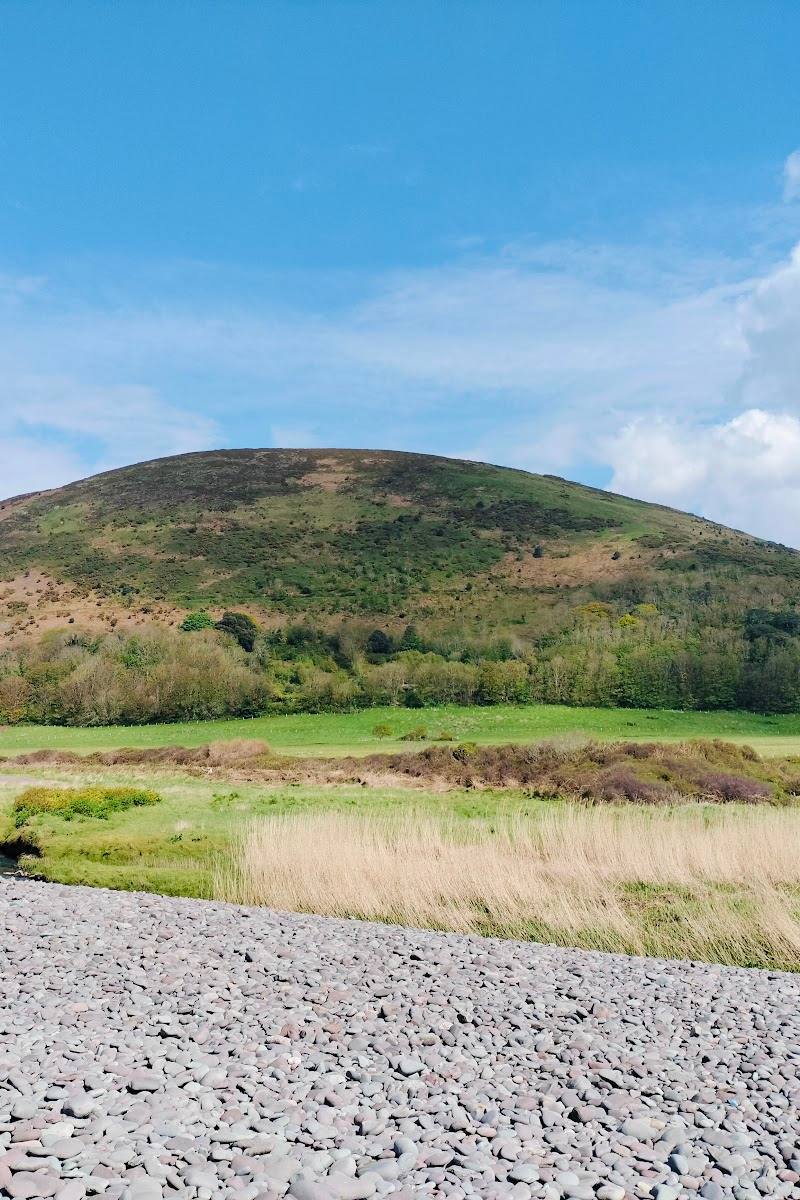
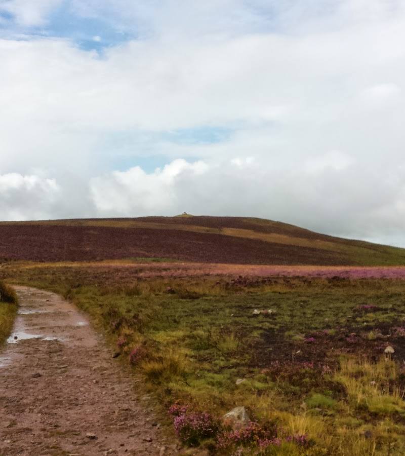
8.1At 519 metres, Dunkery Beacon is Exmoor’s highest point: a heather-covered summit marked by a cairn, with ancient burial mounds on the hill and far-reaching views.
This is more than a high point on a map: Exmoor’s open heather moorland, a summit cairn and evidence of ancient burial make the climb feel grounded in both landscape and time. The National Park Authority’s triangular route makes the summit achievable as a short walk, though exposed weather can change the feel of the day quickly.
Wild · Big-sky · Dramatic
Find your way
Open mapDunkery Hill, Exmoor, Somerset
Opening map…
Know this place a little better?
The experience
Walk the National Park Authority’s 3.9 km triangular route from the car park beside the bridge, climb to the summit cairn and take in the open moorland views. Allow about 1 hour 10 minutes for the route; check the forecast and current route information before setting off.
Things to do
Walk the triangular summit route
Follow the Exmoor National Park Authority route from the car park beside the bridge at the bottom of Dunkery Hill to the summit and back.
About 1 hour 10 minutes; route distance 3.9 km
See the summit cairn and burial mounds
At the summit, look for the cairn and take time to notice the ancient burial mounds associated with Dunkery Hill.
Look out for red deer
The National Park Authority identifies red deer as wildlife visitors may have a chance to spot on the route.
Make a day of it
Quick escape · About 1 hour 10 minutes
Quick summit walk
- 01
Start at the car park beside the bridge at the bottom of Dunkery Hill.
- 02
Follow the National Park Authority’s triangular route up to Dunkery Beacon.
- 03
Pause at the summit cairn and look across the surrounding moorland.
- 04
Complete the route back to the start.
Half day · Allow more than the 1 hour 10 minute route time
Summit and linger on the moor
- 01
Walk the published triangular route from the car park beside the bridge to the summit.
- 02
Spend time at the cairn and look for the ancient burial mounds described on Dunkery Hill.
- 03
Take in the surrounding Exmoor landscape before completing the return leg.
Verified history
The supplied sources describe ancient burial mounds on Dunkery Hill and a cairn at the summit. The Best of Exmoor source associates the mounds with the Bronze Age, but the supplied material does not give a more detailed account of their date or excavation history.
Hidden details
Ancient burial mounds on Dunkery Hill — The hill’s story is older than the modern summit walk: the supplied sources report burial mounds and cairns among its archaeological remains.
When to go
· Check the forecast for visibility and conditions; no particular time of day is established by the supplied sources.
The supplied sources describe heather moorland and the summit route but do not establish seasonal highlights or a recommended visiting season.
Check the forecast before setting out. Dunkery is an exposed summit; the supplied sources do not provide detailed weather or route-condition guidance.
The route
- distance
- 3.9 km (about 2.5 miles)
- duration
- About 1 hour 10 minutes
- route shape
- Triangular route
- start point
- Car park next to the bridge at the bottom of Dunkery Hill
- parking start
- The published route starts from the car park beside the bridge at the bottom of Dunkery Hill; check current parking arrangements.
- shorter alternative
- A shorter alternative is not detailed in the supplied Exmoor National Park Authority route information.
- Summit of Exmoor’s highest point
- Cairn at Dunkery Beacon
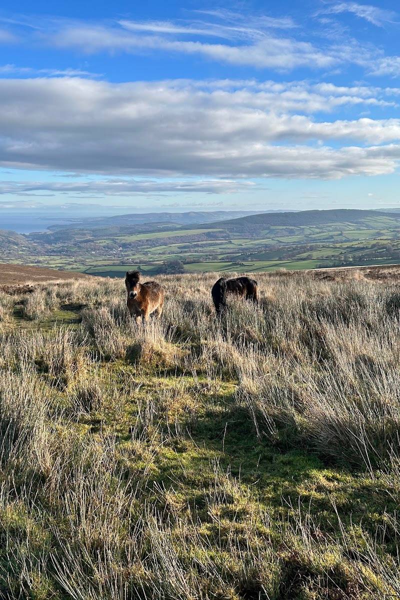
- Wide views from the summit
- Chance to spot red deer
What to look for
- 01
At the summit, look for the cairn and the ancient burial mounds described on Dunkery Hill. From the high ground, take in the broad Exmoor views
- 02
the National Park Authority notes the possibility of spotting red deer.
The story
Ancient burial mounds and a summit cairn
Best time to go
Check conditions before visiting; the supplied sources do not establish a best season.
The supplied sources do not identify a best time of day. Check the weather and visibility forecast before travelling for views.
How long to spend
1–2 hours
Perfect for
Walkers · Photographers · History lovers
Before you go
Address
Google rating
Practical information
Opening & access
An Exmoor National Park Authority walking route starts from the car park beside the bridge at the bottom of Dunkery Hill and climbs to the summit. Check current access and parking arrangements before setting out.
Check before visiting
Parking
The Exmoor National Park Authority route starts at a car park beside a bridge at the bottom of Dunkery Hill. Check current parking details before travel.
Check before visiting
Toilets
Check before visiting
Check before visiting
Food & drink
Check before visiting
Check before visiting
Dogs
Check before visiting
Check before visiting
Accessibility
The supplied route information describes a walk to the summit but does not establish accessible facilities or path suitability. Check the official route accessibility information before visiting.
Check before visiting
Cost
Check before visiting
Check before visiting
Gallery
Place photographs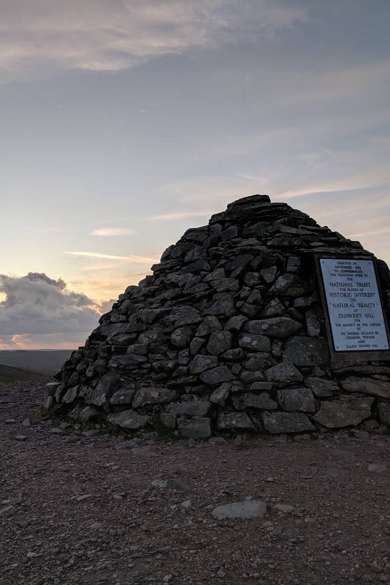
Keep exploring
Around Dunkery Beacon
Within 50 km · approximate straight-line distances