Bossington Hill, Minehead, Somerset
Bossington Hill
route · Countryside walk
Place photograph
7.4
Wildland
2–2.5 hours
Time
Check
Cost
Wild
Feel
Why it's Wildland
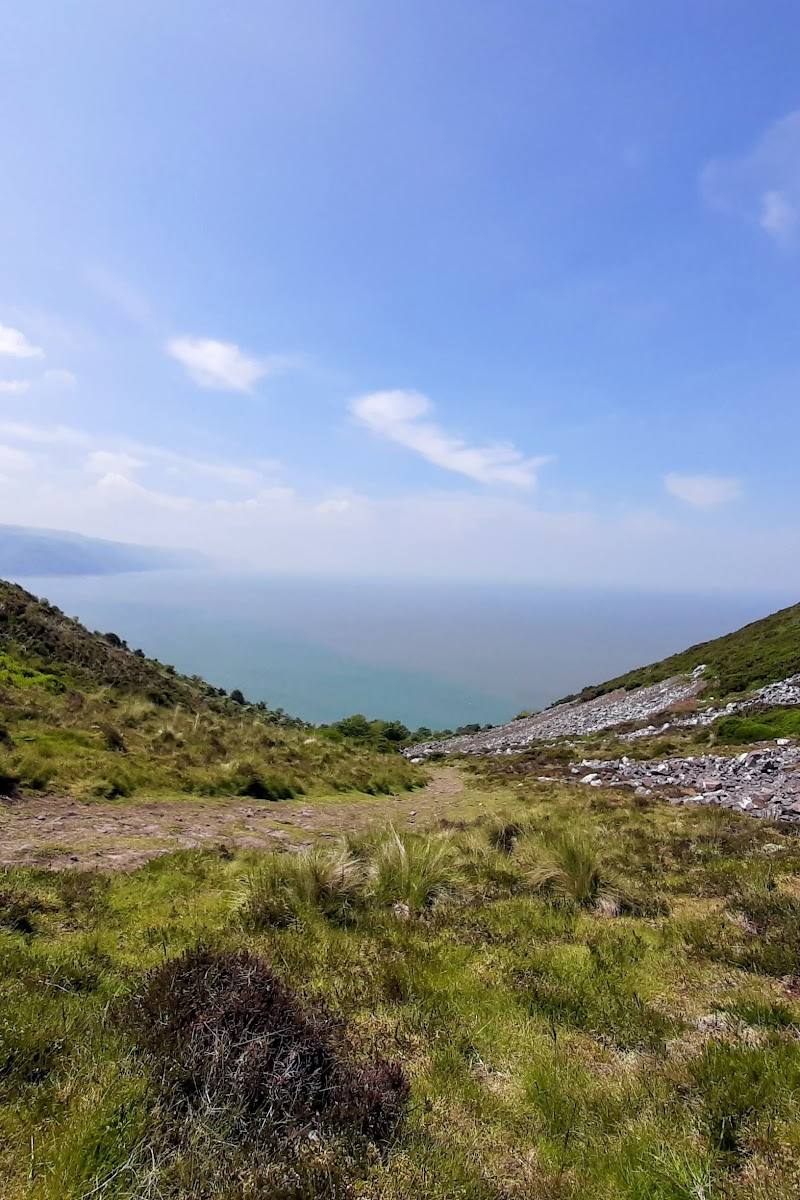
7.4A steep climb from woodland to open hillside leads to views over Exmoor, the Bristol Channel and Bossington Beach, before a descent towards Hurlstone Point.
This is a rewarding Exmoor hill walk with a proper mix of woodland, open heights and coastal views. The short circular route is manageable in a few hours, but steep, rough and narrow sections call for care and suitable footwear.
Wild · Dramatic · Big-sky
Find your way
Open mapBossington Hill, Minehead, Somerset
Opening map…
Know this place a little better?
The experience
Walk the circular route from Bossington car park, climbing through woodland and open hillside to the top of Bossington Hill. On a clear day, look out over the surrounding countryside and Bristol Channel; the return leg descends towards Hurlstone Point and views over Bossington Beach. Expect steep, rough and narrow sections.
Things to do
Climb from the woods to the hilltop
Follow the circular route’s climb through woodland and open hillside to the top of Bossington Hill.
Part of a 2–2.5-hour circular walk
Pause for the Bristol Channel views
From the hilltop, look across the surrounding countryside and Bristol Channel on a clear day.
Look towards Hurlstone Point and Bossington Beach
The route descends towards Hurlstone Point and returns with views over Bossington Beach.
Make a day of it
Quick escape · 2–2.5 hours
Quick Escape — Bossington Hill circular
- 01
Start at Bossington car park.
- 02
Climb through woodland and open hillside to the top of Bossington Hill.
- 03
Take in the views over the countryside and Bristol Channel when conditions are clear.
- 04
Descend towards Hurlstone Point and return with views over Bossington Beach.
Half day · Half day
Make a half day of it — walk to three picturesque villages
- 01
Begin at Bossington car park.
- 02
Follow the described 5.8-mile walk linking three villages, with views of the Exmoor coastline and Selworthy Beacon.
- 03
Continue through the shaded paths of Selworthy and Allerford Woods.
- 04
Plan for one long, very steep climb; check the route details and conditions before setting out.
When to go
· A clear, settled time of day for the views; no specific hour is established by the sources.
The supplied sources do not identify a best season. Route conditions matter: steep, rough and narrow sections require particular care in wet or windy weather.
The route source warns that wet and windy conditions make some sections especially challenging. Appropriate footwear is advised.
The route
- ascent
- 843 ft
- surface
- Steep and rough sections; narrow coastal paths
- distance
- 3.3 miles
- duration
- 2–2.5 hours
- difficulty
- Moderate; steep, rough and narrow sections
- route shape
- Loop
- start point
- Bossington car park
- parking start
- Bossington car park; the South West Coast Path source gives postcode TA24 8HF. Check current parking arrangements before travelling.
- Climb through woodland and open hillside
- Views over the surrounding countryside and Bristol Channel on a clear day
- Descent towards Hurlstone Point
- Return views over Bossington Beach
Worth pairing with
Three picturesque villages walk
A separate half-day walk from Bossington car park links three villages and includes Exmoor coastal views, Selworthy Beacon, and paths through Selworthy and Allerford Woods.
What to look for
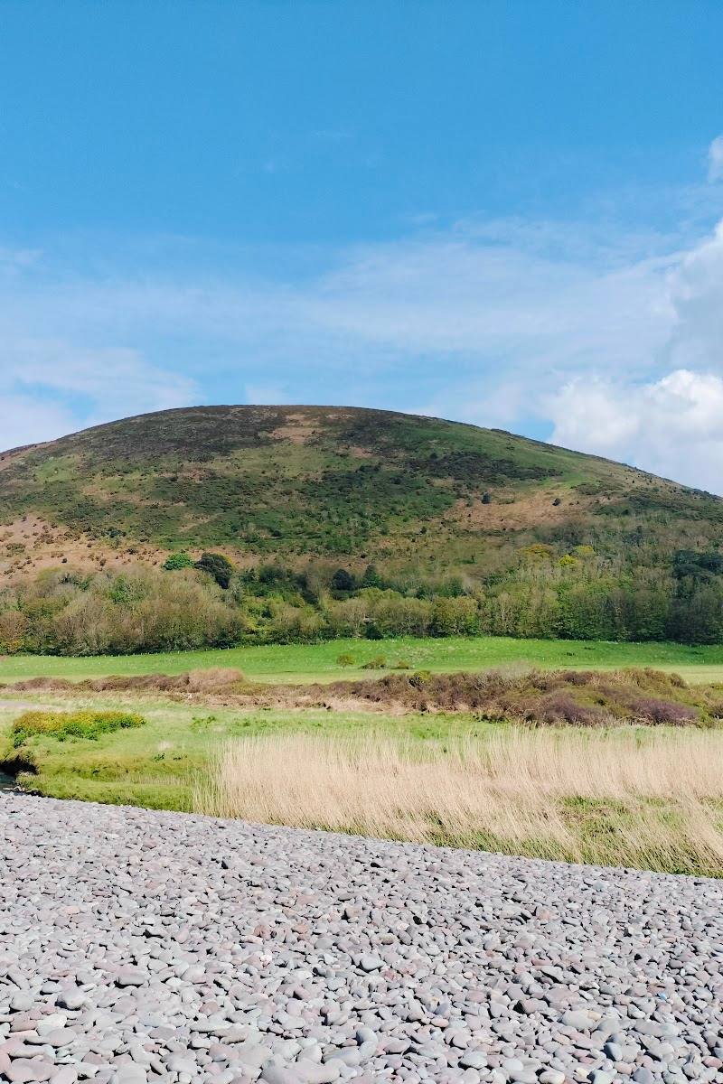
Notice how the walk changes from woodland to open hillside, then look for views towards the Bristol Channel, Hurlstone Point and Bossington Beach.
Best time to go
Check conditions before setting out; the available route source warns that wet and windy weather makes some sections especially challenging.
Choose a clear, settled day for the views. The route source advises particular care in wet and windy conditions.
How long to spend
2–2.5 hours
Perfect for
Walkers · Photographers
Route at a glance
Duration
2–2.5 hours
Terrain
Hills, Coastal
Parking / start
Bossington car park is listed as the start point. Check current parking arrangements before travelling.
Before you go
Address
Listed hours
- Monday: Open 24 hours
- Tuesday: Open 24 hours
- Wednesday: Open 24 hours
- Thursday: Open 24 hours
- Friday: Open 24 hours
- Saturday: Open 24 hours
- Sunday: Open 24 hours
Check before visiting.
Google rating
Practical information
Opening & access
A circular walking route is described from Bossington car park. The route includes steep, rough and narrow sections; take care, particularly in wet or windy conditions.
Parking
Bossington car park is listed as the start point. Check current parking arrangements before travelling.
Check before visiting
Toilets
Check before visiting
Check before visiting
Food & drink
Check before visiting
Check before visiting
Dogs
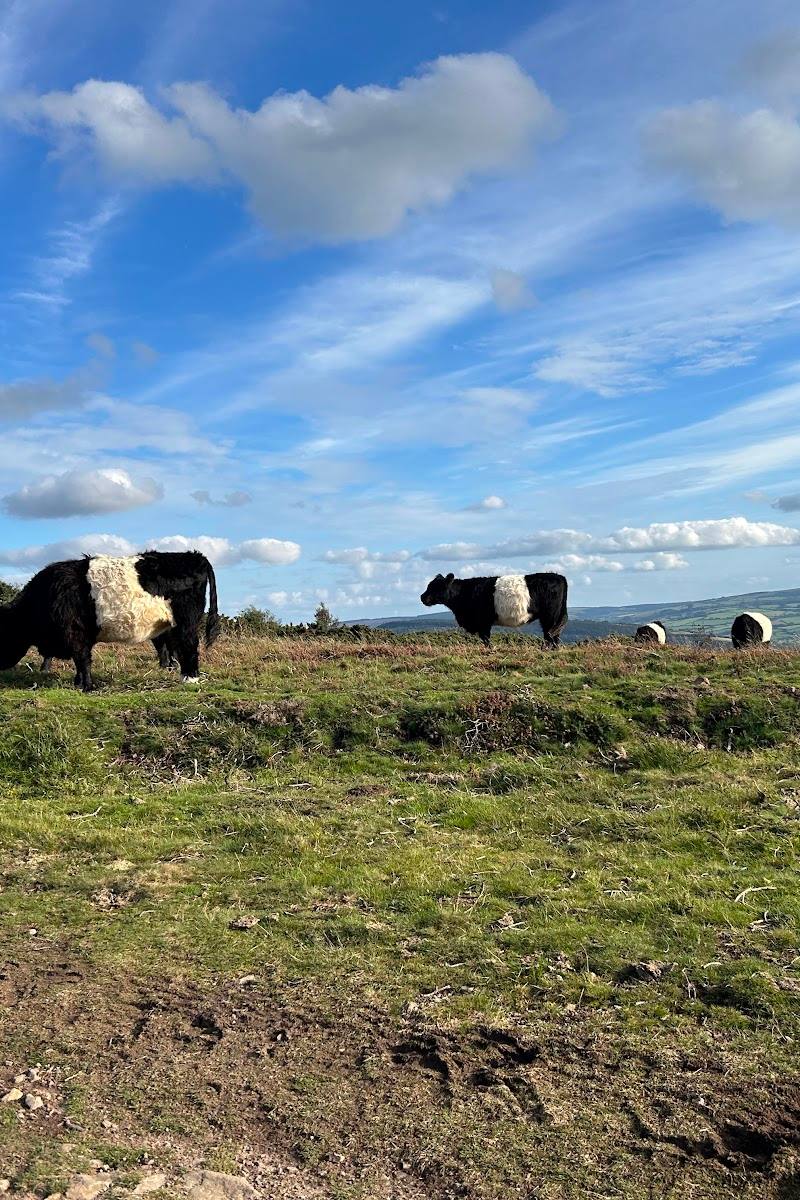
Livestock may be present on the route. Take care with dogs; check current local guidance before visiting.
Check before visiting
Accessibility
The source row reports a wheelchair-accessible car park; no evidence confirms that the walking route is wheelchair accessible. The described route has steep, rough and narrow sections.
Cost
Check before visiting
Check before visiting
Gallery
Place photographs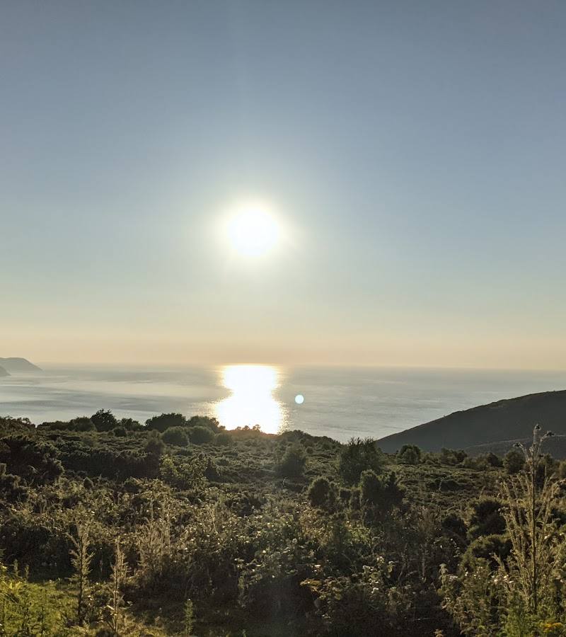
Keep exploring
Around Bossington Hill
Within 50 km · approximate straight-line distances