Near Keld, Swaledale, North Yorkshire
East Gill Force
Waterside landscape
Place photograph
6.3
Wildland
1–2 hours
Time
Check
Cost
Atmospheric
Feel
Why it's Wildland
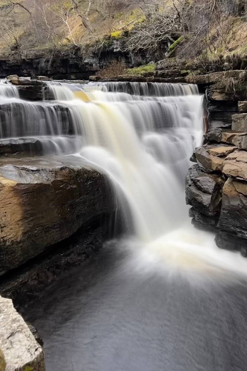
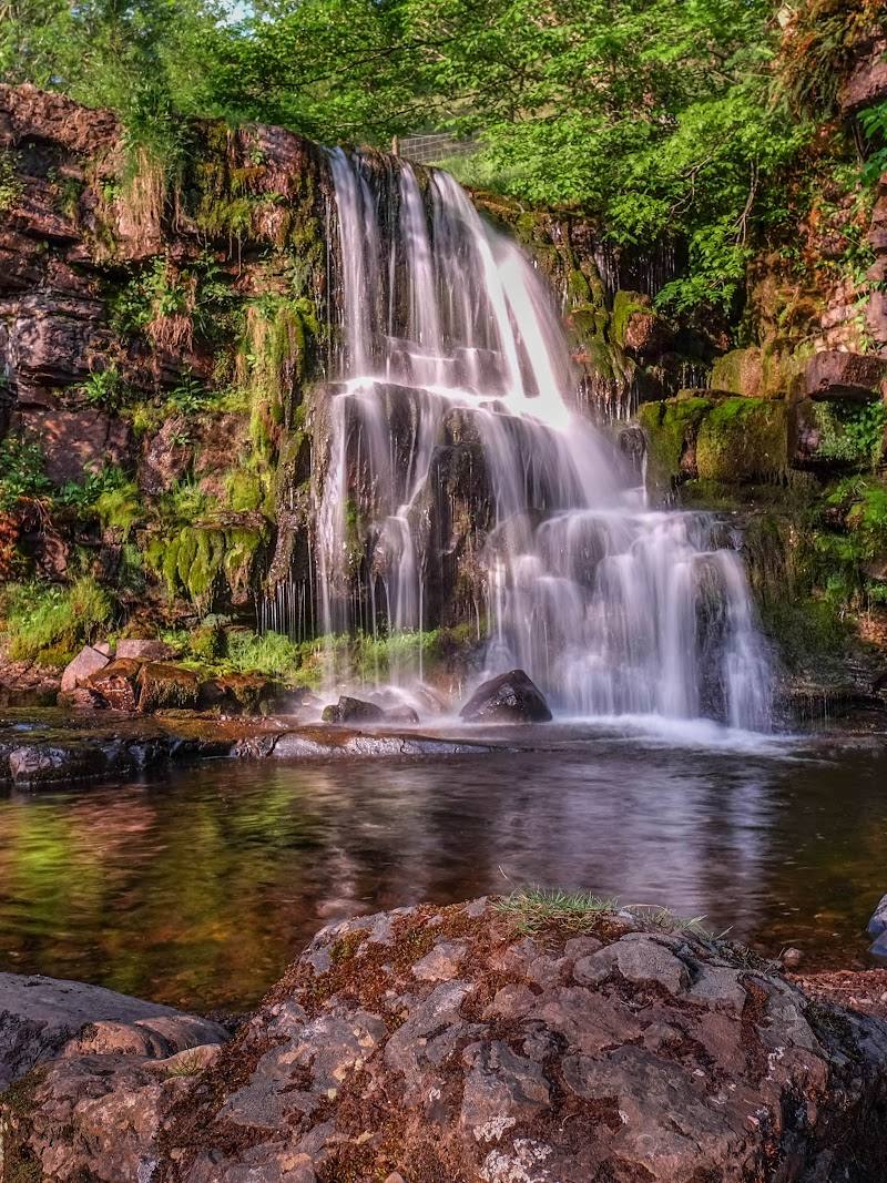
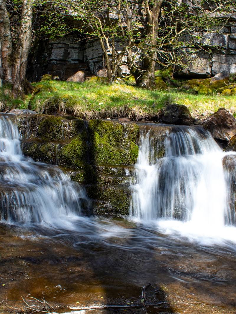
6.3East Gill tumbles into the River Swale near Keld in a pair of falls and stepped cascades, tucked into woodland close to the hamlet.
A short approach leads to a notably layered waterfall scene: the lower cascades, a bridge and a closer view of the falls make this more than a roadside glance. It is a rewarding stop on a walk around Keld, though the descent is steep.
Atmospheric · Peaceful
Find your way
Open mapNear Keld, Swaledale, North Yorkshire
Opening map…
Know this place a little better?
The experience
Allow around 1–2 hours for the short walk from Keld, time at the falls and the return. The route description gives a way to view the lower falls before crossing the bridge to reach the falls; expect a steep descent.
Things to do
See the lower falls before crossing the bridge
Follow the path down towards the river and take the branch to view the lower falls from this side before retracing your steps.
Check before visiting
Cross the bridge for a closer look
Return to the bridge, cross it and head right towards the falls, as described in the route directions.
Check before visiting
Walk on to Kisdon Force
East Gill Force is included in a longer walking route that also visits Kisdon Force; consult the route guide before attempting it.
2.5–3.5 hours for the described 5.8-mile route
Make a day of it
Quick escape · Allow around 1–2 hours
Quick Escape: East Gill Force
- 01
Start from Keld; the described approach begins at the camping car park.
- 02
Follow the footpath towards the river and take the left branch down towards the falls.
- 03
Pause before crossing the bridge for a view of the lower falls, then retrace your steps, cross the bridge and continue to the falls.
- 04
Return by the same way, allowing for the steep descent and climb.
Half day · Check route length and conditions before setting out
Make a Half Day of It: Keld Waterfalls
- 01
Use East Gill Force as one stop on a longer walk from Keld.
- 02
A supplied route guide describes a 5.8-mile, 2.5–3.5-hour walk from Muker that includes East Gill Force and Kisdon Force.
- 03
Check the full route, start-point logistics and current conditions before choosing this longer walk.
Hidden details
Two perspectives on the lower falls — The approach described by Fabulous North suggests viewing the lower falls before crossing the bridge, then returning for the view from beyond it.
When to go
· No specific time of day is verified.
The supplied sources do not establish a best season or reliable peak-flow period.
The approach has a steep descent. Check weather and path conditions before visiting.
The route
- distance
- Just over 0.5 km to the falls, according to the supplied route description; return distance not specified
- difficulty
- Steep descent noted; overall difficulty not specified
- route shape
- Out and back; retrace steps to cross the bridge and reach the falls
- start point
- Camping car park in Keld, as described by the supplied route source
- parking start
- Parking arrangements and availability are not confirmed; check before visiting
- View of the lower falls before crossing the bridge
- East Gill joining the River Swale
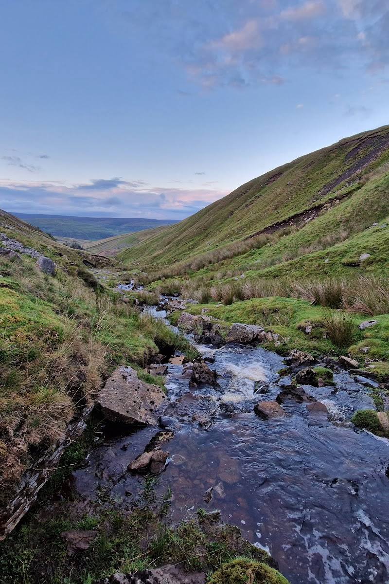
- Woodland setting near Keld
Worth pairing with
Kisdon Force
A second waterfall included with East Gill Force in a supplied longer walking route.
What to look for
- 01
Compare the lower falls from the near side of the river with the closer view after crossing the bridge
- 02
notice where East Gill joins the River Swale.
Best time to go
Check conditions before visiting; no specific seasonal peak is verified.
No specific best time is verified. Check the path and weather conditions before setting out.
How long to spend
1–2 hours
Perfect for
Walkers · Photographers
Before you go
Address
Google rating
Practical information
Opening & access
A footpath from Keld reaches the falls in just over 0.5 km. The approach includes a steep descent; check current access and conditions before setting out.
Check before visiting
Parking
A route description starts from the camping car park in Keld; parking availability, charges and current arrangements are not confirmed. Check before visiting.
Check before visiting
Toilets
Check before visiting
Check before visiting
Food & drink
Check before visiting
Check before visiting
Dogs
Check before visiting
Check before visiting
Accessibility
The described path includes a steep descent; suitability for visitors with limited mobility is not established. Check before visiting.
Check before visiting
Cost
Check before visiting
Check before visiting
Water
River
Gallery
Place photographs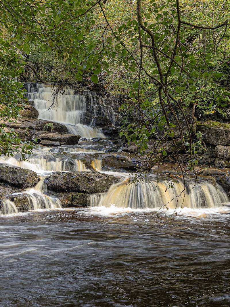
Keep exploring
Around East Gill Force
Within 50 km · approximate straight-line distances