Gunnerside, Swaledale, North Yorkshire
Gunnerside Gill
route · Heritage walk
Place photograph
8.0
Wildland
Half day
Time
Check
Cost
Dramatic
Feel
Why it's Wildland
8.0The valley’s quiet scenery conceals the remains of a major lead-mining landscape: old workings and buildings now sit among beck, waterfalls and open hillside.
Gunnerside Gill earns its place for the contrast between a dramatic Swaledale walk and the traces of an industrial landscape reclaimed by nature. The mine remains make this more than a scenic valley stroll, but steep ground, unguarded drops and variable route lengths call for preparation.
Dramatic · Atmospheric · Wild
Find your way
Open mapGunnerside, Swaledale, North Yorkshire
Opening map…
Know this place a little better?
The experience
Come for a substantial valley walk, following the beck towards old mining remains and higher ground. The route descriptions vary considerably in length, and the terrain includes steep sections; choose a route and distance that suit your experience, and check conditions before going.
Things to do
Walk beside Gunnerside Beck
Follow the valley path upstream alongside the beck, as described in a supplied circular-walk account.
Look for the lead-mining remains
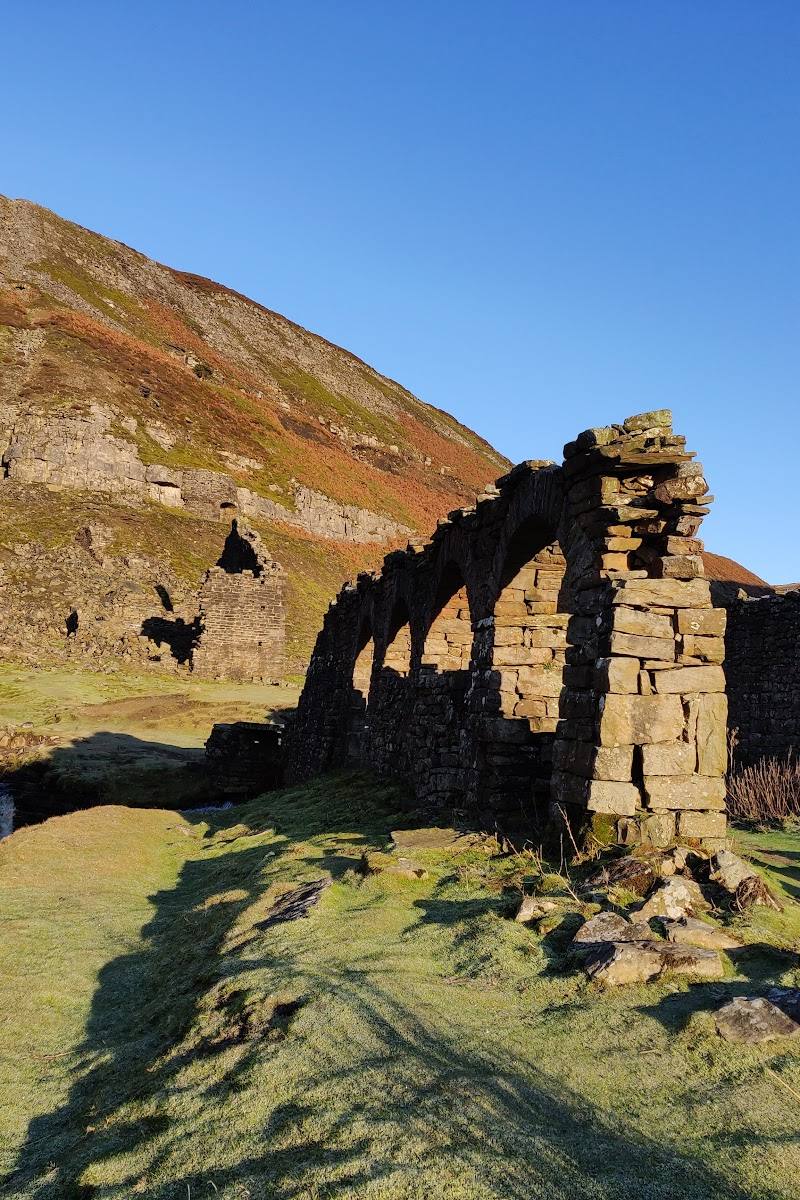
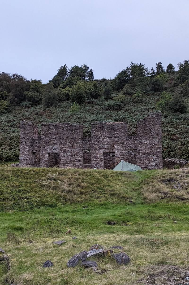
Notice the old buildings, workings and spoil heaps that reveal the Gill’s industrial past. Keep clear of unsafe mine features and edges.
Take in the waterfalls and valley views
The supplied walk account identifies waterfalls and views among the route’s highlights.
Make a day of it
Quick escape · Allow a few hours; the exact duration depends on route and exploring.
The Gill and its mining remains
- 01
Start from Gunnerside and follow a suitable path up the valley alongside Gunnerside Beck.
- 02
Explore the route’s views and visible remains of the old mining landscape from safe paths.
- 03
Turn back when the terrain or distance feels right; do not approach unguarded drops or abandoned mine openings.
Half day · Half day; route choice and pace will affect the time.
Make a half day of the valley
- 01
Begin in Gunnerside and follow the beck into the Gill.
- 02
Allow time to look at the old mining remains, waterfalls and changing views up the valley.
- 03
Use a published route description to choose a suitable turnaround or circuit; supplied accounts give differing distances.
- 04
Return to Gunnerside by your chosen route.
Verified history
Gunnerside Gill is described in a supplied source as the remains of a substantial lead-mining operation, active in the late eighteenth and early nineteenth centuries. The landscape still contains mining remains, including old buildings and workings. The supplied material does not establish a more detailed chronology or identify particular people involved.
Hidden details
A working valley beneath the scenery — The old mining remains offer a reminder that this landscape was once an industrial workplace, not simply the quiet valley seen today.
When to go
· No specific time is supported by the supplied sources; check the forecast and daylight for your chosen route.
The supplied sources do not establish a seasonal highlight. Ground conditions and safe daylight are more useful considerations for planning this walk.
Check the forecast and current ground conditions. Sources describe steep ascent, varied terrain and unguarded drops on parts of the walk; take care around streams, waterfalls and abandoned mine features.
The route
- surface
- Varied terrain; specific surface details are not established.
- distance
- A supplied walk guide gives 6–8 miles, varying with how much exploring is done; a separate video describes an approximately 11.3-mile circular walk. These appear to be different route choices, so verify the chosen route before setting out.
- difficulty
- Steep sections and varied terrain are reported; assess the route against your experience and conditions.
- route shape
- Circular routes are described by supplied accounts.
- start point
- Gunnerside is given as the starting village in supplied walk descriptions.
- parking start
- A video account reports limited parking in Gunnerside, approximately eight spaces, with an honesty box. Check current arrangements before travelling.
- shorter alternative
- Follow a suitable section of the valley path out and back rather than attempting a longer circular route; check a current map and conditions to plan a safe turnaround.
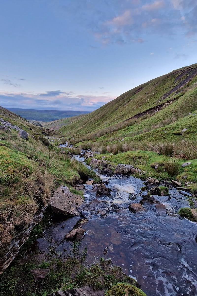
- Gunnerside Beck
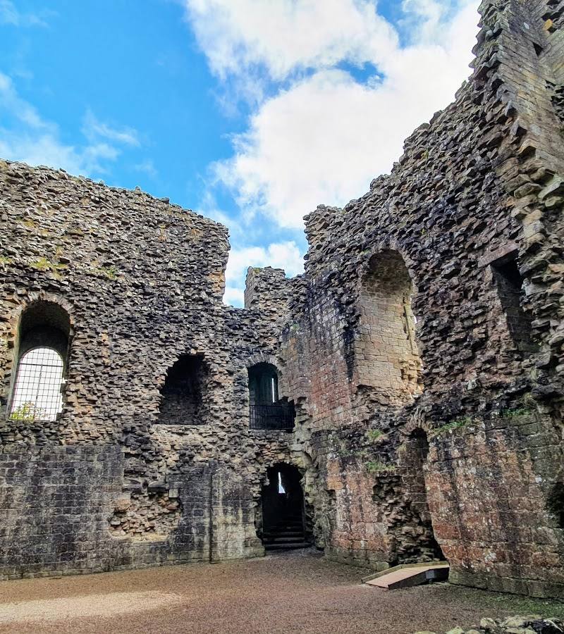
- Remains of the old lead-mining landscape
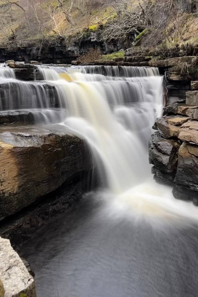
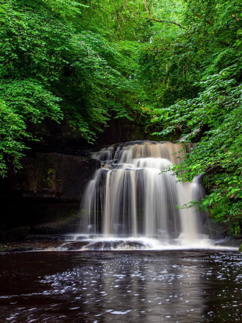
- Waterfalls
- Views into the valley
What to look for
Look for the remains of the lead-mining operation—old buildings, workings and spoil heaps—alongside the beck and waterfalls. Stay on safe ground around abandoned mine features and unguarded edges.
The story
Industry
Best time to go
Check local conditions before setting out; no specific peak season is established by the supplied evidence.
No particular month or time of day is verified by the supplied sources. Check the weather and ground conditions before a walk involving steep terrain and exposed drops.
How long to spend
Half day
Perfect for
Walkers · History lovers · Photographers · Families
Route at a glance
Duration
Half day
Terrain
Valley, Hills
Parking / start
A video description reports limited village parking, roughly eight spaces, with an honesty box. This is an individual report, not confirmed current information; check before visiting.
Before you go
Address
Google rating
Practical information
Opening & access
A walking route through Gunnerside Gill, described by a supplied source as access land. Check current conditions and route details before setting out.
Check before visiting
Parking
A video description reports limited village parking, roughly eight spaces, with an honesty box. This is an individual report, not confirmed current information; check before visiting.
Check before visiting
Toilets
Check before visiting
Check before visiting
Food & drink
Check before visiting
Check before visiting
Dogs
Check before visiting
Check before visiting
Accessibility
Not established by the supplied sources. One walk account describes steep ascent, varied terrain and unguarded drops on part of the route.
Cost
Check before visiting
Check before visiting
Water
River
Gallery
Place photographs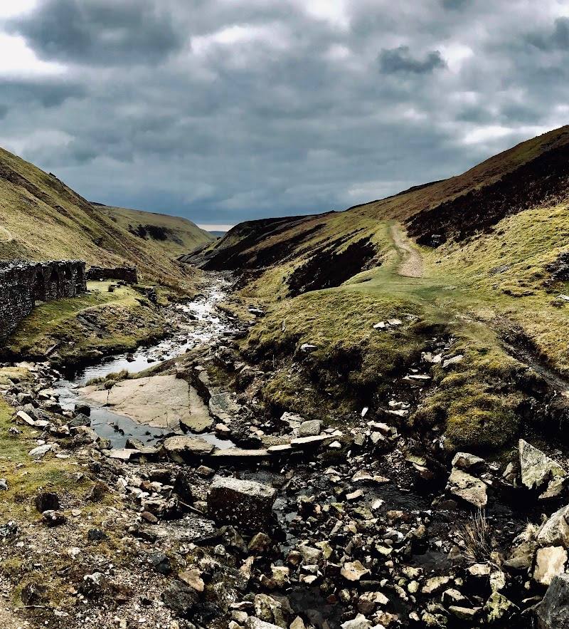
Keep exploring
Around Gunnerside Gill
Within 50 km · approximate straight-line distances