7.0
Wildland
Half day
Time
Check
Cost
Atmospheric
Feel
Why it's Wildland
7.0Reeth is the principal settlement of upper Swaledale: a village green set among the valley’s distinctive barns, stone walls and steep-sided landscape.
Reeth earns its place as more than a pretty village: it is a practical gateway to short riverside and valley walks, high-level views, Swaledale’s mining story and the area’s celebrated hay meadows.
Atmospheric · Wild · Peaceful
Find your way
Open mapReeth, upper Swaledale, North Yorkshire
Opening map…
Know this place a little better?
The experience
Make Reeth a walking base rather than a quick photo stop. Choose a short circular route from the village, then add the Swaledale Museum or a longer valley outing if time allows.
Things to do
Walk Reeth Low Common
Take the short circular walk for views over this part of Swaledale. The supplied source describes it as low-level.
Walk from Reeth to Healaugh
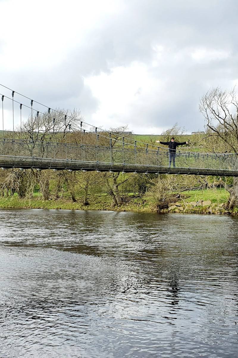
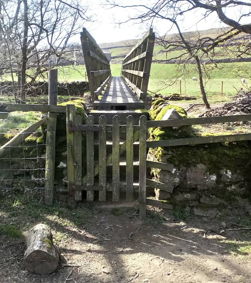
Follow a short circular route from Reeth to Healaugh, returning along the riverside.
Explore Swaledale Museum
Discover displays on local geology, prehistoric landscape archaeology, farming, tools and trades, music and crafts. Confirm opening details before visiting.
Cycle the Swale Trail
The National Park describes the 20 km Swale Trail as a route for aspiring young mountain bikers and families riding together. Check current route and access information before setting out.
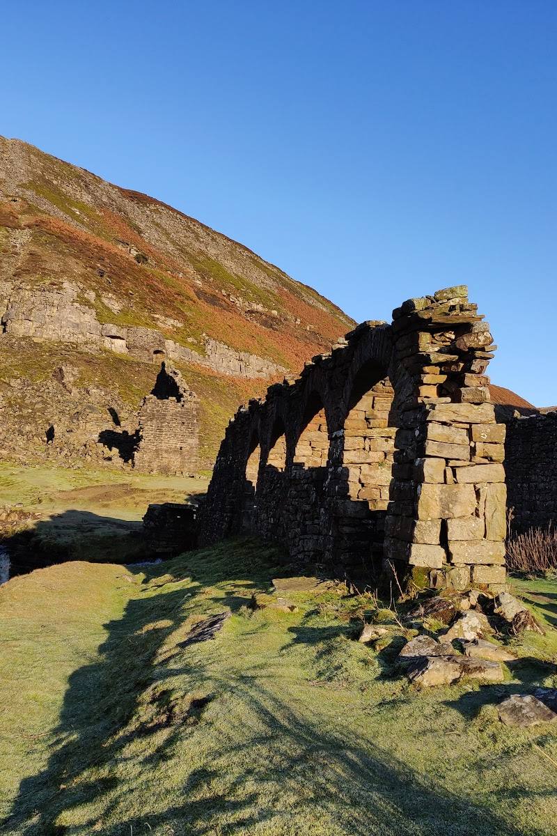
Look for the valley’s mining remains
Former mine workings are scattered through the area, offering a visible reminder of Swaledale’s industrial past.
Make a day of it
Quick escape · Short walk; exact duration not stated in the supplied sources.
Quick escape: Reeth to Healaugh
- 01
Start in Reeth.
- 02
Follow the short circular walk to Healaugh.
- 03
Return to Reeth along the riverside.
Half day · Half day; suggested itinerary, not a published timed route.
Make a half day of it: village, valley walk and local history
- 01
Begin at Reeth and take the short circular route to Healaugh, returning beside the river.
- 02
Allow time to explore the village and its green.
- 03
If open, visit Swaledale Museum to learn about the area’s geology, archaeology, farming, tools and trades.
- 04
Check current opening details for the museum and local businesses before travelling.
Full Wildland day · Full day; travel and walking times not supplied.
A wider Swaledale day
- 01
Start in Reeth and choose a local walk suited to the day’s conditions.
- 02
Continue to Muker for the meadows and the Swaledale audio trail, which begins there.
- 03
Consider the Muker–Keld route if prepared for a longer outing; the National Park describes it as passing villages, waterfalls and meadows.
- 04
Check route details, transport and opening information before setting out.
Verified history
Reeth is described in the source row as the principal settlement of upper Swaledale. The National Park points visitors to scattered remains of former mine workings and to Swaledale Museum for the area’s mining history. Its source also identifies the valley’s barns, walls and hay-meadow farming landscape. The supplied sources do not establish specific dates or named historical events for the village.
Hidden details
Look beyond the village for mining traces — Former mine workings are scattered through the surrounding area; the sources do not identify specific workings or a visitor route to them.
Notice the barns and walls — The National Park highlights Swaledale’s characteristic barns-and-walls farming landscape, especially among the wildflower meadows.
When to go
· A calm morning is a practical choice for walking and views; the supplied sources do not identify a specific optimal time.
The National Park recommends visiting wildflower meadows in full bloom but does not give peak months. Check local conditions before planning around flowering.
Check the forecast and walking conditions before setting out; no specific weather guidance is supplied.
Worth pairing with
Swaledale Museum
A local-history pairing for a walk, with displays covering geology, archaeology, farming, tools and trades. Check opening details.
Muker and its meadows
A wider Swaledale outing for wildflower meadows and the National Park’s audio trail, which begins in Muker.
What to look for
Notice the contrast between the village green, the stone barns and walls across the valley, and the remains of former mine workings. In summer, look for wildflowers in the meadows.
The story
Swaledale’s mining and farming history
Best time to go
Late spring and summer for wildflower meadows; other seasons suit valley walks and wide views.
Late spring and summer bring the meadows into flower. For a quieter walk or clearer views, choose a calm morning and check the forecast.
How long to spend
Half day
Perfect for
Walkers · Families · History lovers · Cyclists · Photographers
Before you go
Address
Practical information
Opening & access
A village and starting point for walks in Swaledale and Arkengarthdale. Check current access and local conditions before setting out.
Check before visiting
Parking
The source describes Reeth as a place to park before a walk, but does not confirm current parking arrangements. Check before visiting.
Check before visiting
Toilets
Check before visiting.
Check before visiting
Food & drink
A source describes pubs, cafés and shops around the village green; check current opening and availability before visiting.
Check before visiting
Dogs
Check before visiting.
Check before visiting
Accessibility
A low-level circular walk from Reeth to Healaugh and back by the riverside is described by the National Park. Surface and accessibility details are not supplied; check before setting out.
Check before visiting
Cost
Check before visiting
Check before visiting
Water
River
Gallery
Place photographs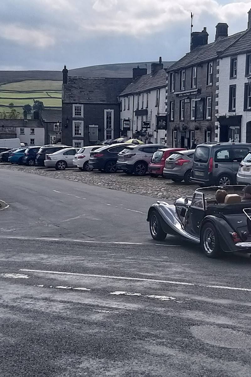
Keep exploring
Around Reeth
Within 50 km · approximate straight-line distances