Near Keld, Upper Swaledale, North Yorkshire
Crackpot Hall – Beldi Hill Lead Mine
Industrial heritage
Place photograph
7.0
Wildland
1–2 hours to visit the hall by the direct approach
Time
Check
Cost
Atmospheric
Feel
Why it's Wildland
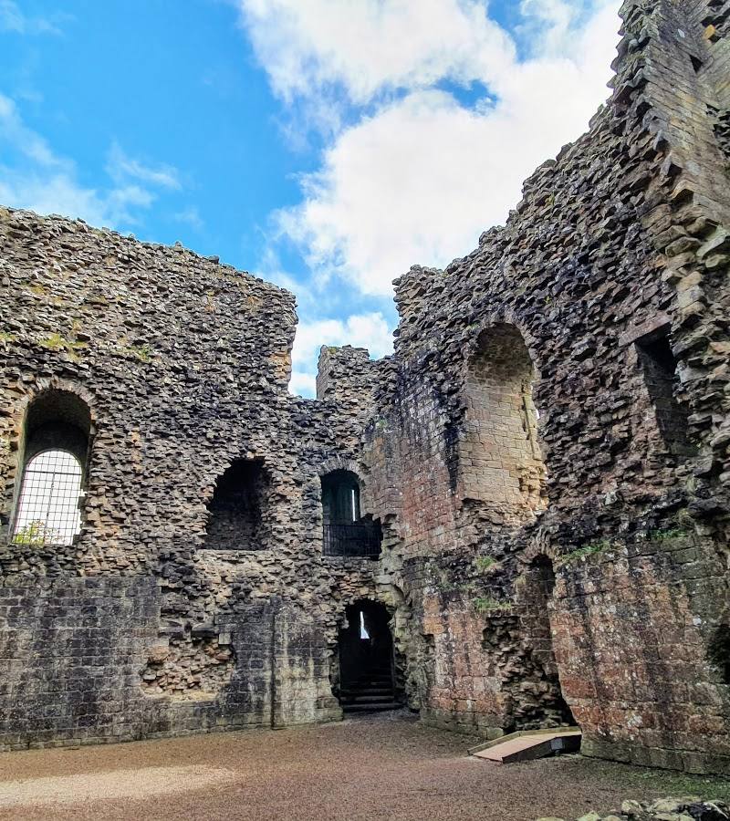
7.0A ruined 18th-century farmhouse above Swaledale, caught between two histories: farming and the lead-mining industry that once used the building as a mine office. Subsidence linked to the nearby workings led to its abandonment in 1953.
Crackpot Hall earns its place through the way the landscape and its industrial past meet: a remote-feeling farmhouse ruin above the Swale, reached by a rough dale-side walk with waterfalls and mining remains along the way. The fragile building is best appreciated from a safe distance, not explored inside.
Atmospheric · Secluded · Ancient-feeling
Find your way
Open mapNear Keld, Upper Swaledale, North Yorkshire
Opening map…
Know this place a little better?
The experience
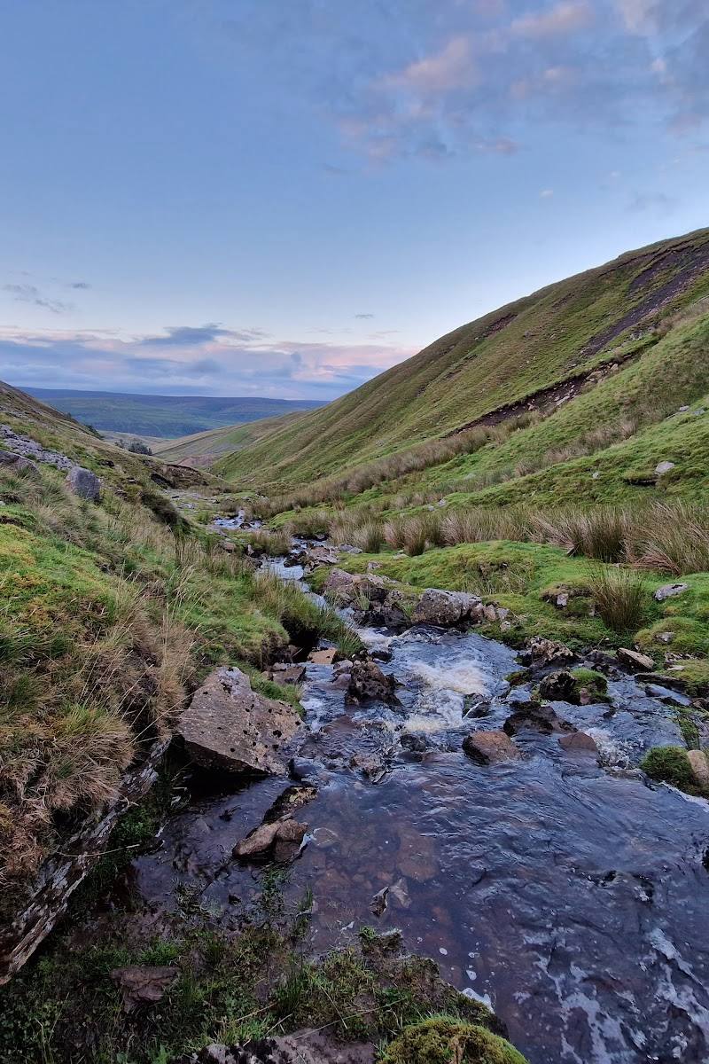
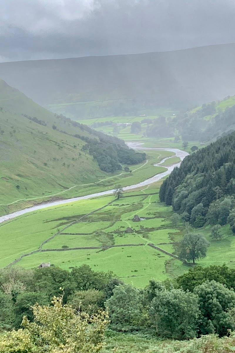
Walk to the ruin for a close look at its surviving exterior and broad views over Swaledale. The best experience is the journey through the landscape: the Keld waterfalls and traces of lead mining give the isolated-looking farmhouse a much bigger story. Keep to public paths, avoid unstable structures and do not enter private or restricted mine sites.
Things to do
Visit the farmhouse ruin
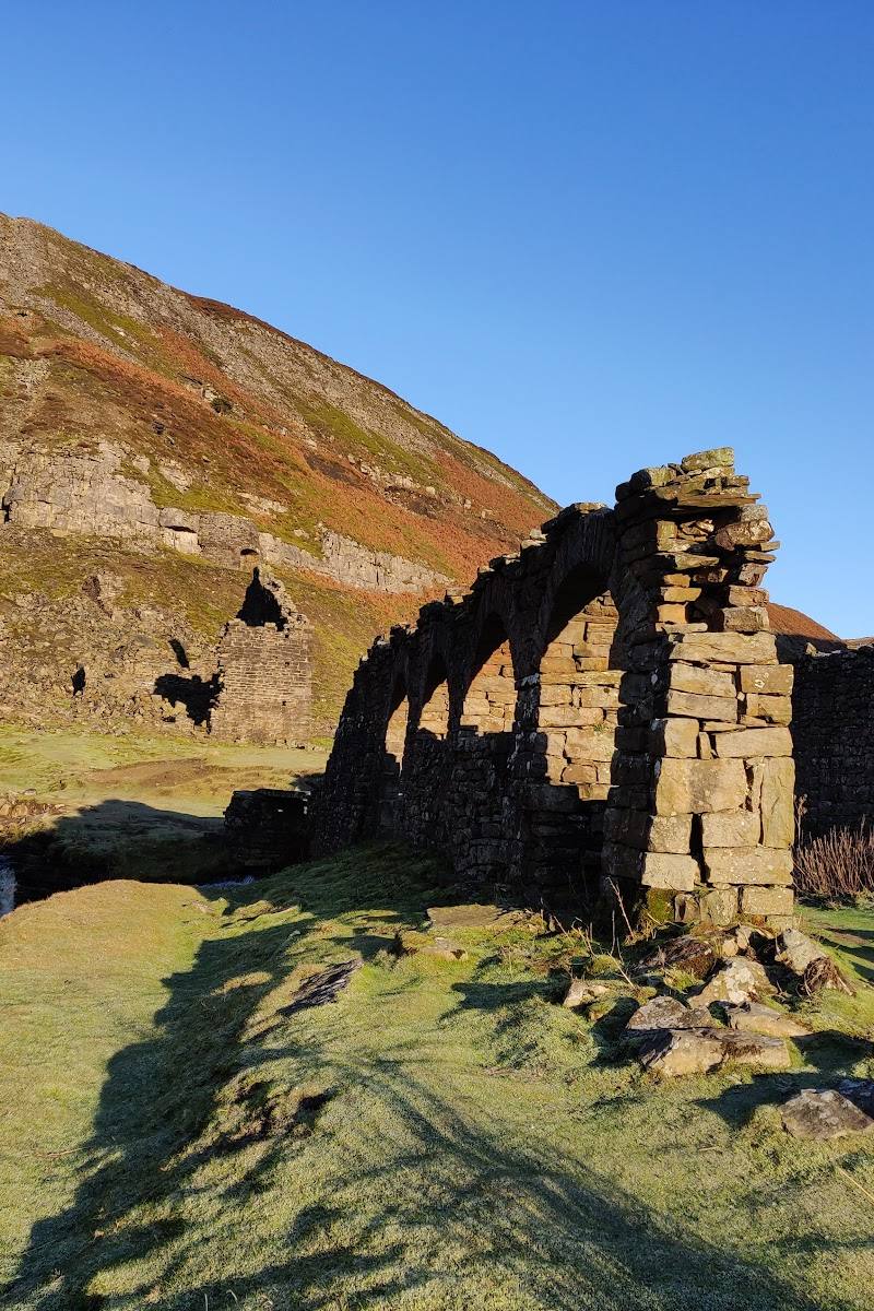
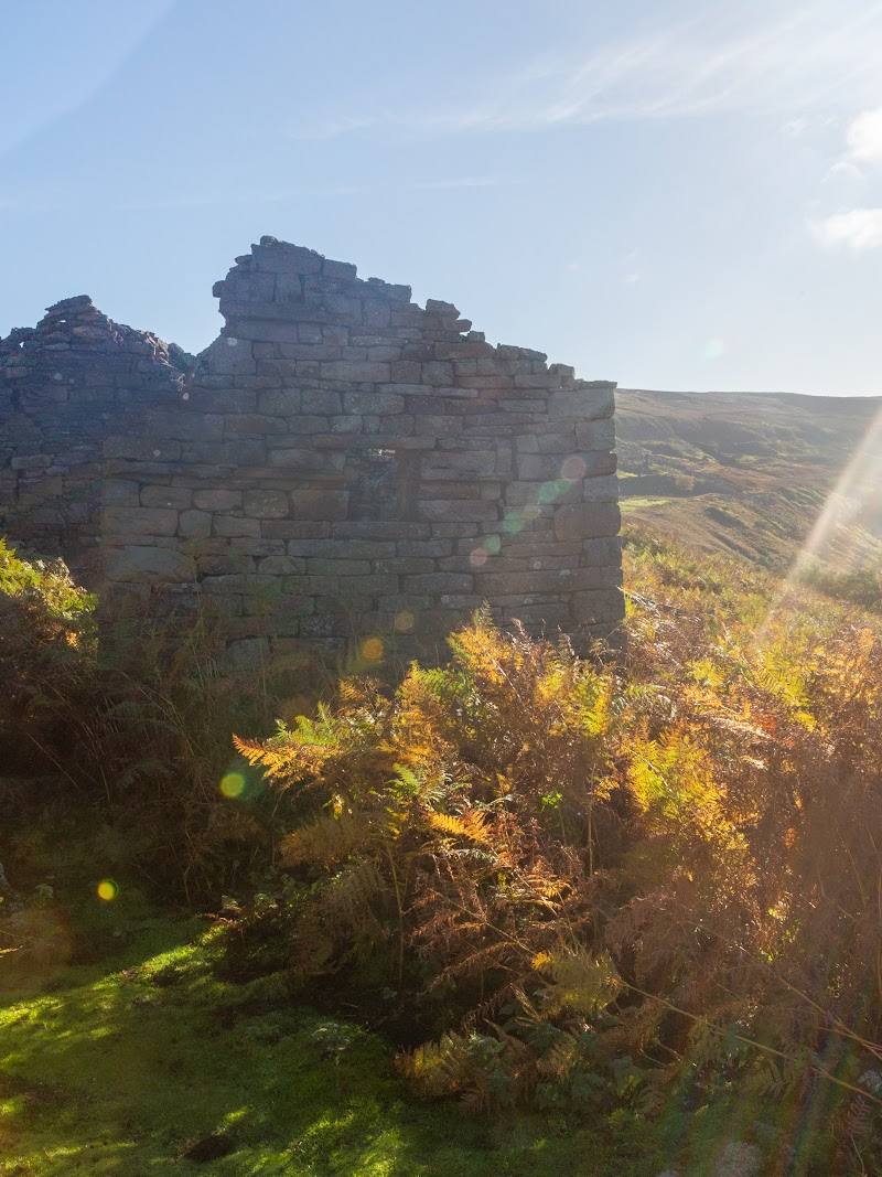
Follow the footpath from Keld to see the remains of the 18th-century farmhouse and its outbuildings. View the unstable structure from outside rather than entering.
Allow around 1–2 hours for the reported out-and-back approach.
Take in the Swaledale outlook
Pause near the ruin to look along the valley towards the River Swale and the surrounding hills.
Allow time for a short viewpoint stop.
Add the Keld waterfalls to a circular walk
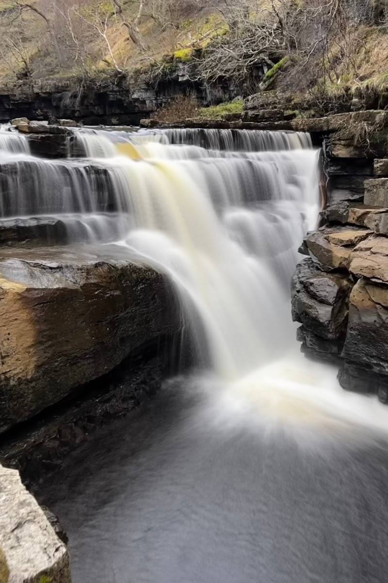
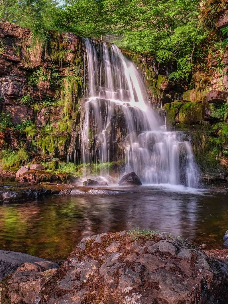
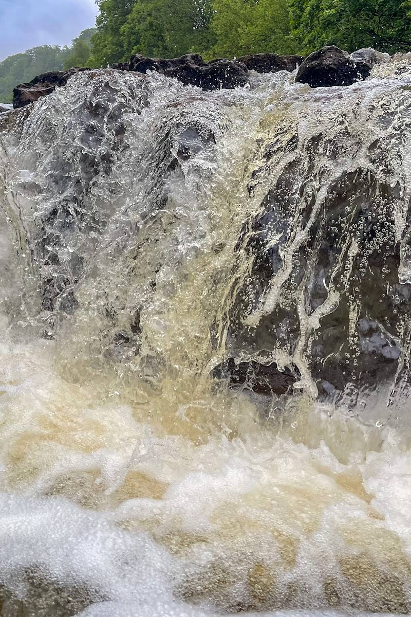
The reported circular route combines Crackpot Hall with waterfalls including Wain Wath Force and East Gill Force. Expect rougher sections, especially in wet conditions.
1.5–2 hours for the 3.7-mile circular, according to the route listing.
Notice the remains of Swaledale’s lead-mining industry
The wider Beldi Hill landscape includes former mine and smelt-mill sites. A National Park event description identifies these as part of a guided mining-history walk; some nearby remains are on private land, so stay on permitted paths.
Make a day of it
Quick escape · Allow around 1–2 hours for the out-and-back visit; the reported approach is just under 2 km each way, with about 120 m ascent.
Quick escape: Crackpot Hall from Keld
- 01
Start from Keld and follow the described footpath towards Crackpot Hall.
- 02
Take care on the uphill, rough path and pause at the ruin to take in the Swaledale views.
- 03
Admire the exterior from a safe distance; do not enter the unstable building.
- 04
Return to Keld by the same route.
Half day · About 1.5–2 hours for the published 3.7-mile circular; allow longer for stops.
Make a half day of it: Keld waterfalls and mining landscape
- 01
Begin in Keld and follow a mapped circular route through the surrounding dale.
- 02
Visit the waterfalls identified on the route, including Wain Wath Force and East Gill Force.
- 03
Continue past the Beldi Hill lead-mine area towards Crackpot Hall and its valley outlook.
- 04
Return to Keld, taking care on rough sections and beside steep drops.
Verified history
Crackpot Hall’s surviving farmhouse dates from the early 18th century and stands on a site associated with an earlier hunting lodge. During the lead-mining boom, the building served as an office for the local mine. It later returned to agricultural use and was abandoned in 1953 after subsidence associated with nearby mining caused structural damage. The surrounding Beldi Hill landscape includes evidence of lead mining and smelting.
Folklore & legend
A 1930s story described Alice, a child at the farm, as a wild child who spoke an unintelligible dialect. The later account cited by the supplied sources says that a 2015 BBC investigation found she had lived at the farm with her family; the feral-child version is best treated as local folklore, not fact.
Hidden details
A farmhouse with a mining-office past — The building was not simply a remote farm: during the lead-mining era it was used as an office for the local mine. Consider that dual role while looking at the surviving farmhouse and its setting.
When to go
May · June · July · August · September · A clear morning or afternoon; avoid setting out in poor visibility or when paths are particularly wet.
Longer daylight in late spring and summer makes it easier to take the rough approach and enjoy the valley views. The route listing warns that wet conditions make rough sections more challenging.
Weather changes quickly in the Dales. Check the forecast and current path conditions; rough ground and narrow paths beside steep drops require care, particularly after rain.
The route
- ascent
- 639 ft for the circular; about 120 m for the direct approach to the hall.
- stiles
- Check before visiting.
- surface
- Rough paths; conditions can be more challenging when wet.
- distance
- 3.7 miles for the Keld waterfalls circular; the direct approach to Crackpot Hall is reported as just under 2 km one way.
- duration
- 1.5–2 hours for the circular; allow around 1–2 hours for the reported out-and-back visit to the hall.
- difficulty
- Moderate; the circular has rough sections and narrow paths beside steep drops.
- waymarking
- Check before visiting; the route listing notes reports of unmarked paths.
- route shape
- Circular for the Keld waterfalls route; out-and-back for the described direct approach.
- start point
- Keld; the National Park event listing gives Keld Resource Centre as the meeting point for its guided walk.
- parking start
- A chargeable car park at Keld campsite is reported; check current arrangements before travelling.
- shorter alternative
- Walk from Keld to Crackpot Hall and return by the same route; the approach is reported as just under 2 km each way with about 120 m ascent.
- Crackpot Hall farmhouse ruin
- Views over Swaledale
- Wain Wath Force
- East Gill Force
- Beldi Hill lead-mining landscape
Worth pairing with
Keld waterfalls
Pair the hall with the waterfalls on the reported Keld circular, including Wain Wath Force and East Gill Force.
Beldi Hill and Swinnergill mining remains
The wider mining landscape includes mine and smelt-mill remains. Some sites, including the Low Plate dressing floor complex mentioned in the National Park event listing, are on private land; do not visit unless access is explicitly permitted.
What to look for
- 01
From a safe position, look for the farmhouse’s surviving walls and agricultural outbuildings, then scan the surrounding slopes for features associated with the area’s lead-mining past. The roofless ruin is unstable
- 02
do not climb on or enter it.
The story
Lead mining and farming in Upper Swaledale
Best time to go
Spring to autumn for longer daylight; choose a clear, settled day for the valley views.
Choose a clear morning or afternoon when the valley is visible and allow extra time after rain, when rough paths can be slippery. Check weather and route conditions before setting out.
How long to spend
1–2 hours to visit the hall by the direct approach; allow around 1.5–2 hours for the Keld waterfalls circular
Perfect for
Walkers · History lovers · Photographers
Before you go
Address
Website
Listed hours
- Monday: Open 24 hours
- Tuesday: Open 24 hours
- Wednesday: Open 24 hours
- Thursday: Open 24 hours
- Friday: Open 24 hours
- Saturday: Open 24 hours
- Sunday: Open 24 hours
Check before visiting.
Google rating
Practical information
Opening & access
Crackpot Hall is a roofless, structurally damaged ruin beside walking routes between Keld and Muker. The route to it includes rough, steep sections; do not enter unstable buildings or restricted mine workings. Check current access and path conditions before setting out. Access arrangements are unconfirmed. Check before visiting; do not enter private land or restricted structures.
Check before visiting
Parking
A chargeable car park is reported at Keld campsite; confirm current availability and charges before travelling.
Toilets
Check before visiting
Check before visiting
Food & drink
Check before visiting
Check before visiting
Dogs
A Yorkshire Dales National Park event listing welcomed dogs on a lead; check current route and landowner guidance before visiting.
Check before visiting
Accessibility
Not wheelchair-accessible on the evidence available. The approach is a hill walk over rough ground; the wider circular includes narrow paths beside steep drops. Wear suitable footwear and check conditions.
Check before visiting
Cost
Check before visiting
Check before visiting
Water
River and waterfalls nearby; no swimming permission established.
Gallery
Place photographs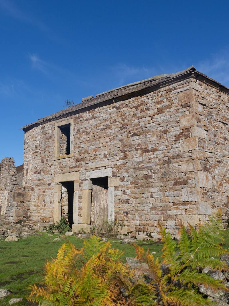
Keep exploring
Around Crackpot Hall – Beldi Hill Lead Mine
Within 50 km · approximate straight-line distances