Starts at Saint Bees, Cumbria (CA27 0ET), and runs east to Robin Hood’s Bay on the North Sea coast.
Coast to Coast Walk
route · Long-distance trail
Source image
7.8
Wildland
Multi-day
Time
Check
Cost
Dramatic
Feel
Why it's Wildland
7.8From the Irish Sea at Saint Bees to the North Sea at Robin Hood’s Bay, this demanding cross-country trail links the Lake District, Yorkshire Dales and North York Moors in one journey across northern England.
Few walks make such a sustained passage through three national parks and so many contrasting landscapes. Its appeal is the changing journey—from the exposed coast and Lake District fells to dale country, moorland and the North Sea—not a single viewpoint or quick circuit.
Dramatic · Big-sky · Wild · Atmospheric
Find your way
Open mapStarts at Saint Bees, Cumbria (CA27 0ET), and runs east to Robin Hood’s Bay on the North Sea coast.
Opening map…
Know this place a little better?
The experience
The Coast to Coast is a substantial, point-to-point walk rather than a day route. Walking-tour sources describe it as approximately 190–192 miles (306–309 km), commonly completed over around 12–14 days. Expect varied surfaces, upland sections and changing conditions; plan stages, navigation and transport before setting out.
Things to do
Begin at Saint Bees
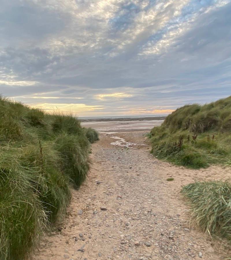
Start the crossing at Saint Bees on the Irish Sea. The supplied sources identify the village as the western start of the route.
Walk the opening coastal section
A walking-tour itinerary suggests arriving early at Saint Bees and walking the initial coastal section before the first full stage. Check conditions and access before setting out.
Take in the route’s changing landscapes
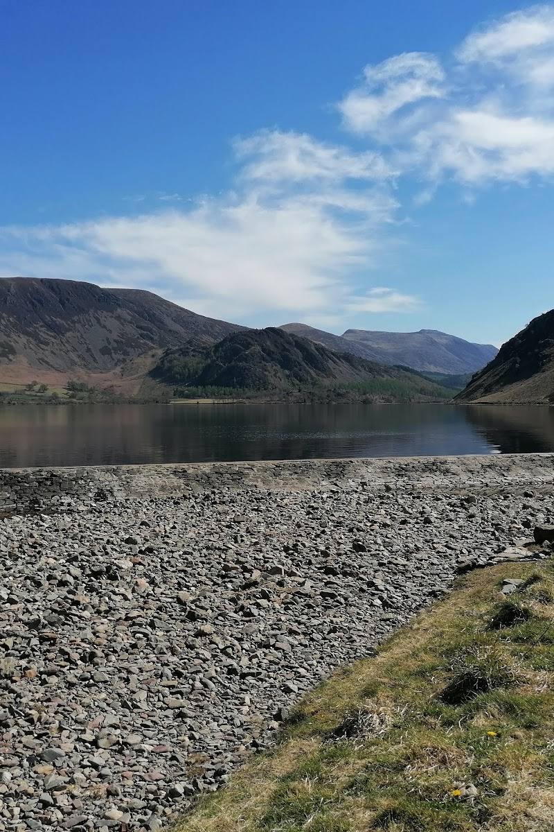
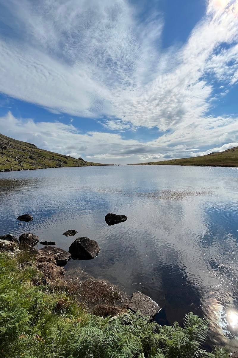
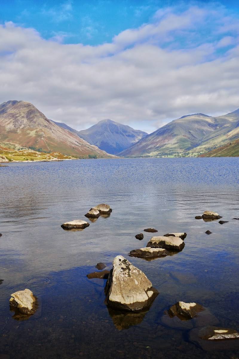
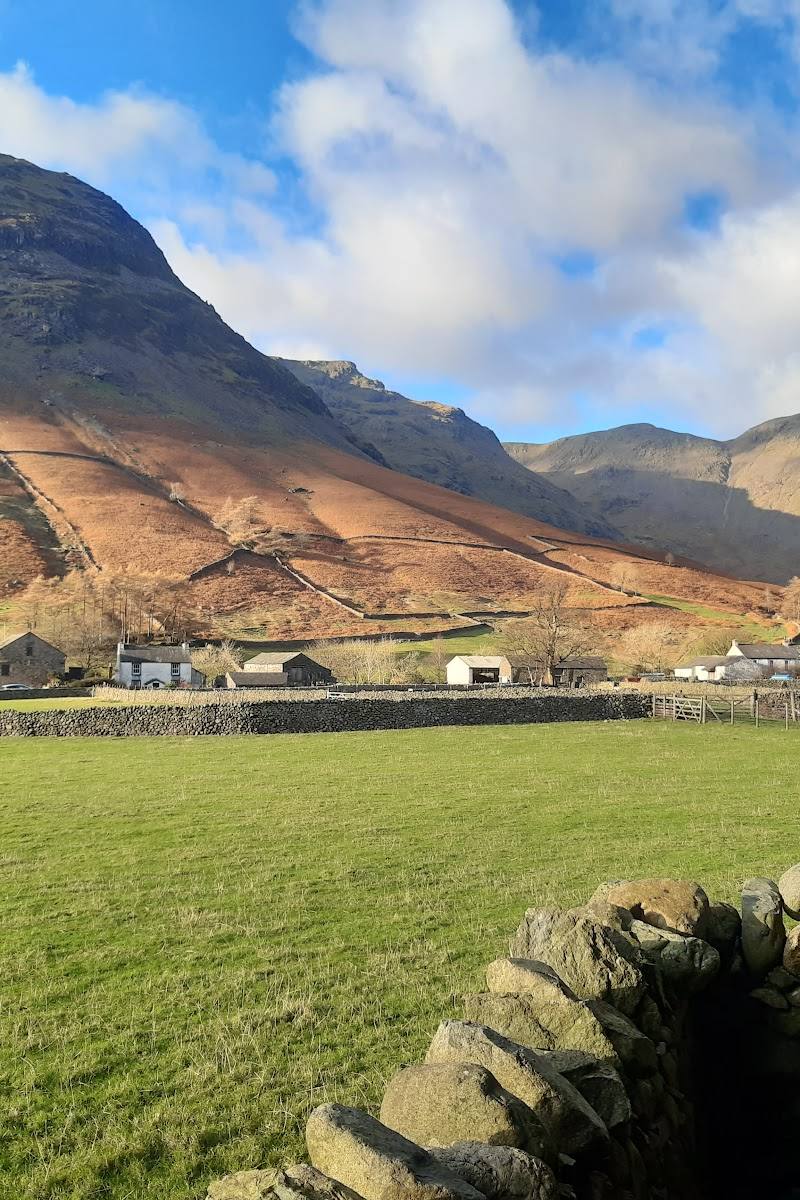
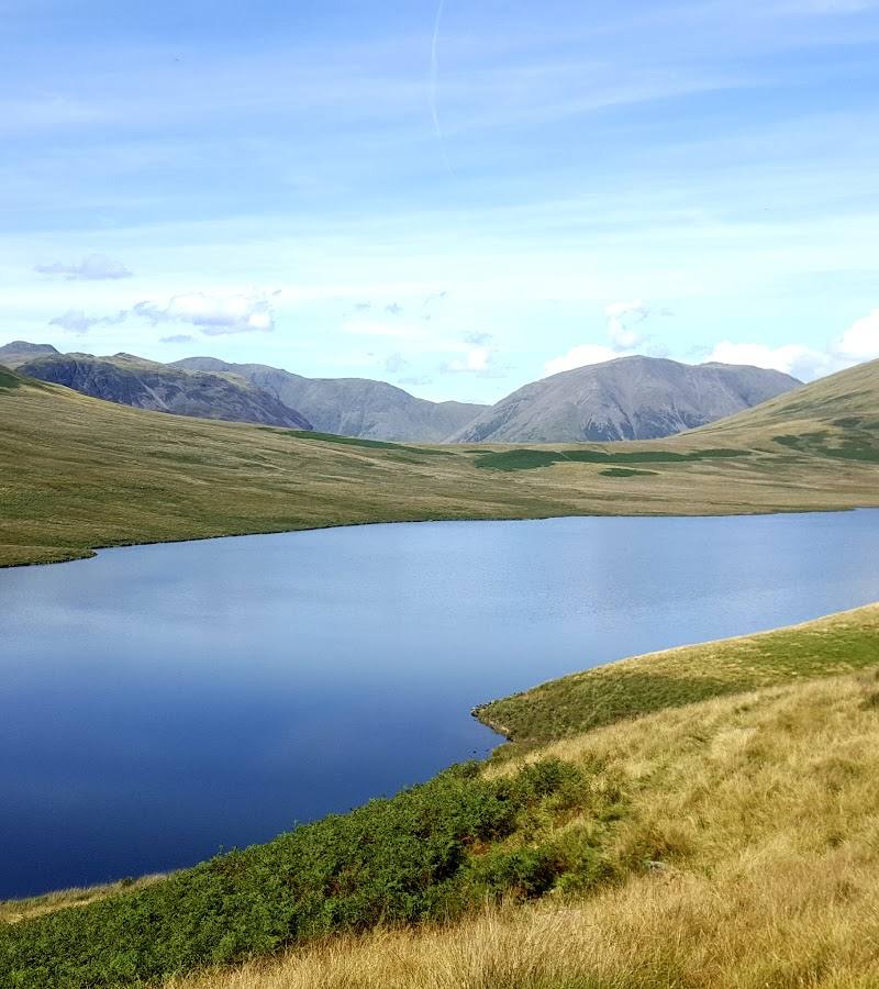
Across the full trail, the sources describe a journey through the Lake District, Yorkshire Dales and North York Moors, with fells, valleys, moorland and coastal scenery.
12–14 days for the full route, according to a supplied guide
Finish at Robin Hood’s Bay
The eastern end of the crossing is Robin Hood’s Bay on the North Sea coast.
Make a day of it
Quick escape · A short visit; walking time depends on how far you go
See the western start
- 01
Begin at Saint Bees, the western starting point of the Coast to Coast.
- 02
Walk the initial coastal section if conditions and time allow; the supplied walking-tour itinerary identifies it as an optional walk.
- 03
Check local access and conditions before setting out.
Verified history
Fellwalker and guidebook author Alfred Wainwright developed the route by connecting existing paths, tracks and roads. A supplied guide says he published it in a 1973 book. The route later gained National Trail status in 2022, according to the same source.
When to go
April · May · June · July · August · September · October · Check the forecast and plan each stage around daylight and conditions; no specific daily timing is verified in the supplied sources.
A walking-tour operator lists April–October departures. The route includes exposed upland terrain, so conditions and daylight should inform timing and preparation.
The supplied sources describe exposed sections and varied terrain. Prepare for changing conditions and check forecasts and current route information before setting out.
The route
- surface
- Varied: paths, tracks, roads and, according to a supplied walking account, gravel, grassy fields, boggy sections and pavements.
- distance
- Approximately 190 miles (306 km), according to one supplied walking-tour source; other supplied sources give approximately 190–192 miles.
- duration
- About 12–14 days, according to a supplied guide; itineraries vary.
- difficulty
- Demanding long-distance walk; the supplied sources describe upland terrain and varied conditions. Check current stage guidance.
- waymarking
- A supplied first-person walking account says signage is not sufficient to rely on alone. Carry suitable navigation and check current official route guidance.
- route shape
- Point-to-point, west to east: Saint Bees to Robin Hood’s Bay.
- start point
- Saint Bees, Cumbria. The accepted coordinate is a Google Maps main-place pin, not a verified trailhead entrance.
- parking start
- Check before visiting. No start parking information is verified.
- shorter alternative
- The supplied sources mention walking the initial coastal section from Saint Bees as an optional shorter outing, but do not provide a verified distance or duration.
- Saint Bees and the Irish Sea coast
- Lake District fells and valleys
- Yorkshire Dales landscapes
- North York Moors moorland and coast
- Robin Hood’s Bay on the North Sea
What to look for
Notice how the landscape changes across the crossing: St Bees Head’s coastal cliffs, Lake District fells and valleys, the Yorkshire Dales’ pastoral landscapes, and the North York Moors’ open moorland and coast. At the eastern end, the trail finishes at Robin Hood’s Bay.
The story
Literature; historic routes and landscapes
Best time to go
April–October is the season listed by one walking-tour operator; conditions can be challenging outside this period and change quickly in the uplands. Check current conditions before travel.
A walking-tour operator lists April–October departures. Spring, summer and autumn are all represented in the supplied sources; check forecasts and route conditions, especially for exposed upland sections.
How long to spend
Multi-day
Perfect for
Walkers · Photographers · History lovers
Route at a glance
Duration
Multi-day
Terrain
Coastal, Hills
Parking / start
Check before visiting. The supplied Google Maps pin is a main-place pin, not a verified start point or parking location.
Before you go
Address
Phone
Website
Listed hours
- Monday: Open 24 hours
- Tuesday: Open 24 hours
- Wednesday: Open 24 hours
- Thursday: Open 24 hours
- Friday: Open 24 hours
- Saturday: Open 24 hours
- Sunday: Open 24 hours
Check before visiting.
Google rating
Practical information
Opening & access
A long-distance walking route linking existing paths, tracks and roads. Check current route information, access conditions and any diversions before setting out; do not rely on waymarks alone.
Check before visiting
Parking
Check before visiting. The supplied Google Maps pin is a main-place pin, not a verified start point or parking location.
Check before visiting
Toilets
Check before visiting
Check before visiting
Food & drink
Check before visiting
Check before visiting
Dogs
Check current access guidance and local restrictions before visiting.
Check before visiting
Accessibility
This is a long-distance route with varied terrain, including paths, tracks and country roads. The supplied accessibility information relates to the Google Maps place listing, not to the full trail; do not assume the trail is wheelchair accessible.
Cost
Check before visiting
Check before visiting
Water
Sea
Gallery
Place photographsKeep exploring
Around Coast to Coast Walk
Within 50 km · approximate straight-line distances