6.2
Wildland
Half day
Time
Check
Cost
Wild
Feel
Why it's Wildland
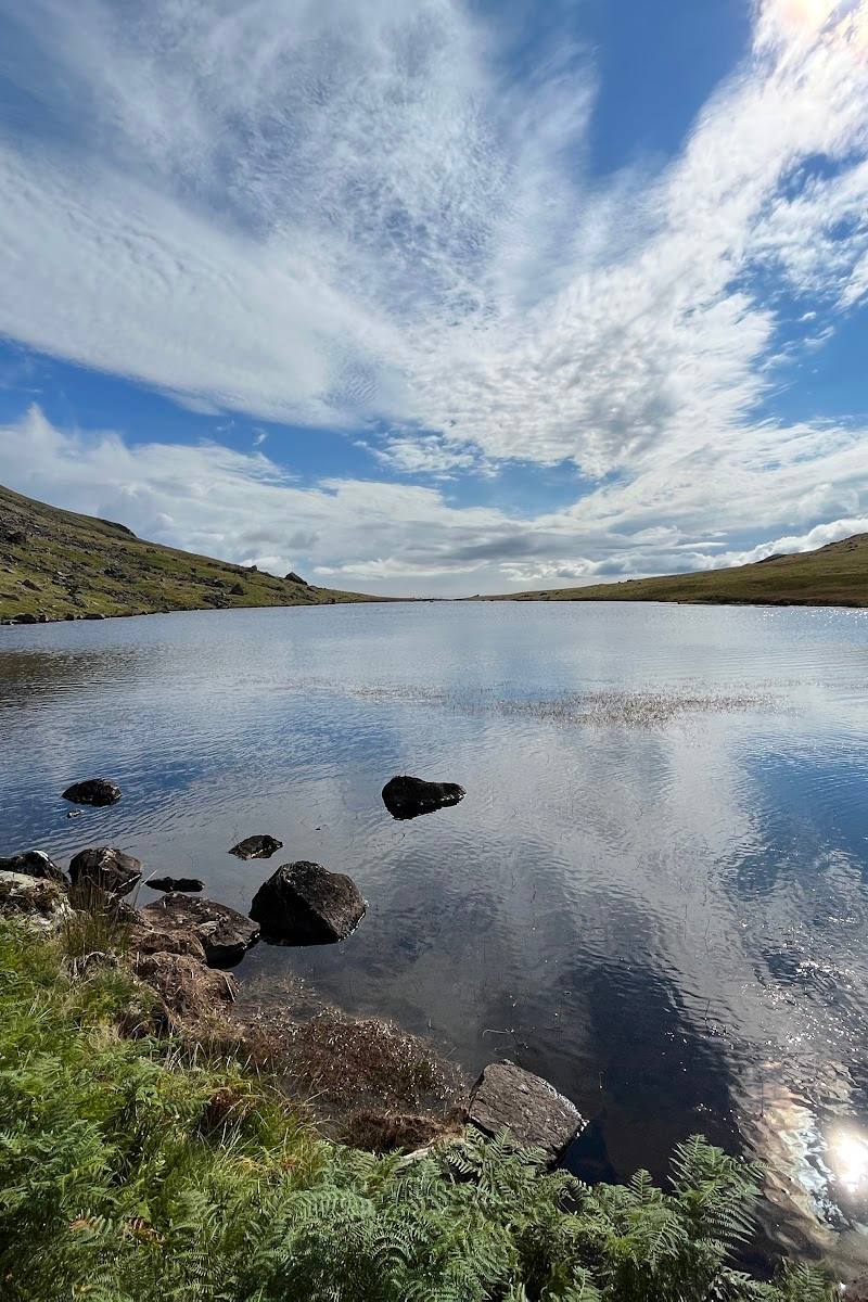
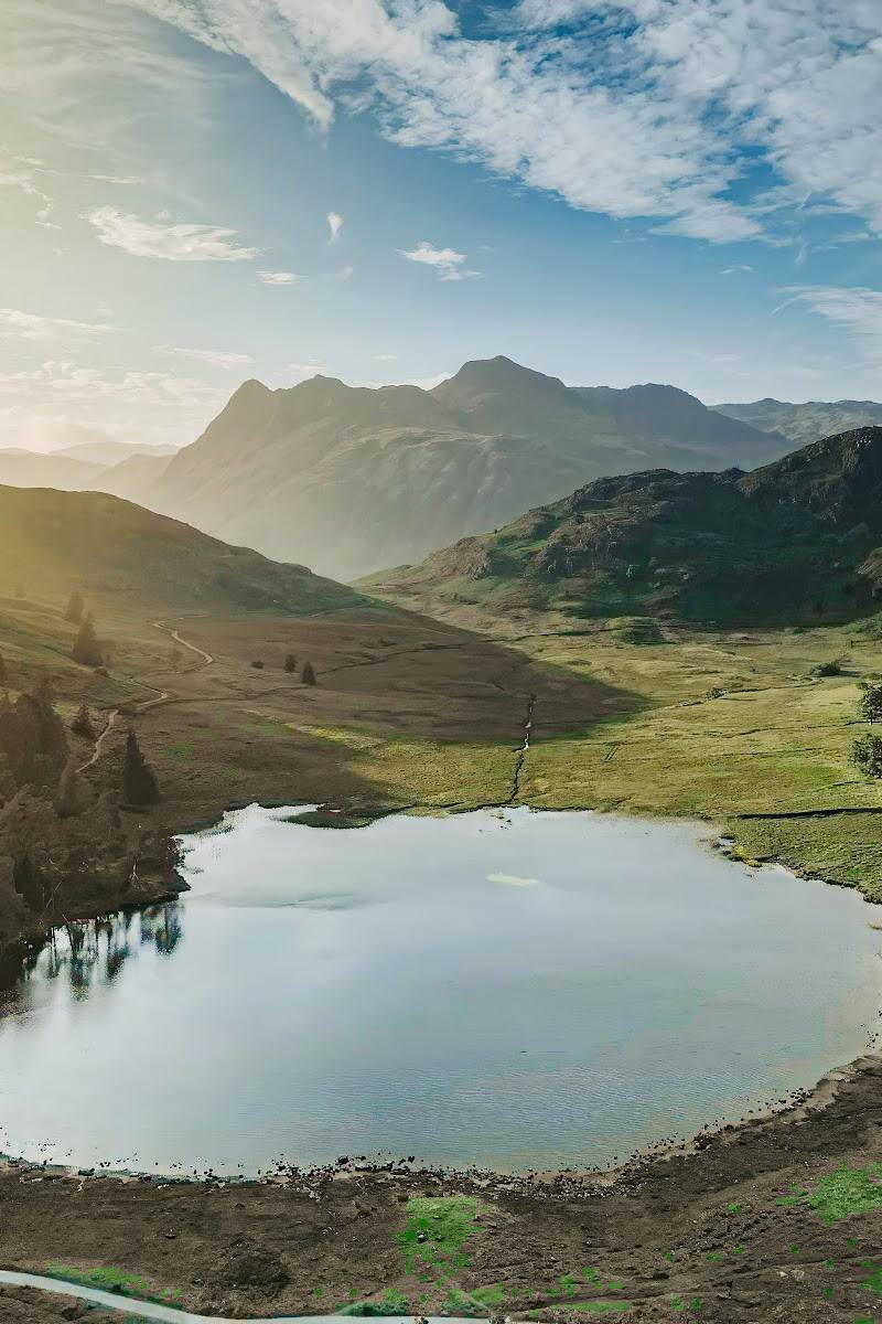
6.2A quiet mountain tarn reached by crossing open moorland above Eskdale, with the fells and valley opening out along the way.
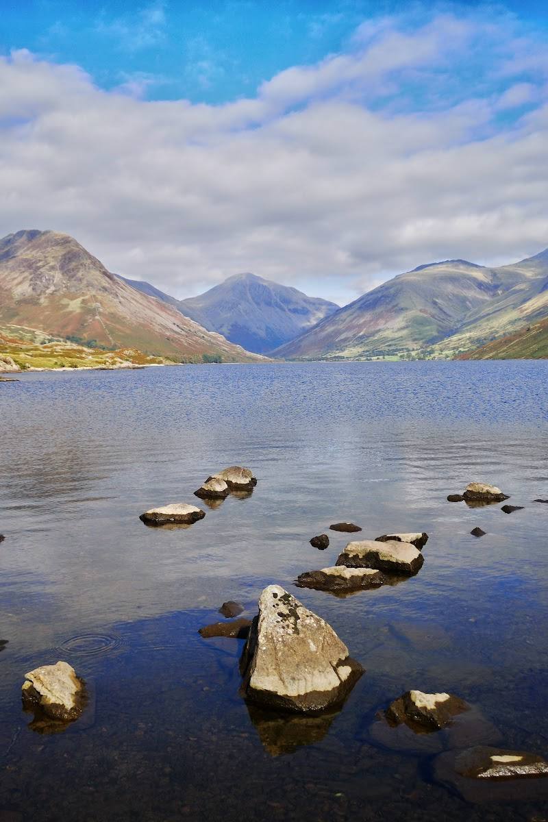
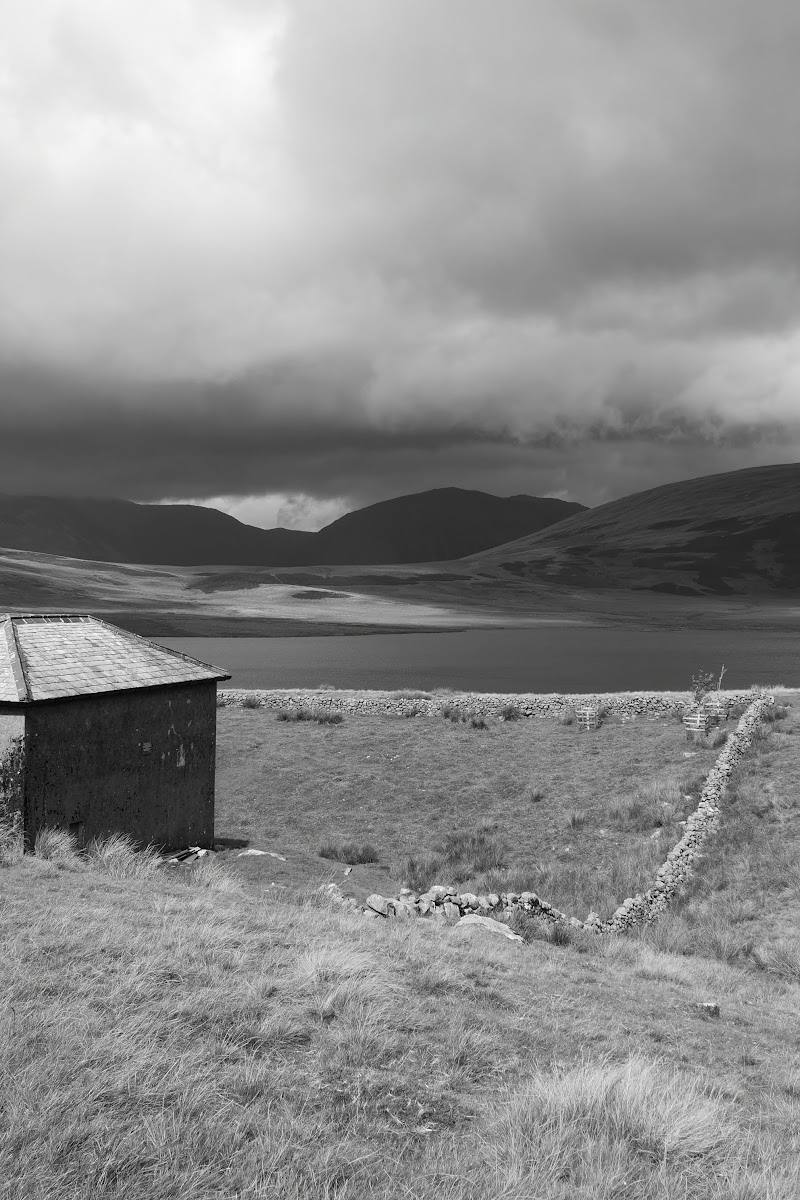
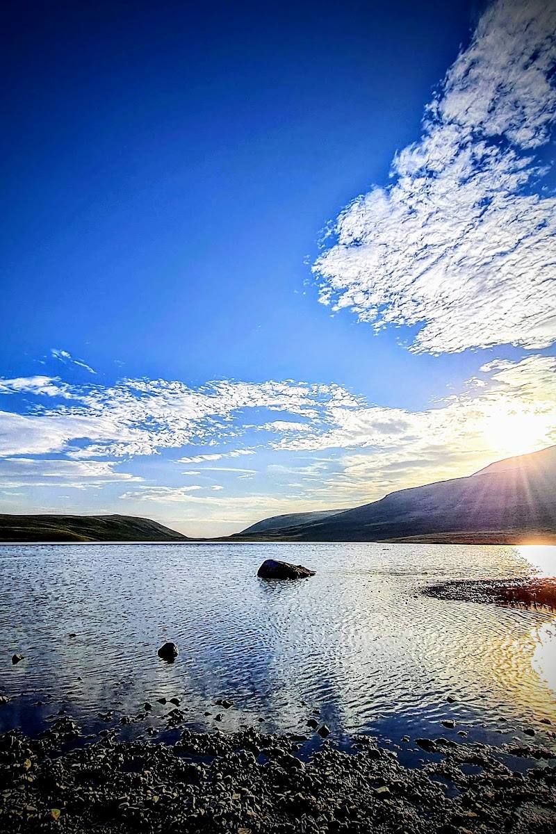
Burnmoor Tarn is not a roadside viewpoint: reaching it means a substantial walk across exposed, sometimes boggy and rocky ground. The reward is a remote-feeling waterside pause among the fells, with broad valley views on the approach.
Wild · Peaceful · Secluded
Find your way
Open mapNear Boot, Eskdale, Lake District, Cumbria
Opening map…
Know this place a little better?
The experience
Allow roughly 2½–3 hours for the 5.5-mile out-and-back from Boot, plus time to pause at the tarn. Expect an uphill approach, stream crossings and patches of boggy or rocky ground; this is a walking destination, not a drive-up stop.
Things to do
Walk to Burnmoor Tarn from Boot
Follow the out-and-back moorland route uphill from Boot to the tarn and return by the same way. Expect stream crossings and boggy or rocky stretches.
2.5–3 hours
Visit Eskdale Mill
AllTrails identifies the historic Eskdale Mill as a point of interest along the route; visit only if it is open and check details before making a detour.
Make a day of it
Quick escape · 2½–3 hours
Quick Escape: Boot to the tarn
- 01
Start in Boot, checking parking arrangements before travel.
- 02
Follow the uphill route across moorland towards Burnmoor Tarn.
- 03
Pause by the tarn, then return to Boot the same way.
Half day · Half day
Make a half day of it: tarn walk and Eskdale
- 01
Walk the Boot–Burnmoor Tarn out-and-back, allowing about 2½–3 hours for the trail.
- 02
Afterwards, consider a pub stop in the area or visit historic Eskdale Mill if it is open; check opening details in advance.
Verified history
The route description identifies Eskdale Mill as historic, but the supplied sources do not provide further substantiated history of the mill or tarn.
When to go
· Check the weather and route conditions before setting out; no particular time of day is established by the sources.
The available route source describes boggy and rocky ground but does not establish a best season.
The route crosses exposed moorland and streams and includes rocky and boggy sections. Check the forecast and conditions, and carry suitable footwear and clothing.
The route
- ascent
- 784 ft
- stiles
- Check before visiting
- surface
- Mostly natural, with boggy and rocky areas; some surface details are unknown.
- distance
- 5.5 miles
- duration
- 2.5–3 hours
- difficulty
- Moderate
- waymarking
- Check before visiting
- route shape
- Out and back
- start point
- Boot, or the train station area as described by AllTrails
- parking start
- AllTrails reports very limited parking in Boot and a car park at the train station; confirm availability.
- Burnmoor Tarn
- Views across the valley
- Moorland ascent
- Stream crossings
Worth pairing with
Eskdale Mill
A historic mill mentioned along the route; check whether it is open before planning a visit.
Pubs along the route
AllTrails notes pubs along the route. Confirm locations and opening times before relying on a stop.
What to look for
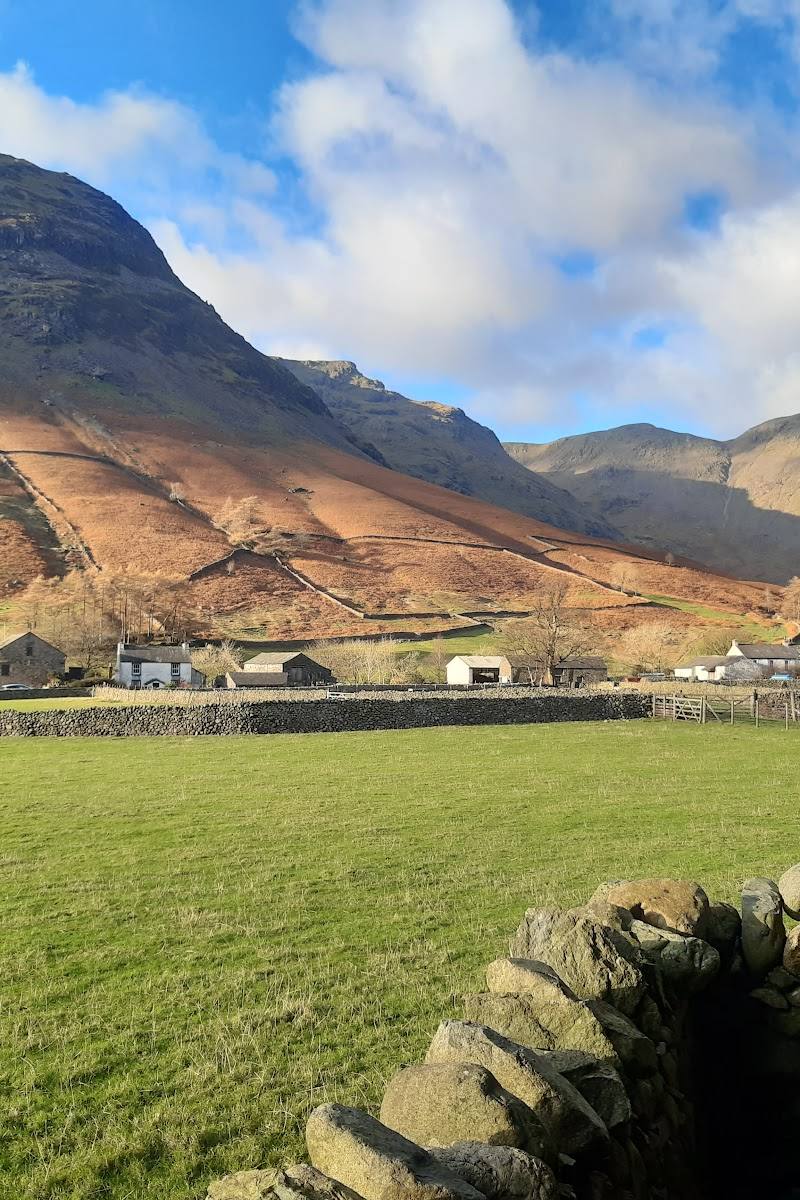
Notice how the views open across the valley as the path climbs, and look for the small streams crossed on the approach. The tarn is set among high fells and open countryside.
Best time to go
Check conditions before visiting; the source describes boggy and rocky sections, which may be harder after rain.
Check the forecast and ground conditions before setting off. The route has exposed, rocky and boggy sections, so choose a suitable weather window and allow time for the return walk.
How long to spend
Half day
Perfect for
Walkers · Photographers
Before you go
Address
Google rating
Practical information
Opening & access
A remote tarn reached on foot by fell paths. The sourced Boot route is an out-and-back walk with boggy and rocky sections and stream crossings; check route conditions and access before setting out. Access arrangements are unconfirmed. Check before visiting; do not enter private land or restricted structures.
Check before visiting
Parking
AllTrails reports very limited parking in Boot and a car park at the train station; confirm availability before travel.
Toilets
Check before visiting
Check before visiting
Food & drink
AllTrails notes pubs along the route; check opening before visiting.
Check before visiting
Dogs
Check before visiting
Check before visiting
Accessibility
Not an accessible short stroll. The described route is moderate, with uphill moorland walking, boggy and rocky ground, and stream crossings. Use suitable footwear and check conditions.
Check before visiting
Cost
Check before visiting
Check before visiting
Water
Lake
Gallery
Place photographs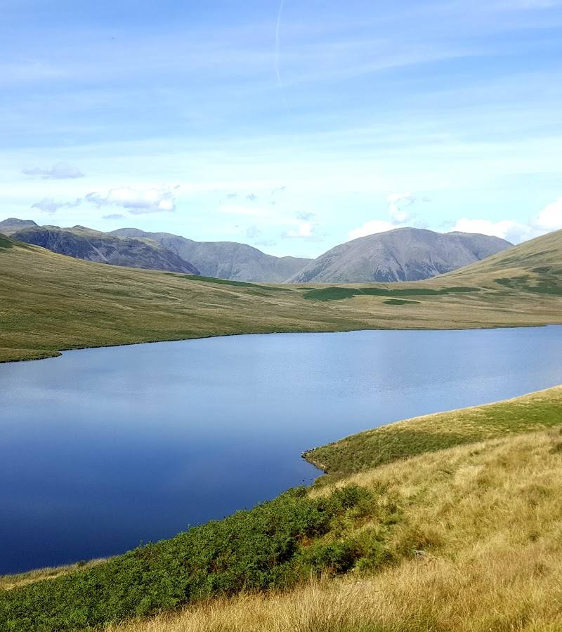
Keep exploring
Around Burnmoor Tarn
Within 50 km · approximate straight-line distances