7.0
Wildland
1–2 hours
Time
Check
Cost
Peaceful
Feel
Why it's Wildland
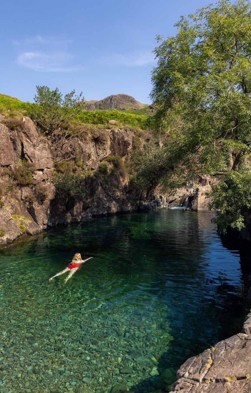
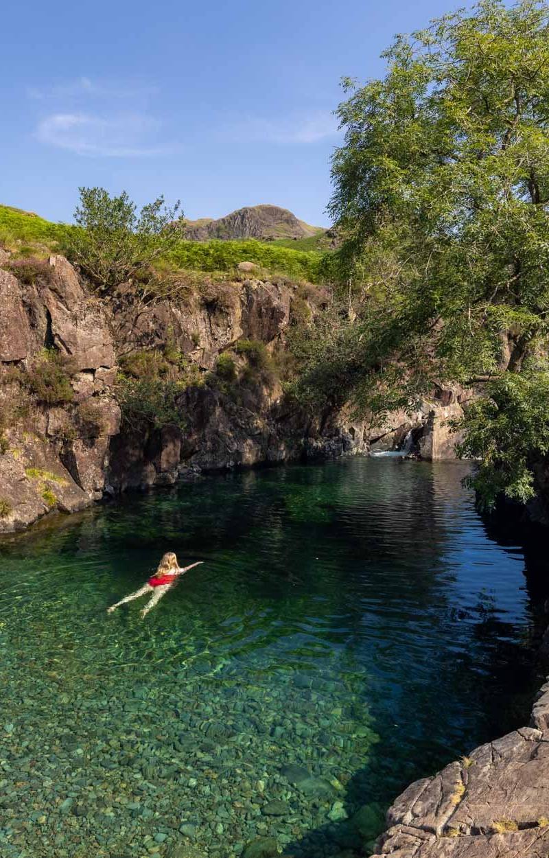
7.0A small mountain tarn in a hanging valley, with the Langdale Pikes rising across the water. Its undisturbed sediments are noted as important for palaeo-environmental research.
Blea Tarn earns its place for the close-set combination of mountain water, a hanging-valley setting and views towards the Langdale Pikes. The short described trail makes it possible to take in the landscape without committing to a long fell walk.
Peaceful · Dramatic · Big-sky
Find your way
Open mapLittle Langdale, Lake District National Park
Opening map…
Know this place a little better?
The experience
Allow around 1–2 hours for the described out-and-back trail and views across the tarn. The source describes mostly level compacted-stone paths, but verify current conditions before travelling.
Things to do
Walk the tarn-side trail
Follow the described 1.8-mile out-and-back trail from a nearby car park, with views across the tarn towards the Langdale Pikes. Verify the start point and current path conditions before setting out.
About 1–2 hours
Look for reflections of the Langdale Pikes
From beside the water, look across the tarn towards the fells; reflections depend on conditions.
Make a day of it
Quick escape · About 1–2 hours; the source describes a 1.8-mile out-and-back trail.
Quick escape: tarn and Pikes
- 01
Start from the nearby car park described by the source; confirm its location and current arrangements before travelling.
- 02
Follow the described out-and-back trail beside Blea Tarn.
- 03
Pause to take in the views towards the Langdale Pikes and the hanging-valley setting.
- 04
Return by the same route.
Verified history
The supplied source describes Blea Tarn and its surrounding land as National Trust-owned and says the site is designated a Site of Special Scientific Interest because its undisturbed sediments are important for palaeo-environmental research. No specific historical events or people are evidenced in the supplied material.
Hidden details
Sediments with a scientific story — The tarn’s undisturbed sediments are described as important for palaeo-environmental research—a less visible point of interest beneath the landscape’s celebrated views.
When to go
· Not established by the supplied sources; check the forecast and local conditions.
No seasonal wildlife, flowering or other seasonal claim is supported by the supplied sources.
Check the Lake District forecast and path conditions before setting out; conditions on the described route are not independently confirmed here.
The route
- surface
- Mostly compacted stone, according to the supplied source
- distance
- 1.8 miles out and back, as described by the supplied source
- duration
- Not stated by the source; allow approximately 1–2 hours as a planning estimate
- difficulty
- Not stated; source describes mostly level compacted-stone paths
- route shape
- Out and back
- start point
- A nearby car park is mentioned; exact start point not supplied
- parking start
- Nearby car park mentioned; confirm location, availability and charges before visiting
- Blea Tarn
- Views towards the Langdale Pikes
- Hanging-valley setting
What to look for
The Langdale Pikes reflected across the tarn when conditions allow, and the way the surrounding valley frames the water.
The story
Palaeo-environmental research
Best time to go
Check local conditions before setting out; no reliably evidenced seasonal peak is supplied.
No specific time of day is verified. Check the forecast and local conditions before visiting.
How long to spend
1–2 hours
Perfect for
Walkers · Photographers · Families
Practical information
Opening & access
A National Trust trail is described as starting from a nearby car park. Check current access and parking arrangements before visiting.
Check before visiting
Parking
A nearby car park is mentioned in the source; location, availability and charges are not confirmed. Check before visiting.
Check before visiting
Toilets
Check before visiting
Check before visiting
Food & drink
Check before visiting
Check before visiting
Dogs
The source row marks the listing dog-friendly; check current rules and signage before visiting.
Check before visiting
Accessibility
The supplied source describes mostly level compacted-stone paths and benches on a 1.8-mile out-and-back trail. Confirm current route conditions and accessibility before visiting.
Cost
Check before visiting
Check before visiting
Water
Lake
Gallery
Place photographsKeep exploring
Around Blea Tarn
Within 50 km · approximate straight-line distances