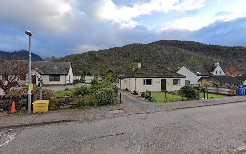
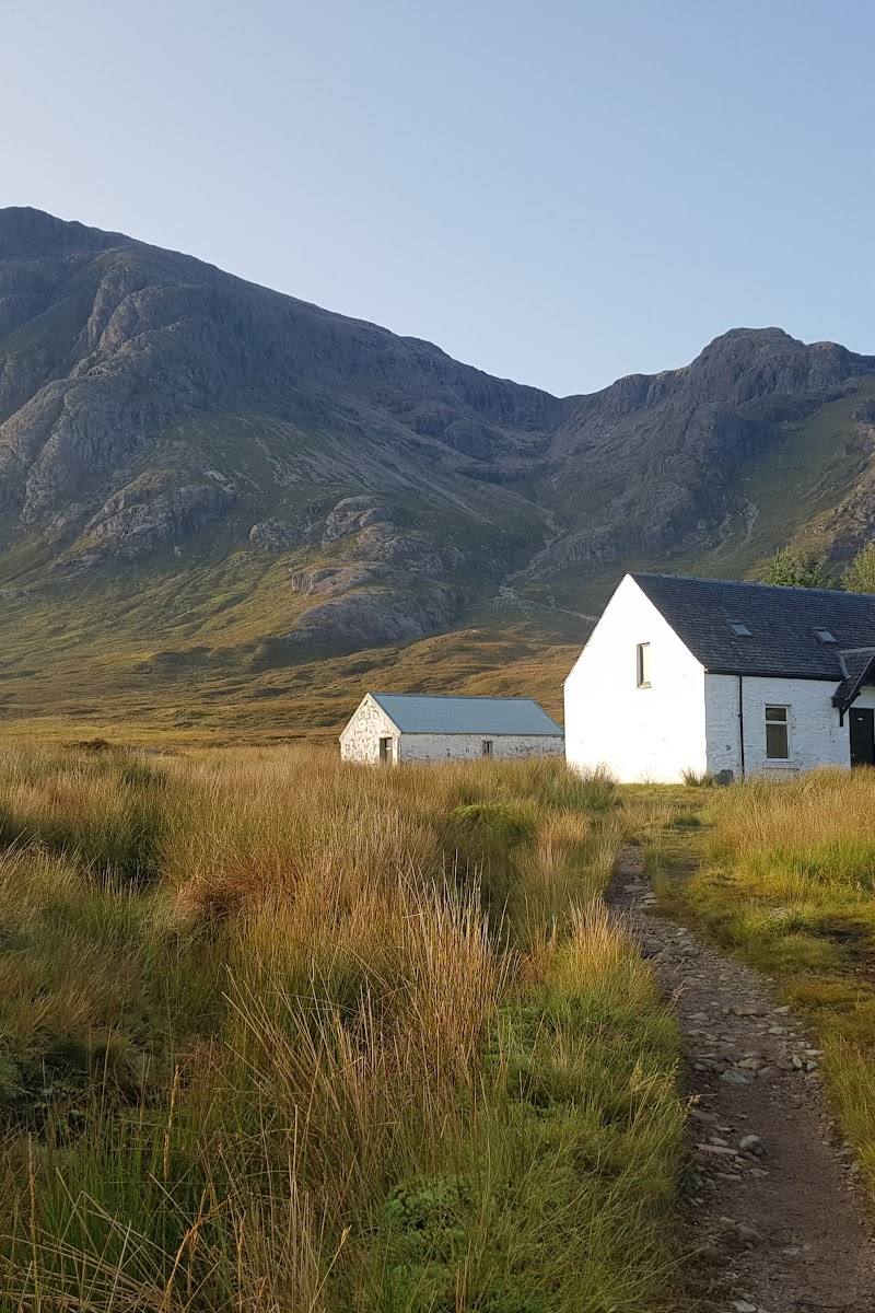
Near Ballachulish, at the entrance to Glen Coe, Scottish Highlands
Buachaille Etive Mòr
Viewpoint
Place photograph
7.5
Wildland
Full day
Time
Check
Cost
Dramatic
Feel
Why it's Wildland
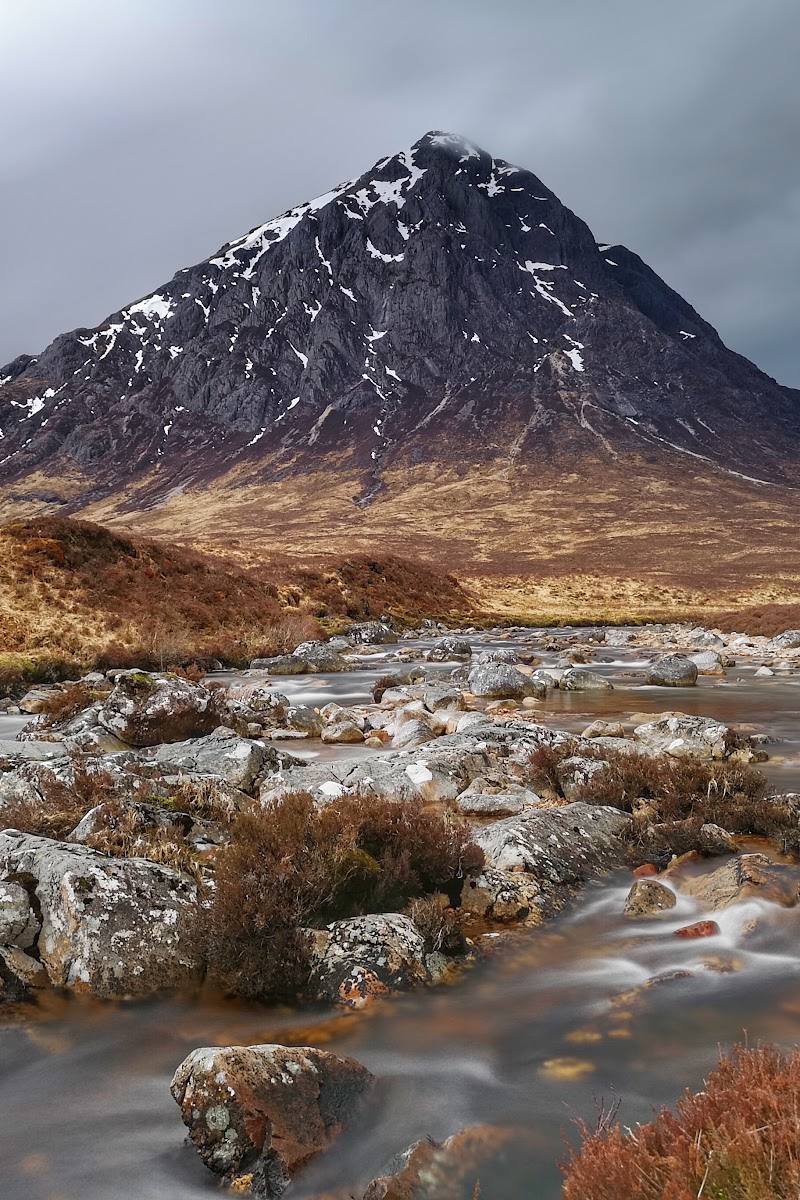
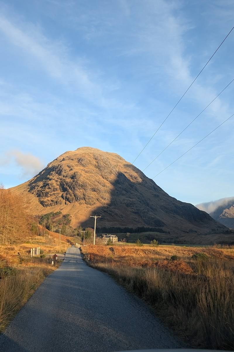
7.5A sharply pyramidal mountain stands sentinel at the entrance to Glen Coe, its appearance shifting with the light and Highland weather.
Buachaille Etive Mòr combines a striking mountain profile with a genuinely demanding hillwalking experience. The view from the road is memorable, but the mountain’s steep, rocky ground and exposed Highland setting make it a place to approach with care and suitable experience.
Dramatic · Wild · Big-sky
Find your way
Open mapNear Ballachulish, at the entrance to Glen Coe, Scottish Highlands
Opening map…
Know this place a little better?
The experience
A celebrated Highland mountain and hillwalking destination, known for its distinctive pyramidal profile above Glen Coe. Visitors can admire it from the valley or undertake a demanding ascent; summit routes require appropriate mountain experience, preparation and conditions.
Things to do
Admire the pyramidal mountain profile
See the mountain that stands at the entrance to Glen Coe. Its appearance changes with the light and weather.
Follow the Lairig Gartain path
A route account describes taking the lower-level path between Buachaille Etive Mòr and Buachaille Etive Beag, before crossing a small bridge and climbing steep ground.
Around 5 hours for the described outing, including stops and lunch
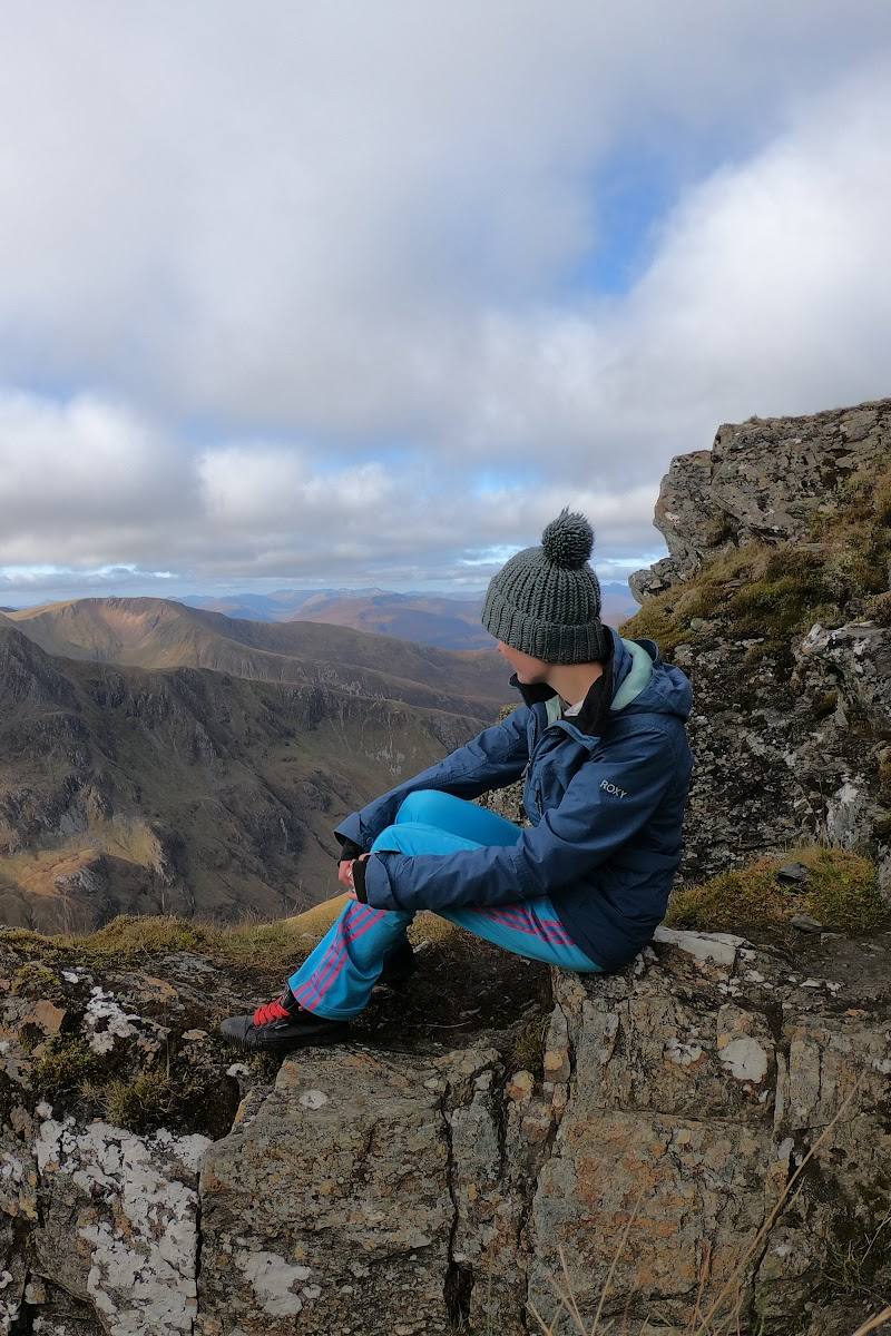
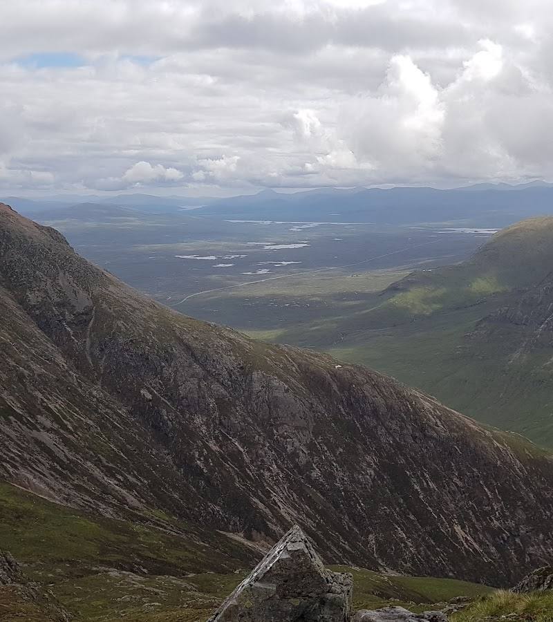
Look down Glen Coe from the mountain
The route account records views looking down Glen Coe. Reaching high ground requires a challenging mountain walk.
Make a day of it
Quick escape · Short stop; duration depends on where you stop
Take in the mountain from the valley
- 01
Find a safe, permitted stopping place in the Glen Coe area.
- 02
Take in Buachaille Etive Mòr’s distinctive pyramidal profile from the valley.
- 03
Allow time to notice how cloud and changing light alter the mountain’s appearance.
Half day · Around 5 hours for the described outing, including stops and lunch
Walk the Lairig Gartain approach
- 01
Check access, parking and current mountain conditions before setting out.
- 02
Use the Lairig Gartain approach described in the route account.
- 03
Enjoy the lower-level path between the two Buachailles; do not continue onto steep mountain ground unless equipped and experienced for it.
Hidden details
The name means “Great Herdsman of Etive” — A hiking account gives this translation of Buachaille Etive Mòr’s Gaelic name.
Two Munros on the ridge — The same route account says the long ridge holds two Munros: Stob Dearg and Stob na Broige.
When to go
· No particular time of day is established by the supplied sources. Check the forecast and visibility before travelling.
The sources do not identify a reliably best season. A route account describes a November outing, but this is not evidence that winter conditions are generally suitable.
Highland mountain weather and visibility can change. The described summit route includes steep, rocky ground; the route account warns of serious hazards on the final rocky headwall in winter conditions. Check a current mountain forecast and do not rely on this account as a substitute for up-to-date route advice.
The route
- ascent
- Around 650 m in the route account
- surface
- A lower-level track followed by steep, rocky and scree-covered ground on the described ascent
- duration
- Around 5 hours including stops and lunch for the outing described in one route account
- difficulty
- Challenging mountain terrain; requires appropriate hillwalking experience and preparation
- start point
- Lairig Gartain car park or nearby pull-off area, as described in the route account; verify current arrangements before setting out
- parking start
- The route account describes parking at the start of the Lairig Gartain. Current parking availability and restrictions are not confirmed.
- shorter alternative
- Enjoy the mountain profile from a safe, permitted valley-side stopping place rather than attempting a summit route.
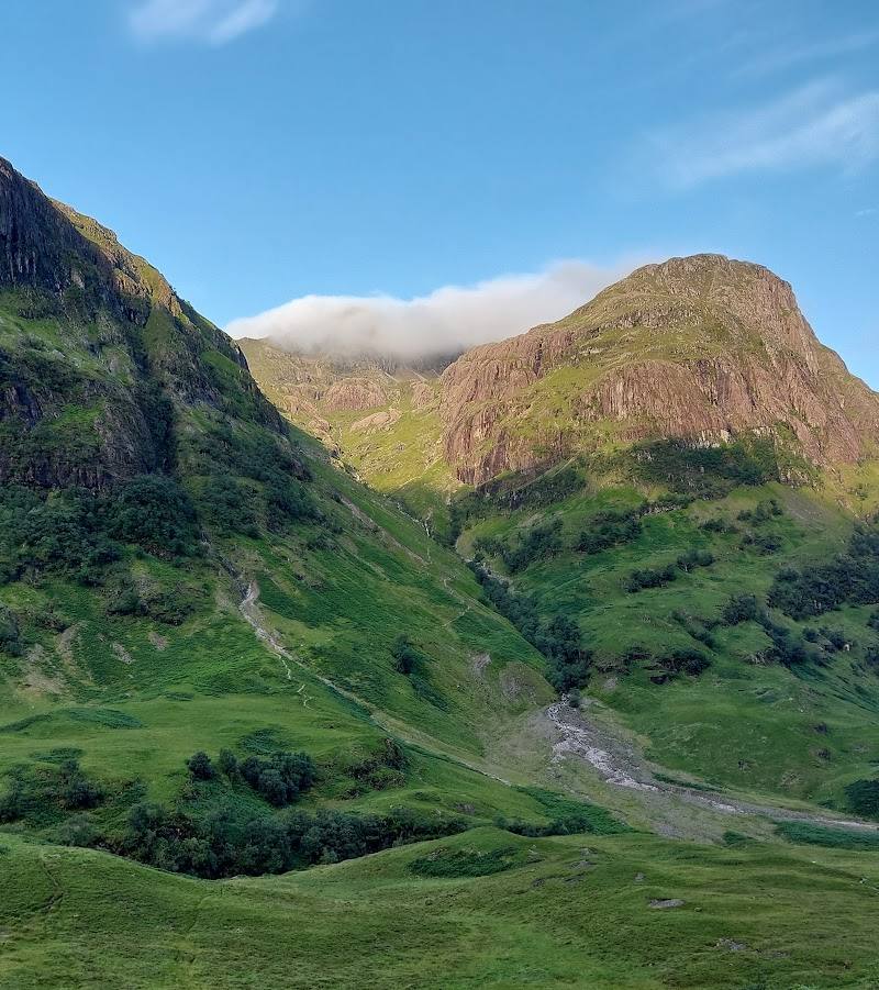
- The pyramidal profile of Buachaille Etive Mòr
- The Lairig Gartain path between the two Buachailles
- Views looking down Glen Coe from the mountain
What to look for
Look for the mountain’s pyramidal outline at the entrance to Glen Coe, and notice how its profile changes with the light and weather. From the high ground, a route account describes views down Glen Coe and towards neighbouring peaks.
Best time to go
No season is established as best by the supplied sources. Choose a day only after checking current mountain forecasts and conditions.
The supplied sources do not establish a particular month or time of day as best. Check the mountain forecast and visibility before travelling; conditions can alter both the route and the views.
How long to spend
Full day
Perfect for
Photographers · Walkers
Before you go
Address
Google rating
Practical information
Opening & access
A popular mountain for hillwalkers, with routes described from the A82 area and Lairig Gartain. Access rights, current parking arrangements and route conditions are not confirmed here; check before visiting. The summit routes are challenging mountain terrain, not casual walks. Access arrangements are unconfirmed. Check before visiting; do not enter private land or restricted structures.
Check before visiting
Parking
A route account describes starting near the Lairig Gartain car park or pull-off area. Current parking availability and restrictions: Check before visiting.
Check before visiting
Toilets
Check before visiting
Check before visiting
Food & drink
Check before visiting
Check before visiting
Dogs
Check before visiting
Check before visiting
Accessibility
The summit walk is a strenuous mountain outing over steep, rocky terrain and is unsuitable for visitors seeking an easy or step-free route. Check current conditions and route information before setting out.
Check before visiting
Cost
Check before visiting
Check before visiting
Gallery
Place photographsKeep exploring
Around Buachaille Etive Mòr
Within 50 km · approximate straight-line distances
 Place photograph6.8
Glen Etive
Glen Etive, near Ballachulish, Scottish Highlands, PH49 4JA
11.9 km away
 Place photograph6.2
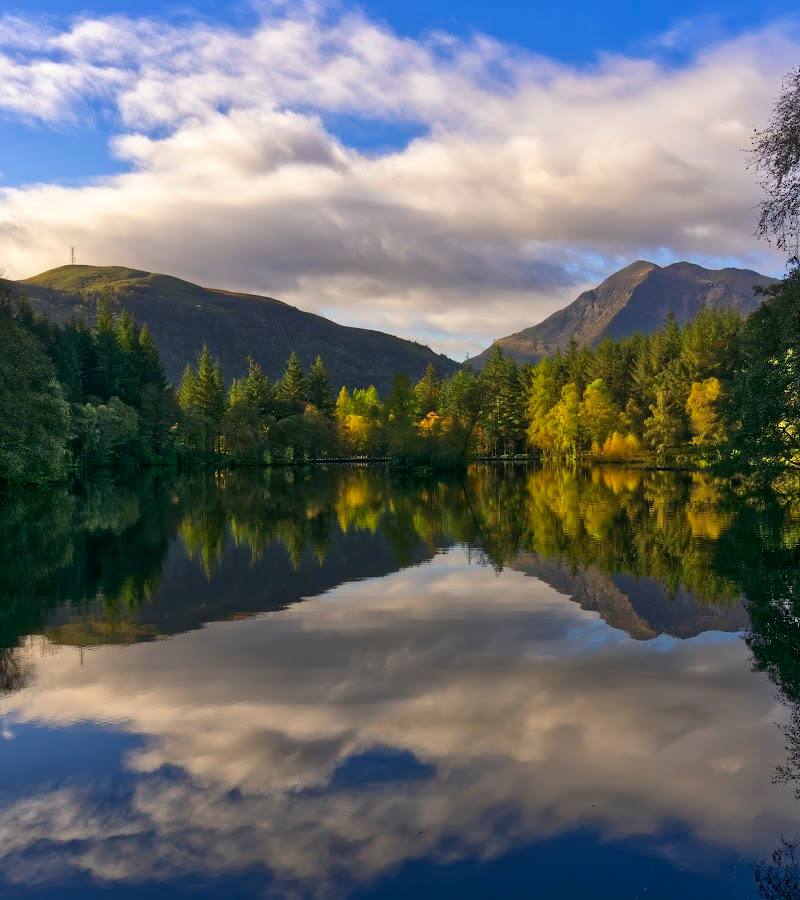
Glencoe Lochan
Ballachulish, near Glencoe Village, Scottish Highlands, Scotland, PH49 4HX
12.2 km away