Lost Valley (Coire Gabhail), Glencoe, near Ballachulish, PH49 4HX
Lost Valley Glencoe
route · Countryside walk
Place photograph
8.2
Wildland
Half day
Time
Check
Cost
Dramatic
Feel
Why it's Wildland
8.2A steep-sided corrie hidden behind Glencoe’s Three Sisters, reached by a rough, rocky path with a short scramble.
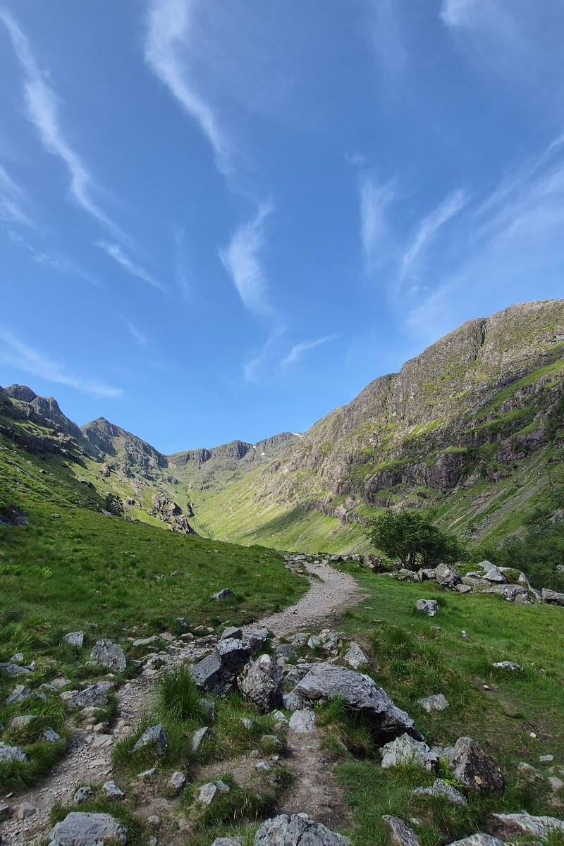
This is a short route with a real sense of entering somewhere concealed: the path climbs through steep mountain terrain before opening into the enclosed Lost Valley beneath the Three Sisters. The rocky surface, steep sections and scramble make it a more demanding outing than its distance alone suggests.
Dramatic · Wild · Atmospheric
Find your way
Open mapLost Valley (Coire Gabhail), Glencoe, near Ballachulish, PH49 4HX
Opening map…
Know this place a little better?
The experience
Allow around 2–3 hours for the out-and-back route, with extra time for conditions and rests. Expect steep, uneven ground and a short scramble; this is not a casual stroll.
Things to do
Climb into the hidden corrie
Follow the rocky out-and-back trail into Coire Gabhail, with steep sections and a short scramble on the approach.
About 2–3 hours
Look for waterfalls beside the river
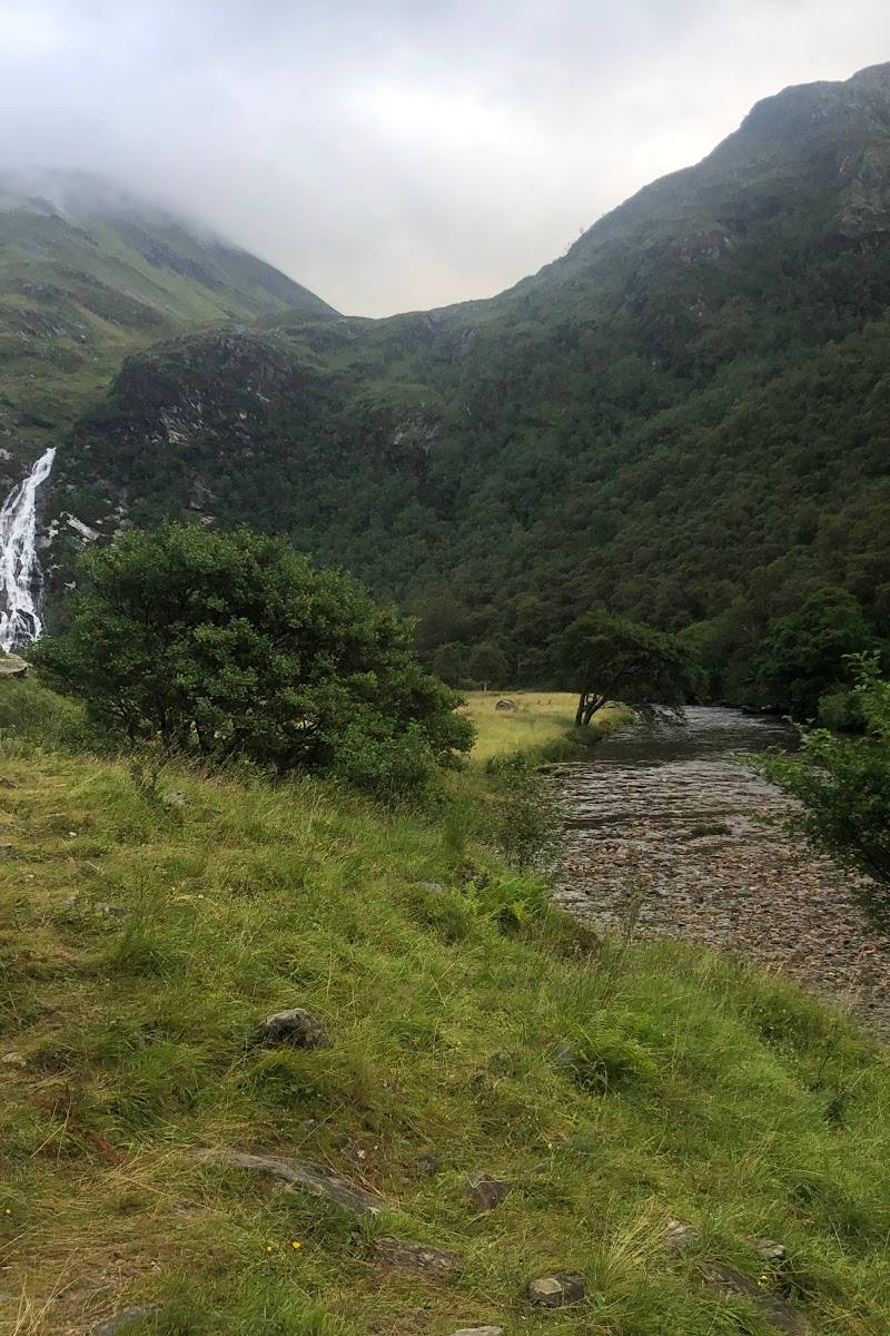
The family-walk account highlights cascading water where the trail meets the Alt Coire Gabhail river.
Take in the Three Sisters
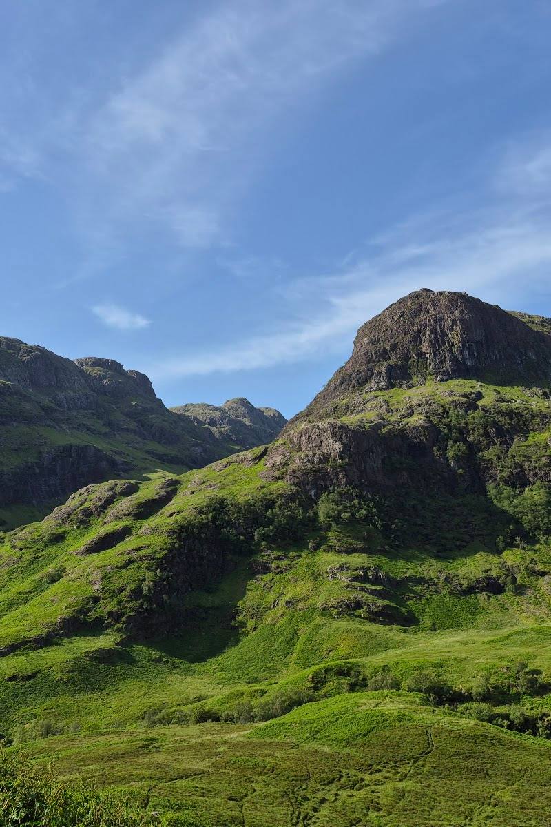
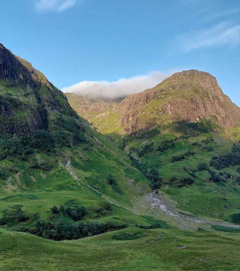
The route approaches the Three Sisters and gives walkers a close view of the surrounding peaks and mountain walls.
Make a day of it
Quick escape · 2–3 hours
Quick Escape: into the Lost Valley
- 01
Begin from the A82-side car-park area near Glencoe Village; confirm the current start and parking arrangements before setting out.
- 02
Follow the rocky, steep path into Coire Gabhail, taking care over the short scrambling section.
- 03
Pause in the enclosed valley to take in the surrounding mountain walls, then return by the same route.
Half day · Half day
Make a half day of it: take your time in Coire Gabhail
- 01
Allow extra time beyond the walk estimate for breaks and changing mountain conditions.
- 02
Walk the out-and-back route at a pace that suits the steep, rocky ground; negotiate the short scramble carefully.
- 03
Spend time in the corrie looking back towards its enclosing slopes and the surrounding Three Sisters scenery.
- 04
Return by the same path and check local options separately if you want to add food or another stop.
Verified history
The supplied material does not include an authoritative historical source. Tripadvisor’s AI-generated attraction description says the corrie was used by the MacDonalds to hide cattle and shelter some survivors of the 1692 Massacre of Glencoe; this account needs verification before being presented as established history.
Hidden details
The corrie’s enclosed setting — Notice how the steep rock walls close around the valley as the path emerges from its climb.
Water along the approach — Look for the waterfalls described near the trail’s meeting point with the Alt Coire Gabhail river.
When to go
· Check conditions before visiting; the supplied sources do not identify a best time of day.
No season-specific recommendation is supported by the supplied sources. Weather and ground conditions matter on this steep, rocky route.
Check the forecast and current mountain conditions before setting out. The route includes steep, rough ground and a short scramble.
The route
- ascent
- Sources differ: approximately 275 m or 335 m. Verify against a current route source.
- surface
- Rough, rocky mountain path with steep sections and a short scramble.
- distance
- Sources give different estimates: about 4 km (2.5 miles) round trip in the Tripadvisor description and 5 km (3.1 miles) in the family-walk guide. Check a current route map.
- duration
- About 2–3 hours according to the Tripadvisor description; another supplied account estimates 3–4 hours.
- difficulty
- Moderate to challenging: steep, rough and rocky in places, with a short scramble.
- route shape
- Out and back, returning by the same route.
- start point
- Car parks on the A82 near Glencoe Village are described in the supplied Tripadvisor source; confirm the exact start before visiting.
- parking start
- A82-side car parks near Glencoe Village are described by the supplied source. Current availability and restrictions are not verified.
- The enclosed Lost Valley (Coire Gabhail)
- The Three Sisters and surrounding mountain walls
- Waterfalls beside the Alt Coire Gabhail river, as described by the family-walk source
What to look for
Notice the transition from the steep approach into the enclosed corrie, the surrounding rock walls and the Three Sisters. The family-walk source also describes waterfalls beside the Alt Coire Gabhail river.
The story
The supplied Tripadvisor description says the corrie was used to hide cattle and shelter survivors of the 1692 Massacre of Glencoe; treat this account as requiring further verification.
Best time to go
Check current mountain conditions before visiting; the supplied sources do not establish a best season.
The supplied sources do not establish a best time of day or seasonal window. Check weather and mountain conditions before setting out.
How long to spend
Half day
Perfect for
Walkers · Photographers
Route at a glance
Duration
Half day
Terrain
Hills, Valley
Parking / start
Sources describe car parks on the A82 near Glencoe Village. Confirm availability and restrictions before travelling.
Before you go
Address
Google rating
Practical information
Opening & access
A rocky out-and-back hiking route into Coire Gabhail. The supplied sources describe a start from car parks beside the A82 near Glencoe Village; check current access and parking arrangements before setting out.
Check before visiting
Parking
Sources describe car parks on the A82 near Glencoe Village. Confirm availability and restrictions before travelling.
Toilets
Check before visiting
Check before visiting
Food & drink
Check before visiting
Check before visiting
Dogs
Check before visiting
Check before visiting
Accessibility
Not suitable for wheelchair access: sources describe steep, rough, rocky sections and a short scramble.
Cost
Check before visiting
Check before visiting
Water
River; waterfalls are described along the route.
Gallery
Place photographs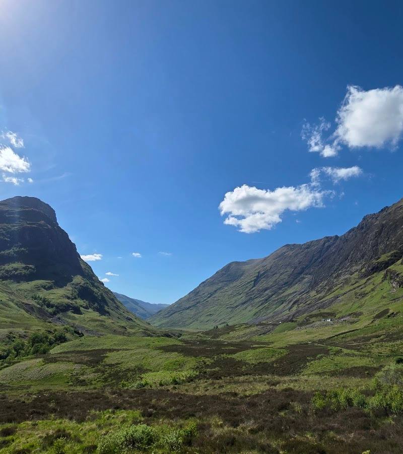
Keep exploring
Around Lost Valley Glencoe
Within 50 km · approximate straight-line distances
 Place photograph7.3
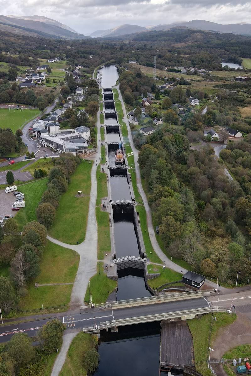
Neptune’s Staircase
Banavie, Fort William, Lochaber, Scottish Highlands
22.1 km away
 Place photograph8.2
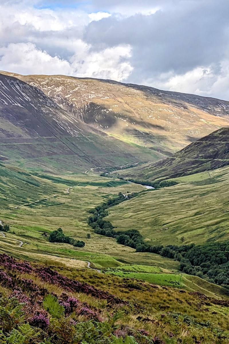
Glen Roy National Nature Reserve
Glen Roy, Lochaber, Scottish Highlands
32.7 km away